Guscott
Settlement in Devon Torridge
England
Guscott
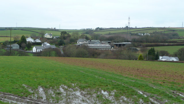
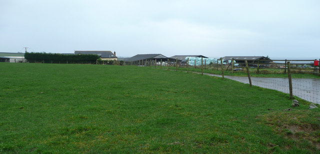
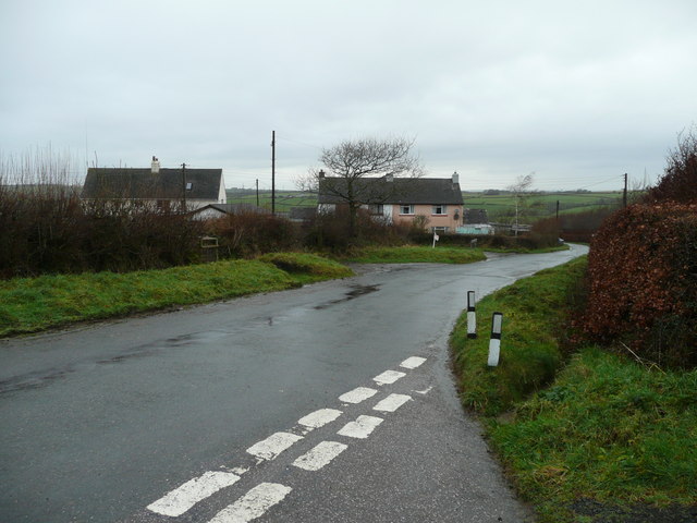
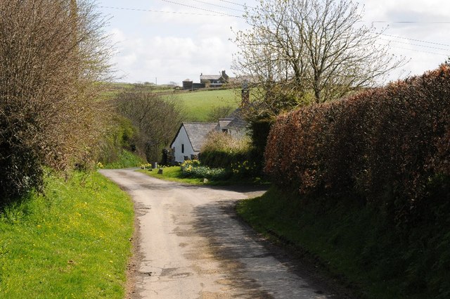
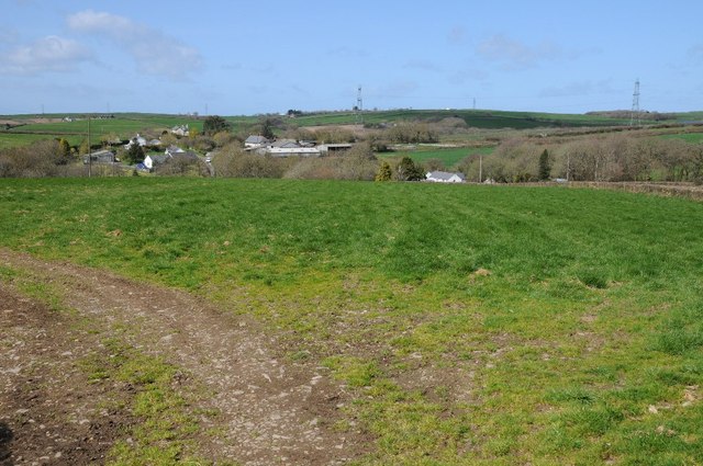
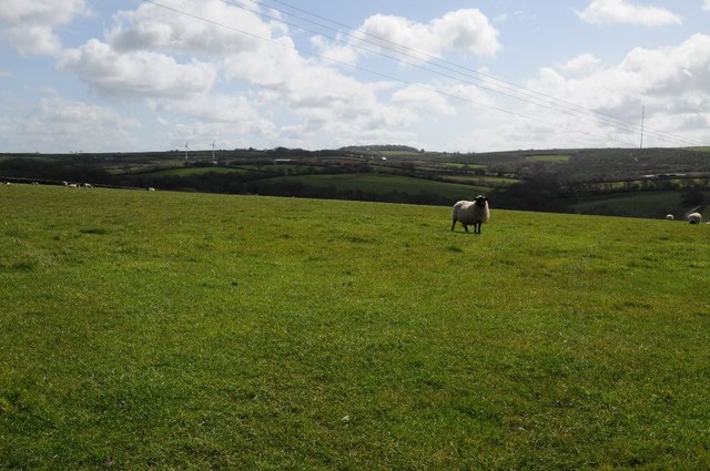
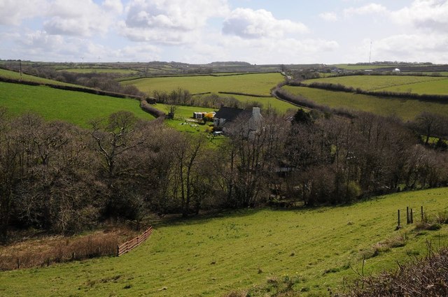
Guscott is a small village located in the county of Devon, in the southwest of England. Situated approximately 10 miles northwest of the bustling city of Plymouth, Guscott is surrounded by picturesque countryside and offers a peaceful and rural setting for its residents.
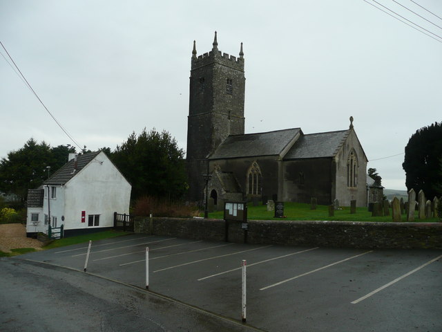
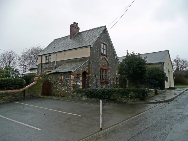
The village is characterized by its traditional English charm, with a collection of quaint cottages and old stone buildings lining its narrow streets. The village center consists of a small green area, where locals often gather for community events and activities.
Despite its size, Guscott boasts a strong sense of community, with residents actively engaging in various social and cultural initiatives. The village has a primary school, providing education to the local children, and a village hall that serves as a hub for community gatherings and events.
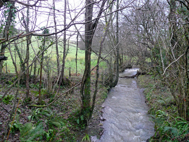
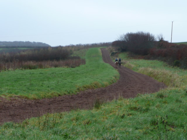
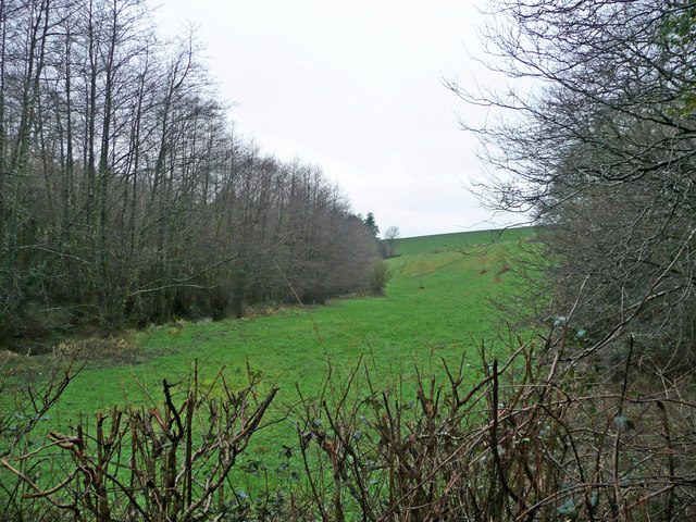
One of the notable features of Guscott is its proximity to Dartmoor National Park. This vast and stunning natural landscape is a haven for outdoor enthusiasts, offering opportunities for hiking, cycling, and horseback riding.
Although the village itself does not have many amenities, the nearby town of Tavistock provides residents with access to a wider range of services, including shops, restaurants, and healthcare facilities.
Guscott's idyllic location and close-knit community make it an attractive place to live for those seeking a quiet and rural lifestyle within reach of urban conveniences.
If you have any feedback on the listing, please let us know in the comments section below.
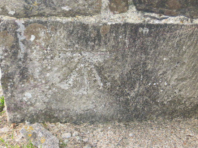
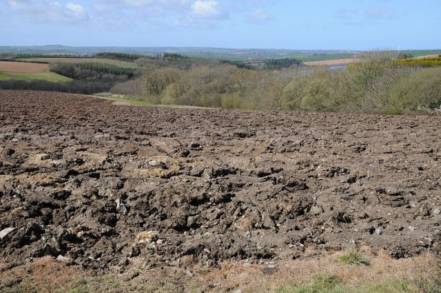
Guscott Images
Images are sourced within 2km of 50.993027/-4.134696 or Grid Reference SS5023. Thanks to Geograph Open Source API. All images are credited.
Guscott is located at Grid Ref: SS5023 (Lat: 50.993027, Lng: -4.134696)
Administrative County: Devon
District: Torridge
Police Authority: Devon and Cornwall
What 3 Words
///cabbages.crest.tropic. Near Great Torrington, Devon
Nearby Locations
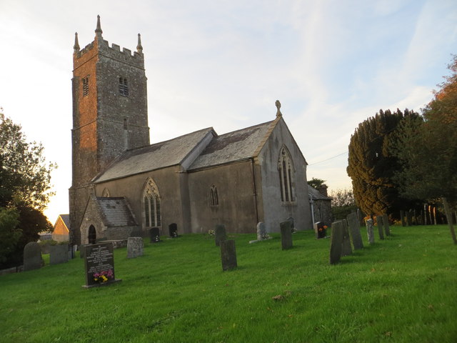
Related Wikis

Huntshaw
Huntshaw is a village and civil parish located 2.5 north north east of Great Torrington, in the Torridge district, in the county of Devon, England. In...

Berry Castle, Huntshaw
Berry Castle is an Iron Age Hill fort in the civil parish of Huntshaw, close to Weare Giffard in Devon, England, to the north of Great Torrington. The...

Alverdiscott
Alverdiscott (pronounced Alscott, or ) is a village, civil parish, former manor and former ecclesiastical parish in the Torridge district of Devon, England...

Webbery, Alverdiscott
Webbery (anciently Wibbery) is an historic manor in the parish of Alverdiscott in North Devon, England. == History == === Nicholas the Bowman === The manor...

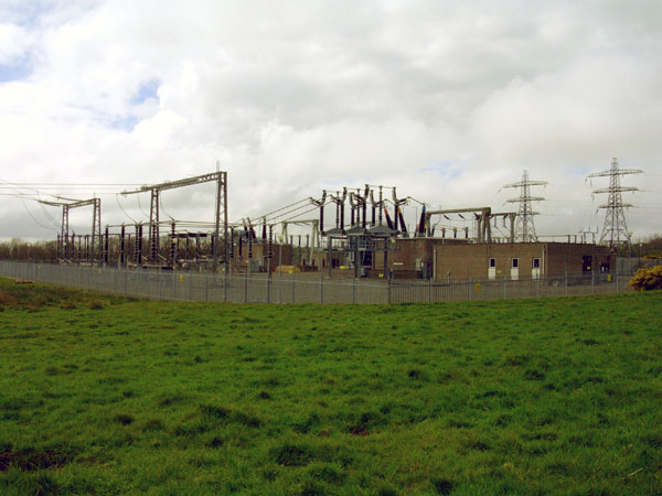
Huntshaw Cross transmitting station
Huntshaw Cross transmitting station is a telecommunications facility serving North Devon including the towns of Barnstaple and South Molton. It broadcasts...
Belle Vue Airfield
Belle Vue Airfield (often classed as airport or heliport) is a single runway airfield about 2.5 miles (4.0 km) north east of Great Torrington in North...

Horwood, Devon
Horwood is a village and former civil parish, now in the parish of Horwood, Lovacott and Newton Tracey, in the North Devon district, in the county of Devon...

Newton Tracey
Newton Tracey is a village and former civil parish, now in the parish of Horwood, Lovacott and Newton Tracey, in the North Devon district of Devon, England...
Nearby Amenities
Located within 500m of 50.993027,-4.134696Have you been to Guscott?
Leave your review of Guscott below (or comments, questions and feedback).