Guscott Wood

Wood, Forest in Devon Torridge

England

Guscott Wood

Delve's Grave Cross Suitably miserable weather for such a lugubriously named spot. The green lane marked "unsuitable for motor vehicles" goes to Higher Darracott, and the main lane is heading from Torrington towards Alverdiscott, although this isn't advertised. The lane behind the camera is from the B3232 near Deep Moor.
Delve's Grave Cross Credit: Derek Harper

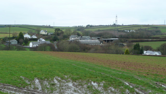
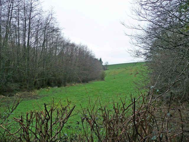
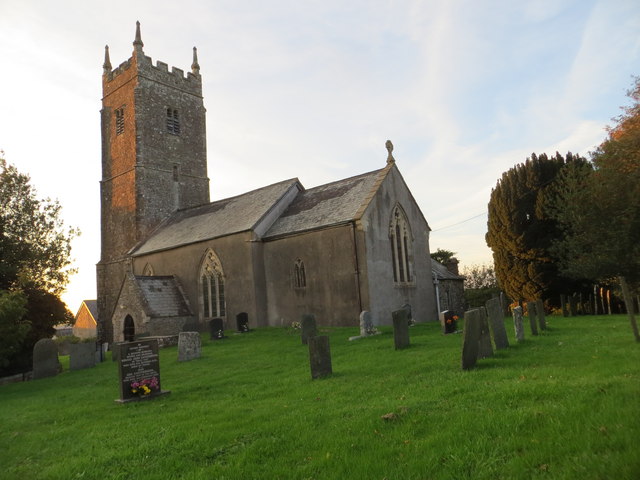
Guscott Wood is a charming forest located in the county of Devon, England. Situated near the town of Holsworthy, it covers an expansive area of approximately 100 acres, making it a significant natural landmark in the region. The wood is predominantly composed of various native tree species, including oak, beech, ash, and birch, creating a diverse and vibrant ecosystem.

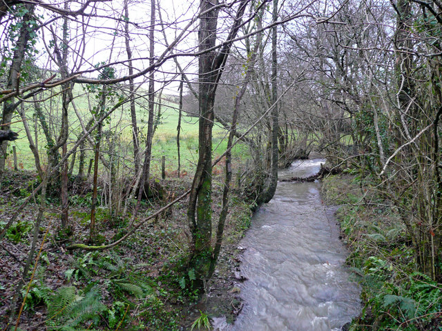
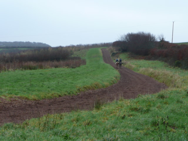
This woodland area offers a tranquil and picturesque setting for nature enthusiasts and outdoor lovers alike. Its well-maintained trails and paths allow visitors to explore the forest while immersing themselves in its peaceful ambiance. The dense canopy of trees provides shade during the summer months, creating a cool and refreshing atmosphere.

Guscott Wood is known for its rich biodiversity, as it is home to a wide array of plant and animal species. Nature enthusiasts can observe a plethora of bird species, such as woodpeckers, owls, and various songbirds, making it a popular spot for birdwatching. Additionally, the forest supports numerous mammals, including foxes, deer, and badgers.

The wood is also a haven for flora, with a diverse range of wildflowers and fungi thriving throughout the seasons. Bluebells create a vibrant carpet of color in the spring, while mushrooms and toadstools emerge during the wetter months.

Overall, Guscott Wood is a precious natural gem in Devon, offering a serene retreat for visitors seeking a peaceful escape and a chance to connect with nature.

If you have any feedback on the listing, please let us know in the comments section below.
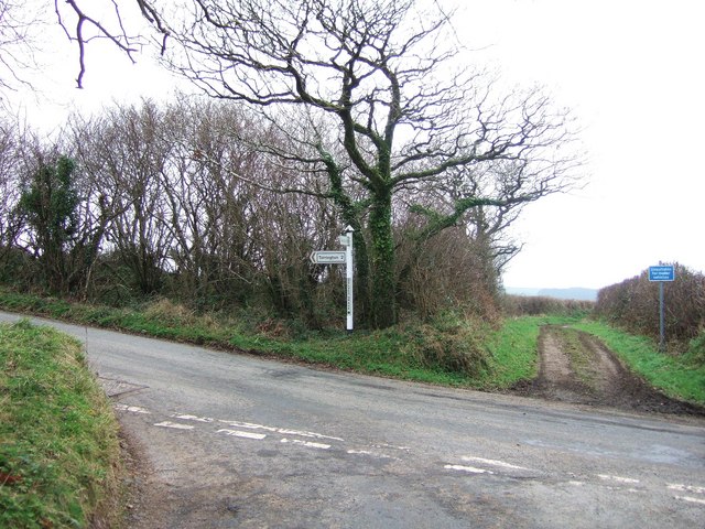
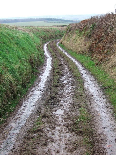
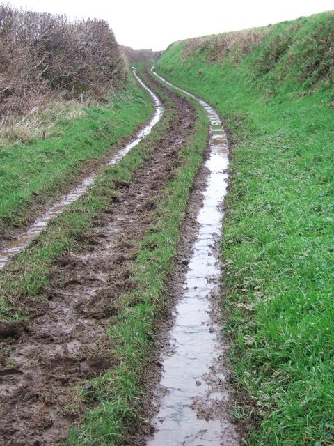
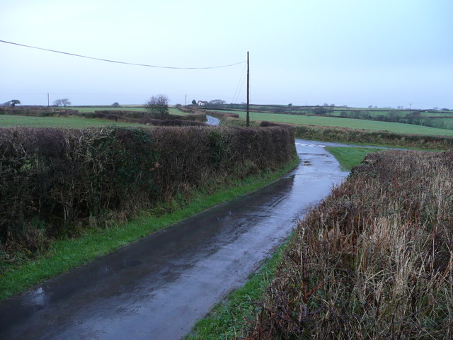
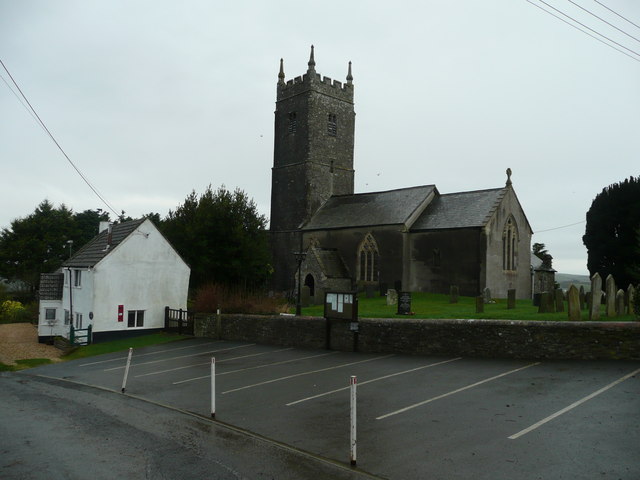
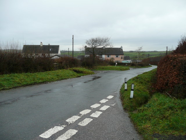
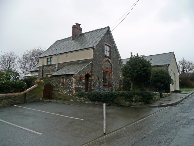
Guscott Wood Images

Images are sourced within 2km of 50.990089/-4.1374824 or Grid Reference SS5023. Thanks to Geograph Open Source API. All images are credited.

Delve's Grave Cross Suitably miserable weather for such a lugubriously named spot. The green lane marked "unsuitable for motor vehicles" goes to Higher Darracott, and the main lane is heading from Torrington towards Alverdiscott, although this isn't advertised. The lane behind the camera is from the B3232 near Deep Moor.
Delve's Grave Cross
Suitably miserable weather for such a lugubriously named spot. The green lane marked "unsuitable for motor vehicles" goes to Higher Darracott, and the main lane is heading from Torrington towards Alverdiscott, although this isn't advertised. The lane behind the camera is from the B3232 near Deep Moor.
Higher Darracott The farmhouse, which gives the impression of being an old building, is on a bend on the lane between Huntshaw and Darracott Cross.
Higher Darracott
The farmhouse, which gives the impression of being an old building, is on a bend on the lane between Huntshaw and Darracott Cross.
Green lane to Higher Darracott Seen in steady rain, the green lane from <a href="https://www.geograph.org.uk/photo/649208">SS5121 : Delve's Grave Cross</a> twists between banks.
Green lane to Higher Darracott
Seen in steady rain, the green lane from SS5121 : Delve's Grave Cross twists between banks.
Green lane to Delve's Grave Cross The other end of <a href="https://www.geograph.org.uk/photo/658522">SS5121 : Green lane to Higher Darracott</a>, close to Higher Darracott, and similar in character except for a steeper gradient - and the rain was heavier.
Green lane to Delve's Grave Cross
The other end of SS5121 : Green lane to Higher Darracott, close to Higher Darracott, and similar in character except for a steeper gradient - and the rain was heavier.
Haddacott Cross How to make a Devon lane junction exciting? Stand on the bank in the rain in January!
Haddacott Cross
How to make a Devon lane junction exciting? Stand on the bank in the rain in January!
Brownscombe Farm Set amid surrounding fields and houses to the west of Haddacott.
Brownscombe Farm
Set amid surrounding fields and houses to the west of Haddacott.
Huntshaw Water In winter spate east of the bridge near Guscott.
Huntshaw Water
In winter spate east of the bridge near Guscott.
Gallops at Carrier's Lane End A morning gallop in the rain in the west Devon countryside.
Gallops at Carrier's Lane End
A morning gallop in the rain in the west Devon countryside.
Knockworthy Farm Surrounded by pasture land east of Huntshaw.
Knockworthy Farm
Surrounded by pasture land east of Huntshaw.
St. Mary Magdalene's church, Huntshaw Large church, tiny village.
St. Mary Magdalene's church, Huntshaw
Large church, tiny village.
Carrier's Lane End Farm-workers' houses near Huntshaw.
Carrier's Lane End
Farm-workers' houses near Huntshaw.
Old school house, Huntshaw Right next to the church in this tiny village.
Old school house, Huntshaw
Right next to the church in this tiny village.
The Huntshaw valley Woodland in a steep-sided feature.
The Huntshaw valley
Woodland in a steep-sided feature.
The church of St Mary Magdalene at Huntshaw
Ordnance Survey Cut Mark This mark can be found on the wall of St Mary Magdalene Church.
For more detail see : <span class="nowrap"><a title="http://www.bench-marks.org.uk/bm52415" rel="nofollow ugc noopener" href="http://www.bench-marks.org.uk/bm52415">Link</a><img style="margin-left:2px;" alt="External link" title="External link - shift click to open in new window" src="https://s1.geograph.org.uk/img/external.png" width="10" height="10"/></span>
Ordnance Survey Cut Mark
This mark can be found on the wall of St Mary Magdalene Church. For more detail see : LinkExternal link
Ploughed field near Knockworthy Ploughed field near Knockworthy to the east of Huntshaw
Ploughed field near Knockworthy
Ploughed field near Knockworthy to the east of Huntshaw
Solar Farm near Huntshaw A large solar farm on the hillside near Huntshaw.
Solar Farm near Huntshaw
A large solar farm on the hillside near Huntshaw.
Farmland viewed from near Delve's Grave Cross View north across farmland from near Delve's Grave Cross.  Waggadon can be seen on the right across the valley
Farmland viewed from near Delve's Grave Cross
View north across farmland from near Delve's Grave Cross. Waggadon can be seen on the right across the valley
Show me another place!

Guscott Wood is located at Grid Ref: SS5023 (Lat: 50.990089, Lng: -4.1374824)

Administrative County: Devon

District: Torridge

Police Authority: Devon and Cornwall

What 3 Words

///trapdoor.fishery.estuaries. Near Great Torrington, Devon

Related Wikis

Huntshaw

Huntshaw is a village and civil parish located 2.5 north north east of Great Torrington, in the Torridge district, in the county of Devon, England. In...

Berry Castle, Huntshaw

Berry Castle is an Iron Age Hill fort in the civil parish of Huntshaw, close to Weare Giffard in Devon, England, to the north of Great Torrington. The...

Webbery, Alverdiscott

Webbery (anciently Wibbery) is an historic manor in the parish of Alverdiscott in North Devon, England. == History == === Nicholas the Bowman === The manor...

Alverdiscott

Alverdiscott (pronounced Alscott, or ) is a village, civil parish, former manor and former ecclesiastical parish in the Torridge district of Devon, England...

Nearby Amenities

Located within 500m of 50.990089,-4.1374824
Power: tower
Lat/Long: 50.9908403/-4.140836
Power: tower
Lat/Long: 50.9929194/-4.1398933
Guscott
Place: hamlet
Lat/Long: 50.9935615/-4.1345028
Power: pole
Source: bing
Lat/Long: 50.9874328/-4.1424452
The data included in this document is from www.openstreetmap.org. The data is made available under ODbL.

Have you been to Guscott Wood?

Leave your review of Guscott Wood below (or comments, questions and feedback).