Huntshaw Water
Settlement in Devon Torridge
England
Huntshaw Water
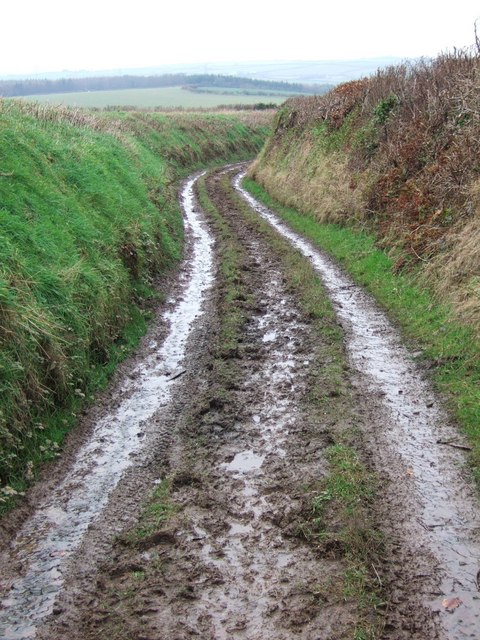
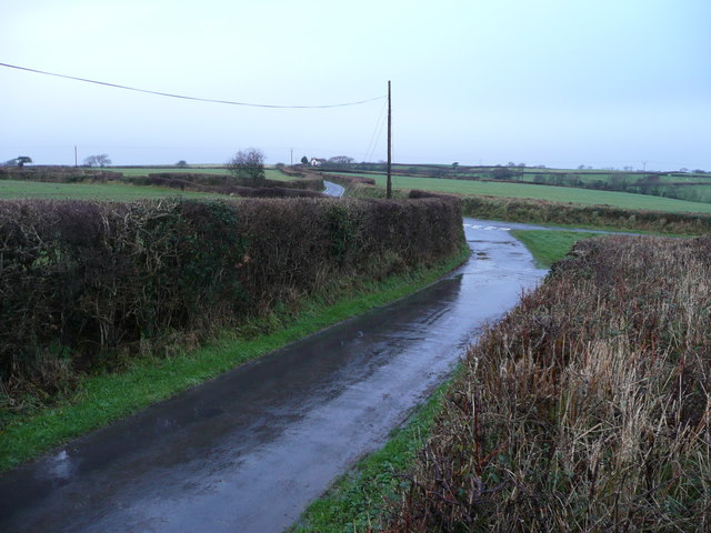
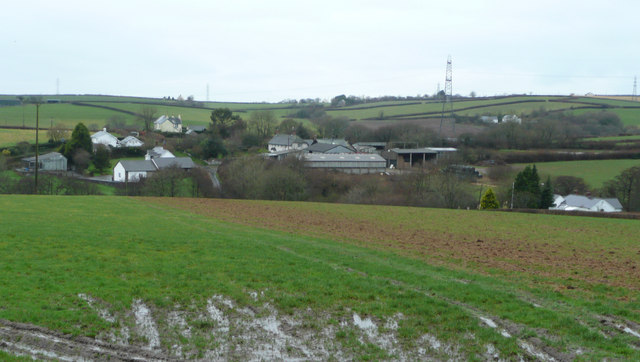
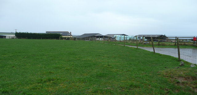
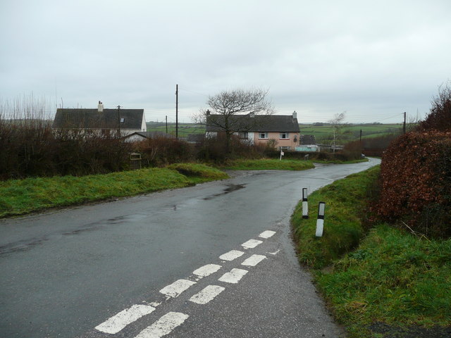
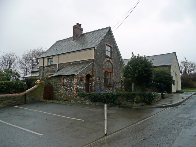
Huntshaw Water is a small village located in the county of Devon, in southwestern England. Situated in the Torridge district, the village is nestled within the picturesque rolling countryside of the region. With a population of around 200 residents, Huntshaw Water is a peaceful and close-knit community.
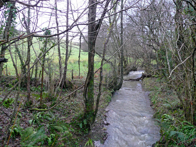
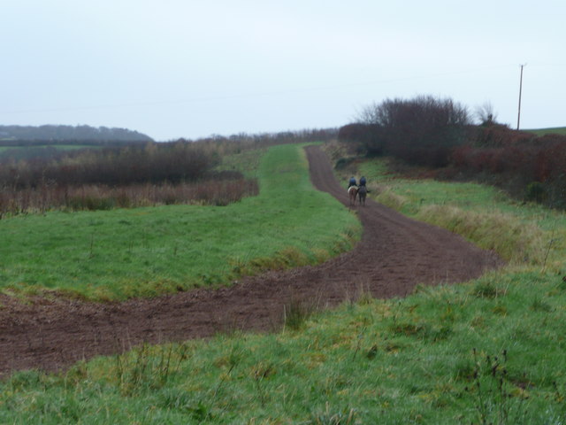
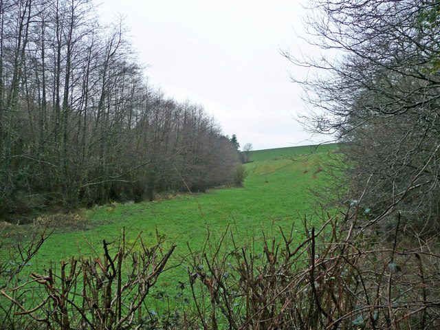
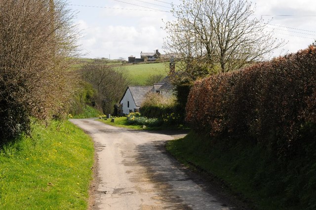
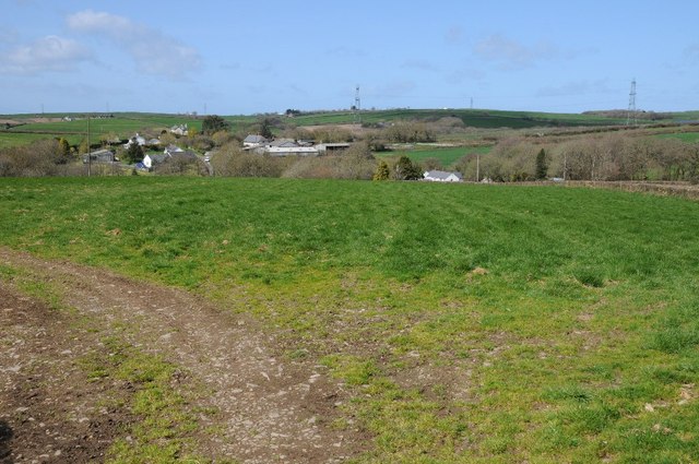
The village is renowned for its natural beauty, with the River Torridge running nearby, offering stunning views and providing opportunities for outdoor activities such as fishing and boating. The surrounding countryside is characterized by lush green fields, woodlands, and gentle hills, making it an ideal location for nature lovers and hikers.
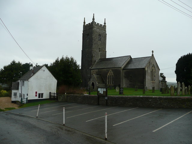
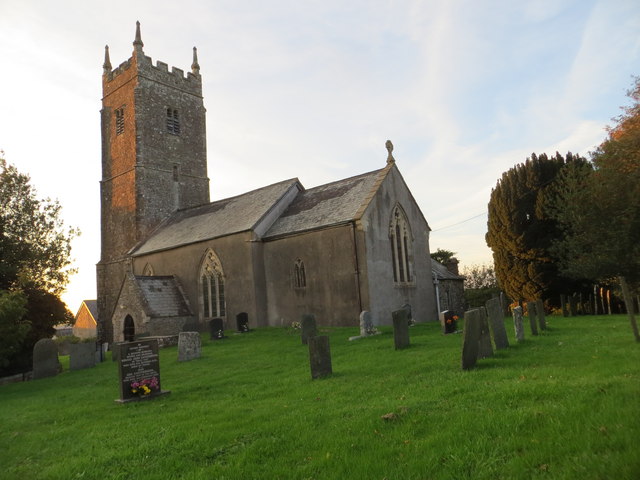
Huntshaw Water is home to a charming church, St. Mary's, which dates back to the 13th century. This historic building is a prominent feature of the village and attracts visitors interested in its architectural and historical significance.
Despite its small size, Huntshaw Water benefits from a strong sense of community spirit. The village has a local pub, The Hunters Inn, which serves as a popular gathering place for locals and visitors alike. The pub offers a warm and friendly atmosphere, providing a meeting point for residents to socialize and enjoy traditional English pub food.
Huntshaw Water is a tranquil village that offers a peaceful escape from the hustle and bustle of city life. Its natural beauty, historic church, and tight-knit community make it an appealing destination for those seeking a quintessential English countryside experience.
If you have any feedback on the listing, please let us know in the comments section below.
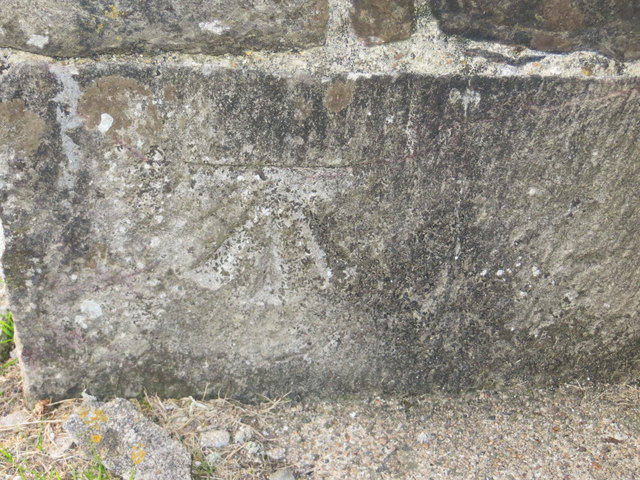
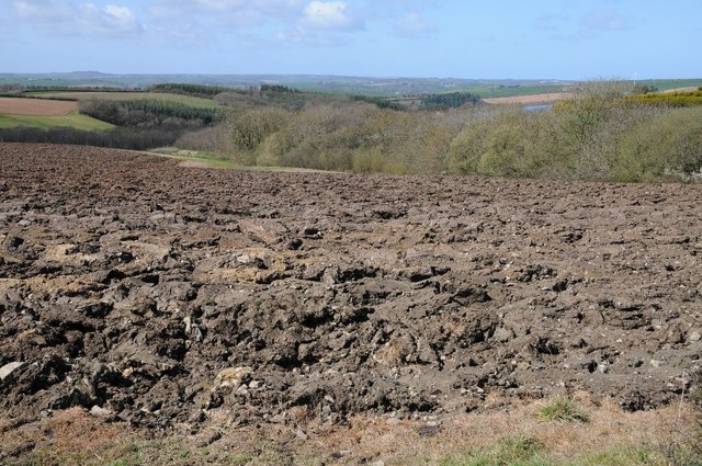
Huntshaw Water Images
Images are sourced within 2km of 50.993266/-4.1314436 or Grid Reference SS5023. Thanks to Geograph Open Source API. All images are credited.


Huntshaw Water is located at Grid Ref: SS5023 (Lat: 50.993266, Lng: -4.1314436)
Administrative County: Devon
District: Torridge
Police Authority: Devon and Cornwall
What 3 Words
///shrub.deduced.diverting. Near Great Torrington, Devon
Nearby Locations
Related Wikis

Huntshaw
Huntshaw is a village and civil parish located 2.5 north north east of Great Torrington, in the Torridge district, in the county of Devon, England. In...

Berry Castle, Huntshaw
Berry Castle is an Iron Age Hill fort in the civil parish of Huntshaw, close to Weare Giffard in Devon, England, to the north of Great Torrington. The...

Alverdiscott
Alverdiscott (pronounced Alscott, or ) is a village, civil parish, former manor and former ecclesiastical parish in the Torridge district of Devon, England...

Webbery, Alverdiscott
Webbery (anciently Wibbery) is an historic manor in the parish of Alverdiscott in North Devon, England. == History == === Nicholas the Bowman === The manor...

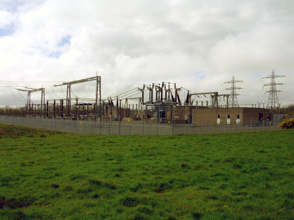
Huntshaw Cross transmitting station
Huntshaw Cross transmitting station is a telecommunications facility serving North Devon including the towns of Barnstaple and South Molton. It broadcasts...
Belle Vue Airfield
Belle Vue Airfield (often classed as airport or heliport) is a single runway airfield about 2.5 miles (4.0 km) north east of Great Torrington in North...

Newton Tracey
Newton Tracey is a village and former civil parish, now in the parish of Horwood, Lovacott and Newton Tracey, in the North Devon district of Devon, England...

Horwood, Devon
Horwood is a village and former civil parish, now in the parish of Horwood, Lovacott and Newton Tracey, in the North Devon district, in the county of Devon...
Nearby Amenities
Located within 500m of 50.993266,-4.1314436Have you been to Huntshaw Water?
Leave your review of Huntshaw Water below (or comments, questions and feedback).