Grimshaw Park
Settlement in Lancashire
England
Grimshaw Park
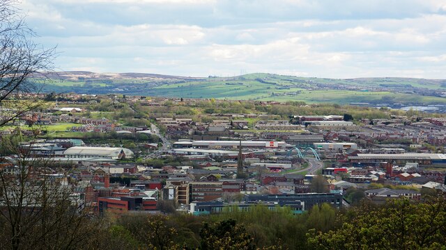
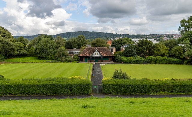
Grimshaw Park is a beautiful park located in Lancashire, England. Situated in the town of Blackburn, it spans across a vast area and offers a range of recreational activities for visitors of all ages. The park is well-maintained and features lush green spaces, vibrant flower beds, and a variety of trees that provide ample shade.
One of the main attractions of Grimshaw Park is its extensive network of paths and trails, which are perfect for leisurely walks, jogging, or cycling. These paths wind their way through the park, offering visitors stunning views of the surrounding landscape. There are also designated areas for picnics, allowing families and friends to enjoy a meal amidst the park's serene ambiance.
For those seeking more active pursuits, Grimshaw Park boasts a well-equipped playground that caters to children of all ages. The playground features modern and safe equipment, including swings, slides, climbing frames, and sandpits, ensuring endless hours of fun and entertainment.
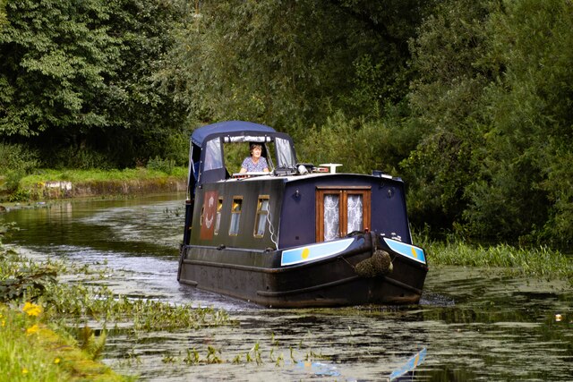
Moreover, the park is home to a picturesque lake that attracts a variety of bird species, making it a popular spot for birdwatching enthusiasts. Fishing is also permitted in the lake, adding to the park's appeal for outdoor enthusiasts.
Overall, Grimshaw Park offers a tranquil and scenic retreat for locals and tourists alike. With its well-maintained green spaces, recreational facilities, and stunning natural beauty, it provides a perfect escape from the hustle and bustle of everyday life.
If you have any feedback on the listing, please let us know in the comments section below.
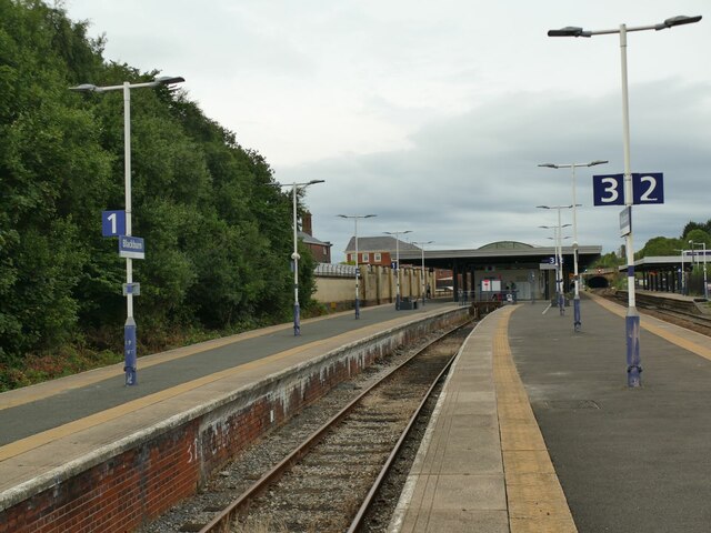
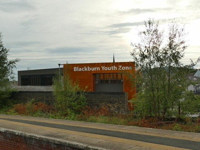
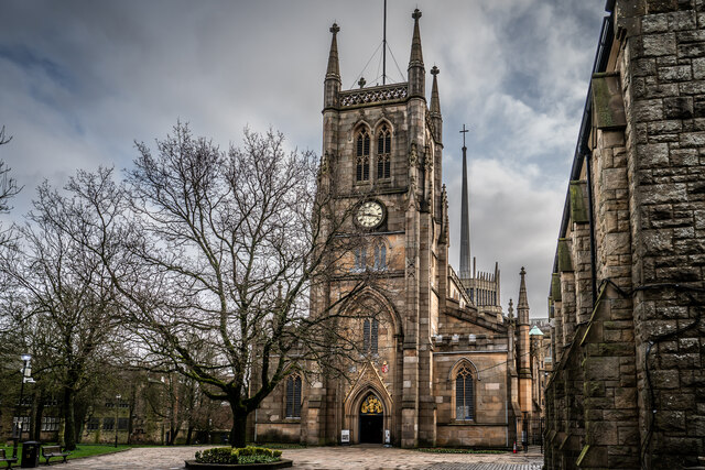
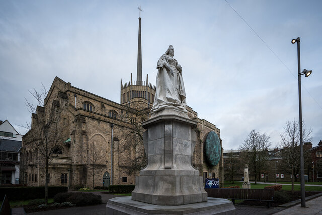
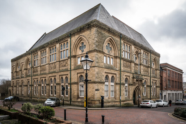
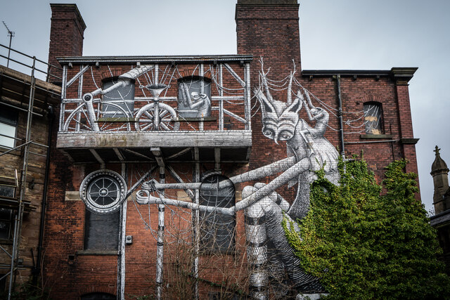
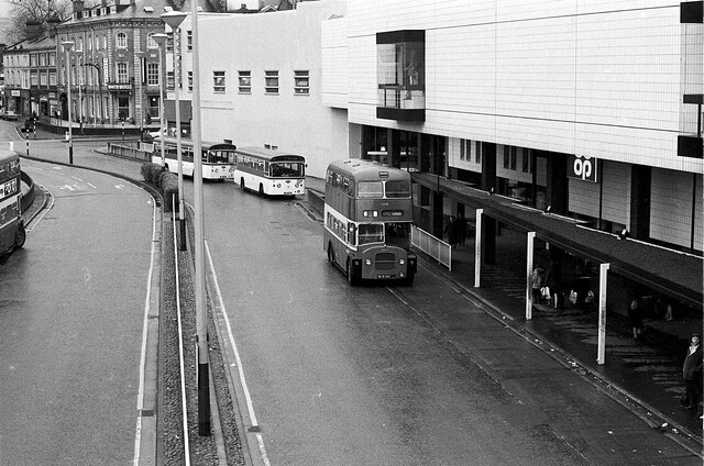
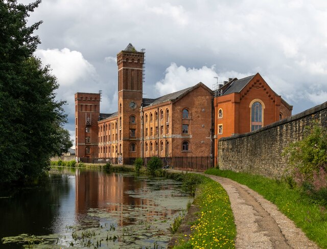
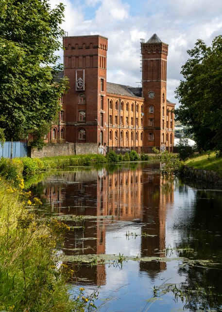
Grimshaw Park Images
Images are sourced within 2km of 53.737691/-2.4760806 or Grid Reference SD6826. Thanks to Geograph Open Source API. All images are credited.

Grimshaw Park is located at Grid Ref: SD6826 (Lat: 53.737691, Lng: -2.4760806)
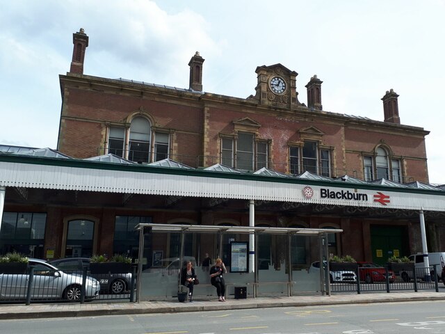
Unitary Authority: Blackburn with Darwen
Police Authority: Lancashire
What 3 Words
///carbon.spaces.media. Near Blackburn, Lancashire
Nearby Locations
Related Wikis
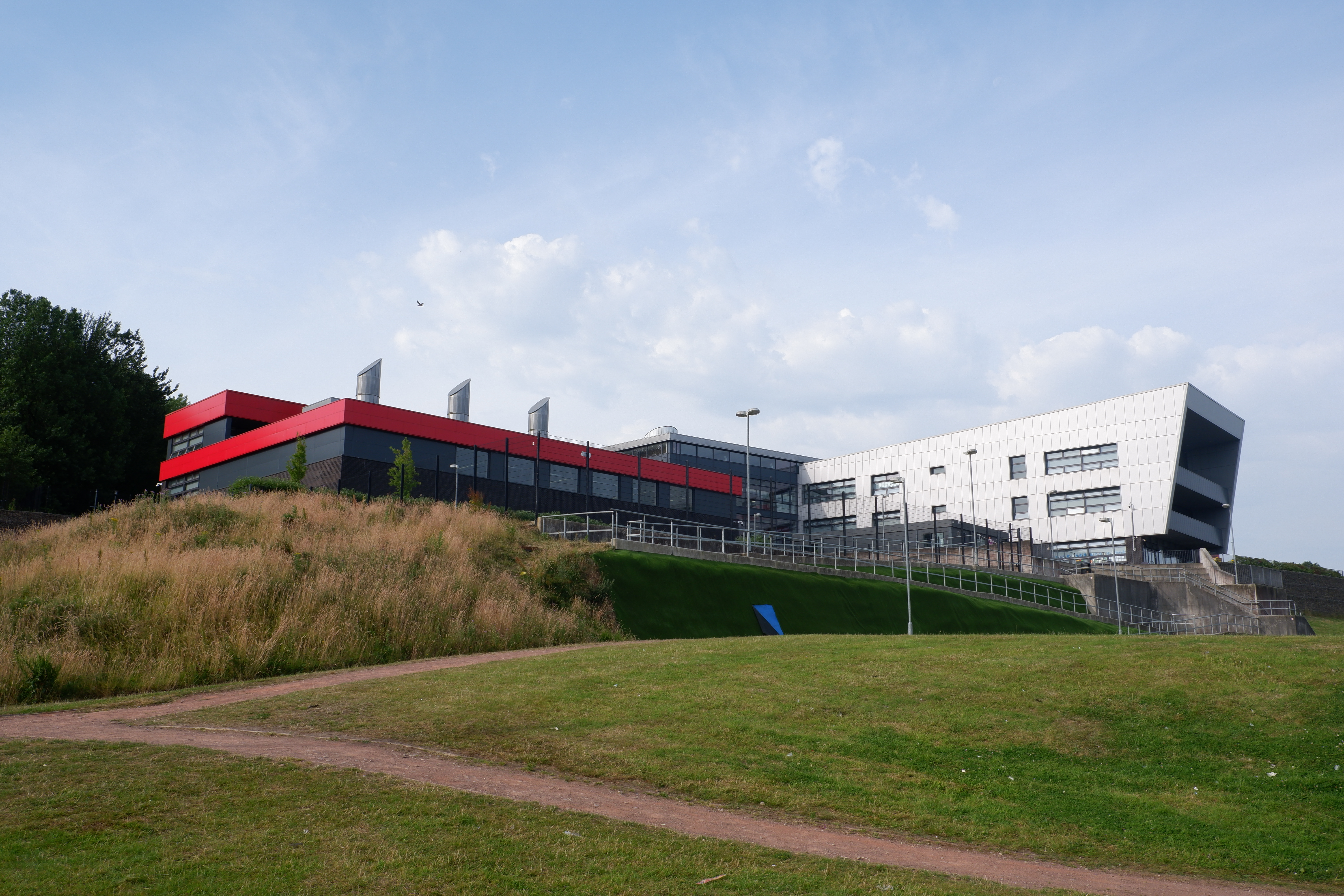
Blackburn Central High School
Blackburn Central High School is a co-educational secondary school located in Blackburn, Lancashire. The school was formed from the merger of Beardwood...

Blackburn Royal Infirmary
The Blackburn Royal Infirmary was an acute District General Hospital in Blackburn, Lancashire. It was managed by East Lancashire Hospitals NHS Trust....

Canterbury Street drill hall, Blackburn
The Canterbury Street drill hall is a military installation in Blackburn, Lancashire. It is a Grade II listed building. == History == The building was...

Royal Blackburn Teaching Hospital
The Royal Blackburn Teaching Hospital is an acute District General Hospital in Blackburn, Lancashire operated by the East Lancashire Hospitals NHS Trust...
Nearby Amenities
Located within 500m of 53.737691,-2.4760806Have you been to Grimshaw Park?
Leave your review of Grimshaw Park below (or comments, questions and feedback).