Longshaw
Settlement in Lancashire
England
Longshaw
Longshaw is a small village located in the county of Lancashire, England. Situated in the North West of the country, it is part of the larger civil parish of Quernmore. With a population of around 500 residents, Longshaw is a close-knit community that offers a peaceful and rural environment.
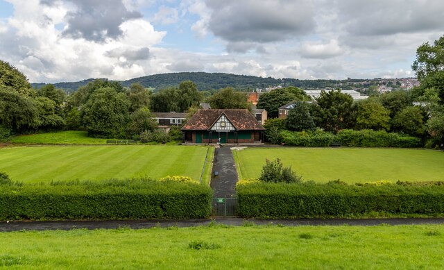
The village is surrounded by picturesque countryside, characterized by rolling hills, lush green fields, and charming stone-built cottages. It enjoys a tranquil setting, making it a popular destination for those seeking a quiet retreat from the hustle and bustle of city life.
Longshaw boasts a rich history, with evidence of human habitation in the area dating back to Roman times. The village's name derives from the Old English term "lang sceaga," meaning "long wood," highlighting its historical association with dense forests.
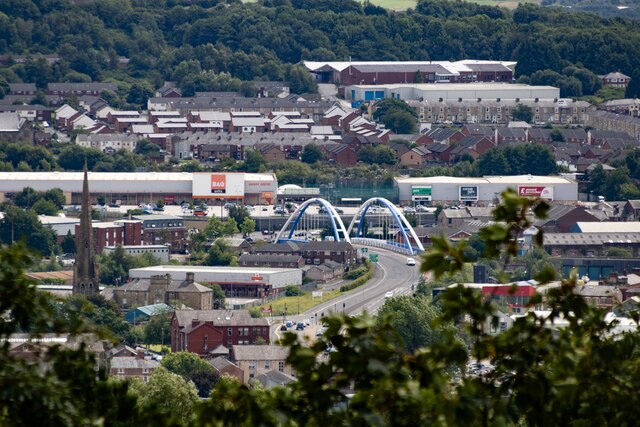
Although primarily residential, Longshaw is conveniently located near the city of Lancaster, which provides residents with access to a wider range of amenities and services. The village is well-connected by road, with the A683 passing close by, linking it to surrounding areas.
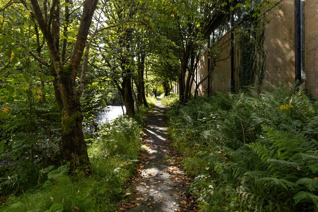
Outdoor enthusiasts are drawn to Longshaw due to its proximity to the Forest of Bowland, an Area of Outstanding Natural Beauty. The region offers numerous opportunities for walking, hiking, and exploring the stunning countryside. Additionally, the nearby Wyre Forest provides ample opportunities for wildlife spotting and nature photography.
In summary, Longshaw is a charming and idyllic village in Lancashire, with a rich history, stunning natural surroundings, and a close-knit community. It is an ideal place for those seeking a peaceful and picturesque setting to call home.
If you have any feedback on the listing, please let us know in the comments section below.
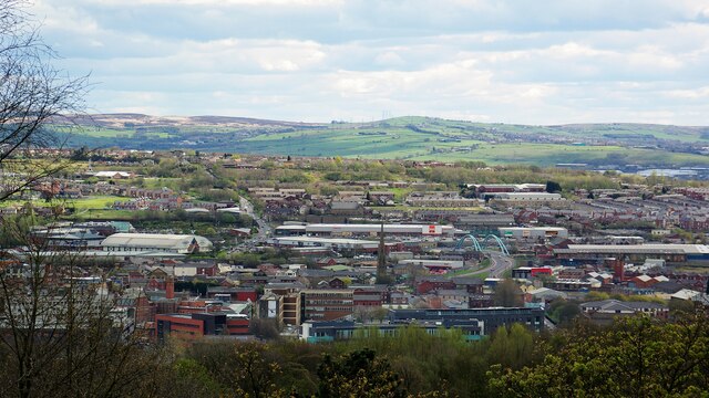
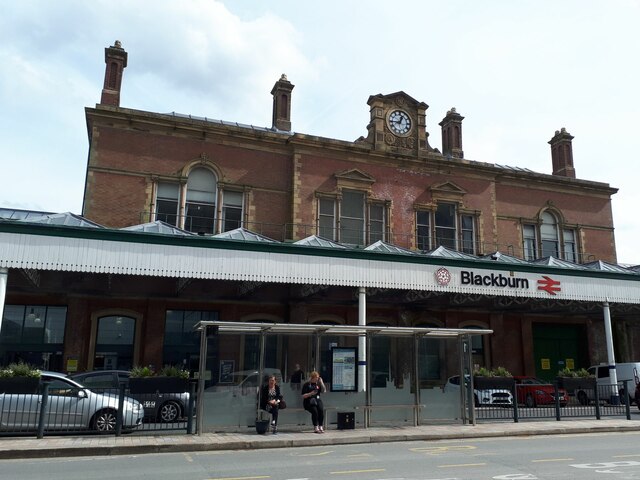
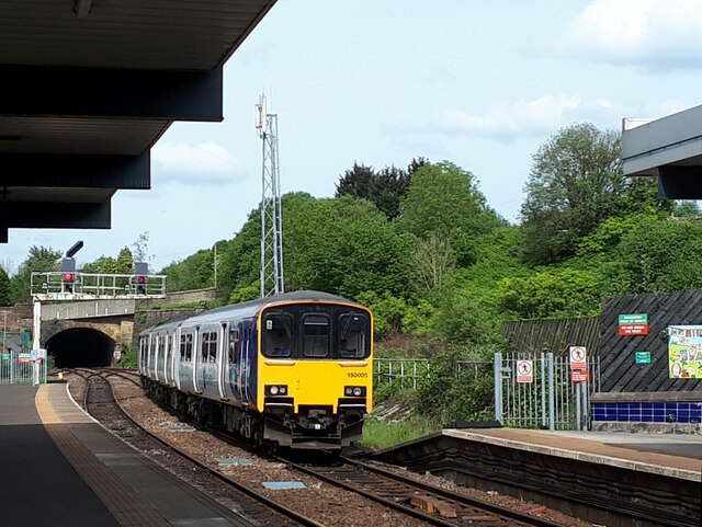
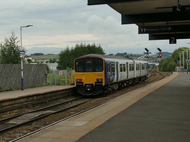
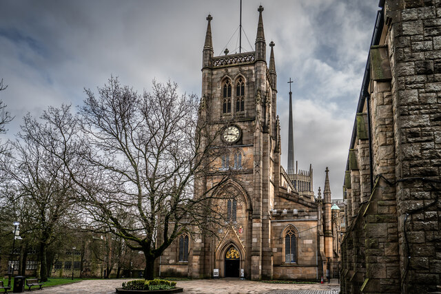
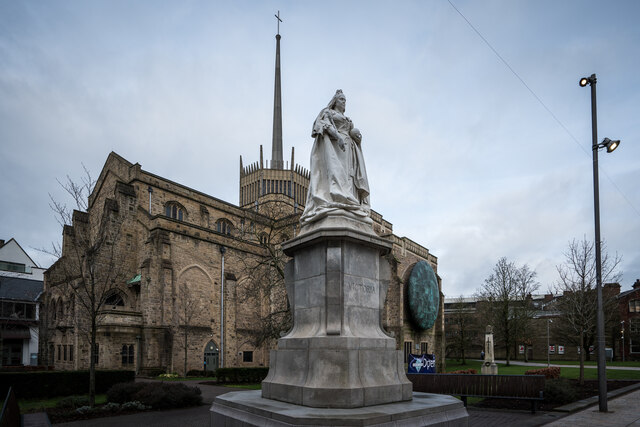
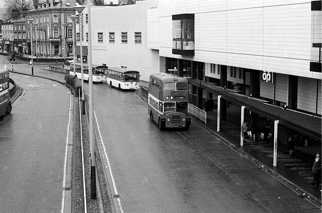
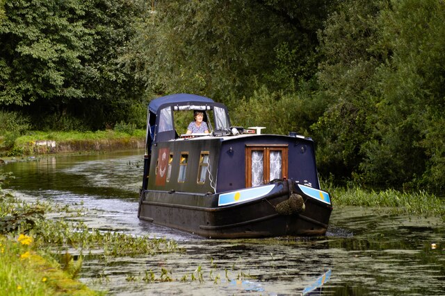
Longshaw Images
Images are sourced within 2km of 53.732018/-2.4832772 or Grid Reference SD6826. Thanks to Geograph Open Source API. All images are credited.

Longshaw is located at Grid Ref: SD6826 (Lat: 53.732018, Lng: -2.4832772)
Unitary Authority: Blackburn with Darwen
Police Authority: Lancashire
What 3 Words
///settle.props.indeed. Near Blackburn, Lancashire
Nearby Locations
Related Wikis

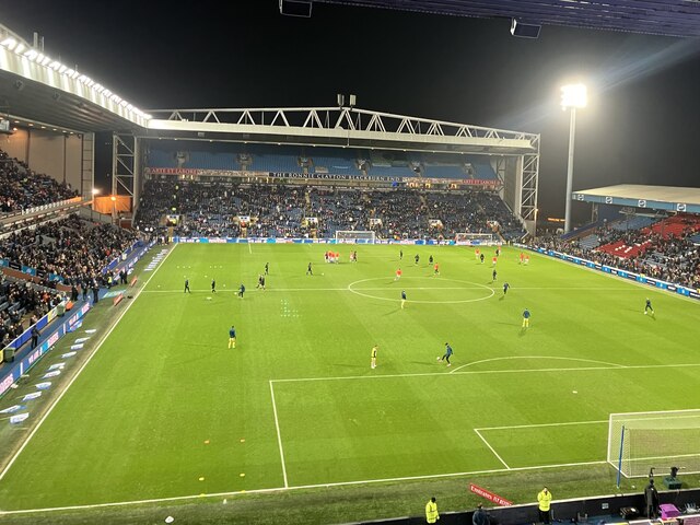
Ewood Park
Ewood Park () is a football stadium in Blackburn, Lancashire, England, and the home of Blackburn Rovers F.C., founding members of the Football League and...

Blackburn Rovers F.C.
Blackburn Rovers Football Club is a professional football club, based in Blackburn, Lancashire, England, which competes in the EFL Championship, the second...

Blackburn Royal Infirmary
The Blackburn Royal Infirmary was an acute District General Hospital in Blackburn, Lancashire. It was managed by East Lancashire Hospitals NHS Trust....
Radio Rovers
Radio Rovers was the official radio station of the English Championship football side Blackburn Rovers FC. It was launched at Ewood Park on 30 October...
Nearby Amenities
Located within 500m of 53.732018,-2.4832772Have you been to Longshaw?
Leave your review of Longshaw below (or comments, questions and feedback).