Grimston
Settlement in Yorkshire Selby
England
Grimston
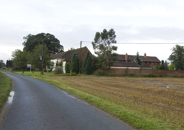
Grimston is a charming village located in the district of Yorkshire, England. Nestled amidst picturesque countryside, this rural gem offers a tranquil and idyllic setting for residents and visitors alike. Situated approximately 10 miles east of the historic city of York, Grimston boasts a rich history dating back to the Roman era.
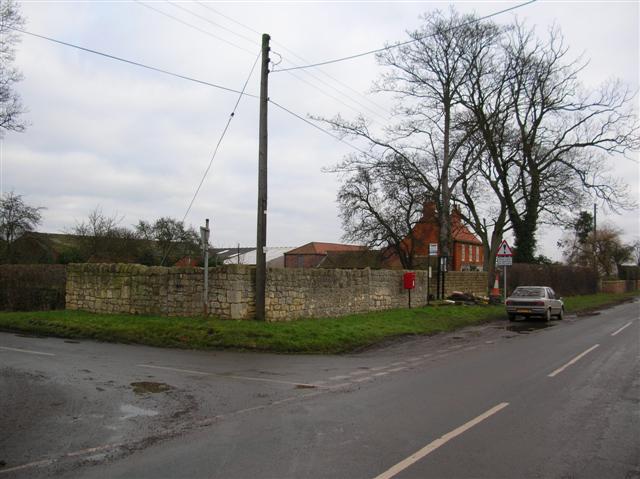
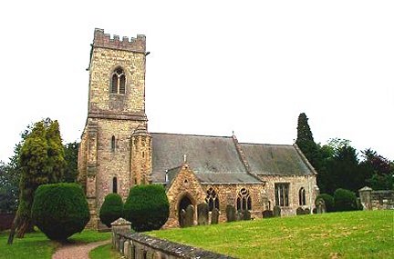
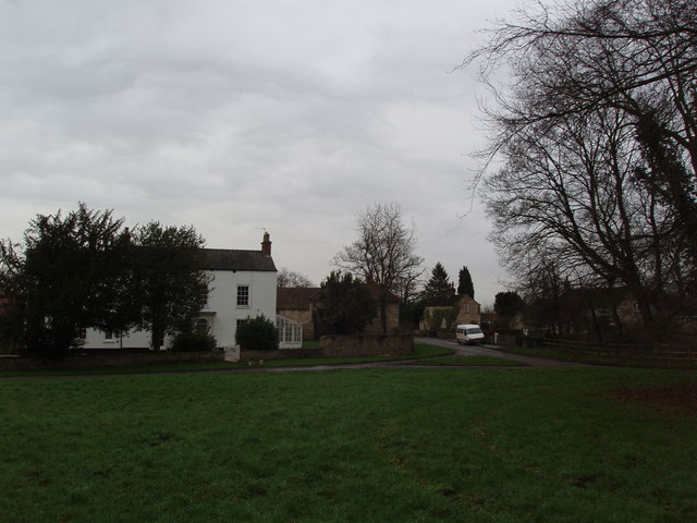
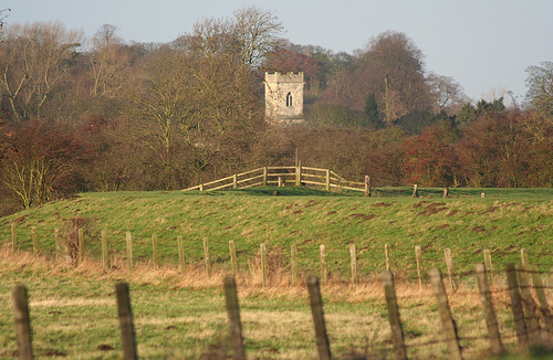
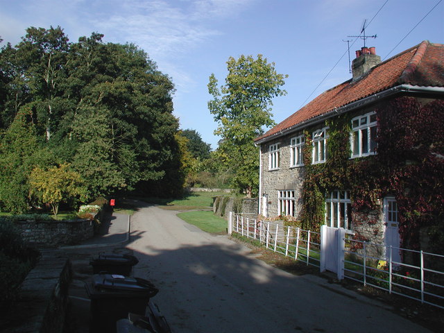
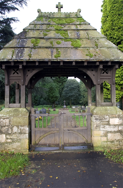
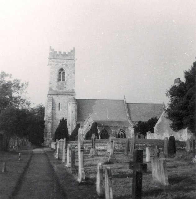
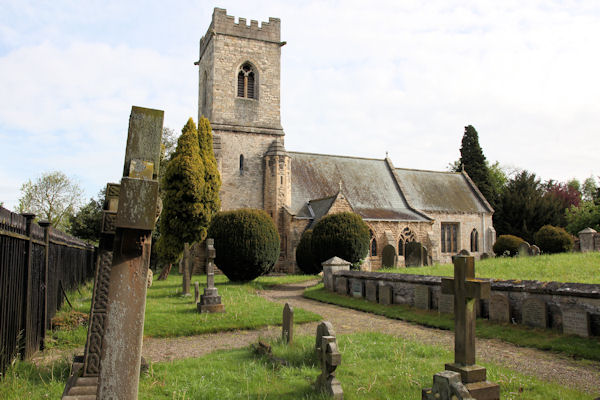
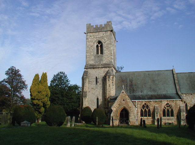
The village is renowned for its quaint, stone-built houses and traditional architecture, which add to its timeless appeal. The local community takes great pride in preserving the village's heritage, evident in the well-preserved buildings and well-tended gardens that line its streets. The centerpiece of Grimston is the stunning St. Nicholas Church, a beautiful example of medieval architecture that dates back to the 12th century.
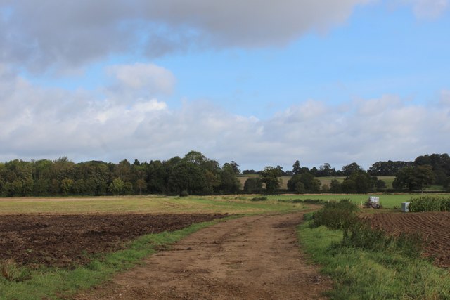
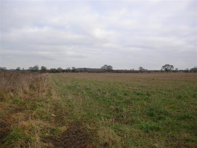
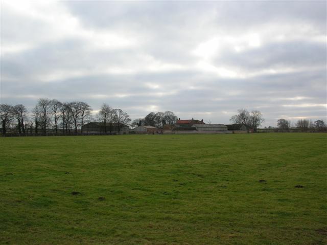
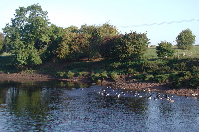
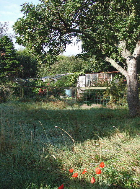
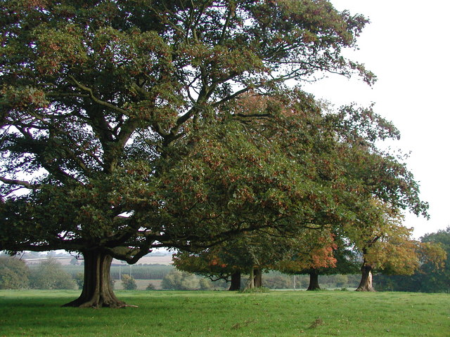
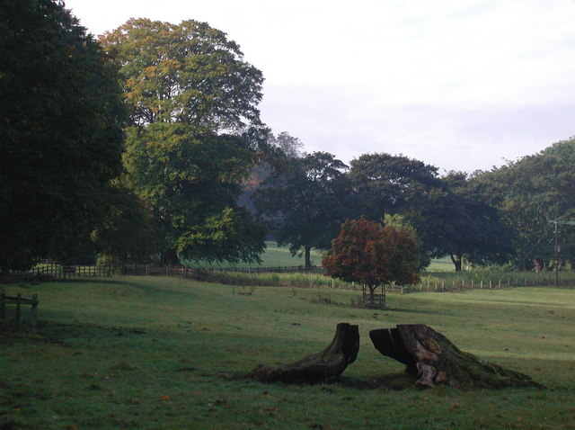
Grimston's natural beauty is a major draw for outdoor enthusiasts. Surrounding the village are rolling hills, verdant meadows, and gentle streams, creating a haven for walkers, cyclists, and nature lovers. The nearby Howardian Hills Area of Outstanding Natural Beauty is a popular destination for those seeking breathtaking views and a chance to explore the region's diverse flora and fauna.
Despite its rural setting, Grimston benefits from excellent transport links. The A64 road provides easy access to York and other nearby towns, while the local train station offers regular services to major cities like Leeds and Manchester. Local amenities include a well-stocked village shop, a charming pub serving delicious homemade food, and a primary school.
In summary, Grimston is a delightful village that seamlessly blends its rich history with natural beauty. With its welcoming community and convenient location, it is a place that offers a high quality of life for its residents and an enchanting experience for visitors.
If you have any feedback on the listing, please let us know in the comments section below.
Grimston Images
Images are sourced within 2km of 53.865055/-1.243912 or Grid Reference SE4941. Thanks to Geograph Open Source API. All images are credited.

Grimston is located at Grid Ref: SE4941 (Lat: 53.865055, Lng: -1.243912)
Division: West Riding
Administrative County: North Yorkshire
District: Selby
Police Authority: North Yorkshire
What 3 Words
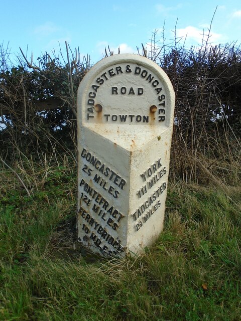
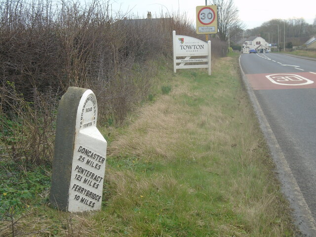
///cheered.unsigned.gadget. Near Tadcaster, North Yorkshire
Nearby Locations
Related Wikis
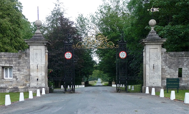
Grimston Park
Grimston Park is a grade II* listed Georgian country house in Grimston, North Yorkshire, England, some 1.7 miles (3 km) south of Tadcaster. Since being...
Grimston, Selby
Grimston is a civil parish about 8 miles from York, in North Yorkshire, England. In 2001 the parish had a population of 59. The parish touches Bolton Percy...
St John the Baptist's Church, Kirkby Wharfe
St John the Baptist's Church is the parish church of Kirkby Wharfe, a village south-west of Tadcaster, in North Yorkshire, in England. The church was first...
Kirkby Wharfe
Kirkby Wharfe is a village 1.9 miles (3 km) south of Tadcaster, in North Yorkshire, England. The village is in the civil parish of Kirkby Wharfe with North...
Nearby Amenities
Located within 500m of 53.865055,-1.243912Have you been to Grimston?
Leave your review of Grimston below (or comments, questions and feedback).