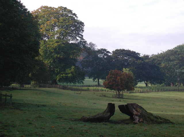
Tasker Wood

Wood, Forest in Yorkshire Selby

England

Tasker Wood

Oxton Slice Lane is to the left.
Oxton Credit: DS Pugh

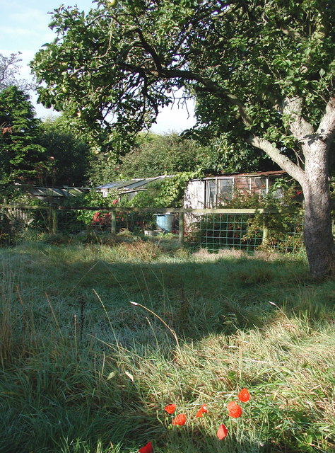
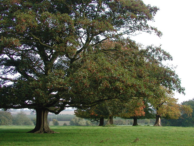
Tasker Wood is a picturesque forest located in the county of Yorkshire, England. Stretching across an area of approximately 500 acres, this woodland is a haven for nature enthusiasts and outdoor lovers. With its dense canopy of trees and diverse flora and fauna, Tasker Wood offers a tranquil and immersive experience for visitors.

The forest is predominantly composed of deciduous trees, including oak, beech, and ash, which create a stunning display of colors during the autumn months. The woodland floor is adorned with a variety of wildflowers, such as bluebells and primroses, further enhancing the natural beauty of the area.

Tasker Wood is home to a wide range of wildlife, making it an ideal spot for birdwatchers and animal enthusiasts. Visitors may spot species such as red deer, foxes, badgers, and a variety of bird species, including woodpeckers and owls. The forest also hosts a diverse range of insects and butterflies, adding to its ecological significance.

The wood offers several well-maintained walking trails and footpaths, allowing visitors to explore and appreciate its natural splendor. One of the most popular routes is the circular trail, which provides stunning views of the surrounding countryside and offers opportunities to see the forest from different angles.

Tasker Wood is easily accessible by both car and public transportation, with ample parking and nearby bus stops. The forest also features picnic areas and facilities, making it an excellent destination for a day trip or a family outing.

Overall, Tasker Wood in Yorkshire is a captivating woodland that enthralls visitors with its enchanting beauty and abundant wildlife, providing a peaceful escape from the hustle and bustle of everyday life.

If you have any feedback on the listing, please let us know in the comments section below.
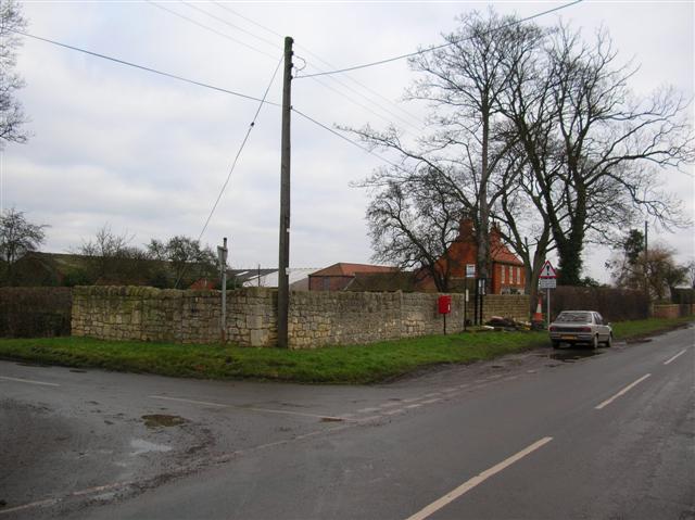
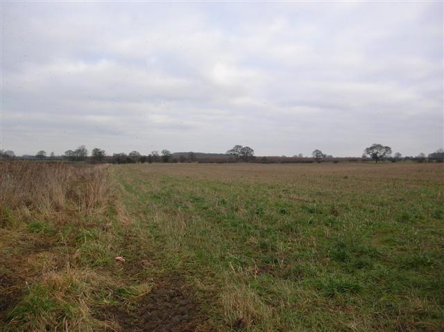
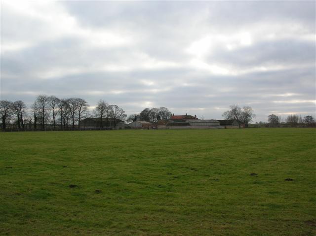
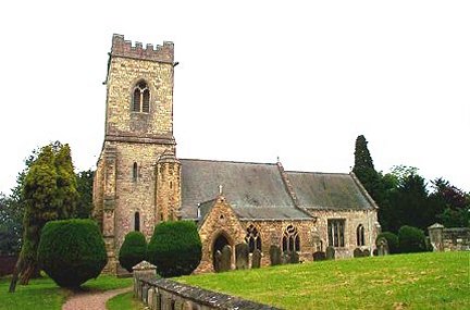
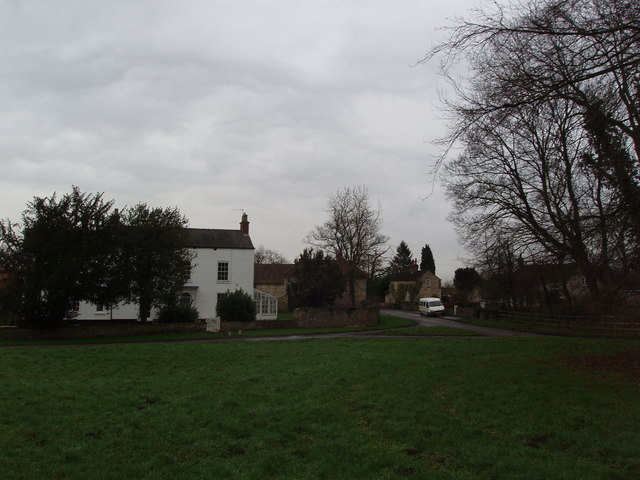
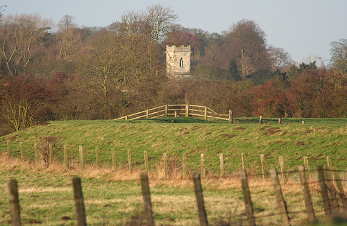
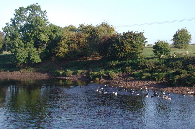
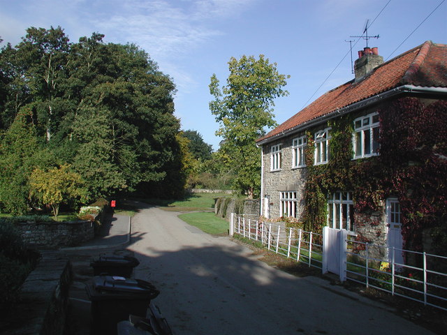
Tasker Wood Images

Images are sourced within 2km of 53.869137/-1.2454809 or Grid Reference SE4941. Thanks to Geograph Open Source API. All images are credited.

Oxton Slice Lane is to the left.
Oxton
Slice Lane is to the left.
Jorvik Way Footpath heading towards York from Oxton.
Jorvik Way
Footpath heading towards York from Oxton.
Pallathorpe Farm Some of the fields of Pallathorpe Farm taken from partway up the drive on a cold, wet January afternoon.
Pallathorpe Farm
Some of the fields of Pallathorpe Farm taken from partway up the drive on a cold, wet January afternoon.
Hornington Manor Between Oxton and Bolton Percy.
Hornington Manor
Between Oxton and Bolton Percy.
Kirkby Wharfe, St John The Baptist Church
Village of Kirkby Wharfe Kirkby Wharfe is a very small village on the edge of the Grimston Park Estate, near Tadcaster, North Yorkshire.  This view is across a green looking just South of East to the principal village buildings.
Village of Kirkby Wharfe
Kirkby Wharfe is a very small village on the edge of the Grimston Park Estate, near Tadcaster, North Yorkshire. This view is across a green looking just South of East to the principal village buildings.
Kirkby Wharfe Church View after passing under the main Leeds-York railway bridge, crossing the River Wharfe. Taken with 300mm telephoto lens.
Kirkby Wharfe Church
View after passing under the main Leeds-York railway bridge, crossing the River Wharfe. Taken with 300mm telephoto lens.
The River Wharfe Canada geese on the river near Kirkby Wharfe, on the parish boundary between  Bolton Percy and Kirkby Wharfe with North Milford. The clump of trees on the opposite bank is shown on the O/S 1:25000 scale map.
The River Wharfe
Canada geese on the river near Kirkby Wharfe, on the parish boundary between Bolton Percy and Kirkby Wharfe with North Milford. The clump of trees on the opposite bank is shown on the O/S 1:25000 scale map.
Kirkby Wharfe Looking west-northwest along the main village street in the picturesque hamlet of Kirkby Wharfe, with Plum Tree Cottage and Lilac Cottage on the right.
Kirkby Wharfe
Looking west-northwest along the main village street in the picturesque hamlet of Kirkby Wharfe, with Plum Tree Cottage and Lilac Cottage on the right.
Kirkby Wharfe Back gardens with fruit trees and greenhouses behind Jubilee Cottages in the picturesque hamlet of Kirkby Wharfe.
Kirkby Wharfe
Back gardens with fruit trees and greenhouses behind Jubilee Cottages in the picturesque hamlet of Kirkby Wharfe.
St John's Church, Kirkby Wharfe The Parish Church of St. John the Baptist in the hamlet of Kirkby Wharfe, early Norman in style with a tower added later. Looking north-northwest from the corner of Church House.
St John's Church, Kirkby Wharfe
The Parish Church of St. John the Baptist in the hamlet of Kirkby Wharfe, early Norman in style with a tower added later. Looking north-northwest from the corner of Church House.
Grimston Park Private parkland on the parish boundary between Grimston and Kirkby Wharfe with North Milford. Grimston Park is also the name of the 19th century mansion at the heart of the estate, built in 1839 by Decimus Burton for John Cradock, Lord Howden who apparently had the house remodelled only a year later for his wife, a Russian princess and cousin of the Tsar. In 1849 the estate was bought by Albert Denison (born Albert Conyngham in 1805) when he inherited an immense fortune from his maternal uncle, William Joseph Denison. Albert Denison became Baron Londesborough in 1850 and died in London in 1860. The estate was sold to the Fielden family in 1873 and now includes working farms, rented cottages, a plant nursery and a number of offices.  Part of the mansion house has been converted into smaller, privately owned homes.
Grimston Park
Private parkland on the parish boundary between Grimston and Kirkby Wharfe with North Milford. Grimston Park is also the name of the 19th century mansion at the heart of the estate, built in 1839 by Decimus Burton for John Cradock, Lord Howden who apparently had the house remodelled only a year later for his wife, a Russian princess and cousin of the Tsar. In 1849 the estate was bought by Albert Denison (born Albert Conyngham in 1805) when he inherited an immense fortune from his maternal uncle, William Joseph Denison. Albert Denison became Baron Londesborough in 1850 and died in London in 1860. The estate was sold to the Fielden family in 1873 and now includes working farms, rented cottages, a plant nursery and a number of offices. Part of the mansion house has been converted into smaller, privately owned homes.
Kirkby Wharfe Cemetery Gates St John The Baptist Church Cemetery. An inscription in the roof indicates that the entrance was constructed in June 1918.
Kirkby Wharfe Cemetery Gates
St John The Baptist Church Cemetery. An inscription in the roof indicates that the entrance was constructed in June 1918.
Kirkby Wharfe Church The Church of St John the Baptist at Kirkby Wharfe.
Kirkby Wharfe Church
The Church of St John the Baptist at Kirkby Wharfe.
Kirkby Wharfe The tiny village of Kirkby Wharfe is at the end of a dead end road close to the River Wharfe.
Kirkby Wharfe
The tiny village of Kirkby Wharfe is at the end of a dead end road close to the River Wharfe.
Church of St John, Kirkby Wharfe Snowdrops carpet the churchyard in this late winter view. The church looks to be Victorian, but has features dating back to the 12th century.
Church of St John, Kirkby Wharfe
Snowdrops carpet the churchyard in this late winter view. The church looks to be Victorian, but has features dating back to the 12th century.
Lodge, Grimston Park Taken from within the Church grounds, through the railings.
Lodge, Grimston Park
Taken from within the Church grounds, through the railings.
Kirkby Wharfe, St John The Baptist Church Looking north. The main entrance to the churchyard is along the path at the bottom right of the photograph.
Kirkby Wharfe, St John The Baptist Church
Looking north. The main entrance to the churchyard is along the path at the bottom right of the photograph.
Show me another place!

Tasker Wood is located at Grid Ref: SE4941 (Lat: 53.869137, Lng: -1.2454809)

Division: West Riding

Administrative County: North Yorkshire

District: Selby

Police Authority: North Yorkshire

What 3 Words

///spruced.irrigated.lame. Near Tadcaster, North Yorkshire

Related Wikis

Grimston, Selby

Grimston is a civil parish about 8 miles from York, in North Yorkshire, England. In 2001 the parish had a population of 59. The parish touches Bolton Percy...
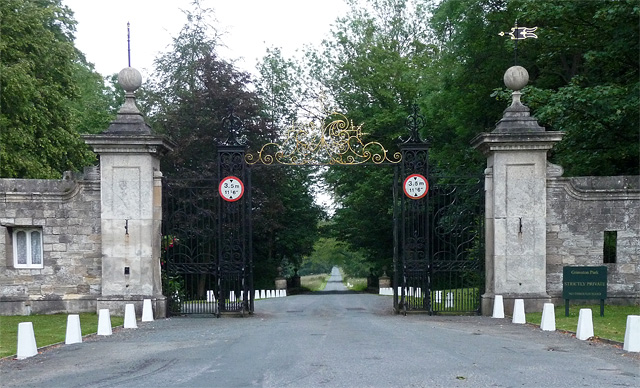
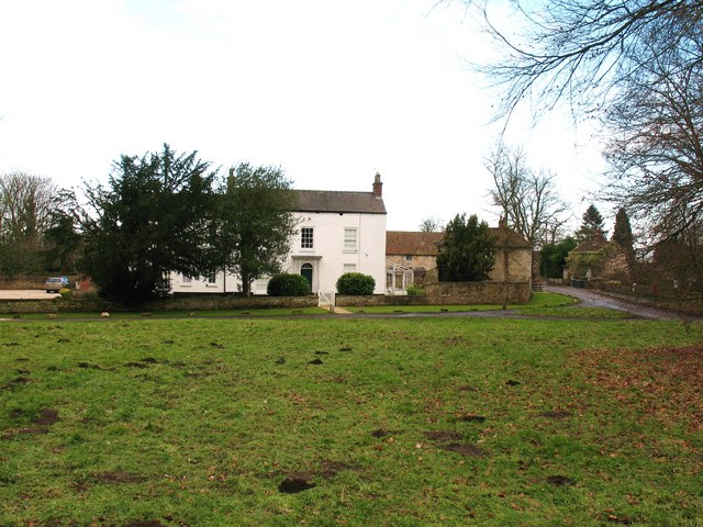
Grimston Park

Grimston Park is a grade II* listed Georgian country house in Grimston, North Yorkshire, England, some 1.7 miles (3 km) south of Tadcaster. Since being...
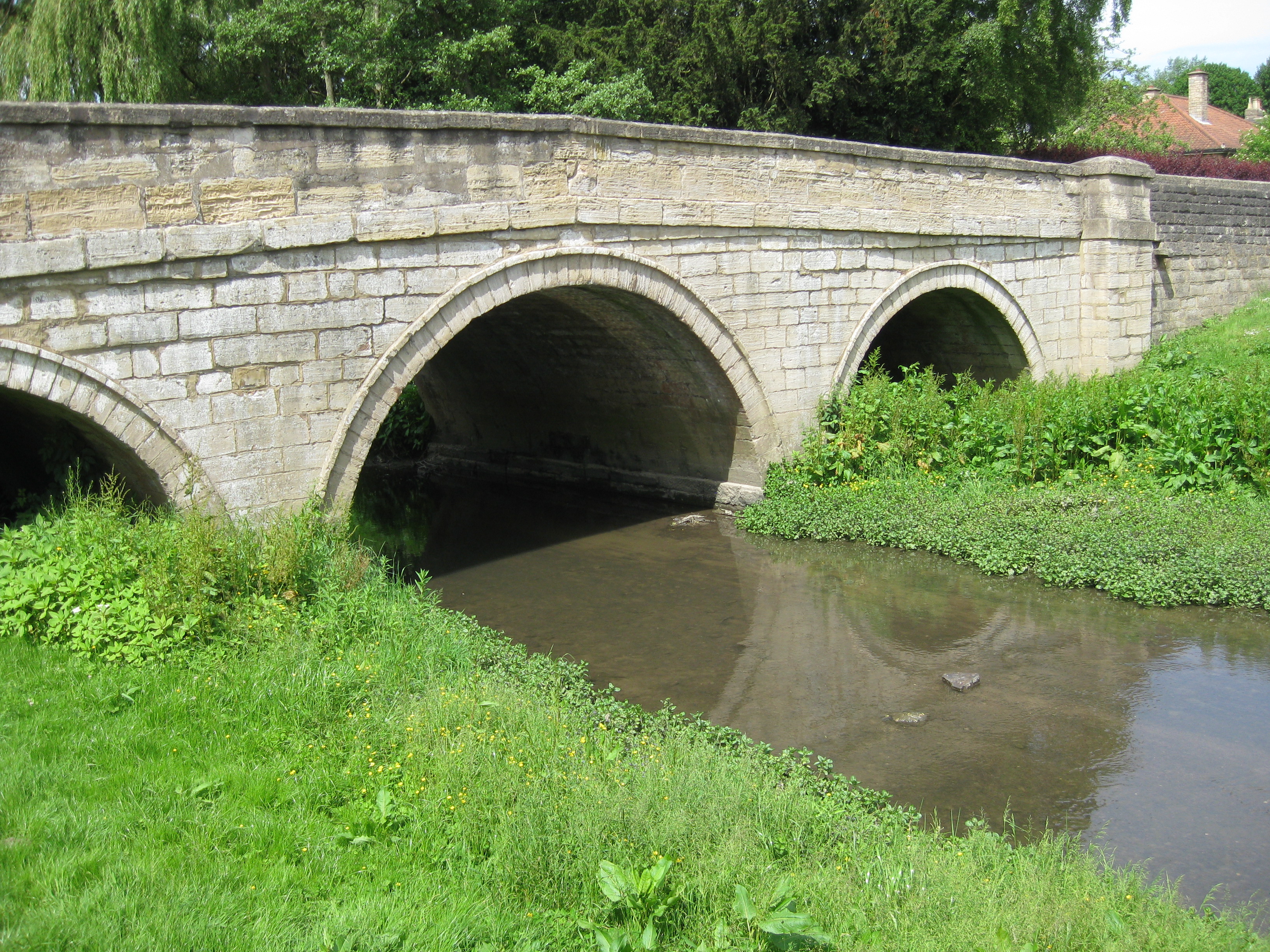
Cock Beck

Cock Beck is a stream in the outlying areas of East Leeds, West Yorkshire, England, which runs from its source due to a runoff north-west of Whinmoor,...

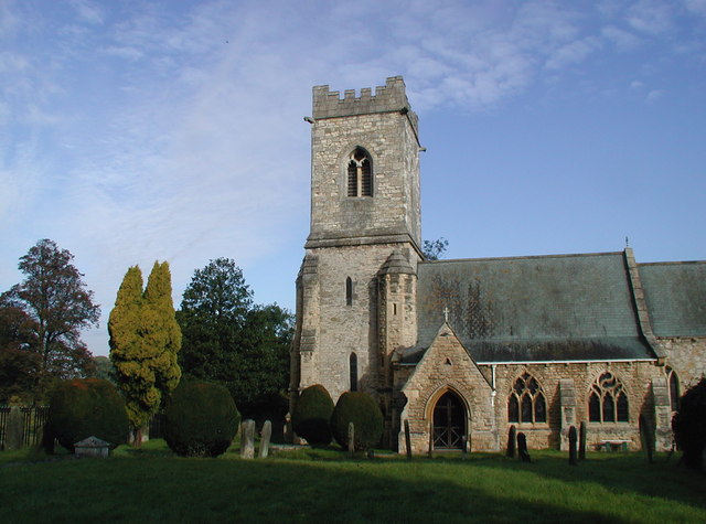
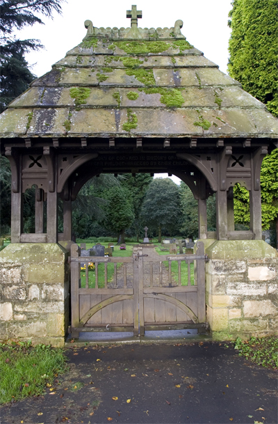
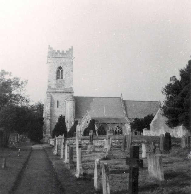
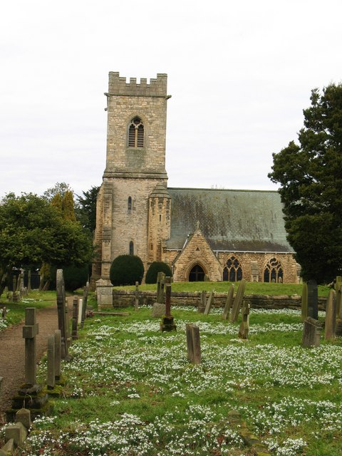
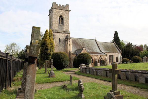
St John the Baptist's Church, Kirkby Wharfe

St John the Baptist's Church is the parish church of Kirkby Wharfe, a village south-west of Tadcaster, in North Yorkshire, in England. The church was first...

Nearby Amenities

Located within 500m of 53.869137,-1.2454809
Power: pole
Source: Bing
Lat/Long: 53.8734026/-1.2454571
Power: pole
Source: Bing
Lat/Long: 53.8732539/-1.2455966
Power: pole
Source: Bing
Lat/Long: 53.8698293/-1.2387944
Material: wood
Power: pole
Source: Bing
Lat/Long: 53.8657371/-1.2466342
Power: pole
Source: Bing
Lat/Long: 53.8699555/-1.2386184
Material: wood
Power: pole
Source: Bing
Lat/Long: 53.8659886/-1.2452984
Power: pole
Source: Bing
Lat/Long: 53.8728087/-1.244687
Power: pole
Source: Bing
Lat/Long: 53.8715293/-1.242155
Power: pole
Source: Bing
Lat/Long: 53.8694149/-1.2379683
Power: pole
Source: Bing
Lat/Long: 53.8661246/-1.2415407
Power: pole
Source: Bing
Lat/Long: 53.8720678/-1.242812
Power: pole
Source: Bing
Lat/Long: 53.8702436/-1.2396138
Power: pole
Source: Bing
Lat/Long: 53.8711015/-1.2412994
Power: pole
Source: Bing
Lat/Long: 53.8706824/-1.2404719
Power: pole
Source: Bing
Lat/Long: 53.8716187/-1.2419108
Power: pole
Source: Bing
Lat/Long: 53.8729344/-1.2444965
Power: pole
Source: Bing
Lat/Long: 53.8712265/-1.241133
Power: pole
Source: Bing
Lat/Long: 53.8661894/-1.2397815
Power: pole
Source: Bing
Lat/Long: 53.8725043/-1.2436596
Material: wood
Power: pole
Source: Bing
Lat/Long: 53.8660376/-1.2440137
Power: pole
Source: Bing
Lat/Long: 53.8719468/-1.2429812
Power: pole
Source: Bing
Lat/Long: 53.8703599/-1.2394274
Power: pole
Source: Bing
Lat/Long: 53.8723864/-1.2438529
Material: wood
Power: pole
Source: Bing
Lat/Long: 53.8660756/-1.2429166
Power: pole
Source: Bing
Lat/Long: 53.8707869/-1.2402693
Material: wood
Power: pole
Source: Bing
Lat/Long: 53.8654634/-1.2481148
The data included in this document is from www.openstreetmap.org. The data is made available under ODbL.

Have you been to Tasker Wood?

Leave your review of Tasker Wood below (or comments, questions and feedback).