Bottom Copse

Wood, Forest in Hampshire Eastleigh

England

Bottom Copse

Manor Farm: field
Manor Farm: field Credit: Basher Eyre

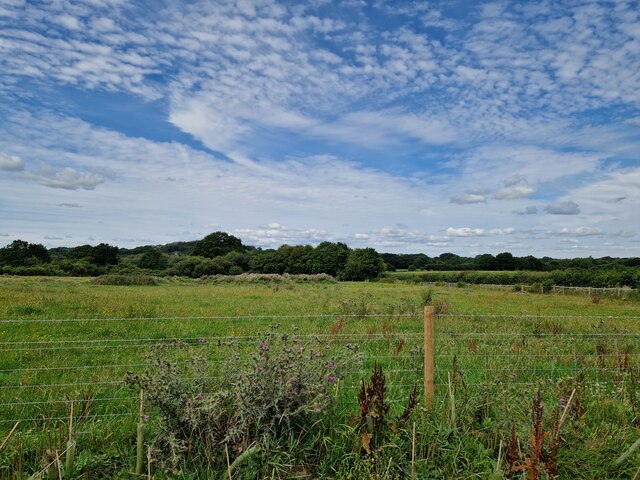
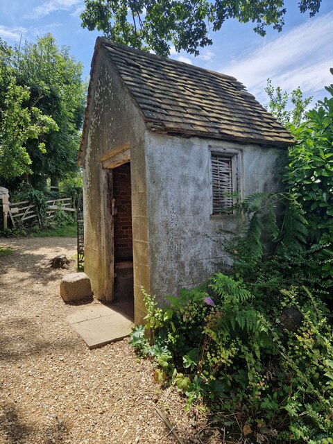
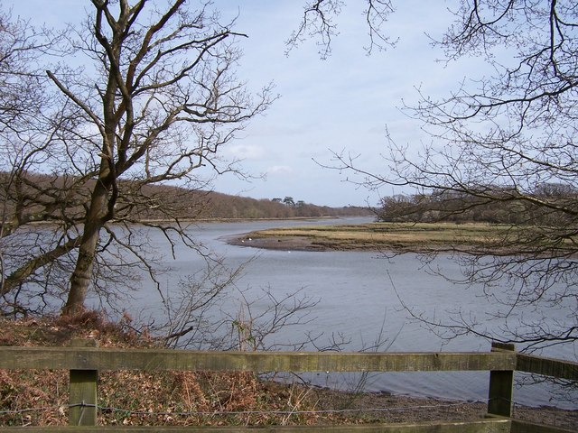
Bottom Copse is a picturesque woodland located in Hampshire, England. Situated in the south-eastern part of the country, it covers an area of approximately 50 acres. This enchanting forest is renowned for its diverse range of flora and fauna, making it a haven for nature enthusiasts and wildlife lovers alike.

The copse is predominantly composed of mature deciduous trees, including oak, beech, and birch, which create a dense canopy that provides shade and shelter throughout the year. The forest floor is blanketed with a lush carpet of ferns, bluebells, and wildflowers, adding a vibrant burst of color to the surroundings.

The woodland is crisscrossed by a network of well-maintained footpaths and trails, allowing visitors to explore its natural beauty at their own pace. These paths lead to hidden clearings and secluded spots, perfect for quiet picnics or contemplative moments amidst the tranquility of nature.

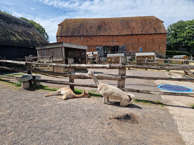
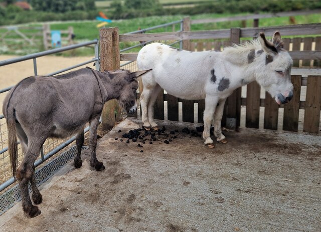
Bottom Copse is also home to a rich variety of wildlife. The forest is teeming with birdlife, with species such as woodpeckers, owls, and warblers making it their habitat. Additionally, deer, foxes, and squirrels can often be spotted darting through the undergrowth, adding an element of enchantment to any visit.

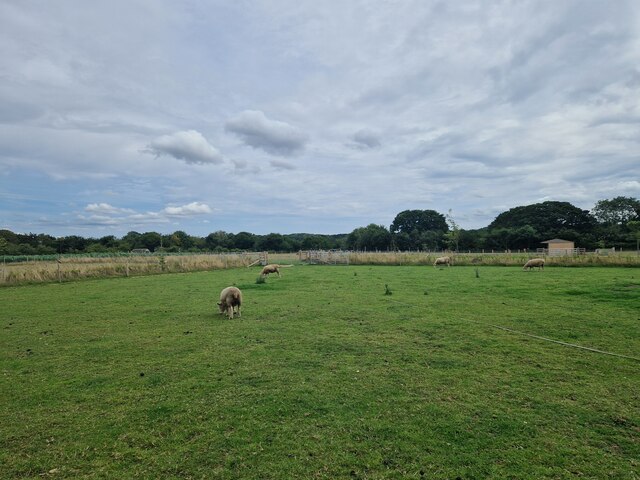
The copse is open to the public year-round, with no admission fee. It is a popular destination for families, hikers, and photographers seeking solace in the beauty of the natural world. Whether one is looking for a peaceful stroll, a chance to observe wildlife, or simply a break from the hustle and bustle of everyday life, Bottom Copse offers an idyllic setting to reconnect with nature.

If you have any feedback on the listing, please let us know in the comments section below.
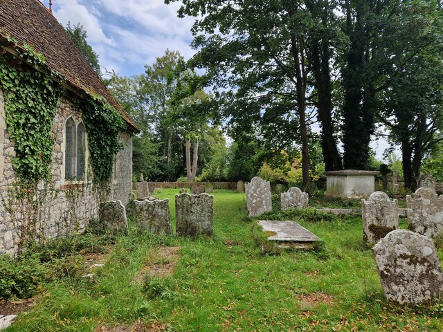
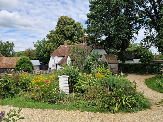
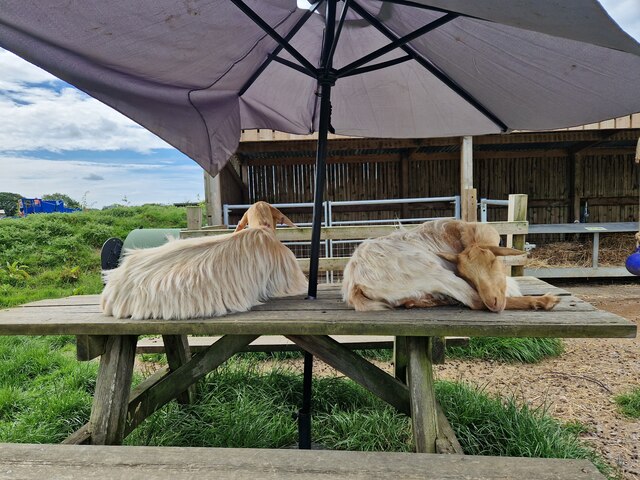
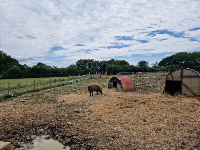
Bottom Copse Images

Images are sourced within 2km of 50.897202/-1.2944793 or Grid Reference SU4911. Thanks to Geograph Open Source API. All images are credited.

Manor Farm: field
Manor Farm: field
Manor Farm : meadow
Manor Farm : meadow
Manor Farm: parlour
Manor Farm: parlour
Manor Farm: farmyard
Manor Farm: graves by the church
Manor Farm: farmhouse
Manor Farm: snoozing goats
Manor Farm: Tamworth pig
Manor Farm: every pupil's favourite, the privy
Manor Farm: alpacas
Manor Farm: alpacas
Manor Farm: entrance
Manor Farm: sheep grazing
Manor Farm: David & Imogen
St Bartholomew, Botley: late July 2023
St Bartholomew, Botley: east end
St Bartholomew, Botley: ledger slab
St Bartholomew, Botley: funeral cart
WWII Hampshire - civil bombing decoy control bunker, Botley (1) -
Civil Bombing Decoy (C Series): DoB ID: e18781

Completely hidden in this patch of scrub on upland south of Botley is the control bunker for a combined 'QL' and 'SF' (Starfish) bombing decoy site. They would have provided both "leaky" lighting effects and controlled fires that simulated an urban area under attack, and was one of several such sites around Southampton that were designed to lure enemy bombers away from the city.

<a href="https://www.geograph.org.uk/photo/5145628">SU5111 : WWII Hampshire - civil bombing decoy control bunker, Botley (2)</a>
WWII Hampshire - civil bombing decoy control bunker, Botley (1)
- Civil Bombing Decoy (C Series): DoB ID: e18781 Completely hidden in this patch of scrub on upland south of Botley is the control bunker for a combined 'QL' and 'SF' (Starfish) bombing decoy site. They would have provided both "leaky" lighting effects and controlled fires that simulated an urban area under attack, and was one of several such sites around Southampton that were designed to lure enemy bombers away from the city. SU5111 : WWII Hampshire - civil bombing decoy control bunker, Botley (2)
Show me another place!

Bottom Copse is located at Grid Ref: SU4911 (Lat: 50.897202, Lng: -1.2944793)

Administrative County: Hampshire

District: Eastleigh

Police Authority: Hampshire

What 3 Words

///trucks.veal.apple. Near Hedge End, Hampshire

Related Wikis

HMS Cricket (shore establishment)

HMS Cricket was the name given to a Royal Navy shore establishment on the River Hamble from 1943 to 1946. This name was previously used by the Insect-class...

River Hamble Country Park

River Hamble Country Park is a 144.1-hectare (356-acre) Local Nature Reserve which runs along the west bank of the River Hamble between the villages of...

Grace Dieu (ship)

Grace Dieu was the flagship of King Henry V of England and one of the largest ships of her time. Launched in 1418, she sailed on only one voyage and was...

Upper Hamble Estuary and Woods

Upper Hamble Estuary and Woods is a 151.2-hectare (374-acre) biological Site of Special Scientific Interest east of Southampton in Hampshire. It is part...

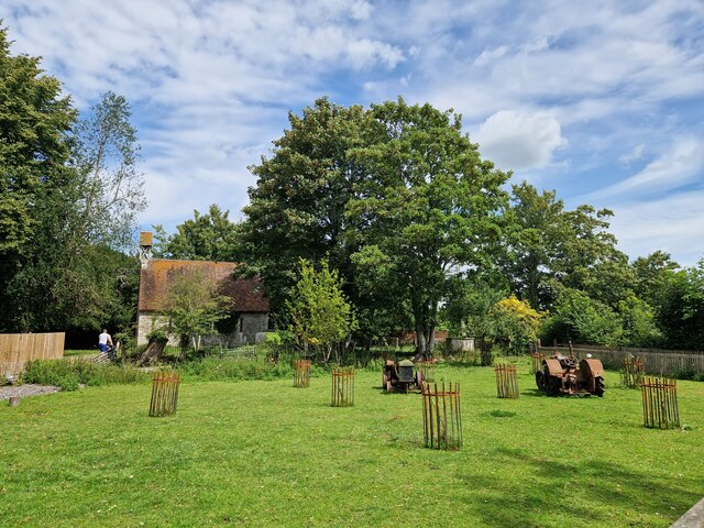
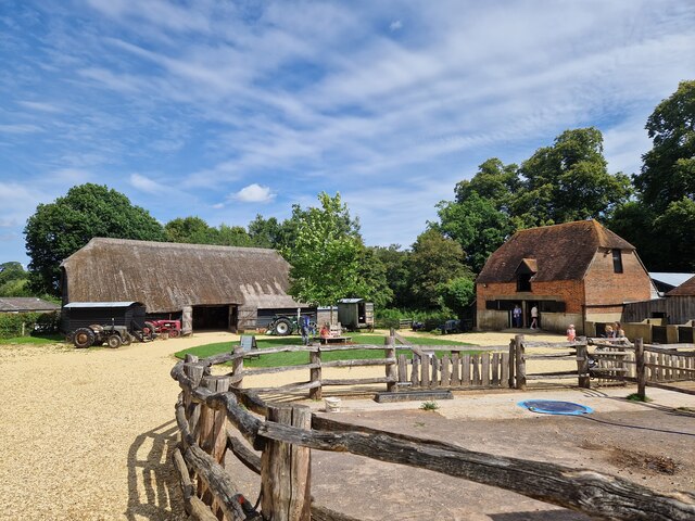
Bursledon Brickworks Museum

The Brickworks Museum, also known as Bursledon Brickworks, is a volunteer-run museum in Swanwick, Hampshire, England. It is purportedly the UK's sole surviving...

London Area Control Centre

The London Area Control Centre (LACC) is an air traffic control centre based at Swanwick near Fareham in Hampshire, southern England. It is operated by...

Lower Swanwick

Lower Swanwick is a village on the River Hamble in Hampshire, England. It is located within the borough of Fareham at the eastern end of Bursledon Bridge...
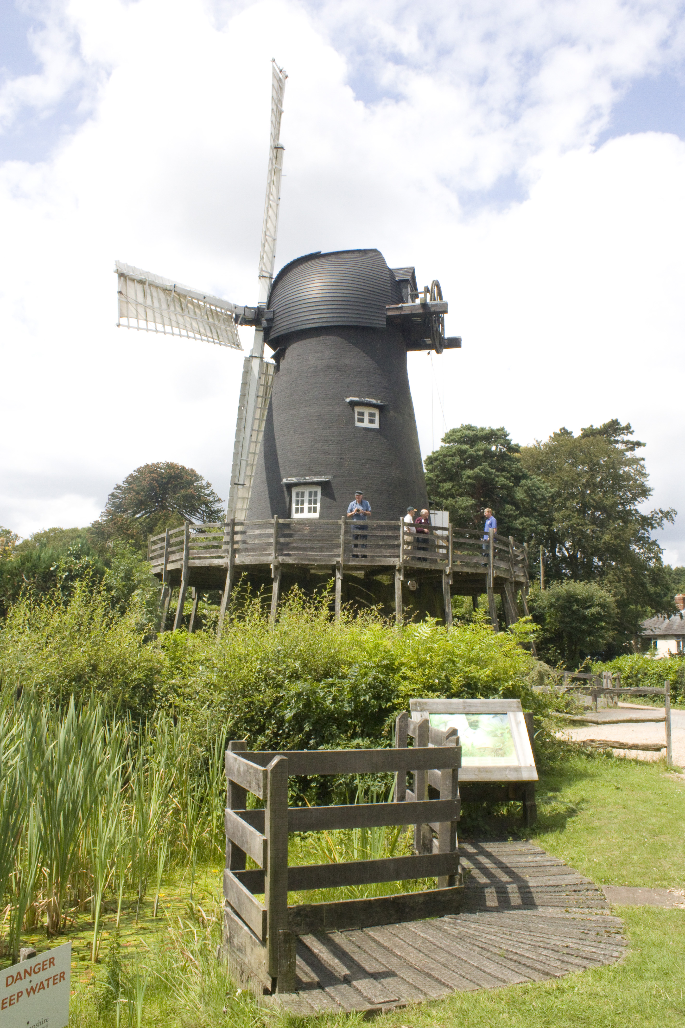
Bursledon Windmill

Bursledon Windmill is a Grade II* listed windmill in Bursledon, Hampshire, England which has been restored to working order. == Description == Bursledon...

Nearby Amenities

Located within 500m of 50.897202,-1.2944793
Access: no
Barrier: stile
Description: Public right of way
Foot: yes
Lat/Long: 50.8932475/-1.2954264
Source: PGS
Lat/Long: 50.895809/-1.2892331
Check Date: 2022-12-23
Source: Bing imagery
Traffic Calming: hump
Lat/Long: 50.8966894/-1.2952576
Check Date: 2022-12-23
Source: Bing imagery
Traffic Calming: hump
Lat/Long: 50.8986128/-1.2909551
Check Date: 2022-12-23
Source: Bing imagery
Traffic Calming: hump
Lat/Long: 50.8962811/-1.293858
Check Date: 2022-12-23
Source: Bing imagery
Traffic Calming: hump
Lat/Long: 50.8973552/-1.2958532
Check Date: 2022-12-23
Source: Bing imagery
Traffic Calming: hump
Lat/Long: 50.8976158/-1.2930744
Check Date: 2022-12-23
Source: Bing imagery
Traffic Calming: hump
Lat/Long: 50.8979407/-1.298092
Check Date: 2022-12-23
Source: Bing imagery
Traffic Calming: hump
Lat/Long: 50.8981739/-1.2999524
Check Date: 2022-12-23
Source: Bing imagery
Traffic Calming: hump
Lat/Long: 50.898515/-1.2914244
Source: Bing imagery
Traffic Calming: hump
Lat/Long: 50.8995791/-1.2895821
Tourism: picnic_site
Lat/Long: 50.8961704/-1.2932901
Bbq
Lat/Long: 50.9006804/-1.2911792
Bbq
Lat/Long: 50.8996587/-1.2917612
Bbq
Access: permit
Covered: no
Description: Book via local rangers and bring your own fuel.
Fuel: wood
Lat/Long: 50.8992086/-1.2919222
Bbq
Lat/Long: 50.896244/-1.293553
Bench
Backrest: yes
Lat/Long: 50.8929183/-1.2945956
Bench
Backrest: yes
Lat/Long: 50.8929385/-1.2945314
Bench
Backrest: no
Lat/Long: 50.8930942/-1.2941702
Crossing
Crossing: unmarked
Crossing Markings: no
Lat/Long: 50.8998267/-1.2891933
HMS Cricket
Historic: memorial
Memorial: plaque
Lat/Long: 50.8962012/-1.2935505
Crossing
Crossing: marked
Crossing Markings: yes
Tactile Paving: no
Lat/Long: 50.8998599/-1.2893492
Defibrillator
Emergency: defibrillator
Lat/Long: 50.8981886/-1.2966011
Toilets
Lat/Long: 50.8971526/-1.2927725
Access: yes
Leisure: playground
Lat/Long: 50.896728/-1.2928922
Bench
Backrest: yes
Material: wood
Lat/Long: 50.8952739/-1.2897164
Bench
Backrest: yes
Colour: brown
Inscription: REST AND ENJOY THE VIEW / TREASURED TIMES FOR RALPH AND HEATHER / WHO ENJOYED THIS VIEW
Material: wood
Seats: 4
Lat/Long: 50.8942912/-1.2898021
Ford: yes
Lat/Long: 50.8988204/-1.294922
The data included in this document is from www.openstreetmap.org. The data is made available under ODbL.

Have you been to Bottom Copse?

Leave your review of Bottom Copse below (or comments, questions and feedback).