Grimpstonleigh
Settlement in Devon South Hams
England
Grimpstonleigh
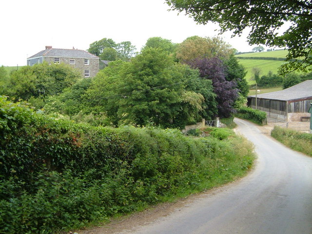
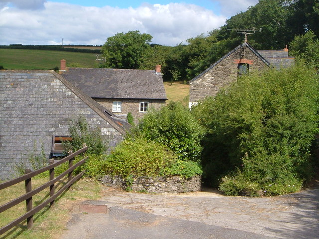
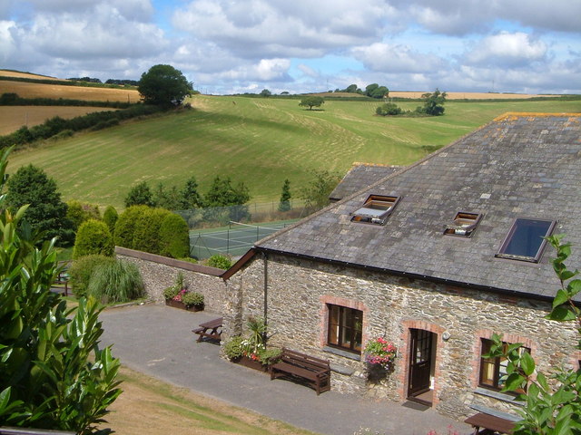
Grimpstonleigh is a picturesque village located in the county of Devon, England. Situated in the South Hams district, Grimpstonleigh is known for its charming countryside views, historic buildings, and friendly community.
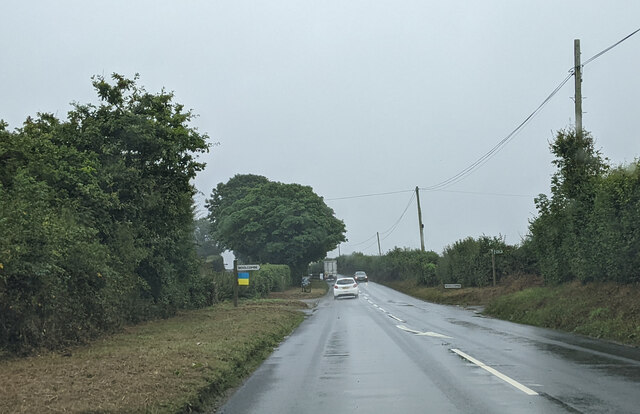
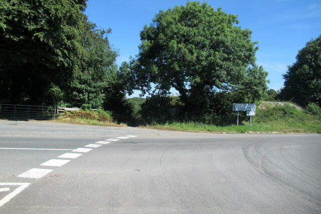
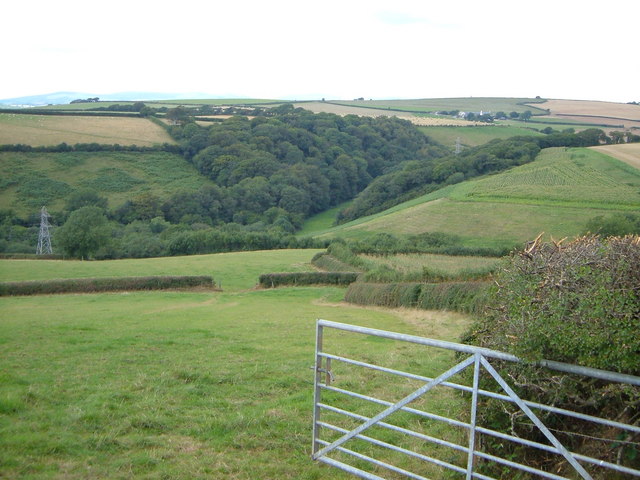
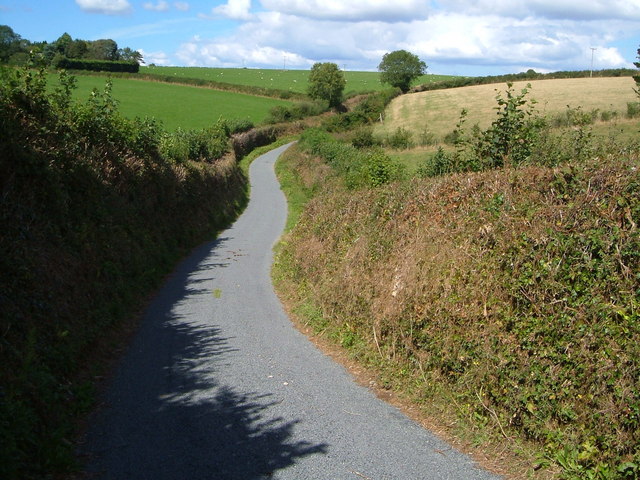
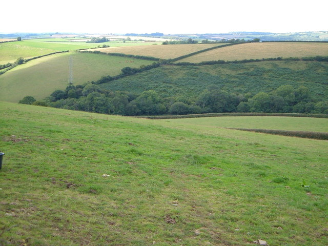
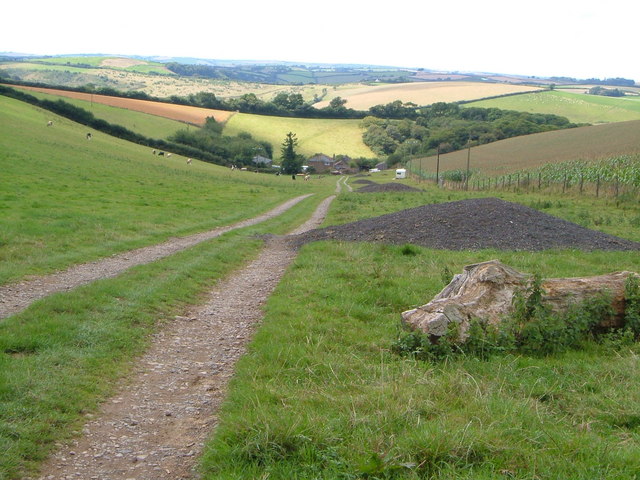
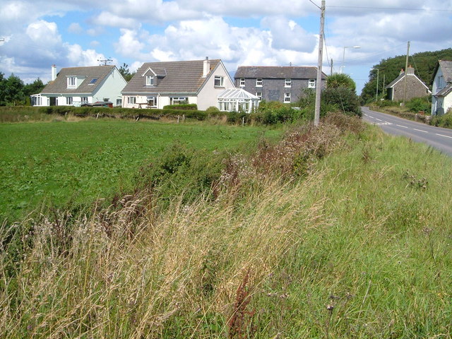
The village is surrounded by rolling hills, lush green fields, and meandering streams, making it a popular destination for hikers, cyclists, and nature enthusiasts. The quaint cottages and stone houses that line the narrow streets add to the village's old-world charm.
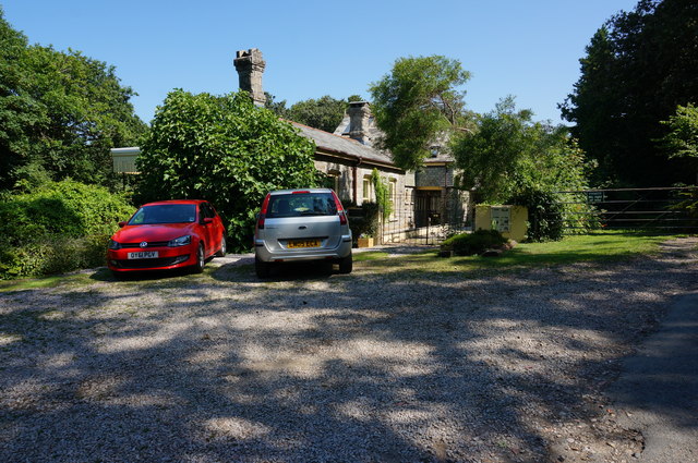
Grimpstonleigh is home to a number of historic landmarks, including St. Mary's Church, which dates back to the 12th century, and the Old Mill, a restored watermill that now serves as a museum. The village also has a thriving local economy, with a handful of shops, pubs, and restaurants catering to both residents and visitors.
Overall, Grimpstonleigh offers a peaceful retreat from the hustle and bustle of city life, where visitors can immerse themselves in the beauty of the Devon countryside and experience the warmth and hospitality of a traditional English village.
If you have any feedback on the listing, please let us know in the comments section below.
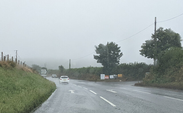
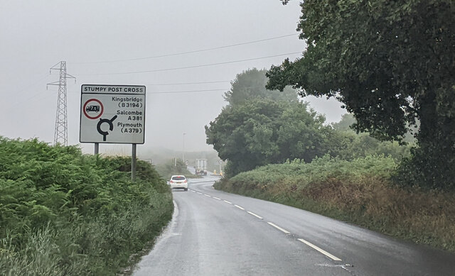
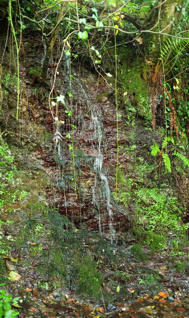
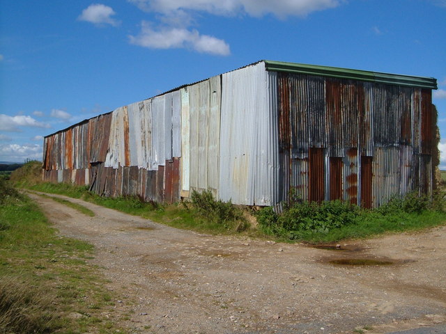
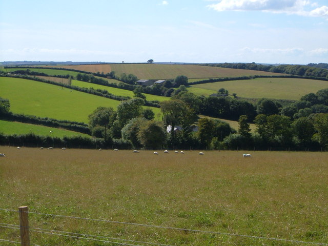
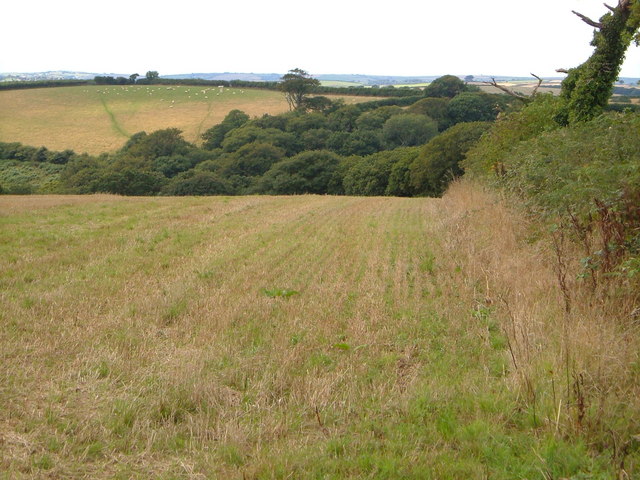
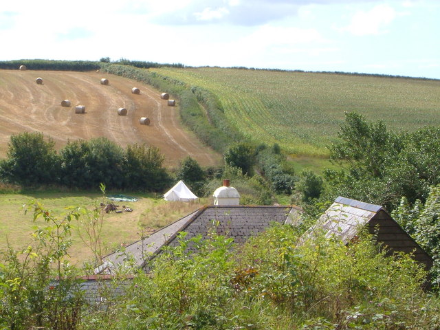
Grimpstonleigh Images
Images are sourced within 2km of 50.328577/-3.7571314 or Grid Reference SX7549. Thanks to Geograph Open Source API. All images are credited.
Grimpstonleigh is located at Grid Ref: SX7549 (Lat: 50.328577, Lng: -3.7571314)
Administrative County: Devon
District: South Hams
Police Authority: Devon and Cornwall
What 3 Words
///saved.arriving.haggle. Near Kingsbridge, Devon
Nearby Locations
Related Wikis
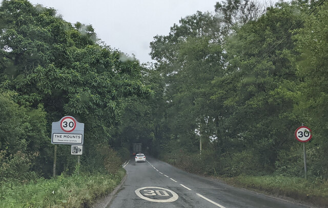
The Mounts
The Mounts is a small hamlet, containing only 17 houses, situated on the A381 road between Totnes and Kingsbridge in Devon, England. It is part of the...
Loddiswell railway station
Loddiswell railway station is a William Clarke-designed station on the Kingsbridge branch of the GWR. == History == The stone built station opened on the...

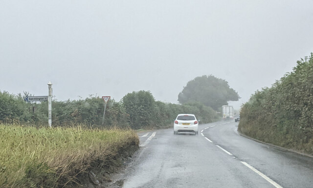
East Allington
East Allington is a village and civil parish in the South Hams district of Devon, England, three miles (5 km) south of Halwell and just off the A381 road...

Woodleigh, Devon
Woodleigh is a village, parish and former manor located in the South Hams region of the county of Devon, England. In 2011 the parish had a population of...
Related Videos

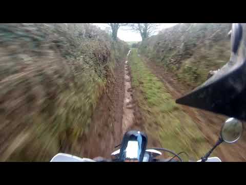
East Allington - Norton Cross Road (ORPA, E-W)
Route information: NGR Start: SX781471 NGR Finish: SX779472 USRN Road Number: 35509151 Date: 25.12.20 Condition: Dirt ...
Nearby Amenities
Located within 500m of 50.328577,-3.7571314Have you been to Grimpstonleigh?
Leave your review of Grimpstonleigh below (or comments, questions and feedback).