Greenwood

Settlement in Oxfordshire Cherwell

England

Greenwood

Fane House, Bicester This is sheltered housing
Fane House, Bicester Credit: David Howard

Greenwood is a small village located in Oxfordshire, England. Situated in the Cherwell Valley, it lies approximately 5 miles southeast of the town of Banbury. The village is surrounded by picturesque countryside, with rolling hills and lush green fields.

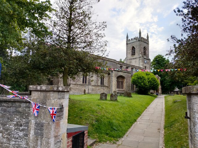
Greenwood has a rich history dating back centuries. It was mentioned in the Domesday Book of 1086 as "Grineworde," indicating its ancient origins. The village is known for its charming thatched cottages, which add to its traditional English village atmosphere.

Despite its small size, Greenwood has a strong sense of community. The village boasts a local pub, The Greenwood Inn, which is a popular gathering spot for residents and visitors alike. The pub offers a warm and friendly atmosphere, serving traditional English fare and a wide selection of beverages.

Nature enthusiasts will find plenty to explore in and around Greenwood. The village is surrounded by beautiful countryside, offering opportunities for scenic walks and cycling trails. The nearby Cherwell River provides a tranquil setting for fishing and boating.

Greenwood is well-connected to surrounding areas by road, with easy access to the M40 motorway. This makes it convenient for commuters and allows residents to explore the wider Oxfordshire region. The nearby town of Banbury offers a range of amenities, including shopping centers, schools, and healthcare facilities.

In summary, Greenwood is a picturesque village in Oxfordshire, known for its history, community spirit, and beautiful countryside. It provides a peaceful and idyllic setting for residents and visitors alike.

If you have any feedback on the listing, please let us know in the comments section below.
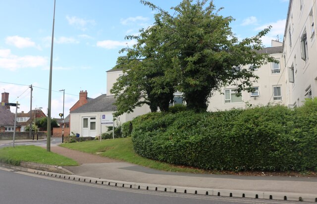
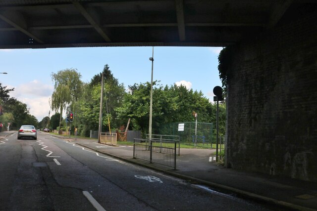
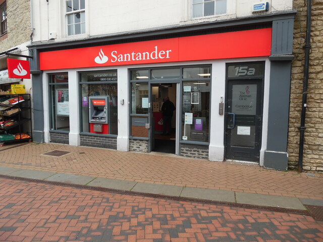
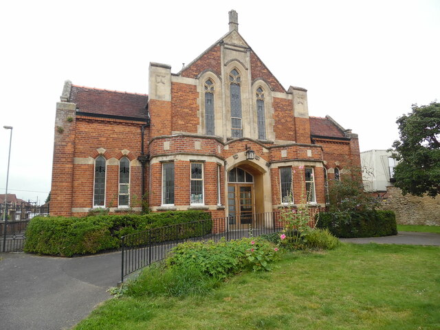
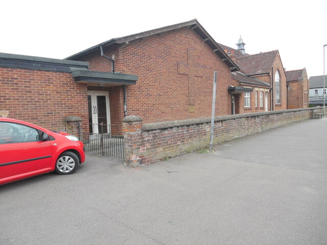
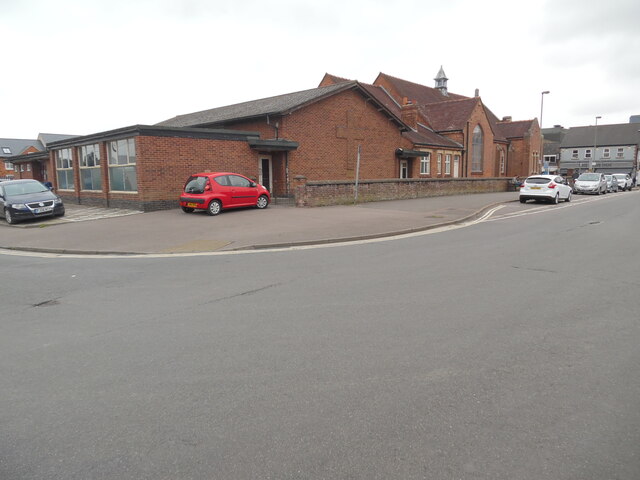
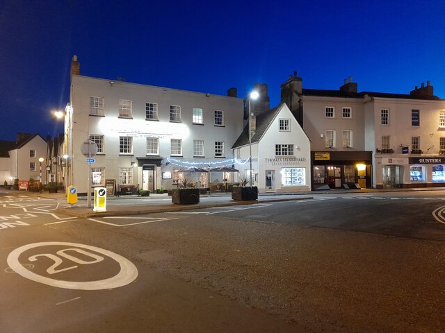
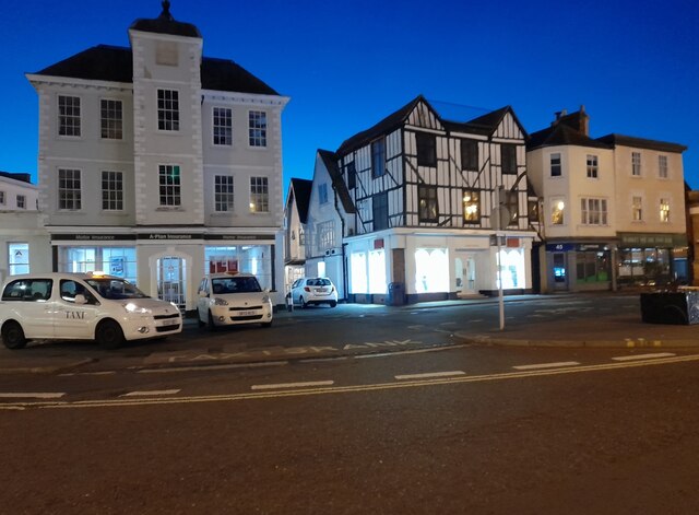
Greenwood Images

Images are sourced within 2km of 51.906446/-1.1715503 or Grid Reference SP5723. Thanks to Geograph Open Source API. All images are credited.

Fane House, Bicester This is sheltered housing
Fane House, Bicester
This is sheltered housing
Under the railway on Banbury Road, Bicester
KX100 Telephone Kiosk at Bicester North Railway Station This photo shows the telephone kiosk at the entrance to the railway station which is in Chiltern Approach off Buckingham Road OX26 6EF. The stairs to the right of the kiosk lead to the southbound platform for trains going to Marylebone Station in London.
KX100 Telephone Kiosk at Bicester North Railway Station
This photo shows the telephone kiosk at the entrance to the railway station which is in Chiltern Approach off Buckingham Road OX26 6EF. The stairs to the right of the kiosk lead to the southbound platform for trains going to Marylebone Station in London.
Santander Bank branch in Bicester This bank branch is located at 15 Sheep Street OX26 6JL. To the right of the branch can be seen No 15a leading to a private clinic.
Santander Bank branch in Bicester
This bank branch is located at 15 Sheep Street OX26 6JL. To the right of the branch can be seen No 15a leading to a private clinic.
Bicester Methodist Church Situated in Bell Lane OX26 6JQ, this church is known as the "Grainger 
Hargreaves Memorial Church" and dates from 1927. It is one of eight churches in the Buckingham, Bicester and Brackley Methodist Circuit, known as the 3Bs Methodist Circuit. Services are held here each Sunday at 10.45am with activities taking place during the week.
Bicester Methodist Church
Situated in Bell Lane OX26 6JQ, this church is known as the "Grainger Hargreaves Memorial Church" and dates from 1927. It is one of eight churches in the Buckingham, Bicester and Brackley Methodist Circuit, known as the 3Bs Methodist Circuit. Services are held here each Sunday at 10.45am with activities taking place during the week.
Side view of Bicester Methodist Church (1) This side view in Bell Lane shows a cross built into the red brickwork of this church. It is named after the Revd Grainger Hargreaves who was an early
Christian missionary in China, and the Methodist Minister from 1921 to 1923. The white double doors seen in the photo lead into the church hall behind the church.
Side view of Bicester Methodist Church (1)
This side view in Bell Lane shows a cross built into the red brickwork of this church. It is named after the Revd Grainger Hargreaves who was an early Christian missionary in China, and the Methodist Minister from 1921 to 1923. The white double doors seen in the photo lead into the church hall behind the church.
Side view of Bicester Methodist Church (2) Taken in Bell Lane, this photo shows the redbrick church hall behind the church. Victoria Road can just be seen to the left of the photo.
Side view of Bicester Methodist Church (2)
Taken in Bell Lane, this photo shows the redbrick church hall behind the church. Victoria Road can just be seen to the left of the photo.
London Road, Bicester
Public toilets at Pioneer Square, Bicester
Banbury Road, Bicester
St Edburg Church, Bichester
Closure Notice at HSBC Bank branch, Bicester This closure notice is on the entrance door of the HSBC bank branch in Sheep Street. It has the 
 following wording:

                  We're closing 
                  this branch soon

    This branch will close permanently on Tuesday 20 June 2023
    The nearest HSBC UK branch will be:
    65 Cornmarket Street, Oxford, Oxfordshire, 
    OX1 3HY
    
   For details of the services at this branch, our other branch locations
   and the services they offer, please visit at hsbc.co.uk/branch-finder

   Or you can access your remote banking services safely, securely and
   wherever you are:
 
   • With our mobile banking app
   • On our website at hsbc.co.uk
   • Over the phone by calling:
      Personal Customers 03457 404 404
      Business Customers 03457 60 60 60

   Customers can also access some of our services at the Post Office
   20 Sheep Street, Bicester, Oxfordshire
   OX26 6TB

   HSBC UK
Closure Notice at HSBC Bank branch, Bicester
This closure notice is on the entrance door of the HSBC bank branch in Sheep Street. It has the following wording: We're closing this branch soon This branch will close permanently on Tuesday 20 June 2023 The nearest HSBC UK branch will be: 65 Cornmarket Street, Oxford, Oxfordshire, OX1 3HY For details of the services at this branch, our other branch locations and the services they offer, please visit at hsbc.co.uk/branch-finder Or you can access your remote banking services safely, securely and wherever you are: • With our mobile banking app • On our website at hsbc.co.uk • Over the phone by calling: Personal Customers 03457 404 404 Business Customers 03457 60 60 60 Customers can also access some of our services at the Post Office 20 Sheep Street, Bicester, Oxfordshire OX26 6TB HSBC UK
HSBC Bank branch, Bicester (1) Located at 1-3 Sheep Street OX26 6JA. this bank branch is due for permanent closure on Tuesday 20th June 2023. Sheep Street can be seen to the right of the photo while Market Square is to the left.
HSBC Bank branch, Bicester (1)
Located at 1-3 Sheep Street OX26 6JA. this bank branch is due for permanent closure on Tuesday 20th June 2023. Sheep Street can be seen to the right of the photo while Market Square is to the left.
HSBC Bank branch, Bicester (2) Taken from Sheep Street, this bank is one of 114 HSBC branches due for closure in 2023.
HSBC Bank branch, Bicester (2)
Taken from Sheep Street, this bank is one of 114 HSBC branches due for closure in 2023.
Inscription above HSBC Bank branch, Bicester This inscription refers to the establishing of the Birmingham and Midland Bank in 1836 which was renamed the Midland Bank in 1923.  It then became the HSBC Bank in 1999. This branch in Bicester was built in 1920 and is due for closure on Tuesday 20th June 2023.
Inscription above HSBC Bank branch, Bicester
This inscription refers to the establishing of the Birmingham and Midland Bank in 1836 which was renamed the Midland Bank in 1923. It then became the HSBC Bank in 1999. This branch in Bicester was built in 1920 and is due for closure on Tuesday 20th June 2023.
Blooms Garden Centre
Sheep Street looking north
Show me another place!

Greenwood is located at Grid Ref: SP5723 (Lat: 51.906446, Lng: -1.1715503)

Administrative County: Oxfordshire

District: Cherwell

Police Authority: Thames Valley

What 3 Words

///asleep.hurricane.drip. Near Bicester, Oxfordshire

Related Wikis

Bure Park

Bure Park is a 8.4-hectare (21-acre) Local Nature Reserve in Bicester in Oxfordshire. It is owned by Bicester Town Council and managed by Cherwell District...

The Bicester School

The Bicester School (previously Bicester Community College) is a mixed, multi-heritage, secondary school, with 963 students (including a sixth form). It...

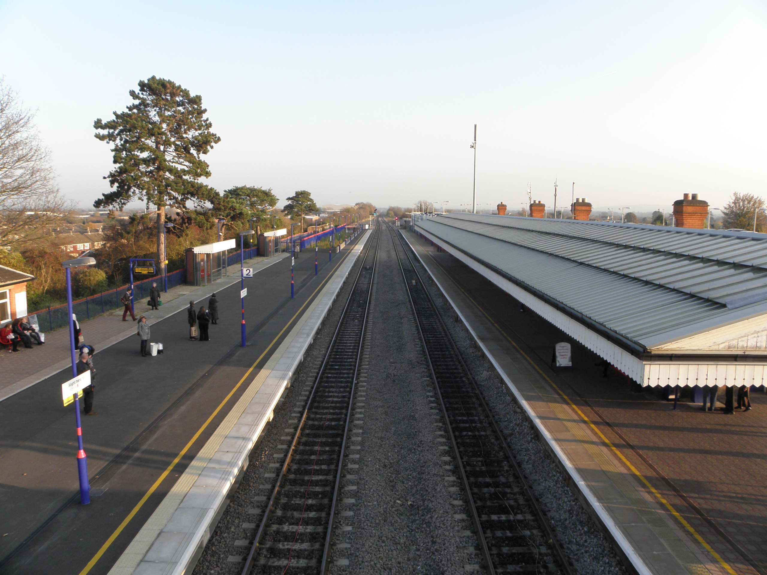
Bicester North railway station

Bicester North is a station on the Chiltern Main Line, one of two stations serving Bicester in Oxfordshire. Services operated by Chiltern Railways run...

Bicester

Bicester ( BISS-tər) is a historical market town, garden town, and civil parish in the Cherwell district of northeastern Oxfordshire in south-central...

Nearby Amenities

Located within 500m of 51.906446,-1.1715503
Traffic Signals
Lat/Long: 51.9080467/-1.1737738
Turning Circle
Lat/Long: 51.9088681/-1.171803
Turning Circle
Lat/Long: 51.9088748/-1.1675399
Turning Circle
Lat/Long: 51.9073492/-1.1708207
Turning Circle
Lat/Long: 51.9078092/-1.1663539
Crossing
Crossing: uncontrolled
Lat/Long: 51.9069913/-1.1656718
Turning Circle
Lat/Long: 51.9071034/-1.1656031
Mini Roundabout
Direction: clockwise
Lat/Long: 51.9045539/-1.171211
Pub
Highfield Social Club
Addr City: Bicester
Addr Postcode: OX26 2EE
Lat/Long: 51.9061938/-1.1658553
Recycling
Lat/Long: 51.906045/-1.1653675
Turning Circle
Lat/Long: 51.9036178/-1.1748804
Turning Circle
Lat/Long: 51.9069842/-1.1643963
Turning Circle
Lat/Long: 51.9090462/-1.1702766
Turning Circle
Lat/Long: 51.9099801/-1.1700106
Turning Circle
Lat/Long: 51.9092858/-1.1687843
Post Box
Check Date: 2023-08-21
Postal Code: OX26
Ref: OX26 879
Lat/Long: 51.9088982/-1.1684325
Turning Circle
Lat/Long: 51.9042763/-1.176091
Crossing
Crossing: unmarked
Crossing Island: no
Tactile Paving: yes
Lat/Long: 51.9086989/-1.1677237
Noexit: yes
Lat/Long: 51.9042257/-1.1667162
Noexit: yes
Lat/Long: 51.9039308/-1.1672577
Post Box
Ref: OX26 875D
Royal Cypher: EIIR
Lat/Long: 51.9051491/-1.1703637
Turning Circle
Lat/Long: 51.9070935/-1.1716656
Turning Circle
Lat/Long: 51.9043253/-1.1697176
Turning Circle
Lat/Long: 51.9047438/-1.1679046
Noexit: yes
Lat/Long: 51.9046351/-1.1658905
Note: depot
Lat/Long: 51.9050907/-1.1648867
Veterinary
The Hart Veterinary Centre
Lat/Long: 51.9084937/-1.1680522
Turning Circle
Lat/Long: 51.9067326/-1.1747199
Turning Circle
Lat/Long: 51.9057785/-1.1759224
Turning Circle
Lat/Long: 51.9051477/-1.176511
Turning Circle
Lat/Long: 51.9036371/-1.1762321
Bus Stop
Derwent Road
Bus: yes
Naptan AtcoCode: 340001559CNR
Naptan Bearing: N
Naptan CommonName: Derwent Road
Naptan Indicator: Corner
Naptan Landmark: Derwent Road
Naptan NaptanCode: oxfgdmgd
Naptan Street: Derwent Road
Naptan Verified: no
Public Transport: platform
Source: naptan_import
Lat/Long: 51.9060471/-1.1746772
Bus Stop
Bunyan Road
Bus: yes
Naptan AtcoCode: 340001560OPP
Naptan Bearing: SW
Naptan CommonName: Bunyan Road
Naptan Indicator: Opp Wordsworth Close
Naptan Landmark: Wordsworth Close
Naptan NaptanCode: oxfgdmga
Naptan Street: Bunyan Road
Naptan Verified: no
Public Transport: platform
Source: naptan_import
Lat/Long: 51.9075781/-1.1697377
Bus Stop
Bunyan Road
Bus: yes
Naptan AtcoCode: 340001560WOR
Naptan Bearing: NE
Naptan CommonName: Bunyan Road
Naptan Indicator: Wordsworth Close Cnr
Naptan Landmark: Wordsworth Close
Naptan NaptanCode: oxfgdmdw
Naptan Street: Bunyan Road
Naptan Verified: no
Public Transport: platform
Source: naptan_import
Lat/Long: 51.9078537/-1.1694689
Bus Stop
Kingsley Road
Bus: yes
Naptan AtcoCode: 340001561CNR
Naptan Bearing: E
Naptan CommonName: Kingsley Road
Naptan Indicator: Eastbound
Naptan Landmark: Kingsley Road
Naptan NaptanCode: oxfgdmdt
Naptan Street: Kingsley Road
Naptan Verified: no
Public Transport: platform
Source: naptan_import
Lat/Long: 51.9089437/-1.1684894
Bus Stop
Kingsley Road
Bus: yes
Naptan AtcoCode: 340001561OPP
Naptan Bearing: W
Naptan CommonName: Kingsley Road
Naptan Indicator: Westbound
Naptan Landmark: Kingsley Road
Naptan NaptanCode: oxfawdpt
Naptan Street: Kingsley Road
Naptan Verified: no
Public Transport: platform
Source: naptan_import
Lat/Long: 51.9088987/-1.1684757
Bus Stop
Maud Close
Bus: yes
Naptan AtcoCode: 340003078MUC
Naptan Bearing: SE
Naptan CommonName: Maud Close
Naptan Indicator: Bottom Of
Naptan Landmark: Maud Close
Naptan NaptanCode: oxfawdpw
Naptan Street: Bucknell Road
Naptan Verified: no
Public Transport: platform
Source: naptan_import
Lat/Long: 51.9078072/-1.1667078
Maud Close
Naptan AtcoCode: 340003078OPP
Naptan Bearing: NW
Naptan BusStopType: CUS
Naptan CommonName: Maud Close
Naptan Indicator: Opposite
Naptan Landmark: Maud Close
Naptan NaptanCode: oxfgagam
Naptan Street: Bucknell Road
Naptan Verified: no
Source: naptan_import
Lat/Long: 51.907763/-1.1668103
Bus Stop
Swift Close
Bus: yes
Naptan AtcoCode: 340003079CNR
Naptan Bearing: NE
Naptan CommonName: Swift Close
Naptan Indicator: Corner
Naptan Landmark: Swift Close
Naptan NaptanCode: oxfawdpm
Naptan Street: Brook Road
Naptan Verified: no
Public Transport: platform
Source: naptan_import
Lat/Long: 51.9067295/-1.1706962
Bus Stop
Swift Close
Bench: no
Bin: no
Bus: yes
Naptan AtcoCode: 340003079OPP
Naptan Bearing: SW
Naptan CommonName: Swift Close
Naptan Indicator: Opposite
Naptan Landmark: Swift Close
Naptan NaptanCode: oxfawdpj
Naptan Street: Brook Road
Public Transport: platform
Shelter: no
Source: naptan_import
Lat/Long: 51.9065172/-1.1711944
Bus Stop
Greenwood Dr Junc
Bench: no
Bin: no
Bus: yes
Naptan AtcoCode: 340003080OPP
Naptan Bearing: S
Naptan CommonName: Greenwood Dr Junc
Naptan Indicator: Opposite
Naptan Landmark: Greenwood Drive
Naptan NaptanCode: oxfawdpg
Naptan Street: Shakespeare Drive
Public Transport: platform
Shelter: no
Source: naptan_import
Lat/Long: 51.9031253/-1.172158
Greenwood Dr Junc
Naptan AtcoCode: 340003080OUT
Naptan Bearing: N
Naptan BusStopType: CUS
Naptan CommonName: Greenwood Dr Junc
Naptan Indicator: Corner
Naptan Landmark: Greenwood Drive
Naptan NaptanCode: oxfatdmg
Naptan Street: Shakespeare Drive
Naptan Verified: no
Source: naptan_import
Lat/Long: 51.9029743/-1.1724224
Bus Stop
Orchard Way
Bus: yes
Naptan AtcoCode: 340003083OPP
Naptan Bearing: W
Naptan CommonName: Orchard Way
Naptan Indicator: Opposite
Naptan Landmark: Orchard Way
Naptan NaptanCode: oxfawdmw
Naptan Street: Blenheim Drive
Naptan Verified: no
Public Transport: platform
Source: naptan_import
Lat/Long: 51.9032539/-1.1674461
Bus Stop
Orchard Way
Bus: yes
Naptan AtcoCode: 340003083OUT
Naptan Bearing: E
Naptan CommonName: Orchard Way
Naptan Indicator: Outside
Naptan Landmark: Orchard Way
Naptan NaptanCode: oxfawdgt
Naptan Street: Blenheim Drive
Naptan Verified: no
Public Transport: platform
Source: naptan_import
Lat/Long: 51.9033828/-1.1678798
Generator Method: photovoltaic
Generator Output Electricity: yes
Generator Source: solar
Generator Type: solar_photovoltaic_panel
Location: roof
Power: generator
Lat/Long: 51.9029178/-1.1694083
Generator Method: photovoltaic
Generator Output Electricity: yes
Generator Source: solar
Generator Type: solar_photovoltaic_panel
Location: roof
Power: generator
Lat/Long: 51.9023236/-1.1698428
Generator Method: photovoltaic
Generator Output Electricity: yes
Generator Source: solar
Generator Type: solar_photovoltaic_panel
Location: roof
Power: generator
Lat/Long: 51.9024196/-1.1702532
Generator Method: photovoltaic
Generator Output Electricity: yes
Generator Source: solar
Generator Type: solar_photovoltaic_panel
Location: roof
Power: generator
Lat/Long: 51.9030981/-1.1708942
Generator Method: photovoltaic
Generator Output Electricity: yes
Generator Source: solar
Generator Type: solar_photovoltaic_panel
Location: roof
Power: generator
Lat/Long: 51.9031279/-1.1708701
Generator Method: photovoltaic
Generator Output Electricity: yes
Generator Source: solar
Generator Type: solar_photovoltaic_panel
Location: roof
Power: generator
Lat/Long: 51.90307/-1.1697757
Generator Method: photovoltaic
Generator Output Electricity: yes
Generator Source: solar
Generator Type: solar_photovoltaic_panel
Location: roof
Power: generator
Lat/Long: 51.9026348/-1.1712912
Generator Method: photovoltaic
Generator Output Electricity: yes
Generator Source: solar
Generator Type: solar_photovoltaic_panel
Location: roof
Power: generator
Lat/Long: 51.9032189/-1.1712295
Generator Method: photovoltaic
Generator Output Electricity: yes
Generator Source: solar
Generator Type: solar_photovoltaic_panel
Location: roof
Power: generator
Lat/Long: 51.9029972/-1.1714977
Generator Method: photovoltaic
Generator Output Electricity: yes
Generator Source: solar
Generator Type: solar_photovoltaic_panel
Location: roof
Power: generator
Lat/Long: 51.9030799/-1.1717391
Generator Method: photovoltaic
Generator Output Electricity: yes
Generator Source: solar
Generator Type: solar_photovoltaic_panel
Location: roof
Power: generator
Lat/Long: 51.9031412/-1.1719698
Generator Method: photovoltaic
Generator Output Electricity: yes
Generator Source: solar
Generator Type: solar_photovoltaic_panel
Location: roof
Power: generator
Lat/Long: 51.9034026/-1.171774
Generator Method: photovoltaic
Generator Output Electricity: yes
Generator Source: solar
Generator Type: solar_photovoltaic_panel
Location: roof
Power: generator
Lat/Long: 51.9042632/-1.1704007
Generator Method: photovoltaic
Generator Output Electricity: yes
Generator Source: solar
Generator Type: solar_photovoltaic_panel
Location: roof
Power: generator
Lat/Long: 51.9039636/-1.1712027
Generator Method: photovoltaic
Generator Output Electricity: yes
Generator Source: solar
Generator Type: solar_photovoltaic_panel
Location: roof
Power: generator
Lat/Long: 51.9038048/-1.1737749
Generator Method: photovoltaic
Generator Output Electricity: yes
Generator Source: solar
Generator Type: solar_photovoltaic_panel
Location: roof
Power: generator
Lat/Long: 51.9046388/-1.1737695
Generator Method: photovoltaic
Generator Output Electricity: yes
Generator Source: solar
Generator Type: solar_photovoltaic_panel
Location: roof
Power: generator
Lat/Long: 51.9045445/-1.1771974
Generator Method: photovoltaic
Generator Output Electricity: yes
Generator Source: solar
Generator Type: solar_photovoltaic_panel
Location: roof
Power: generator
Lat/Long: 51.9045428/-1.1764705
Generator Method: photovoltaic
Generator Output Electricity: yes
Generator Source: solar
Generator Type: solar_photovoltaic_panel
Location: roof
Power: generator
Lat/Long: 51.9042466/-1.1764276
Generator Method: photovoltaic
Generator Output Electricity: yes
Generator Source: solar
Generator Type: solar_photovoltaic_panel
Location: roof
Power: generator
Lat/Long: 51.9028913/-1.1755398
Generator Method: photovoltaic
Generator Output Electricity: yes
Generator Source: solar
Generator Type: solar_photovoltaic_panel
Location: roof
Power: generator
Lat/Long: 51.9033182/-1.1759931
Fast Food
Kent Hon
Cuisine: chinese
Takeaway: yes
Lat/Long: 51.9086564/-1.1683045
Bicester Launderette
Shop: laundry
Lat/Long: 51.9086121/-1.1682256
Fast Food
Golden Kitchen
Addr City: Bicester
Addr Housenumber: 11
Addr Street: Kingsley Road
Cuisine: fish_and_chips
Takeaway: yes
Lat/Long: 51.9085404/-1.168147
Description: 3K
Information: route_marker
Tourism: information
Lat/Long: 51.903835/-1.1715901
Crossing
Crossing: unmarked
Crossing Island: no
Tactile Paving: yes
Lat/Long: 51.9045855/-1.1713647
Crossing
Crossing: unmarked
Crossing Island: no
Tactile Paving: yes
Lat/Long: 51.9088963/-1.168319
Power: substation
Lat/Long: 51.9025617/-1.1723579
Crossing
Crossing: unmarked
Crossing Island: no
Tactile Paving: yes
Lat/Long: 51.9050461/-1.1709423
Crossing
Crossing: unmarked
Crossing Island: no
Tactile Paving: yes
Lat/Long: 51.9070625/-1.1721936
Crossing
Crossing: unmarked
Crossing Island: no
Tactile Paving: yes
Lat/Long: 51.9064914/-1.1713405
Crossing
Crossing: unmarked
Crossing Island: no
Tactile Paving: yes
Lat/Long: 51.9093356/-1.1705898
Crossing
Crossing: unmarked
Crossing Island: no
Tactile Paving: yes
Lat/Long: 51.9074964/-1.17247
Crossing
Crossing: unmarked
Crossing Island: no
Tactile Paving: no
Lat/Long: 51.9085825/-1.1686757
Crossing
Crossing: unmarked
Crossing Island: no
Tactile Paving: yes
Lat/Long: 51.9087958/-1.1685663
Crossing
Crossing: unmarked
Crossing Island: no
Tactile Paving: yes
Lat/Long: 51.908809/-1.1687175
Description: 4K
Information: route_marker
Tourism: information
Lat/Long: 51.908937/-1.1682465
Description: Goods vehicles exceeding the maximum gross weight indicated prohibited, except for access
Direction: forward
Maxweightrating Hgv: 7.5
Maxweightrating Hgv Conditional: none @ destination
Traffic Sign: GB:622.1A
Lat/Long: 51.9102468/-1.1694003
Description: Goods vehicles exceeding the maximum gross weight indicated prohibited, except for access
Direction: forward
Maxweightrating Hgv: 7.5
Maxweightrating Hgv Conditional: none @ destination
Traffic Sign: GB:622.1A
Lat/Long: 51.9079967/-1.1736543
The data included in this document is from www.openstreetmap.org. The data is made available under ODbL.

Have you been to Greenwood?

Leave your review of Greenwood below (or comments, questions and feedback).