Highfield

Settlement in Oxfordshire Cherwell

England

Highfield

Fane House, Bicester This is sheltered housing
Fane House, Bicester Credit: David Howard

Highfield is a small village located in the county of Oxfordshire, England. Situated approximately 3 miles northeast of the town of Henley-on-Thames, Highfield enjoys a picturesque countryside setting. The village is nestled amidst rolling hills and green fields, offering residents and visitors a tranquil and idyllic escape from the hustle and bustle of city life.

Highfield is primarily a residential area, characterized by its charming cottages and well-maintained gardens. The village has a close-knit community, where neighbors often engage in social activities and participate in local events. The residents take pride in their community, evident in the tidy streets and well-preserved buildings.

Being in close proximity to Henley-on-Thames, Highfield benefits from the amenities and services provided by the larger town. Henley-on-Thames offers a range of shopping facilities, restaurants, and leisure activities. The village also benefits from good transportation links, with easy access to major road networks, making it convenient for commuters and those wishing to explore the surrounding areas.

For outdoor enthusiasts, Highfield offers plenty of opportunities for leisurely walks and exploration. The surrounding countryside provides breathtaking views and a serene atmosphere. The village is also in close proximity to the Chiltern Hills, an Area of Outstanding Natural Beauty, which offers numerous hiking and cycling trails.

In conclusion, Highfield, Oxfordshire is a charming village with a strong sense of community and a beautiful rural setting. Its proximity to Henley-on-Thames and the surrounding countryside make it an attractive place to live or visit for those seeking a peaceful and picturesque location.

If you have any feedback on the listing, please let us know in the comments section below.
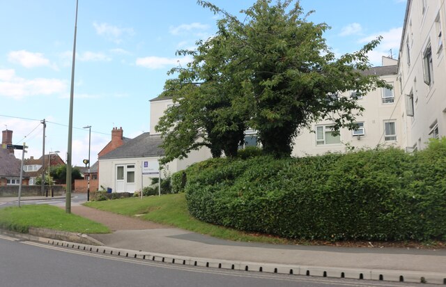
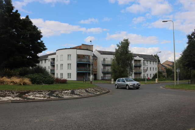
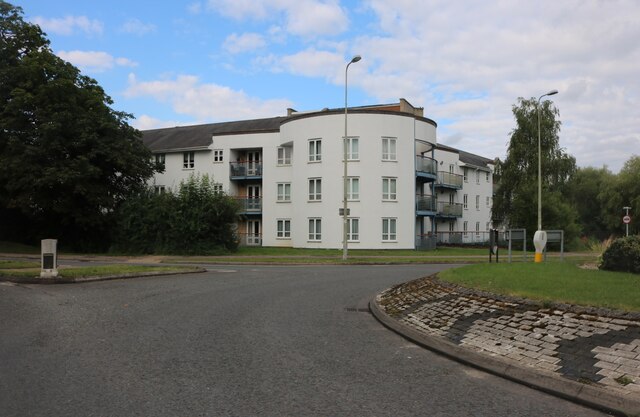
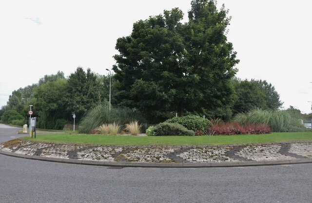
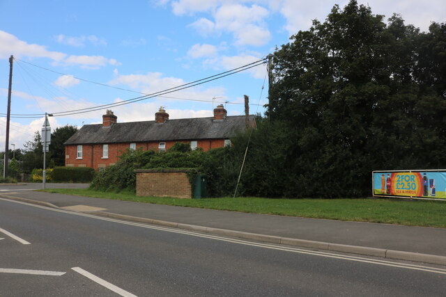
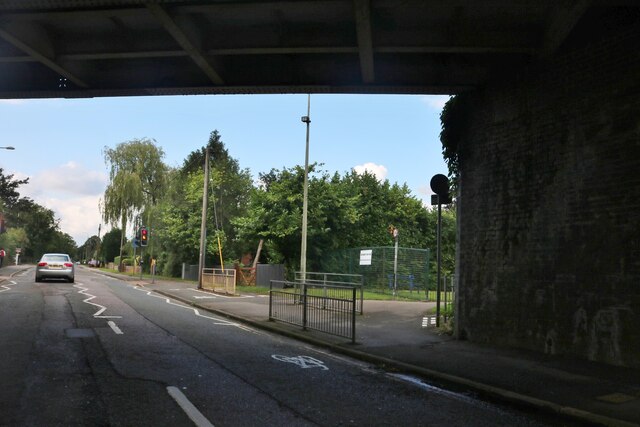
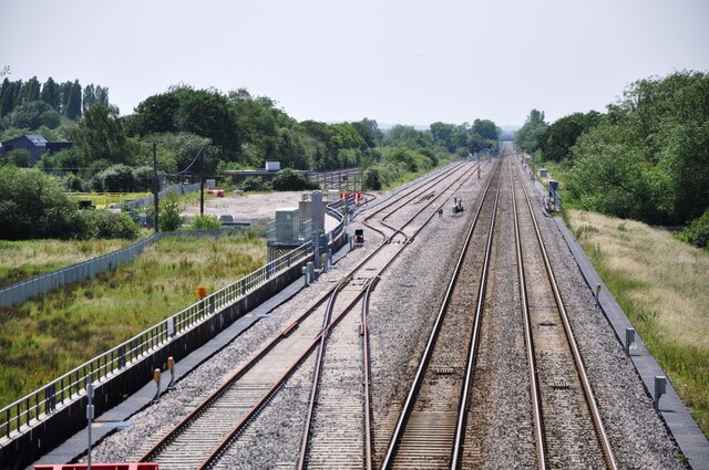
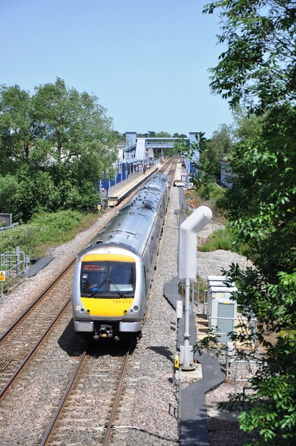
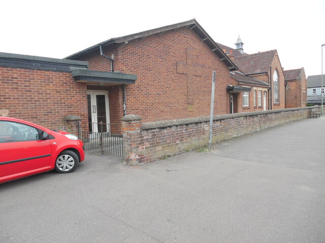
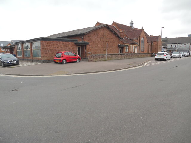
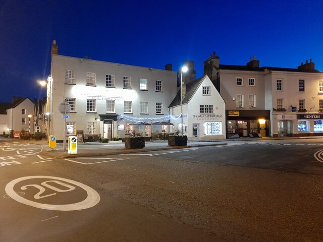
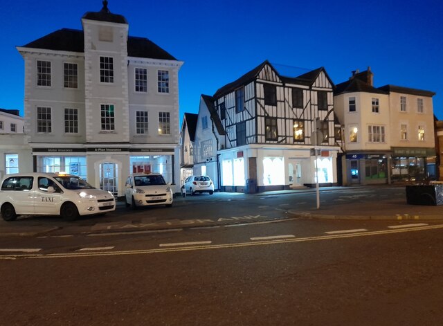
Highfield Images

Images are sourced within 2km of 51.903067/-1.163906 or Grid Reference SP5723. Thanks to Geograph Open Source API. All images are credited.

Fane House, Bicester This is sheltered housing
Fane House, Bicester
This is sheltered housing
Flats on London Road, Bicester
Landscaped roundabout on London Road, Bicester
London Road, Bicester By the level crossing
London Road, Bicester
By the level crossing
Under the railway on Banbury Road, Bicester
View south west from the A41 bridge A view of the Bicester to Oxford railway line on the right and the loops and sidings on the left giving access to the Bicester Military Railway in the middle distance.  The MOD depot although these days reduced in size still retains rail access, with regular freight trains arriving and departing.
View south west from the A41 bridge
A view of the Bicester to Oxford railway line on the right and the loops and sidings on the left giving access to the Bicester Military Railway in the middle distance. The MOD depot although these days reduced in size still retains rail access, with regular freight trains arriving and departing.
View north east from A41 bridge Chiltern railways DMU No. 168322 has just departed from Bicester Village Station heading for Oxford.  The station was named Bicester Town until the line was rebuilt for Chiltern services to Oxford, and now serves the nearby Bicester Village retail outlet shopping centre.
View north east from A41 bridge
Chiltern railways DMU No. 168322 has just departed from Bicester Village Station heading for Oxford. The station was named Bicester Town until the line was rebuilt for Chiltern services to Oxford, and now serves the nearby Bicester Village retail outlet shopping centre.
Bicester Level Crossing Chiltern Railways dmu No. 168328 heads towards London after stopping at Bicester Village Station.  These services run regularly between Oxford and London Marylebone via the New Bicester Chord line, opened in 2015. This is the only level crossing on the route, as all others have been replaced with bridges.
Bicester Level Crossing
Chiltern Railways dmu No. 168328 heads towards London after stopping at Bicester Village Station. These services run regularly between Oxford and London Marylebone via the New Bicester Chord line, opened in 2015. This is the only level crossing on the route, as all others have been replaced with bridges.
KX100 Telephone Kiosk at Bicester North Railway Station This photo shows the telephone kiosk at the entrance to the railway station which is in Chiltern Approach off Buckingham Road OX26 6EF. The stairs to the right of the kiosk lead to the southbound platform for trains going to Marylebone Station in London.
KX100 Telephone Kiosk at Bicester North Railway Station
This photo shows the telephone kiosk at the entrance to the railway station which is in Chiltern Approach off Buckingham Road OX26 6EF. The stairs to the right of the kiosk lead to the southbound platform for trains going to Marylebone Station in London.
Santander Bank branch in Bicester This bank branch is located at 15 Sheep Street OX26 6JL. To the right of the branch can be seen No 15a leading to a private clinic.
Santander Bank branch in Bicester
This bank branch is located at 15 Sheep Street OX26 6JL. To the right of the branch can be seen No 15a leading to a private clinic.
Bicester Methodist Church Situated in Bell Lane OX26 6JQ, this church is known as the "Grainger 
Hargreaves Memorial Church" and dates from 1927. It is one of eight churches in the Buckingham, Bicester and Brackley Methodist Circuit, known as the 3Bs Methodist Circuit. Services are held here each Sunday at 10.45am with activities taking place during the week.
Bicester Methodist Church
Situated in Bell Lane OX26 6JQ, this church is known as the "Grainger Hargreaves Memorial Church" and dates from 1927. It is one of eight churches in the Buckingham, Bicester and Brackley Methodist Circuit, known as the 3Bs Methodist Circuit. Services are held here each Sunday at 10.45am with activities taking place during the week.
Side view of Bicester Methodist Church (1) This side view in Bell Lane shows a cross built into the red brickwork of this church. It is named after the Revd Grainger Hargreaves who was an early
Christian missionary in China, and the Methodist Minister from 1921 to 1923. The white double doors seen in the photo lead into the church hall behind the church.
Side view of Bicester Methodist Church (1)
This side view in Bell Lane shows a cross built into the red brickwork of this church. It is named after the Revd Grainger Hargreaves who was an early Christian missionary in China, and the Methodist Minister from 1921 to 1923. The white double doors seen in the photo lead into the church hall behind the church.
Side view of Bicester Methodist Church (2) Taken in Bell Lane, this photo shows the redbrick church hall behind the church. Victoria Road can just be seen to the left of the photo.
Side view of Bicester Methodist Church (2)
Taken in Bell Lane, this photo shows the redbrick church hall behind the church. Victoria Road can just be seen to the left of the photo.
London Road, Bicester
Public toilets at Pioneer Square, Bicester
Banbury Road, Bicester
Show me another place!

Highfield is located at Grid Ref: SP5723 (Lat: 51.903067, Lng: -1.163906)

Administrative County: Oxfordshire

District: Cherwell

Police Authority: Thames Valley

What 3 Words

///burst.wins.backup. Near Bicester, Oxfordshire

Related Wikis

The Bicester School

The Bicester School (previously Bicester Community College) is a mixed, multi-heritage, secondary school, with 963 students (including a sixth form). It...

Bure Park

Bure Park is a 8.4-hectare (21-acre) Local Nature Reserve in Bicester in Oxfordshire. It is owned by Bicester Town Council and managed by Cherwell District...

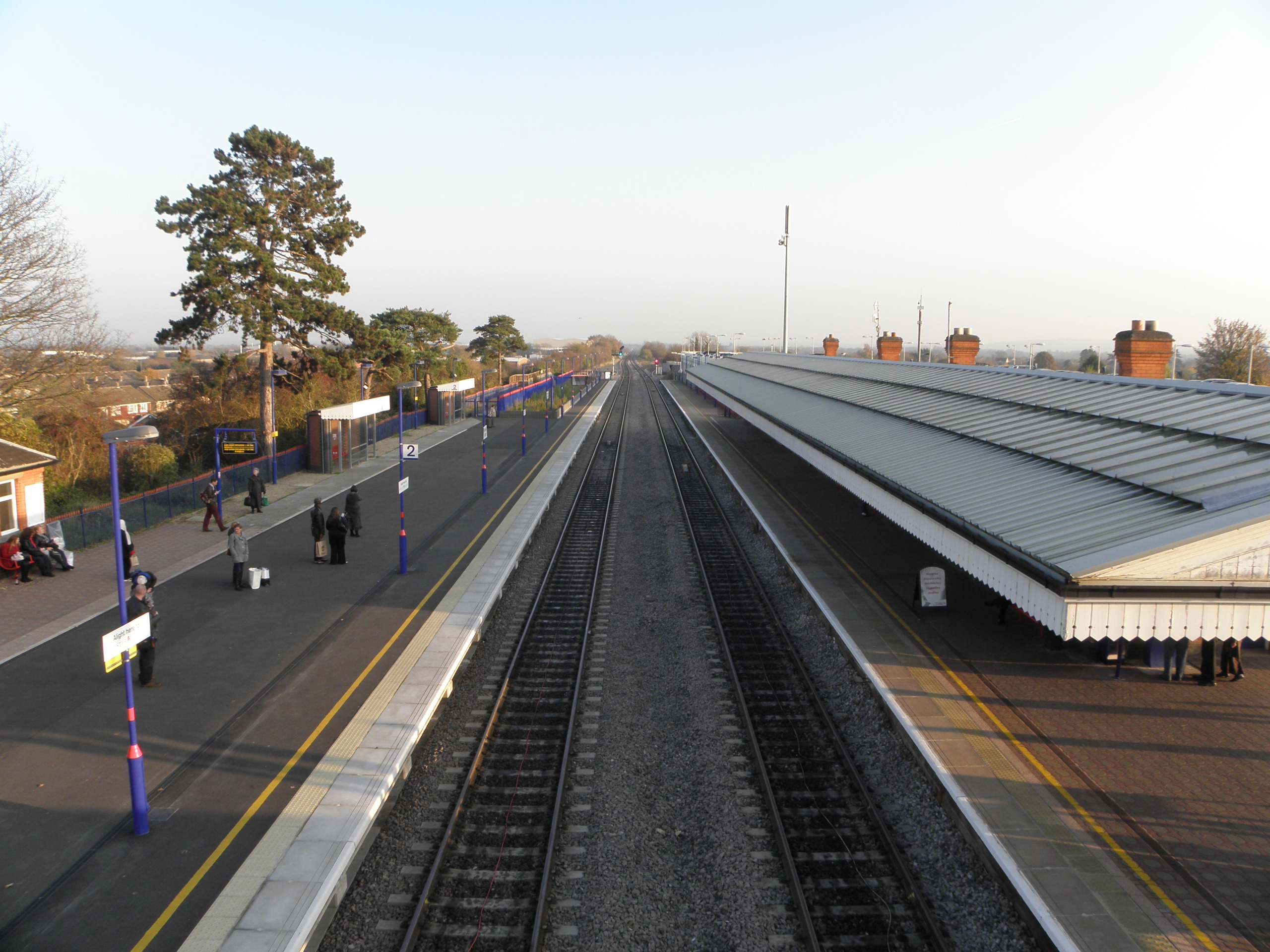
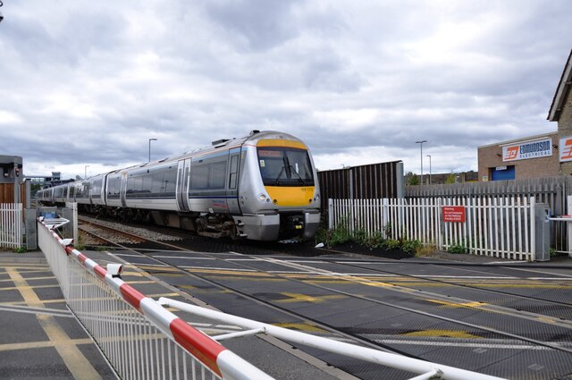
Bicester North railway station

Bicester North is a station on the Chiltern Main Line, one of two stations serving Bicester in Oxfordshire. Services operated by Chiltern Railways run...

Bicester

Bicester ( BISS-tər) is a historical market town, garden town, and civil parish in the Cherwell district of northeastern Oxfordshire in south-central...
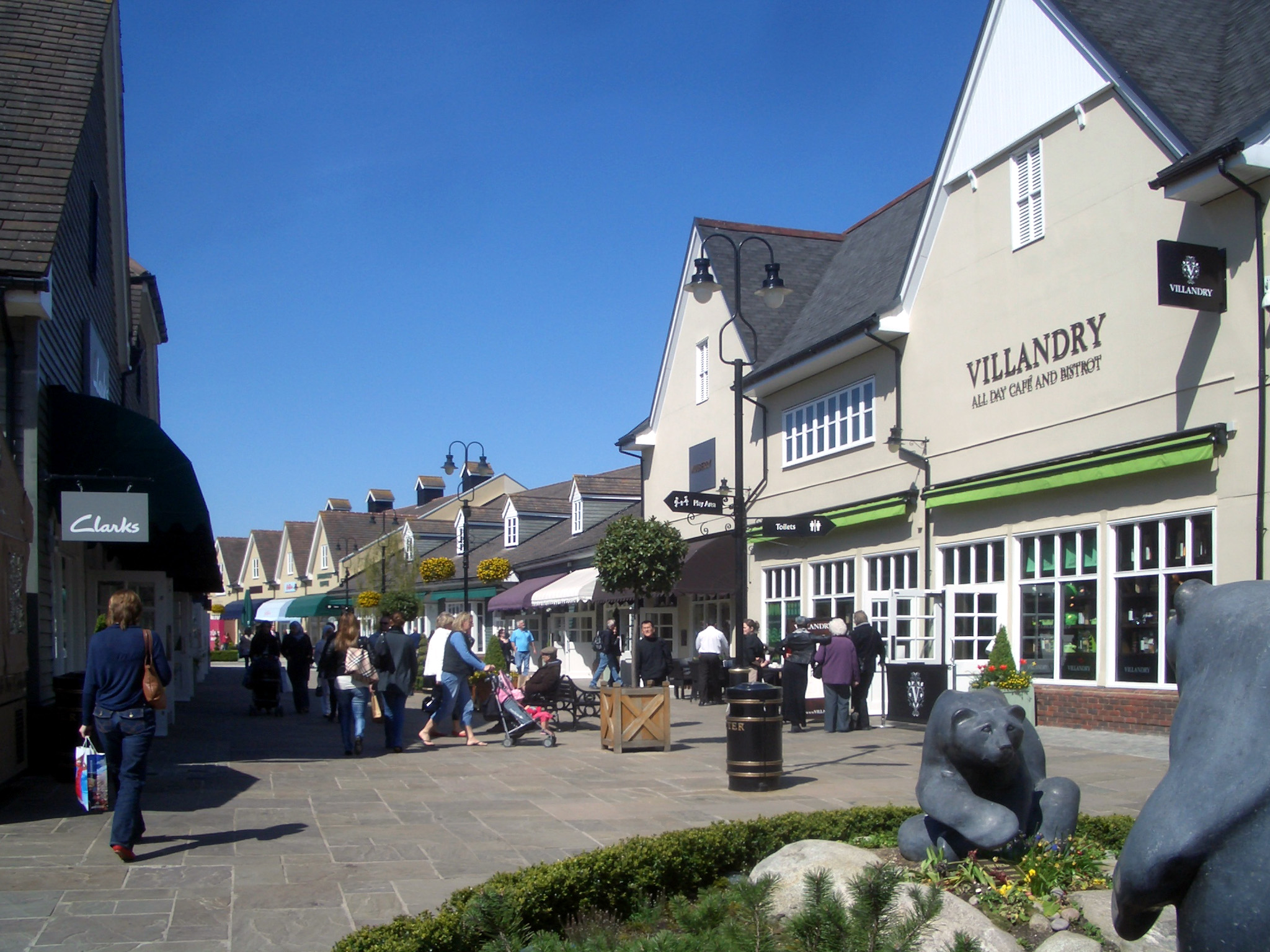
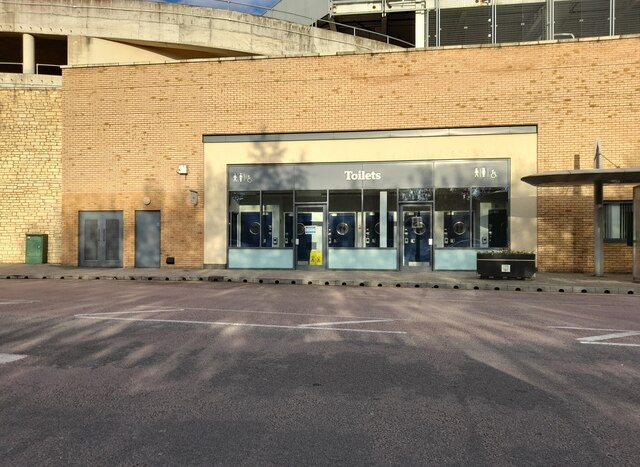
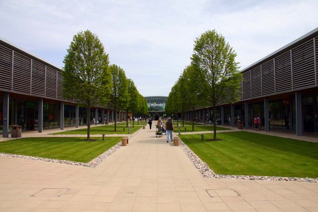
Bicester Village

Bicester Village is a designer outlet shopping centre on the outskirts of Bicester, a town in Oxfordshire, England. It is owned by Value Retail plc. The...

Cooper School, Bicester

The Cooper School is a co-educational secondary school and sixth form with academy status, located in the northern side of Bicester, Oxfordshire. ��2...

Bicester Village railway station

Bicester Village (2015–present, previously Bicester Town 1987–2014, Bicester London Road 1954–1968, Bicester 1850–1954) is one of two railway stations...

Bicester Avenue

Bicester Avenue Home and Garden Centre is a shopping centre in Bicester, Oxfordshire, England, that opened in May 2007. Some of the stores at Bicester...

Nearby Amenities

Located within 500m of 51.903067,-1.163906
Crossing
Crossing: uncontrolled
Lat/Long: 51.9069913/-1.1656718
Turning Circle
Lat/Long: 51.9071034/-1.1656031
Turning Circle
Lat/Long: 51.9068307/-1.1634561
Post Box
Post Box Type: pillar
Ref: OX26 376D
Royal Cypher: GVIR
Royal Cypher Wikidata: Q33102169
Lat/Long: 51.9059055/-1.1616315
Post Box
Post Box Type: pillar
Ref: OX26 782
Royal Cypher: EIIR
Royal Cypher Wikidata: Q33102113
Lat/Long: 51.8994981/-1.1648766
Morrisons Daily
Addr City: Bicester
Addr Country: GB
Addr Housenumber: 56-58
Addr Postcode: OX26 2BB
Addr Street: Villiers Road
Brand: Morrisons Daily
Brand Wikidata: Q99752411
Fhrs Id: 433727
Operator: McColl's
Operator Wikidata: Q16997477
Shop: convenience
Website: https://my.morrisons.com/storefinder/60609/morrisons-daily-bicester-villiers-road
Lat/Long: 51.8994264/-1.1651162
Turning Circle
Lat/Long: 51.9066892/-1.1626223
Pub
Highfield Social Club
Addr City: Bicester
Addr Postcode: OX26 2EE
Lat/Long: 51.9061938/-1.1658553
Recycling
Lat/Long: 51.906045/-1.1653675
Turning Circle
Lat/Long: 51.9069842/-1.1643963
One Stop
Addr City: Bicester
Addr Housename: The Star
Addr Postcode: OX26 2DG
Addr Street: Bucknell Road
Addr Unit: Unit 1
Brand: One Stop
Brand Wikidata: Q65954217
Check Date: 2023-08-21
Fhrs Id: 1293155
Fhrs Local Authority Id: 20/00255/C
Level: 0
Opening Hours: 07:00-22:00
Shop: convenience
Lat/Long: 51.9046282/-1.159939
Removed Amenity: telephone
Lat/Long: 51.90635/-1.1623009
Turning Circle
Lat/Long: 51.9066984/-1.1607606
Noexit: yes
Lat/Long: 51.9042257/-1.1667162
Noexit: yes
Lat/Long: 51.9039308/-1.1672577
Post Box
Ref: OX26 875D
Royal Cypher: EIIR
Lat/Long: 51.9051491/-1.1703637
Turning Circle
Lat/Long: 51.9043253/-1.1697176
Turning Circle
Lat/Long: 51.9047438/-1.1679046
Noexit: yes
Lat/Long: 51.9046351/-1.1658905
Turning Circle
Lat/Long: 51.9039401/-1.1616
Note: depot
Lat/Long: 51.9050907/-1.1648867
Crossing: informal
Lat/Long: 51.9010311/-1.1693201
Post Box
Post Box Type: lamp
Ref: OX26 889D
Royal Cypher: EIIR
Lat/Long: 51.9028712/-1.1661926
Crossing: informal
Lat/Long: 51.9013675/-1.1670541
Noexit: yes
Lat/Long: 51.9022714/-1.1663212
Bus Stop
Villiers Road
Bus: yes
Naptan AtcoCode: 340000926KRC
Naptan Bearing: N
Naptan CommonName: Villiers Road
Naptan Indicator: Northbound
Naptan Landmark: Villiers Road
Naptan NaptanCode: oxfapdwa
Naptan Street: Villiers Road
Naptan Verified: no
Public Transport: platform
Shelter: no
Source: naptan_import
Tactile Paving: no
Lat/Long: 51.8986024/-1.1644945
Villiers Road
Naptan AtcoCode: 340000926OPP
Naptan Bearing: S
Naptan BusStopType: CUS
Naptan CommonName: Villiers Road
Naptan Indicator: Southbound
Naptan Landmark: Villiers Road
Naptan NaptanCode: oxfapdtw
Naptan Street: Villiers Road
Naptan Verified: no
Source: naptan_import
Lat/Long: 51.8986996/-1.1642601
Bus Stop
Post Office
Bus: yes
Naptan AtcoCode: 340001556OPP
Naptan Bearing: E
Naptan CommonName: Post Office
Naptan Indicator: Opposite
Naptan Landmark: Post Office
Naptan NaptanCode: oxfgdmgm
Naptan Street: Kingsclere Road
Naptan Verified: no
Public Transport: platform
Source: naptan_import
Lat/Long: 51.9000606/-1.1659936
Bus Stop
Post Office
Bus: yes
Naptan AtcoCode: 340001556OUT
Naptan Bearing: W
Naptan CommonName: Post Office
Naptan Indicator: Outside
Naptan Landmark: Post Office
Naptan NaptanCode: oxfgdmgj
Naptan Street: Kingsclere Road
Naptan Verified: no
Public Transport: platform
Source: naptan_import
Lat/Long: 51.8998885/-1.1658078
Bus Stop
The Approach
Bench: no
Bin: no
Bus: yes
Naptan AtcoCode: 340001563HUD
Naptan Bearing: SW
Naptan CommonName: The Approach
Naptan Indicator: The Crescent
Naptan Landmark: The Approach
Naptan NaptanCode: oxfgdmdp
Naptan Street: The Approach
Public Transport: platform
Shelter: yes
Source: naptan_import
Lat/Long: 51.9042677/-1.1608135
Bus Stop
The Approach
Naptan AtcoCode: 340001563WES
Naptan Bearing: NE
Naptan BusStopType: CUS
Naptan CommonName: The Approach
Naptan Indicator: West Street
Naptan Landmark: The Approach
Naptan NaptanCode: oxfgdmdm
Naptan Street: West Street
Naptan Verified: no
Public Transport: platform
Source: naptan_import
Lat/Long: 51.9042418/-1.161025
Bus Stop
Bicester Community College
Bus: yes
Naptan AtcoCode: 340001797COL
Naptan Bearing: N
Naptan CommonName: Bicester Community College
Naptan Indicator: Outside
Naptan Landmark: College
Naptan NaptanCode: oxfagd
Naptan Street: Queens Avenue
Naptan Verified: no
Public Transport: platform
Source: naptan_import
Lat/Long: 51.9004697/-1.1590384
Bus Stop
Brookside School
Bus: yes
Naptan AtcoCode: 340003076OPP
Naptan Bearing: SE
Naptan CommonName: Brookside School
Naptan Indicator: Opposite
Naptan Landmark: School
Naptan NaptanCode: oxfawdtg
Naptan Street: Bucknell Road
Naptan Verified: no
Public Transport: platform
Source: naptan_import
Lat/Long: 51.903078/-1.1578995
Bus Stop
Brookside School
Bus: yes
Naptan AtcoCode: 340003076OUT
Naptan Bearing: NW
Naptan CommonName: Brookside School
Naptan Indicator: Outside
Naptan Landmark: School
Naptan NaptanCode: oxfawdtd
Naptan Street: Bucknell Road
Naptan Verified: no
Public Transport: platform
Shelter: no
Source: naptan_import
Lat/Long: 51.9020283/-1.1569598
Bus Stop
The Star PH
Bench: no
Bin: no
Bus: yes
Naptan AtcoCode: 340003077OPP
Naptan Bearing: NW
Naptan CommonName: The Star PH
Naptan Indicator: Opposite
Naptan Landmark: The Star PH
Naptan NaptanCode: oxfawdta
Naptan Street: Bucknell Road
Public Transport: platform
Shelter: no
Source: naptan_import
Lat/Long: 51.9047601/-1.1605136
Bus Stop
The Star PH
Bench: no
Bin: no
Check Date: 2023-08-21
Naptan AtcoCode: 340003077OUT
Naptan Bearing: SE
Naptan BusStopType: CUS
Naptan CommonName: The Star PH
Naptan Indicator: Outside
Naptan Landmark: The Star PH
Naptan NaptanCode: oxfgadtj
Naptan Street: Bucknell Road
Public Transport: platform
Shelter: no
Source: naptan_import
Lat/Long: 51.9046923/-1.1602623
Bus Stop
Danes Road
Bench: no
Bin: no
Bus: yes
Naptan AtcoCode: 340003082OPP
Naptan Bearing: S
Naptan CommonName: Danes Road
Naptan Indicator: Opposite
Naptan Landmark: Danes Road
Naptan NaptanCode: oxfawdpa
Naptan Street: Leach Road
Public Transport: platform
Shelter: yes
Source: naptan_import
Lat/Long: 51.9020702/-1.166625
Bus Stop
Orchard Way
Bus: yes
Naptan AtcoCode: 340003083OPP
Naptan Bearing: W
Naptan CommonName: Orchard Way
Naptan Indicator: Opposite
Naptan Landmark: Orchard Way
Naptan NaptanCode: oxfawdmw
Naptan Street: Blenheim Drive
Naptan Verified: no
Public Transport: platform
Source: naptan_import
Lat/Long: 51.9032539/-1.1674461
Bus Stop
Orchard Way
Bus: yes
Naptan AtcoCode: 340003083OUT
Naptan Bearing: E
Naptan CommonName: Orchard Way
Naptan Indicator: Outside
Naptan Landmark: Orchard Way
Naptan NaptanCode: oxfawdgt
Naptan Street: Blenheim Drive
Naptan Verified: no
Public Transport: platform
Source: naptan_import
Lat/Long: 51.9033828/-1.1678798
Bus Stop
George Street
Naptan AtcoCode: 340003086CNR
Naptan Bearing: NE
Naptan BusStopType: CUS
Naptan CommonName: George Street
Naptan Indicator: Leach Rd Northbound
Naptan Landmark: George Street
Naptan NaptanCode: oxfatdmd
Naptan Street: Leach Road
Naptan Verified: no
Public Transport: platform
Source: naptan_import
Lat/Long: 51.9037368/-1.1645743
Bus Stop
George Street
Bench: no
Bin: no
Bus: yes
Check Date: 2023-08-21
Naptan AtcoCode: 340003086GEO
Naptan Bearing: SW
Naptan CommonName: George Street
Naptan Indicator: Leach Rd Southbound
Naptan Landmark: George Street
Naptan NaptanCode: oxfawdmg
Naptan Street: Leach Road
Public Transport: platform
Shelter: no
Source: naptan_import
Lat/Long: 51.9035868/-1.164711
Bus Stop
Fane Close
Bus: yes
Naptan AtcoCode: 340004143CNR
Naptan Bearing: SE
Naptan CommonName: Fane Close
Naptan Indicator: Corner
Naptan Landmark: Footpath
Naptan NaptanCode: oxfgmdgj
Naptan Street: Bucknell Road
Naptan Verified: no
Public Transport: platform
Source: naptan_import
Lat/Long: 51.906772/-1.163994
Traffic Calming: bump
Lat/Long: 51.8990503/-1.1633741
Traffic Calming: bump
Lat/Long: 51.8987996/-1.1625014
Traffic Calming: bump
Lat/Long: 51.899328/-1.1641395
Traffic Calming: bump
Lat/Long: 51.8996276/-1.1649603
Traffic Calming: bump
Lat/Long: 51.9002725/-1.166716
Check Date: 2023-08-21
Surface: asphalt
Traffic Calming: hump
Lat/Long: 51.903941/-1.1639014
Citywide Bucharest
Addr Housenumber: 46
Addr Postcode: OX26 2LB
Addr Street: Ashby Road
Email: adrian29marius@icloud.com
Internet Access: wlan
Opening Hours: Mo-Su 10:00-16:00
Operator: Ady English
Phone: +44 7738223497
Tourism: guest_house
Website: http://www.adyenglish.co.uk
Lat/Long: 51.9012851/-1.1642056
Bicester Bowl
Leisure: bowling_alley
Lat/Long: 51.9015336/-1.1590804
Recycling
Recycling Clothes: yes
Recycling Glass Bottles: yes
Recycling Shoes: yes
Recycling Type: container
Lat/Long: 51.8992037/-1.1649574
Recycling
Recycling Glass: yes
Recycling Type: container
Lat/Long: 51.9019086/-1.1594213
Recycling
Location: overground
Recycling Type: container
Lat/Long: 51.8992037/-1.1649574
Addr Housenumber: 75
Addr Street: Danes Road
Survey Date: 2020-04-22
Lat/Long: 51.9006597/-1.1700353
Addr Housenumber: 49
Addr Street: Danes Road
Survey Date: 2020-04-22
Lat/Long: 51.9014165/-1.1693427
Addr Housenumber: 47
Addr Street: Danes Road
Survey Date: 2020-04-22
Lat/Long: 51.9014917/-1.1692865
Addr Housenumber: 45
Addr Street: Danes Road
Survey Date: 2020-04-22
Lat/Long: 51.9015789/-1.1692272
Addr Housenumber: 82
Addr Street: Danes Road
Survey Date: 2020-04-22
Lat/Long: 51.9016768/-1.1693967
Addr Housenumber: 43
Addr Street: Danes Road
Survey Date: 2020-04-22
Lat/Long: 51.9016549/-1.1691695
Addr Housenumber: 41
Addr Street: Danes Road
Survey Date: 2020-04-22
Lat/Long: 51.9017253/-1.1691263
Addr Housenumber: 37
Addr Street: Danes Road
Survey Date: 2020-04-22
Lat/Long: 51.901806/-1.1690728
Addr Housenumber: 50
Addr Street: Leach Road
Survey Date: 2020-04-22
Lat/Long: 51.9009774/-1.1671629
Addr Housenumber: 48
Addr Street: Leach Road
Survey Date: 2020-04-22
Lat/Long: 51.9008697/-1.167169
Addr Housenumber: 42
Addr Street: Leach Road
Survey Date: 2020-04-22
Lat/Long: 51.9007659/-1.1671252
Addr Housenumber: 38
Addr Street: Leach Road
Survey Date: 2020-04-22
Lat/Long: 51.9006858/-1.167063
Addr Housenumber: 34
Addr Street: Leach Road
Survey Date: 2020-04-22
Lat/Long: 51.9005004/-1.1668573
Addr Housenumber: 93
Addr Street: Kingsclere Road
Survey Date: 2020-04-22
Lat/Long: 51.8999578/-1.1654759
Addr Housenumber: 91
Addr Street: Kingsclere Road
Survey Date: 2020-04-22
Lat/Long: 51.8999059/-1.1653248
Addr Housenumber: 85
Addr Street: Kingsclere Road
Survey Date: 2020-04-22
Lat/Long: 51.8998296/-1.1650367
Addr Housenumber: 83
Addr Street: Kingsclere Road
Survey Date: 2020-04-22
Lat/Long: 51.8997975/-1.1649502
Addr Housenumber: 81
Addr Street: Kingsclere Road
Survey Date: 2020-04-22
Lat/Long: 51.8997122/-1.1647203
Addr Housenumber: 79
Addr Street: Kingsclere Road
Survey Date: 2020-04-22
Lat/Long: 51.8996574/-1.1645726
Addr Housenumber: 77
Addr Street: Kingsclere Road
Survey Date: 2020-04-22
Lat/Long: 51.899599/-1.1644153
Addr Housenumber: 75
Addr Street: Kingsclere Road
Survey Date: 2020-04-22
Lat/Long: 51.8995345/-1.1642414
Addr Housenumber: 82
Addr Street: Kingsclere Road
Survey Date: 2020-04-22
Lat/Long: 51.8993319/-1.1643381
Generator Method: photovoltaic
Generator Output Electricity: yes
Generator Source: solar
Generator Type: solar_photovoltaic_panel
Location: roof
Power: generator
Lat/Long: 51.9008623/-1.1690837
Generator Method: photovoltaic
Generator Output Electricity: yes
Generator Source: solar
Generator Type: solar_photovoltaic_panel
Location: roof
Power: generator
Lat/Long: 51.9018652/-1.1680698
Generator Method: photovoltaic
Generator Output Electricity: yes
Generator Source: solar
Generator Type: solar_photovoltaic_panel
Location: roof
Power: generator
Lat/Long: 51.9029178/-1.1694083
Generator Method: photovoltaic
Generator Output Electricity: yes
Generator Source: solar
Generator Type: solar_photovoltaic_panel
Location: roof
Power: generator
Lat/Long: 51.9023589/-1.1660719
Generator Method: photovoltaic
Generator Output Electricity: yes
Generator Source: solar
Generator Type: solar_photovoltaic_panel
Location: roof
Power: generator
Lat/Long: 51.8986015/-1.1639446
Generator Method: photovoltaic
Generator Output Electricity: yes
Generator Source: solar
Generator Type: solar_photovoltaic_panel
Location: roof
Power: generator
Lat/Long: 51.898815/-1.1642101
Generator Method: photovoltaic
Generator Output Electricity: yes
Generator Source: solar
Generator Type: solar_photovoltaic_panel
Location: roof
Power: generator
Lat/Long: 51.8988945/-1.1634484
Generator Method: photovoltaic
Generator Output Electricity: yes
Generator Source: solar
Generator Type: solar_photovoltaic_panel
Location: roof
Power: generator
Lat/Long: 51.8995019/-1.1660501
Generator Method: photovoltaic
Generator Output Electricity: yes
Generator Source: solar
Generator Type: solar_photovoltaic_panel
Location: roof
Power: generator
Lat/Long: 51.8995548/-1.1659884
Generator Method: photovoltaic
Generator Output Electricity: yes
Generator Source: solar
Generator Type: solar_photovoltaic_panel
Location: roof
Power: generator
Lat/Long: 51.8995896/-1.1659509
Generator Method: photovoltaic
Generator Output Electricity: yes
Generator Source: solar
Generator Type: solar_photovoltaic_panel
Location: roof
Power: generator
Lat/Long: 51.8998577/-1.1661091
Generator Method: photovoltaic
Generator Output Electricity: yes
Generator Source: solar
Generator Type: solar_photovoltaic_panel
Location: roof
Power: generator
Lat/Long: 51.8998296/-1.1660421
Generator Method: photovoltaic
Generator Output Electricity: yes
Generator Source: solar
Generator Type: solar_photovoltaic_panel
Location: roof
Power: generator
Lat/Long: 51.8998031/-1.1659643
Generator Method: photovoltaic
Generator Output Electricity: yes
Generator Source: solar
Generator Type: solar_photovoltaic_panel
Location: roof
Power: generator
Lat/Long: 51.89977/-1.1658812
Generator Method: photovoltaic
Generator Output Electricity: yes
Generator Source: solar
Generator Type: solar_photovoltaic_panel
Location: roof
Power: generator
Lat/Long: 51.8997402/-1.1658168
Generator Method: photovoltaic
Generator Output Electricity: yes
Generator Source: solar
Generator Type: solar_photovoltaic_panel
Location: roof
Power: generator
Lat/Long: 51.8997121/-1.165747
Generator Method: photovoltaic
Generator Output Electricity: yes
Generator Source: solar
Generator Type: solar_photovoltaic_panel
Location: roof
Power: generator
Lat/Long: 51.8991245/-1.1672464
Generator Method: photovoltaic
Generator Output Electricity: yes
Generator Source: solar
Generator Type: solar_photovoltaic_panel
Location: roof
Power: generator
Lat/Long: 51.9018785/-1.1693868
Generator Method: photovoltaic
Generator Output Electricity: yes
Generator Source: solar
Generator Type: solar_photovoltaic_panel
Location: roof
Power: generator
Lat/Long: 51.9015524/-1.1707199
Generator Method: photovoltaic
Generator Output Electricity: yes
Generator Source: solar
Generator Type: solar_photovoltaic_panel
Location: roof
Power: generator
Lat/Long: 51.9015773/-1.1706957
Generator Method: photovoltaic
Generator Output Electricity: yes
Generator Source: solar
Generator Type: solar_photovoltaic_panel
Location: roof
Power: generator
Lat/Long: 51.9023236/-1.1698428
Generator Method: photovoltaic
Generator Output Electricity: yes
Generator Source: solar
Generator Type: solar_photovoltaic_panel
Location: roof
Power: generator
Lat/Long: 51.9024196/-1.1702532
Generator Method: photovoltaic
Generator Output Electricity: yes
Generator Source: solar
Generator Type: solar_photovoltaic_panel
Location: roof
Power: generator
Lat/Long: 51.9030981/-1.1708942
Generator Method: photovoltaic
Generator Output Electricity: yes
Generator Source: solar
Generator Type: solar_photovoltaic_panel
Location: roof
Power: generator
Lat/Long: 51.9031279/-1.1708701
Generator Method: photovoltaic
Generator Output Electricity: yes
Generator Source: solar
Generator Type: solar_photovoltaic_panel
Location: roof
Power: generator
Lat/Long: 51.90307/-1.1697757
Generator Method: photovoltaic
Generator Output Electricity: yes
Generator Source: solar
Generator Type: solar_photovoltaic_panel
Location: roof
Power: generator
Lat/Long: 51.9042632/-1.1704007
Addr Housenumber: 66
Addr Street: Barry Avenue
Lat/Long: 51.9066839/-1.1604631
Addr Housenumber: 70
Addr Street: Barry Avenue
Lat/Long: 51.9067971/-1.1605762
Addr Housenumber: 74
Addr Street: Barry Avenue
Lat/Long: 51.9069018/-1.1608702
Addr Housenumber: 76
Addr Street: Barry Avenue
Lat/Long: 51.9068614/-1.1609589
Addr Housenumber: 68
Addr Street: Barry Avenue
Lat/Long: 51.9067308/-1.1605064
Addr Housenumber: 78
Addr Street: Barry Avenue
Lat/Long: 51.9067582/-1.1609972
Addr Housenumber: 80
Addr Street: Barry Avenue
Lat/Long: 51.9067234/-1.1610766
Addr Housenumber: 64
Addr Street: Barry Avenue
Lat/Long: 51.906548/-1.1606008
Addr Housenumber: 72
Addr Street: Barry Avenue
Lat/Long: 51.9068464/-1.1606355
House: detached
Ref GB Uprn: 10011878003
Lat/Long: 51.906623/-1.1598408
Barrier: cycle_barrier
Cycle Barrier: double
Cycle Barrier Installation: fixed
Lat/Long: 51.904099/-1.1594211
Information: route_marker
Tourism: information
Lat/Long: 51.9043288/-1.1590332
Description: 2K
Information: route_marker
Tourism: information
Lat/Long: 51.902837/-1.1662519
Information: route_marker
Tourism: information
Lat/Long: 51.9044701/-1.1603379
Check Date: 2023-08-21
Surface: asphalt
Traffic Calming: hump
Lat/Long: 51.9046226/-1.1622384
Barrier: kerb
Kerb: lowered
Lat/Long: 51.9044144/-1.1581323
Noexit: yes
Lat/Long: 51.904571/-1.1581822
Camera Mount: wall
Camera Type: dome
Check Date: 2023-08-21
Man Made: surveillance
Surveillance: outdoor
Surveillance Type: camera
Lat/Long: 51.9045518/-1.1598672
Give Way
Direction: forward
Lat/Long: 51.9045831/-1.1602877
Waste Basket
Check Date: 2023-08-21
Colour: red
Waste: trash
Lat/Long: 51.9045886/-1.1599625
Entrance: main
Lat/Long: 51.9045996/-1.1599711
Atm
Check Date: 2023-08-21
Operator: Tesco Bank
Lat/Long: 51.9045605/-1.1598778
Give Way
Direction: backward
Lat/Long: 51.9041581/-1.1613082
Give Way
Direction: backward
Lat/Long: 51.9041287/-1.161104
Nash's Bakery
Addr City: Bicester
Addr Housenumber: 52
Addr Postcode: OX26 2DW
Addr Street: Bucknell Road
Alt Name: Nashs Bakery
Check Date: 2023-08-21
Fhrs Id: 222673
Fhrs Local Authority Id: 999000015469
Level: 0
Shop: bakery
Lat/Long: 51.9047598/-1.1601059
Peter Goss Butchers Ltd
Addr City: Bicester
Addr Housenumber: 54
Addr Postcode: OX26 2DW
Addr Street: Bucknell Road
Check Date: 2023-08-21
Fhrs Id: 221968
Fhrs Local Authority Id: 999000015590
Level: 0
Operator: Peter Goss Butchers Ltd
Shop: butcher
Lat/Long: 51.9048007/-1.1601486
Francine's Salon
Addr City: Bicester
Addr Housenumber: 56
Addr Street: Bucknell Road
Check Date: 2023-08-21
Level: 0
Shop: hairdresser
Source Addr Housenumber: extrapolation
Lat/Long: 51.9048417/-1.1601913
C. S. Boswell
Addr City: Bicester
Addr Housenumber: 58
Addr Street: Bucknell Road
Check Date: 2023-08-21
Level: 0
Shop: funeral_directors
Source Addr Housenumber: extrapolation
Lat/Long: 51.9048826/-1.1602339
Check Date: 2023-08-21
Man Made: street_cabinet
Lat/Long: 51.903823/-1.1640418
Fire Hydrant
Emergency: fire_hydrant
Fixme: Check location #surveyme
Lat/Long: 51.9046781/-1.1602468
Surface: asphalt
Traffic Calming: hump
Lat/Long: 51.9043441/-1.1629143
Give Way
Direction: backward
Lat/Long: 51.9041289/-1.1633712
Give Way
Direction: forward
Lat/Long: 51.9042062/-1.1633752
Check Date: 2023-08-21
Communication Mobile Phone: yes
Man Made: mast
Tower Type: communication
Lat/Long: 51.9038203/-1.1641106
Check Date: 2023-08-21
Direction: forward
Traffic Sign: GB:811A
Lat/Long: 51.9039843/-1.163841
Check Date: 2023-08-21
Direction: backward
Traffic Sign: GB:615
Lat/Long: 51.9039203/-1.1639887
Give Way
Direction: forward
Lat/Long: 51.9029249/-1.1661354
Give Way
Direction: backward
Lat/Long: 51.9025599/-1.1662859
Give Way
Direction: forward
Lat/Long: 51.9020484/-1.1667653
Barrier: bollard
Lat/Long: 51.9011299/-1.1687135
The data included in this document is from www.openstreetmap.org. The data is made available under ODbL.

Have you been to Highfield?

Leave your review of Highfield below (or comments, questions and feedback).