Highfield

Settlement in Gloucestershire Forest of Dean

England

Highfield

Norchard Station, Dean Forest Railway
Norchard Station, Dean Forest Railway Credit: John Thorn

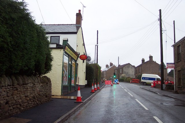
Highfield is a small village located in the county of Gloucestershire, England. Situated approximately 5 miles northwest of the city of Gloucester, Highfield is nestled in the picturesque countryside of the Severn Valley.

The village boasts a tranquil and idyllic setting, surrounded by rolling hills and green fields. It is known for its stunning natural beauty and offers residents and visitors alike a peaceful and serene environment. The nearby River Severn adds to the charm of the area, offering opportunities for scenic walks and picnics along its banks.

Despite its small size, Highfield has a tight-knit community that is friendly and welcoming. The village has a primary school, a village hall, and a local pub, which serves as a hub for social gatherings and events. The pub also offers traditional English cuisine and a cozy atmosphere for locals and visitors to enjoy.

Highfield is well-connected to the surrounding areas, with good road links to Gloucester and other nearby towns. This allows residents easy access to amenities such as shops, restaurants, and leisure facilities.

For those seeking outdoor activities, Highfield offers an abundance of opportunities. The surrounding countryside is perfect for hiking, cycling, and horse riding, with several trails and bridleways to explore.

Overall, Highfield is a charming village that combines natural beauty with a strong sense of community. Its peaceful atmosphere and picturesque surroundings make it an ideal place to live or visit for those seeking a tranquil countryside experience.

If you have any feedback on the listing, please let us know in the comments section below.
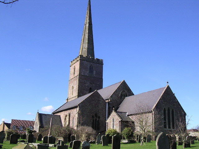
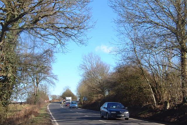
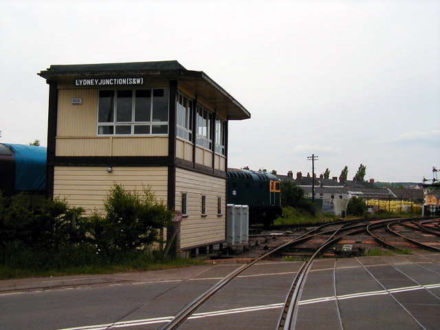
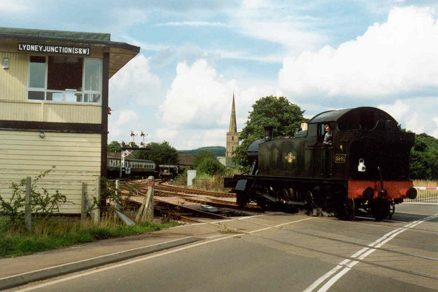
Highfield Images

Images are sourced within 2km of 51.732255/-2.5200278 or Grid Reference SO6403. Thanks to Geograph Open Source API. All images are credited.

Norchard Station, Dean Forest Railway
Lydney.  St. Mary's
Lydney. St. Mary's
Naas Court nr Lydney I always thought it would be more impressive.
Naas Court nr Lydney
I always thought it would be more impressive.
A48 , North of Lydney This view is looking towards the SW.
A48 , North of Lydney
This view is looking towards the SW.
Thompson and Thompson, Lydney Looking East across what was the old A48.
Thompson and Thompson, Lydney
Looking East across what was the old A48.
Milestone - 11 Miles to Chepstow on the A48 Hardly noticeable on the left between Blakeney and Lydney. It is in the right foreground of this photograph. Defaced.
Milestone - 11 Miles to Chepstow on the A48
Hardly noticeable on the left between Blakeney and Lydney. It is in the right foreground of this photograph. Defaced.
Lydney Junction Signalbox Now in use by the Dean Forest Railway
Lydney Junction Signalbox
Now in use by the Dean Forest Railway
Lydney Junction Signal Box GWR engine No. 5541 crosses the road at Lydney
Lydney Junction Signal Box
GWR engine No. 5541 crosses the road at Lydney
Lydney & District Hospital.
Street scene in Lydney The row of shops opposite are mainly eateries of varying kinds.
Street scene in Lydney
The row of shops opposite are mainly eateries of varying kinds.
Crump Farm Down a lane out of Lydney.
Crump Farm
Down a lane out of Lydney.
Severnbanks Primary School, Lydney
Primrose Hill Post Office.
Converted barn at Soilwell Note the roof level and gutter don't run parallel.
Converted barn at Soilwell
Note the roof level and gutter don't run parallel.
Tree down in the road. After the storms of the previous days.
Tree down in the road.
After the storms of the previous days.
Gloucester to Chepstow Railway Line Picture showing the rich, fertile farmland of the Severn Vale. Almost half of this grid is the River Severn.
Gloucester to Chepstow Railway Line
Picture showing the rich, fertile farmland of the Severn Vale. Almost half of this grid is the River Severn.
Course of the old Railway Though it's difficult to see, a railway line used to run across the middle of this photograph. It used to run over the old Severn Railway bridge which linked Lydney to Sharpness.
Course of the old Railway
Though it's difficult to see, a railway line used to run across the middle of this photograph. It used to run over the old Severn Railway bridge which linked Lydney to Sharpness.
Nonchalant Fox This footpath is only recently made, Autumn 2006. The old path used to head through the woods, whilst the new one offers panoramic views of the Severn. In the centre of the photo is a fox that seemed quite unconcerned at me turning up.
Nonchalant Fox
This footpath is only recently made, Autumn 2006. The old path used to head through the woods, whilst the new one offers panoramic views of the Severn. In the centre of the photo is a fox that seemed quite unconcerned at me turning up.
Show me another place!

Highfield is located at Grid Ref: SO6403 (Lat: 51.732255, Lng: -2.5200278)

Administrative County: Gloucestershire

District: Forest of Dean

Police Authority: Gloucestershire

What 3 Words

///mailers.handy.policy. Near Lydney, Gloucestershire

Nearby Locations

Highfield

Related Wikis

Lydney

Lydney is a town and civil parish in Gloucestershire, England. It is on the west bank of the River Severn in the Forest of Dean District, and is 16 miles...

Allaston

Allaston is a village in Gloucestershire, England, now forming part of the town of Lydney. Allaston was mentioned in the Domesday Book, when it was part...

Lydney Rural District

Lydney was a rural district in Gloucestershire, England from 1894 to 1974. It covered an area on the Welsh border by the Severn estuary. It was formed...

Recreational Trust Ground

Recreational Trust Ground is a cricket ground in Lydney, Gloucestershire. The first inter-county match on the ground was in 1962, when the Gloucestershire...

Nearby Amenities

Located within 500m of 51.732255,-2.5200278
Bus Stop
Augustus Way
Naptan AtcoCode: 1600GL3122
Naptan Bearing: E
Naptan CommonName: Augustus Way
Naptan NaptanCode: gloajajt
Naptan Street: Centurion Rd
Naptan Verified: no
Source: naptan_import
Lat/Long: 51.7327227/-2.523947
Bus Stop
Centurion Road
Naptan AtcoCode: 1600GLF229
Naptan Bearing: SW
Naptan CommonName: Centurion Road
Naptan NaptanCode: gloajdap
Naptan Street: Highfield Rd
Naptan Verified: no
Source: naptan_import
Lat/Long: 51.7322281/-2.5199303
Bus Stop
Cross Hands
Naptan AtcoCode: 1600GLF230
Naptan Bearing: NE
Naptan CommonName: Cross Hands
Naptan NaptanCode: gloajawp
Naptan Street: Highfield Rd
Naptan Verified: no
Source: naptan_import
Lat/Long: 51.7328614/-2.5190397
Bus Stop
Kimberley Drive
Naptan AtcoCode: 1600GLF231
Naptan Bearing: SW
Naptan CommonName: Kimberley Drive
Naptan NaptanCode: gloajagt
Naptan Street: Highfield Rd
Naptan Verified: no
Shelter: no
Source: naptan_import
Lat/Long: 51.7306315/-2.523112
Bus Stop
Kimberley Drive
Naptan AtcoCode: 1600GLF232
Naptan Bearing: NE
Naptan CommonName: Kimberley Drive
Naptan Indicator: Opp
Naptan NaptanCode: gloajagw
Naptan Street: Highfield Rd
Naptan Verified: no
Source: naptan_import
Lat/Long: 51.7302406/-2.5240631
Bus Stop
Livia Way
Naptan AtcoCode: 1600GLF349
Naptan Bearing: W
Naptan BusStopType: CUS
Naptan CommonName: Livia Way
Naptan Indicator: Opp
Naptan NaptanCode: gloagwtj
Naptan Street: Centurion Rd
Naptan Verified: no
Source: naptan_import
Lat/Long: 51.7324992/-2.5256821
Bus Stop
Livia Way
Naptan AtcoCode: 1600GLF350
Naptan Bearing: E
Naptan CommonName: Livia Way
Naptan NaptanCode: gloagwtg
Naptan Street: Centurion Rd
Naptan Verified: no
Source: naptan_import
Lat/Long: 51.7326306/-2.5264511
Bus Stop
Beauchamp Meadow
Naptan AtcoCode: 1600GLF351
Naptan Bearing: NW
Naptan CommonName: Beauchamp Meadow
Naptan Indicator: Opp
Naptan NaptanCode: gloajapt
Naptan Street: Centurion Rd
Naptan Verified: no
Source: naptan_import
Lat/Long: 51.7327467/-2.5205734
Bus Stop
Beauchamp Meadow
Naptan AtcoCode: 1600GLF352
Naptan Bearing: SE
Naptan CommonName: Beauchamp Meadow
Naptan NaptanCode: gloajapw
Naptan Street: Centurion Rd
Naptan Verified: no
Source: naptan_import
Lat/Long: 51.7327029/-2.5203122
Bus Stop
Kimberley Close
Naptan AtcoCode: 1600GLF355
Naptan Bearing: SW
Naptan CommonName: Kimberley Close
Naptan Indicator: Opp
Naptan NaptanCode: gloajajm
Naptan Street: Kimberley Drive
Naptan Verified: no
Source: naptan_import
Lat/Long: 51.7283191/-2.5234618
Traffic Signals
Lat/Long: 51.7328739/-2.518815
Car Wash
Lat/Long: 51.7339455/-2.5152473
The data included in this document is from www.openstreetmap.org. The data is made available under ODbL.

Have you been to Highfield?

Leave your review of Highfield below (or comments, questions and feedback).