Greenwich
Settlement in Derbyshire Amber Valley
England
Greenwich

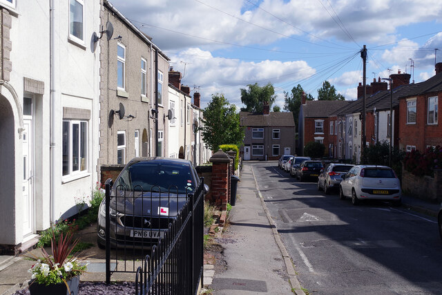
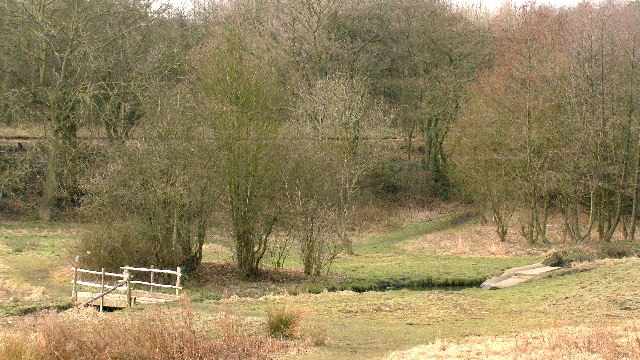
Greenwich is a small village located in Derbyshire, England. Situated in the Amber Valley district, it lies approximately 12 miles north of Derby, the county town. The village is nestled in a picturesque area, surrounded by rolling hills and beautiful countryside, offering residents and visitors a tranquil and scenic environment.
Greenwich is known for its rich history, dating back to medieval times. It was mentioned in the Domesday Book of 1086 and has retained its traditional charm over the centuries. The village is home to several historic buildings, including St. Mary's Church, which dates back to the 12th century. This beautiful church features stunning architecture and is a popular destination for history enthusiasts.
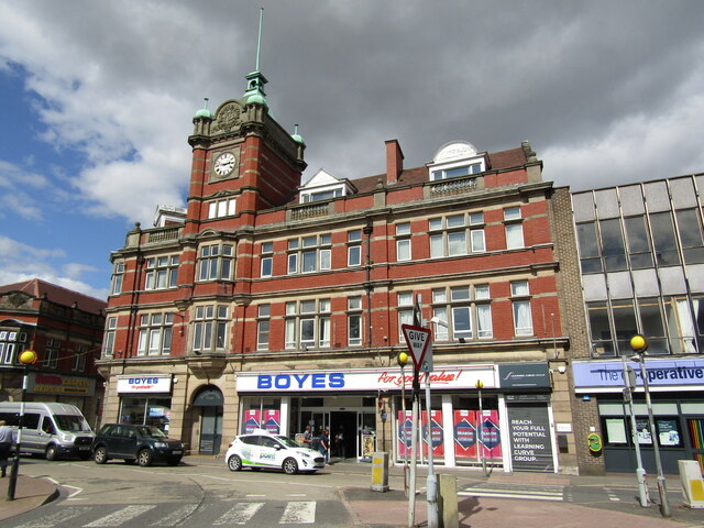
The village has a close-knit community and offers a range of amenities to its residents. There is a local primary school, Greenwich Primary School, providing education for young children. Additionally, the village has a few local shops, including a convenience store, providing essential goods and services.
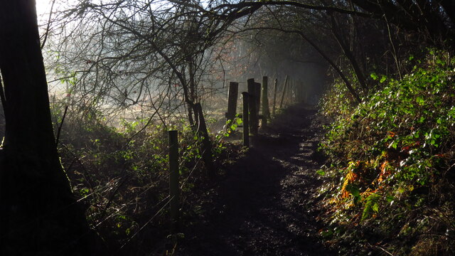
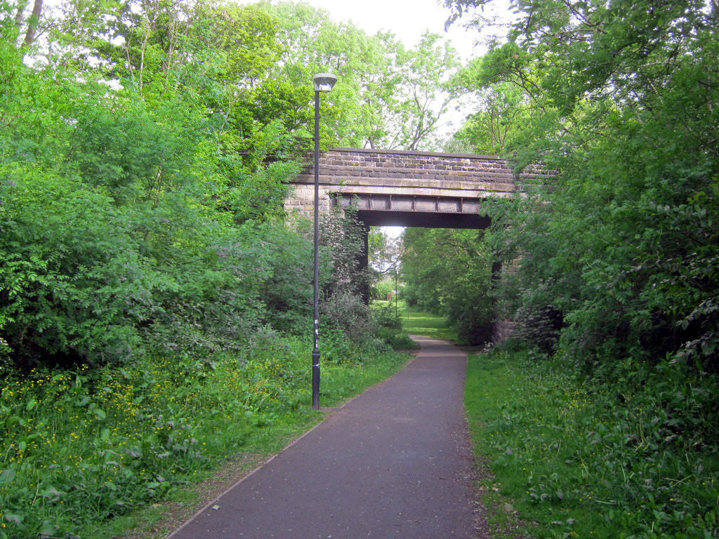
For outdoor enthusiasts, Greenwich offers ample opportunities for exploring the surrounding countryside. There are several walking and cycling trails that allow visitors to enjoy the natural beauty of the area. The nearby Peak District National Park is also within easy reach, offering further outdoor activities such as hiking, climbing, and wildlife spotting.
In summary, Greenwich is a charming village in Derbyshire, England, boasting a rich history, beautiful countryside, and a close-knit community. It provides a peaceful retreat for residents and visitors alike, with its historic buildings, picturesque landscapes, and access to outdoor activities.
If you have any feedback on the listing, please let us know in the comments section below.
Greenwich Images
Images are sourced within 2km of 53.051884/-1.3966013 or Grid Reference SK4050. Thanks to Geograph Open Source API. All images are credited.


Greenwich is located at Grid Ref: SK4050 (Lat: 53.051884, Lng: -1.3966013)
Administrative County: Derbyshire
District: Amber Valley
Police Authority: Derbyshire
What 3 Words
///nicely.inhales.ritual. Near Ripley, Derbyshire
Nearby Locations
Related Wikis
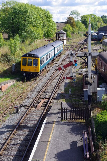
Ripley railway station
Ripley railway station was a railway station which served the town of Ripley in Derbyshire, England. It was opened in 1856 by the Midland Railway on its...

Amber Sound FM
Amber Sound FM is a Community Radio station based in the Amber Valley, Derbyshire, England. It was awarded a five-year community licence by OFCOM in 2008...
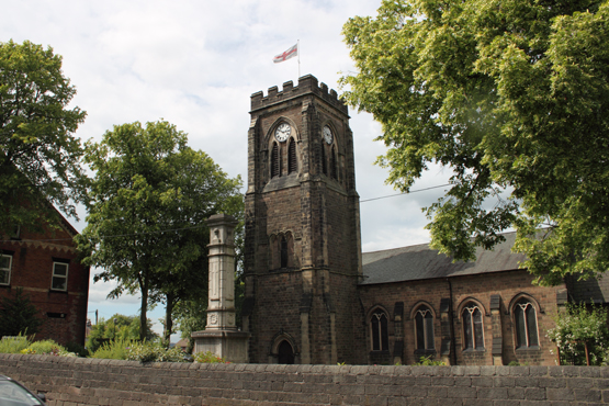
All Saints' Church, Ripley
All Saints’ Church, Ripley is a Grade II listed parish church in the Church of England in Ripley, Derbyshire. == History == The church dates from 1821...
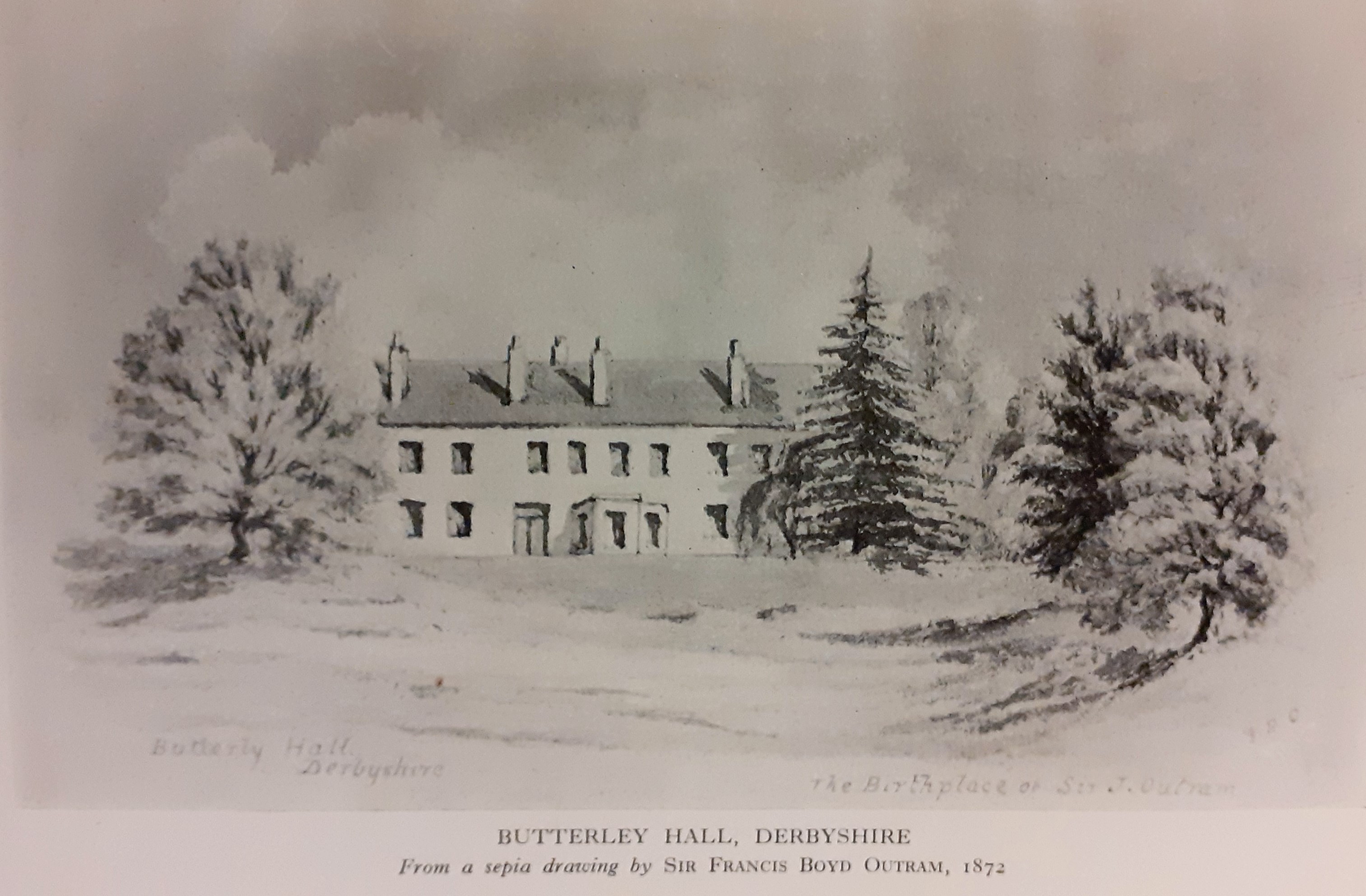
Butterley Hall
Butterley Hall is an 18th-century country house near Ripley, Derbyshire. It is a Grade II listed building. The site is now the headquarters of the Derbyshire...
Ripley, Derbyshire
Ripley is a town in the Amber Valley borough of Derbyshire, England. == History == Little information remains as to when Ripley was founded, but it appears...
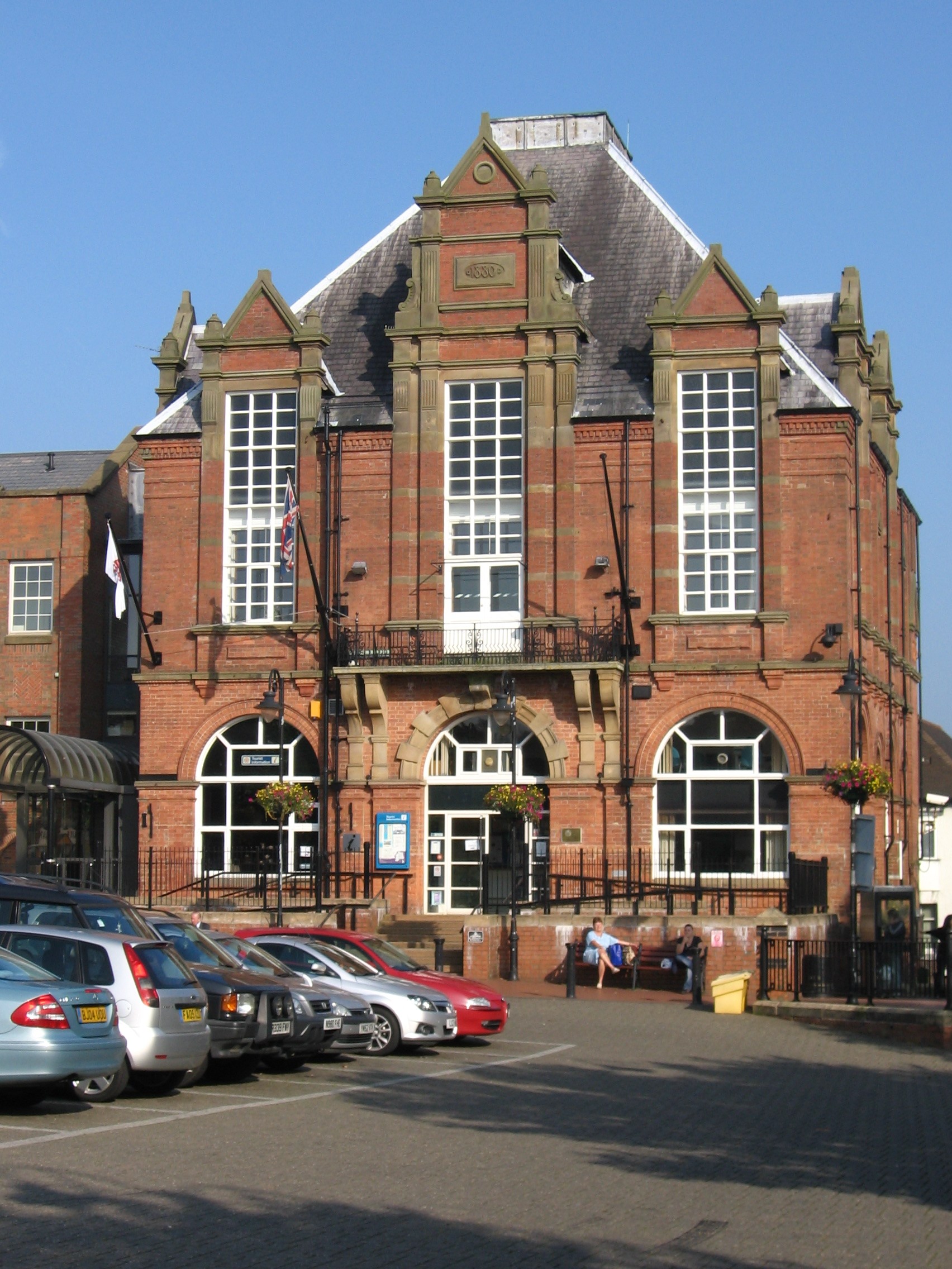
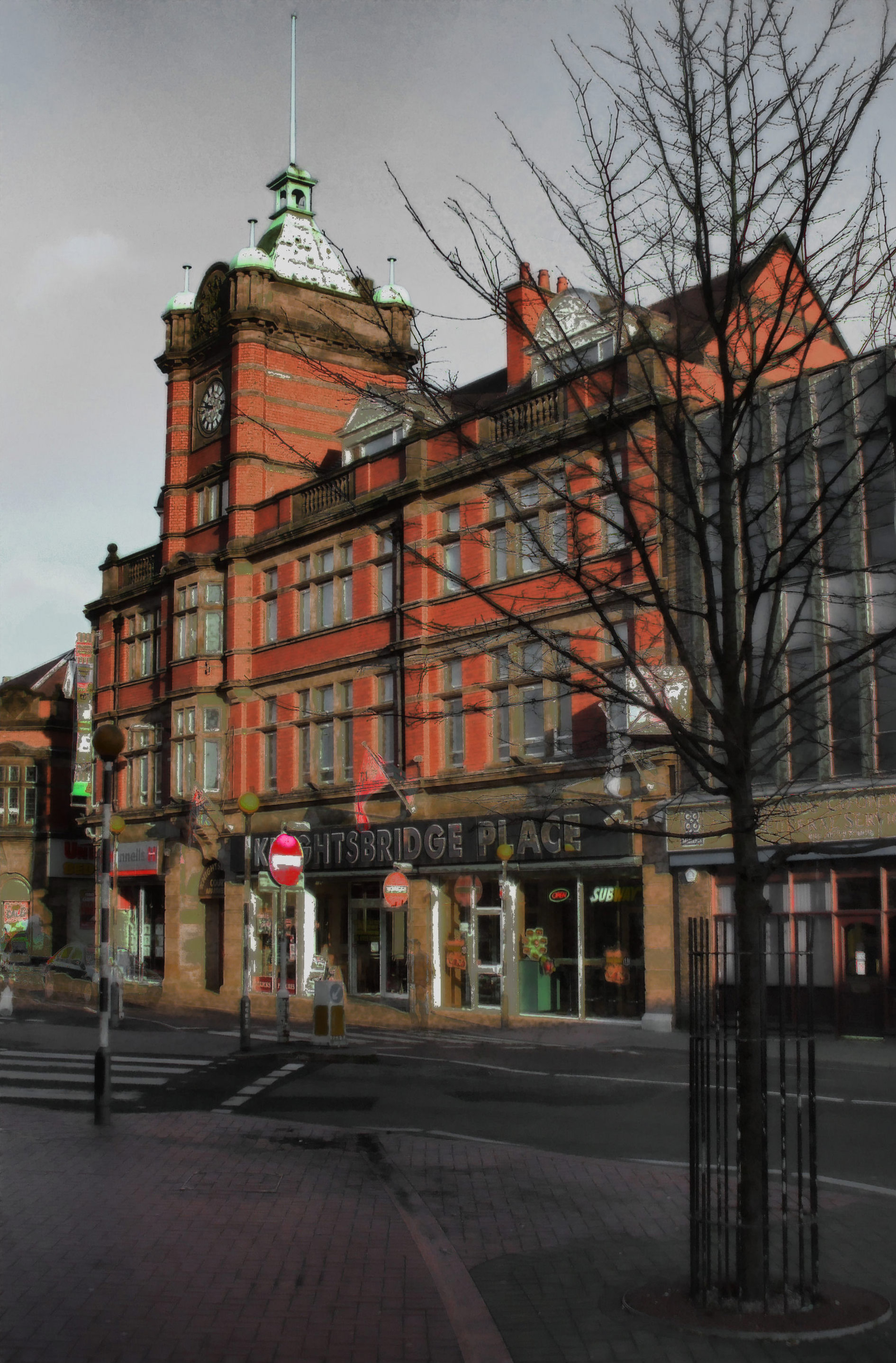
Ripley Town Hall
Ripley Town Hall is a municipal building in the Market Place, Ripley, Derbyshire, England. The town hall is the headquarters of Amber Valley Borough Council...
Swanwick Hall School
Swanwick Hall School is a mixed secondary school and sixth form located in Swanwick, Alfreton, Derbyshire, England. In 2004 Ofsted noted that the school...
Mill Hill School, Derbyshire
Mill Hill School was a secondary school and sixth form college located in Ripley, Derbyshire, England. The school was formed from the combination of Benjamin...
Nearby Amenities
Located within 500m of 53.051884,-1.3966013Have you been to Greenwich?
Leave your review of Greenwich below (or comments, questions and feedback).