Greenwall

Settlement in Lanarkshire

Scotland

Greenwall

Esso Filling Station on Main Street The price of petrol has gone up since the last picture was taken at this location!
Esso Filling Station on Main Street Credit: Stuart Logan

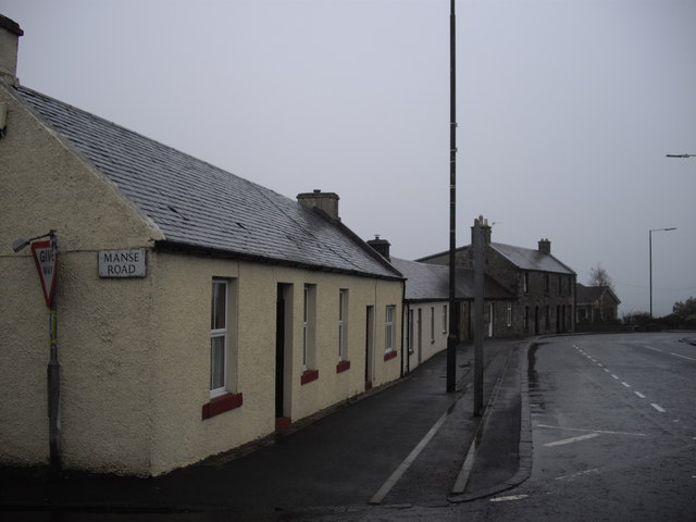
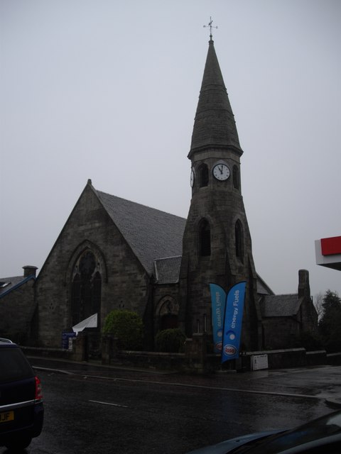
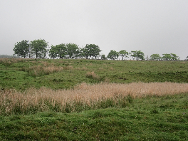
Greenwall is a small village located in the county of Lanarkshire, Scotland. Situated approximately 13 miles southeast of Glasgow, it is nestled within the picturesque countryside, surrounded by rolling hills and lush green fields. The village is part of the larger South Lanarkshire council area.

Greenwall is known for its tranquil and scenic setting, making it an ideal place for those seeking a peaceful rural lifestyle. The village is primarily residential, with a small population of around 500 residents. The community is close-knit, and the locals take great pride in maintaining the village's charm and character.

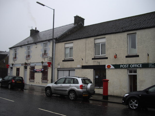
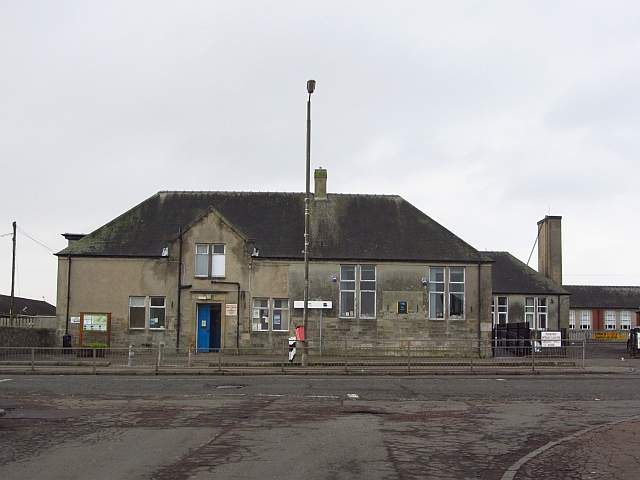
Despite its small size, Greenwall has some amenities to offer its residents. There is a local pub, providing a social hub for locals and visitors alike. Additionally, the village has a primary school, ensuring that families have access to education within the community.

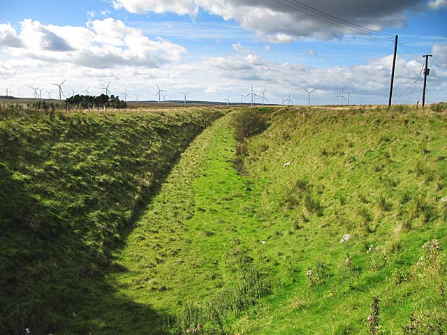
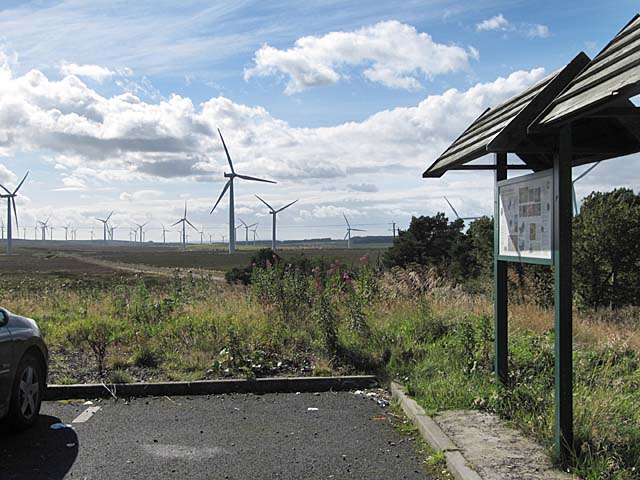
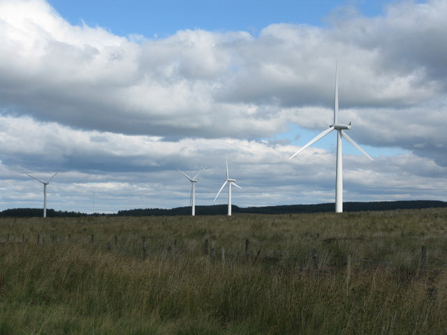
For those seeking outdoor activities, Greenwall is surrounded by stunning natural beauty. The nearby Clyde Valley offers opportunities for hiking, cycling, and exploring the countryside. Furthermore, the village is conveniently located near several golf courses, providing recreational options for golf enthusiasts.

Transport links to Greenwall are easily accessible, with regular bus services connecting the village to nearby towns and cities. The M74 motorway is also within close proximity, offering convenient access to Glasgow and other major cities in the central belt of Scotland.

In summary, Greenwall is a charming and peaceful village in Lanarkshire, offering a rural lifestyle and stunning natural surroundings.

If you have any feedback on the listing, please let us know in the comments section below.
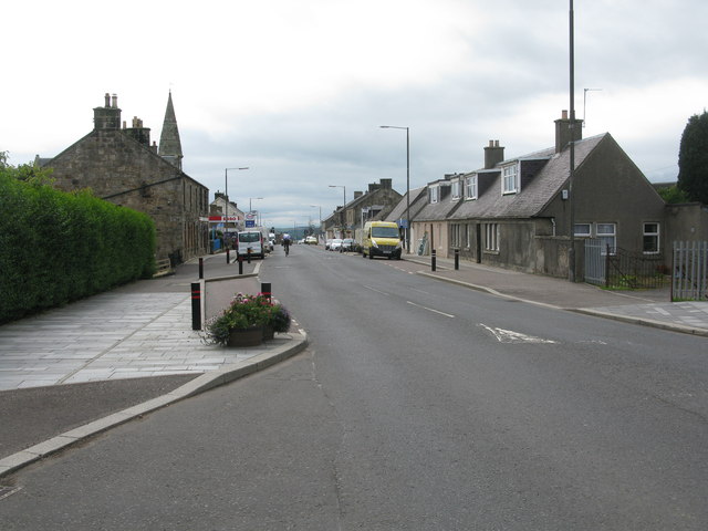
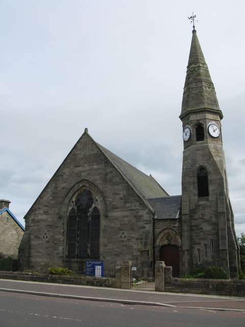
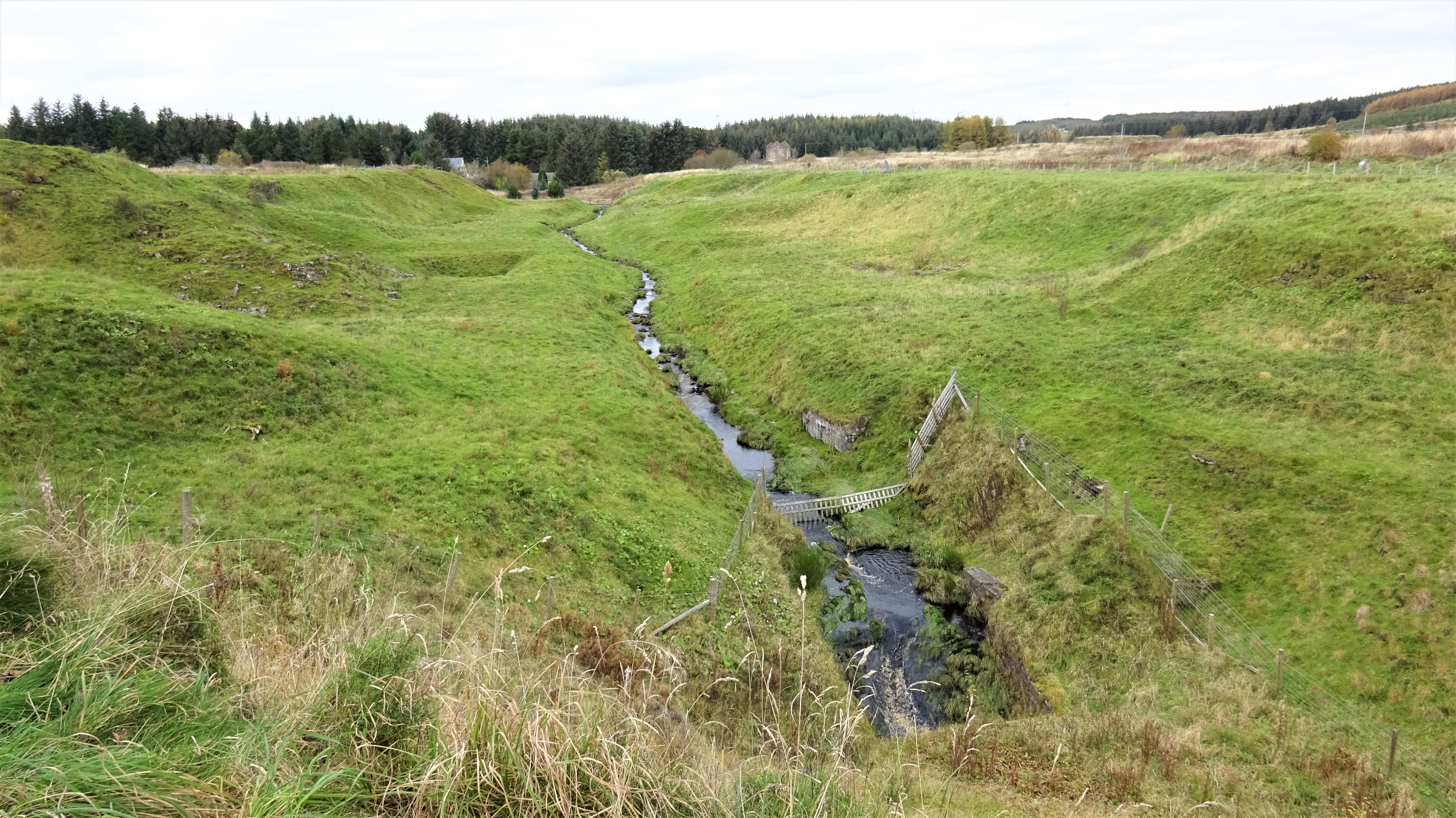
Greenwall Images

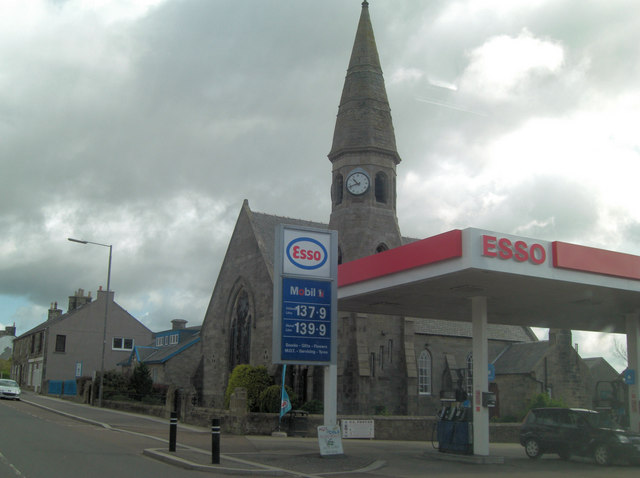
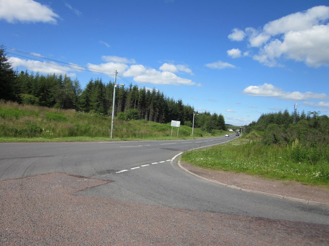
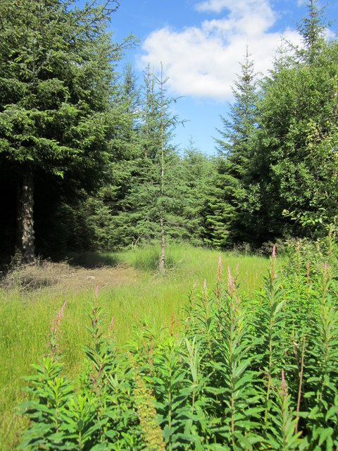
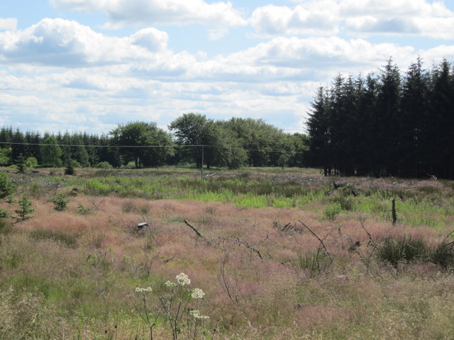
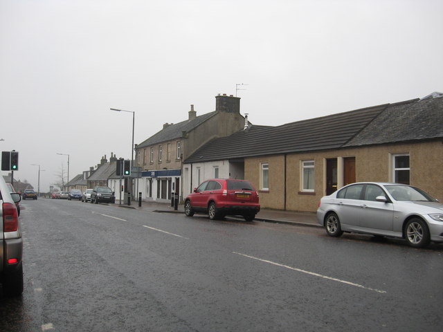
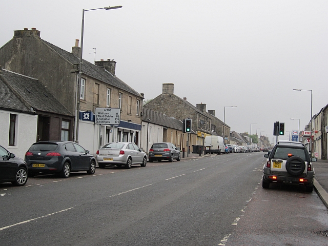
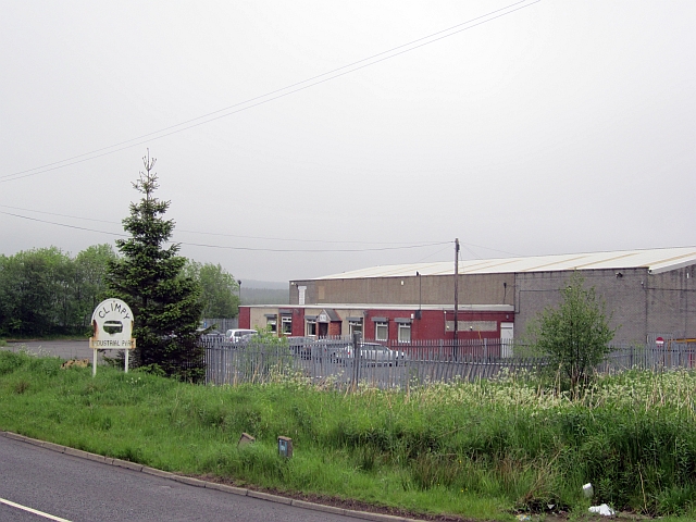
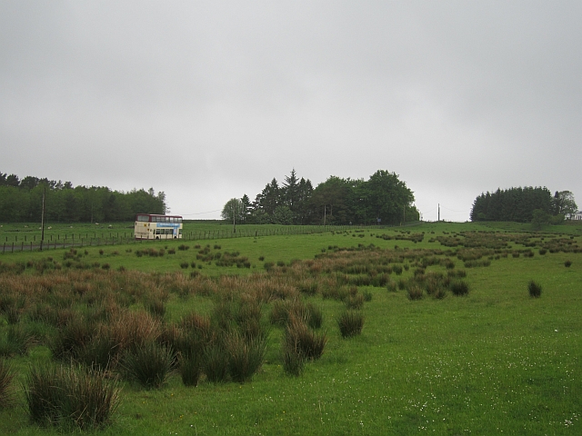
Images are sourced within 2km of 55.775851/-3.7050995 or Grid Reference NS9354. Thanks to Geograph Open Source API. All images are credited.

Esso Filling Station on Main Street The price of petrol has gone up since the last picture was taken at this location!
Esso Filling Station on Main Street
The price of petrol has gone up since the last picture was taken at this location!
Junction of A706 and B7016 at Wilsontown
Will I Grow to your size? Spindly trees among the more mature plantation at Heathland near Wilsontown
Will I Grow to your size?
Spindly trees among the more mature plantation at Heathland near Wilsontown
Fire break in heathland Plantation near to Wilsontown
Cottages in Forth
Cottages in Forth
Post Office & pub, Forth
St Paul's Church, Forth
Library, Forth Looking over Main Street towards the entrance to the library.
Library, Forth
Looking over Main Street towards the entrance to the library.
The Main Street in Forth, South Lanarkshire
Main Street, Forth
Main Street, Forth
Climpy Industrial Park Six years on from <a href="https://www.geograph.org.uk/photo/168241">NS9353 : Climpy Industrial Park</a> and little seems to have changed other than a loss of electrons from the iron in the sign - i.e. it has rusted.
Climpy Industrial Park
Six years on from NS9353 : Climpy Industrial Park and little seems to have changed other than a loss of electrons from the iron in the sign - i.e. it has rusted.
Grassland, Greenwall Wet ground, quite high up near Forth. The Irvine's Bus had just left Forth.
Grassland, Greenwall
Wet ground, quite high up near Forth. The Irvine's Bus had just left Forth.
Mine workings, Climpy Depressions in a field, probably due to digging bell pits.
Mine workings, Climpy
Depressions in a field, probably due to digging bell pits.
Track of dismantled railway near Climpy The railway served the coal mines around Climpy and closed in 1964
Track of dismantled railway near Climpy
The railway served the coal mines around Climpy and closed in 1964
View from Blacklaw Windfarm visitor car park
Black Law Wind Farm The eastern end of the wind farm on Hare Hill.
Black Law Wind Farm
The eastern end of the wind farm on Hare Hill.
Main Street, Forth Looking south along the A706, the main road from Lanark to Linlithgow.
Main Street, Forth
Looking south along the A706, the main road from Lanark to Linlithgow.
Forth St. Paul's Parish Church of Scotland On Main Street, Forth.
The clock in the church tower was erected by the people of Forth and District in memory of Dr. John Reid, M.D., J.P. in appreciation of his devoted service from 1900 - 1949.
Forth St. Paul's Parish Church of Scotland
On Main Street, Forth. The clock in the church tower was erected by the people of Forth and District in memory of Dr. John Reid, M.D., J.P. in appreciation of his devoted service from 1900 - 1949.
Show me another place!

Greenwall is located at Grid Ref: NS9354 (Lat: 55.775851, Lng: -3.7050995)

Unitary Authority: South Lanarkshire

Police Authority: Lanarkshire

What 3 Words

///moods.daylight.starfish. Near Forth, South Lanarkshire

Nearby Locations

Greenwall

Related Wikis

Forth, South Lanarkshire

Forth is a village in South Lanarkshire, Scotland with a population of around 3,500 people. It is situated near Lanark, and stands at around 950 feet...

Forth Wanderers F.C.

Forth Wanderers Football Club are a Scottish football club based in the village of Forth, South Lanarkshire. Formed in 1904 they compete in the West of...

Wilsontown railway station

Wilsontown railway station was the passenger terminus of the three and three quarter mile long Wilsontown Branch that ran from a bay platform at Auchengray...

Wilsontown Ironworks

The ruins of the Wilsontown Ironworks are located near the village of Forth in Lanarkshire in Scotland, approximately 23 miles (37 km) to the south east...

Nearby Amenities

Located within 500m of 55.775851,-3.7050995
Power: pole
Lat/Long: 55.7786058/-3.7102256
Power: pole
Lat/Long: 55.7780359/-3.7093278
Power: pole
Lat/Long: 55.7774909/-3.7084764
Power: pole
Lat/Long: 55.7769588/-3.7076312
Power: pole
Lat/Long: 55.7764444/-3.7071813
Power: pole
Lat/Long: 55.7759265/-3.7067188
Power: pole
Lat/Long: 55.7753672/-3.7062226
Power: pole
Lat/Long: 55.7747843/-3.705697
Power: pole
Lat/Long: 55.7741646/-3.7051441
Power: pole
Lat/Long: 55.7736975/-3.7045681
Power: pole
Lat/Long: 55.7732163/-3.7039668
Power: pole
Lat/Long: 55.7730909/-3.7037944
Power: pole
Lat/Long: 55.7727503/-3.7033739
Power: pole
Lat/Long: 55.7719155/-3.7087728
Power: pole
Lat/Long: 55.7716127/-3.7075618
Power: pole
Lat/Long: 55.7743881/-3.704198
Power: pole
Lat/Long: 55.7744461/-3.7039731
Power: pole
Lat/Long: 55.7747239/-3.7027852
Power: pole
Lat/Long: 55.7755576/-3.7048771
Power: pole
Lat/Long: 55.7761772/-3.7042338
Power: pole
Lat/Long: 55.7750137/-3.7015343
Power: pole
Lat/Long: 55.7752915/-3.7003864
Power: pole
Lat/Long: 55.7755907/-3.6994466
Power: pole
Lat/Long: 55.7761784/-3.6990934
Power: pole
Lat/Long: 55.7767116/-3.6997326
Power: pole
Lat/Long: 55.7773029/-3.6993205
Power: pole
Lat/Long: 55.7777829/-3.6995518
Power: pole
Lat/Long: 55.7782334/-3.6997641
Power: pole
Lat/Long: 55.7786425/-3.6999554
The data included in this document is from www.openstreetmap.org. The data is made available under ODbL.

Have you been to Greenwall?

Leave your review of Greenwall below (or comments, questions and feedback).