Greets Green
Settlement in Staffordshire
England
Greets Green
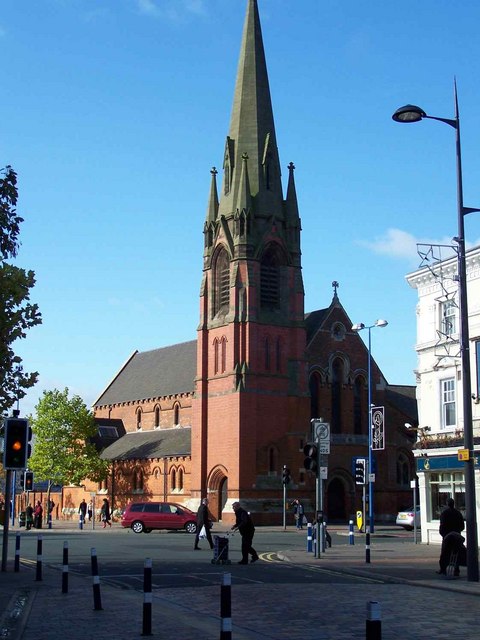
Greets Green is a small suburban area located in Staffordshire, England. It is situated approximately 1.5 miles northwest of the town center of West Bromwich. Historically, Greets Green was a rural area known for its open fields and farmlands, but with the growth of nearby towns and cities, it has transformed into a residential neighborhood.
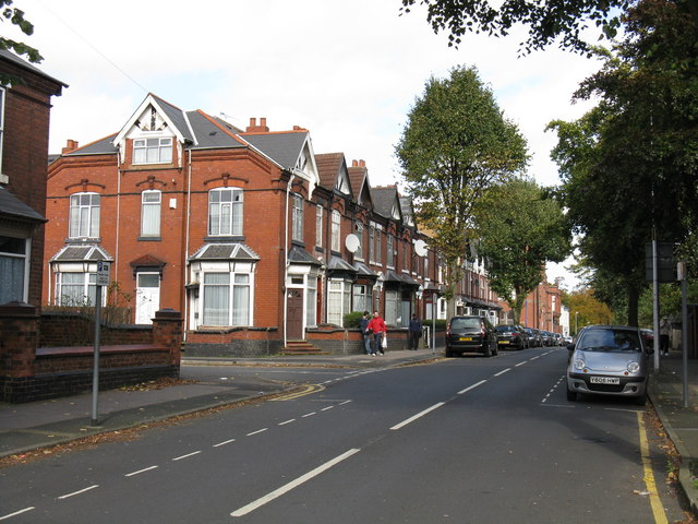
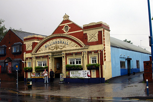
The area is primarily residential, featuring a mix of housing types including terraced houses, semi-detached houses, and some newer apartment complexes. The streets are lined with rows of houses, often with small front gardens and driveways. There are also a few local shops, convenience stores, and small businesses catering to the needs of the residents.
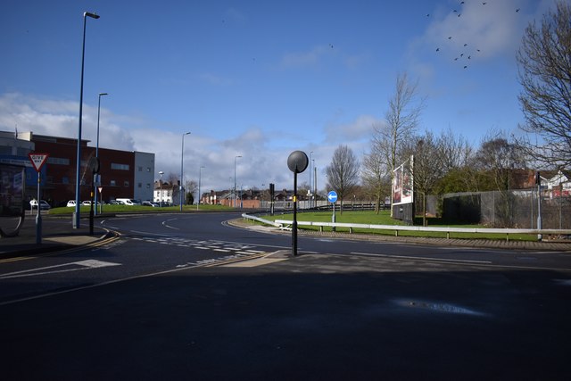
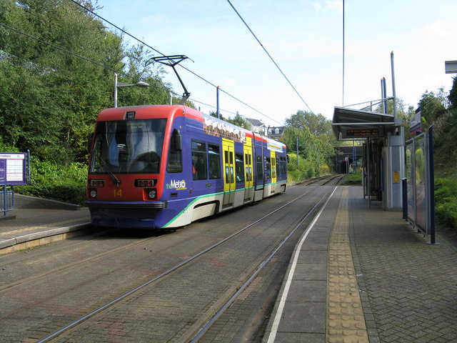
Greets Green benefits from its close proximity to West Bromwich, which offers a wider range of amenities including supermarkets, shopping centers, and leisure facilities. The area is well-connected to the rest of Staffordshire and the West Midlands region through a network of roads and public transportation options.
Within the neighborhood, there are several green spaces and parks where residents can enjoy outdoor activities and leisurely walks. One such park is the Greets Green Park, which features play areas, sports facilities, and open green spaces for recreational purposes.
Overall, Greets Green is a quiet and welcoming residential area, providing a sense of community and convenient access to nearby amenities.
If you have any feedback on the listing, please let us know in the comments section below.
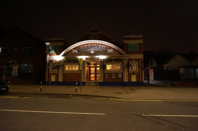
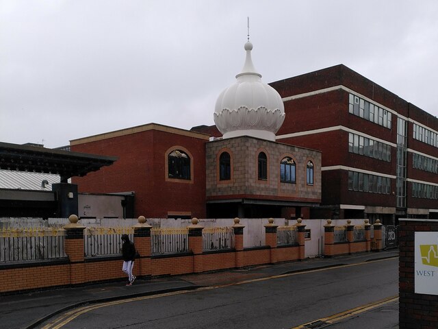
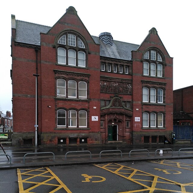
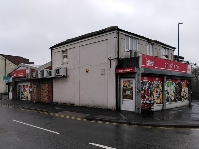
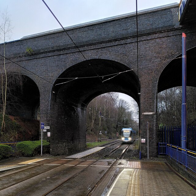
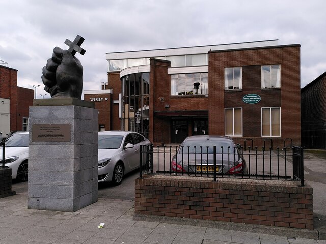
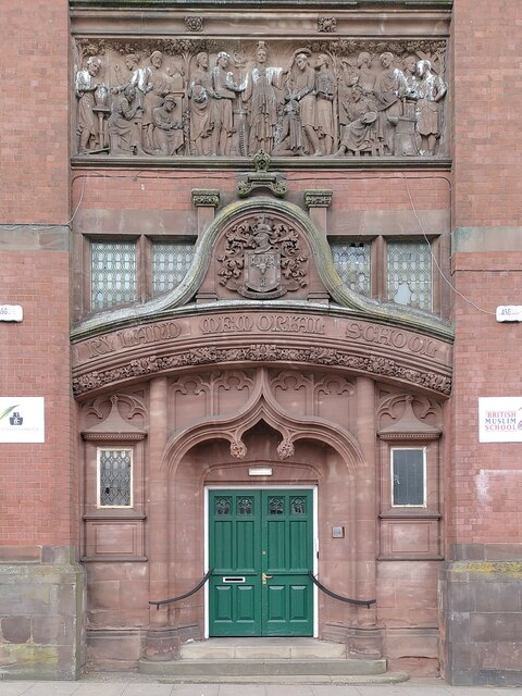
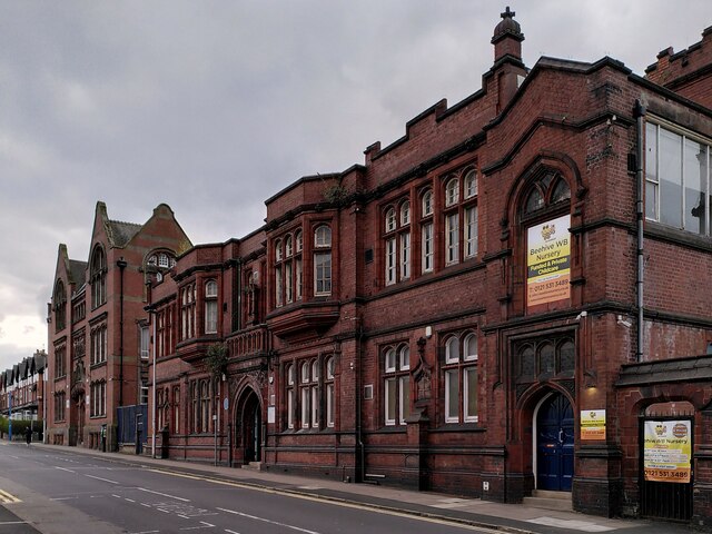
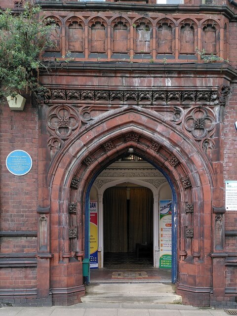
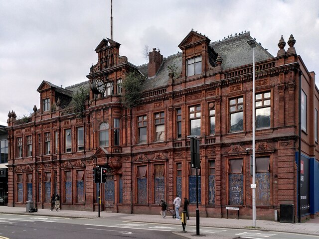
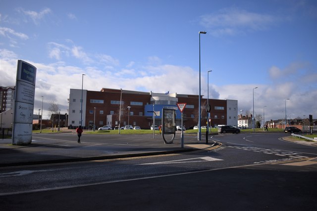
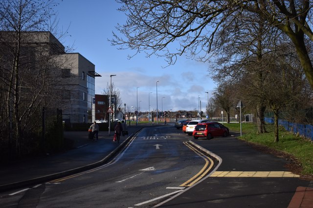
Greets Green Images
Images are sourced within 2km of 52.520567/-2.024303 or Grid Reference SO9891. Thanks to Geograph Open Source API. All images are credited.

Greets Green is located at Grid Ref: SO9891 (Lat: 52.520567, Lng: -2.024303)
Unitary Authority: Sandwell
Police Authority: West Midlands
What 3 Words
///smiles.hush.among. Near West Bromwich, West Midlands
Nearby Locations
Related Wikis

Greets Green
Greets Green (usually pronounced 'Grits Green') is a residential area of West Bromwich in the West Midlands of England. The appropriate Sandwell ward is...

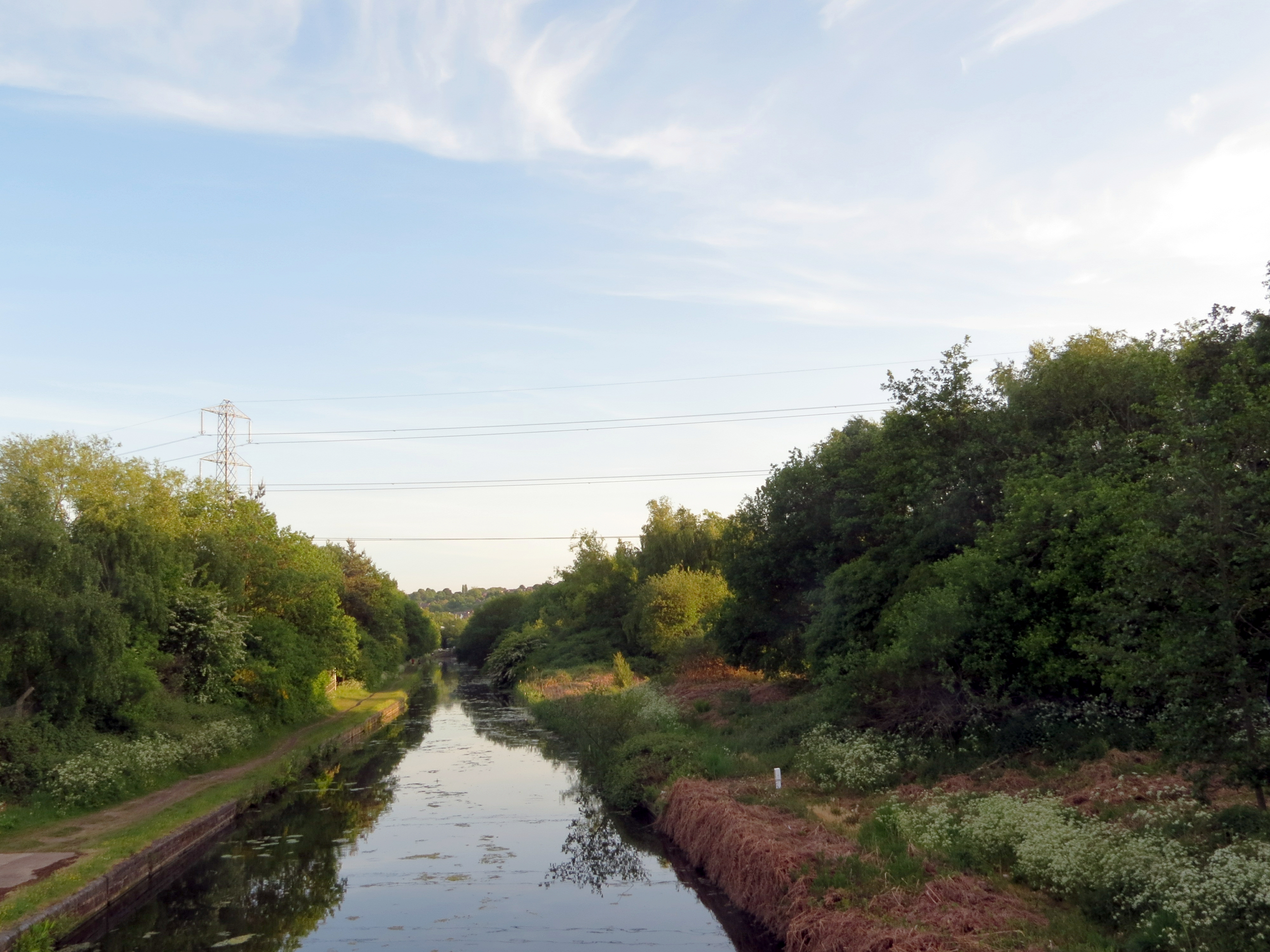
Wednesbury Old Canal
Wednesbury Old Canal is part of the Birmingham Canal Navigations (BCN) in West Midlands (county), England. It opened in 1769, and although parts of it...
Albion railway station (England)
Albion railway station was a railway station in England, built by the London and North Western Railway on their Stour Valley Line in 1852. It served the...
Gower Branch Canal
The Gower Branch Canal is a half-mile canal at Tividale in England, linking Albion Junction on the Birmingham Level (453 feet above sea) of the Birmingham...

Shri Venkateswara (Balaji) Temple
The Shri Venkateswara (Balaji) Temple (grid reference SO980906) is one of the largest functioning Hindu temples in Europe. It is dedicated in the Vaishnava...

Swan Village
Swan Village is an area of West Bromwich, in the Metropolitan Borough of Sandwell in the West Midlands County of England. It is now divided by the Black...
George Salter Academy
George Salter Academy is a coeducational 11-16 secondary school with academy status situated in West Bromwich, West Midlands, England. There are currently...

Sheepwash Urban Park
Sheepwash Urban Park is a Local Nature Reserve (LNR), situated in Sandwell Metropolitan Borough, in the West Midlands conurbation of the United Kingdom...
Nearby Amenities
Located within 500m of 52.520567,-2.024303Have you been to Greets Green?
Leave your review of Greets Green below (or comments, questions and feedback).