Greensplat

Settlement in Cornwall

England

Greensplat

Carnon Viaducts 1969 Brunel's viaduct on the right had wooden trestles.
Carnon Viaducts 1969 Credit: Gordon Spicer

The requested URL returned error: 429 Too Many Requests

If you have any feedback on the listing, please let us know in the comments section below.
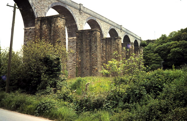
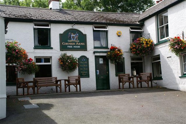
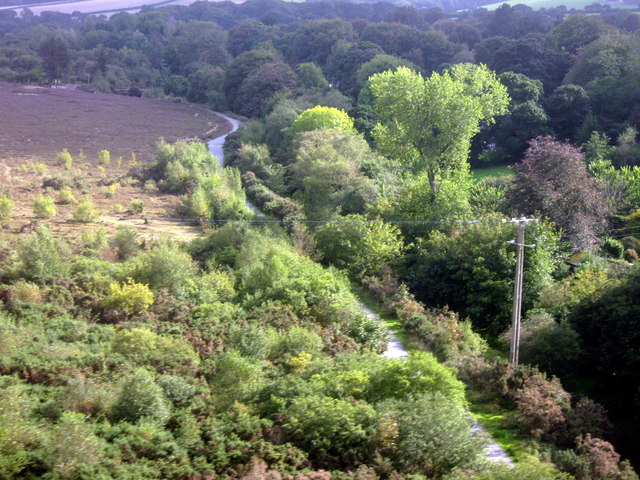
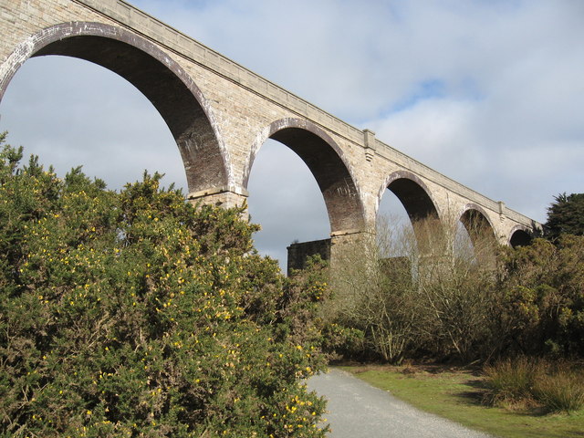
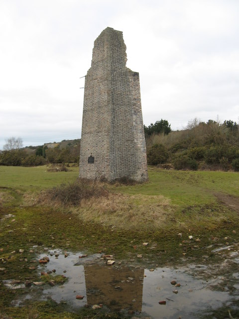
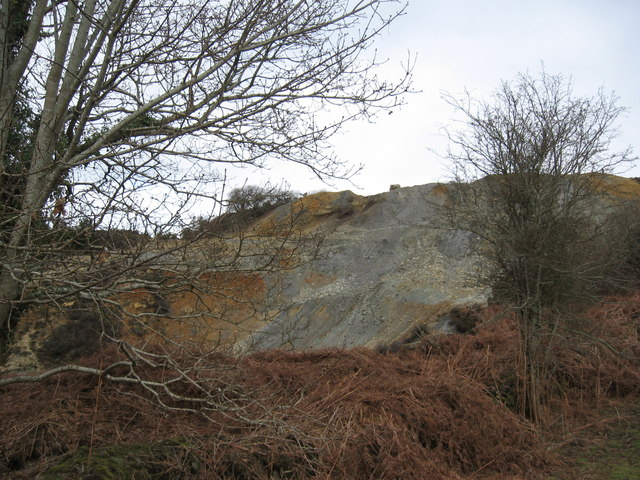
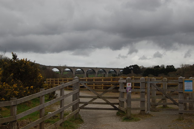
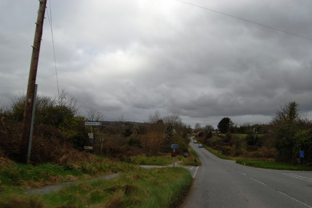
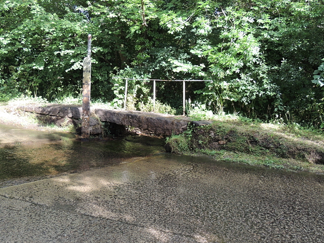
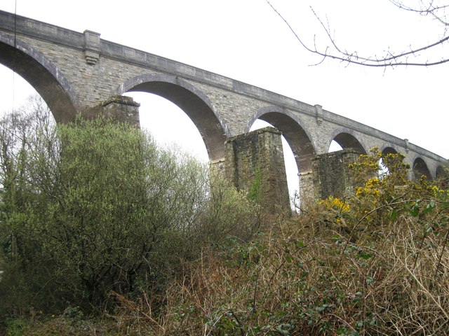
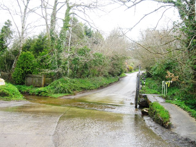
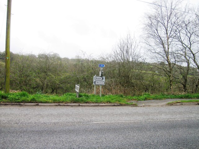
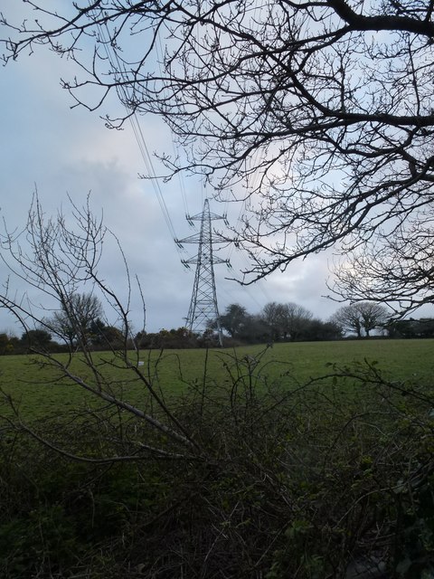
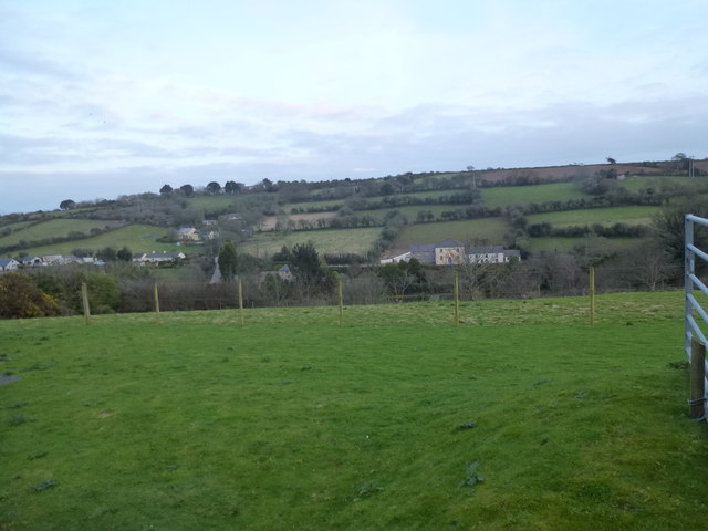
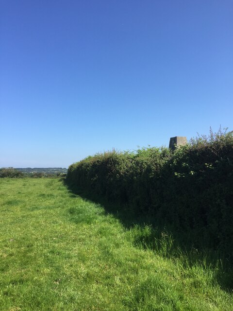
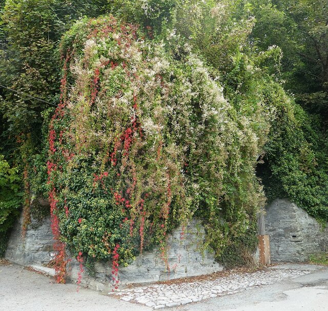
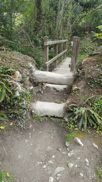
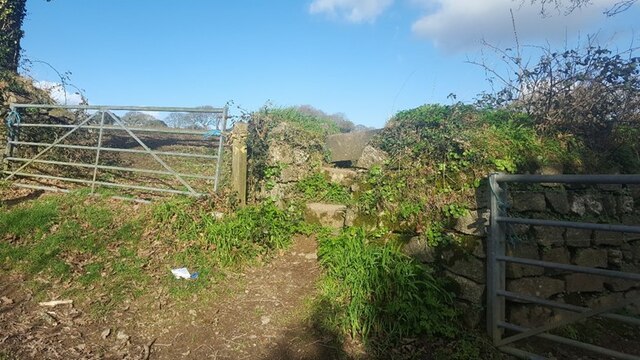
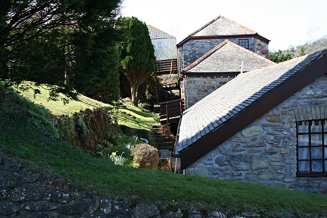
Greensplat Images

Images are sourced within 2km of 50.220235/-5.1316281 or Grid Reference SW7640. Thanks to Geograph Open Source API. All images are credited.

Carnon Viaducts 1969 Brunel's viaduct on the right had wooden trestles.
Carnon Viaducts 1969
Brunel's viaduct on the right had wooden trestles.
The Cornish Arms in summer
Maritime Line Crossing the Carnon River Viaduct
Carnon Valley Viaduct
Chimney, Point Mills Arsenic Refinery, Bissoe
Spoil heap, Nangiles mine
Carnon Viaduct and entrance to cycleway
Road into Bissoe
Road into Bissoe
Bridge and ford Carnon Valley Crossing a tributary to the Carnon River.
Bridge and ford Carnon Valley
Crossing a tributary to the Carnon River.
Carnon Viaduct
Carnon Viaduct
Ford near Higher Carnon Farm
Road junction, Bissoe
Pylon and field
Pylon and field
Looking south towards Hick's Mill
Pellyn-Wartha Trig Point Flush Bracket S7872
Perranarworthal - Former lime kilns Hidden under a lot of greenery are the former lime kilns in Perranarworthal immediately to the northeast of the Norway Inn.
Perranarworthal - Former lime kilns
Hidden under a lot of greenery are the former lime kilns in Perranarworthal immediately to the northeast of the Norway Inn.
Stone Stile SW7639a On byway 313/17/3&4 gold leading to Bargus Farm. Byway leads off Perranwell Station (Greenwith Road) to Frogpool road. The stile is at the west end of a footbridge, beside a ford.
Cattle stile with one ground level stone bar each side of a central raised stone bar.
Public byway 313/17/3&4 (gold) from: Perranwell Station to: Bargus Farm.
Stone Stile SW7639a
On byway 313/17/3&4 gold leading to Bargus Farm. Byway leads off Perranwell Station (Greenwith Road) to Frogpool road. The stile is at the west end of a footbridge, beside a ford. Cattle stile with one ground level stone bar each side of a central raised stone bar. Public byway 313/17/3&4 (gold) from: Perranwell Station to: Bargus Farm.
Stone Stile SW7639b At the junction of 3 footpaths 313/13/2 which runs from Trewedna Water Road to White Cottage in a west to east direction, 313/13/3 (bronze) which goes over the stile and runs from White Cottage to Bargus Farm, 313/13/1 runs from White Cottage back to Trewedna Water Road initially in a southerly direction.
East side 2 granite steps with a large flat slate slab across the top. 31 inches wide, 37 inches high.
West side the same large slate at the top, 2 granite slabs, stone step on the right side, some stones at the base. 50 inches high. 
Public footpath 313/13/3 (bronze) from White Cottage to Bargus Farm.
Stone Stile SW7639b
At the junction of 3 footpaths 313/13/2 which runs from Trewedna Water Road to White Cottage in a west to east direction, 313/13/3 (bronze) which goes over the stile and runs from White Cottage to Bargus Farm, 313/13/1 runs from White Cottage back to Trewedna Water Road initially in a southerly direction. East side 2 granite steps with a large flat slate slab across the top. 31 inches wide, 37 inches high. West side the same large slate at the top, 2 granite slabs, stone step on the right side, some stones at the base. 50 inches high. Public footpath 313/13/3 (bronze) from White Cottage to Bargus Farm.
Show me another place!

Greensplat is located at Grid Ref: SW7640 (Lat: 50.220235, Lng: -5.1316281)

Unitary Authority: Cornwall

Police Authority: Devon and Cornwall

What 3 Words

///prayers.olive.afraid. Near Perranwell, Cornwall

Nearby Locations

Frogpool Greensplat

Related Wikis

Coombe, Gwennap

Coombe (Cornish: Komm) is a settlement in Gwennap civil parish, Cornwall, England, United Kingdom. It is situated approximately three-and-a-half miles...

Hicks Mill

Hicks Mill is a rural hamlet in Cornwall, England. it is situated around the what3words address: ///jeep.removals.nimbly and is about 7 km (4.3 mi) WSW...

Frogpool

Frogpool (Cornish: Polkwilkyn) is a hamlet in the parish of Gwennap (where the 2011 census population was included), Cornwall, England. Frogpool is situated...

Cusgarne

Cusgarne (Cornish: Kosgaran) is a village in Cornwall, England, UK. It is about 6 miles (9.7 km) from Truro and 5 miles (8.0 km) from Redruth. It is in...

Nearby Amenities

Located within 500m of 50.220235,-5.1316281
Ford: yes
Layer: -1
Lat/Long: 50.21694/-5.128092
Greensplat
Is In County: Cornwall
Name Kw: Splattglas
Place: hamlet
Source: OS_OpenData_StreetView
Lat/Long: 50.221181/-5.1287477
Coldwind
Is In County: Cornwall
Place: hamlet
Source: OS_OpenData_StreetView
Lat/Long: 50.2192245/-5.1251106
The data included in this document is from www.openstreetmap.org. The data is made available under ODbL.

Have you been to Greensplat?

Leave your review of Greensplat below (or comments, questions and feedback).