Greenside

Settlement in Yorkshire

England

Greenside

Ollerton Road, Athersley North
Ollerton Road, Athersley North Credit: Neil Theasby

The requested URL returned error: 429 Too Many Requests

If you have any feedback on the listing, please let us know in the comments section below.
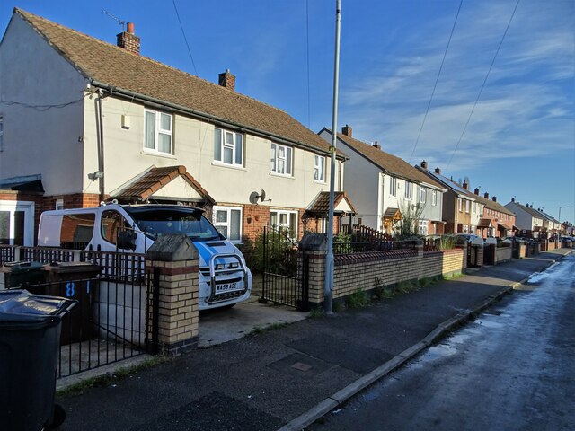
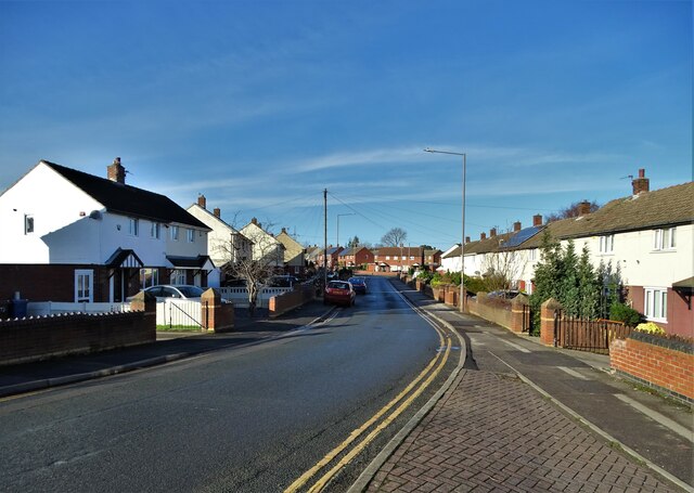
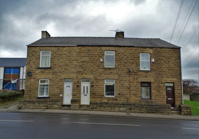
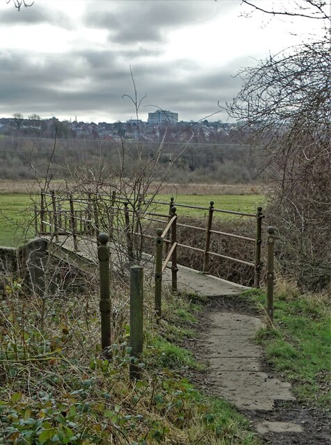
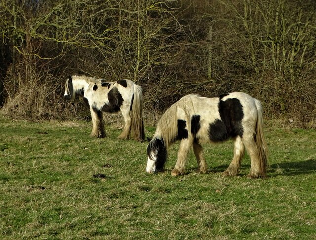
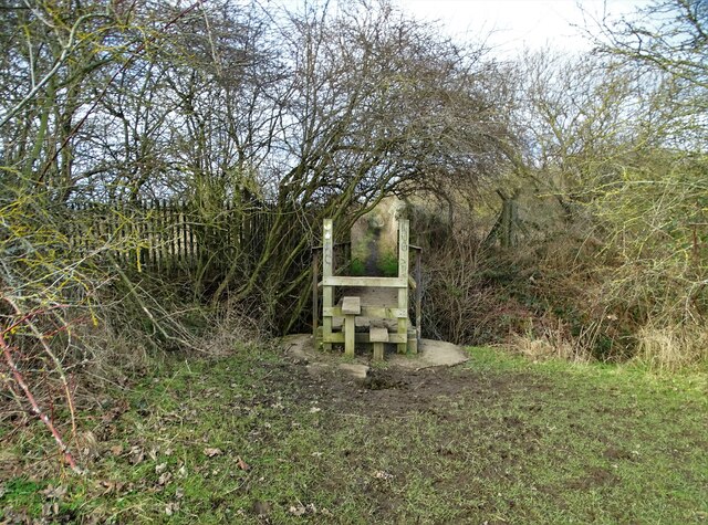
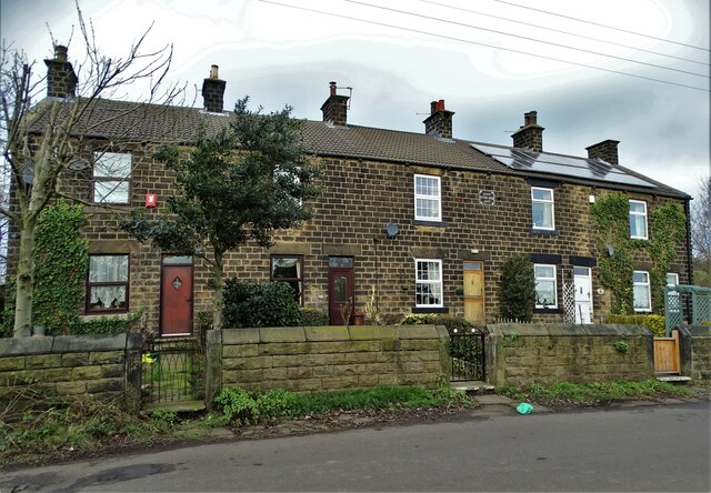
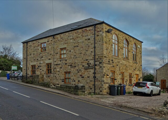
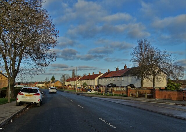
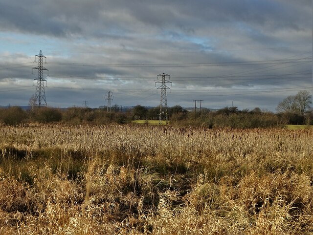
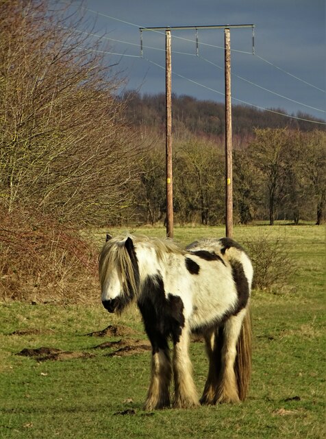
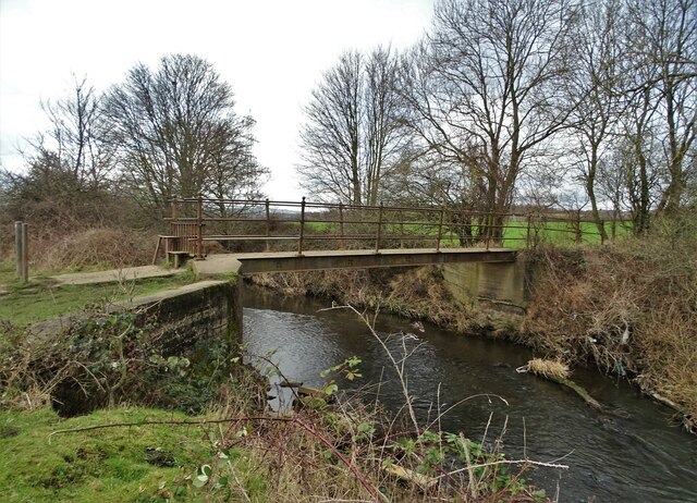
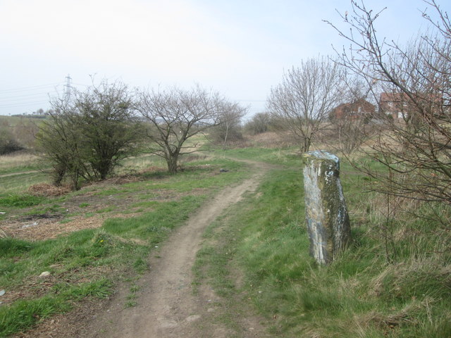
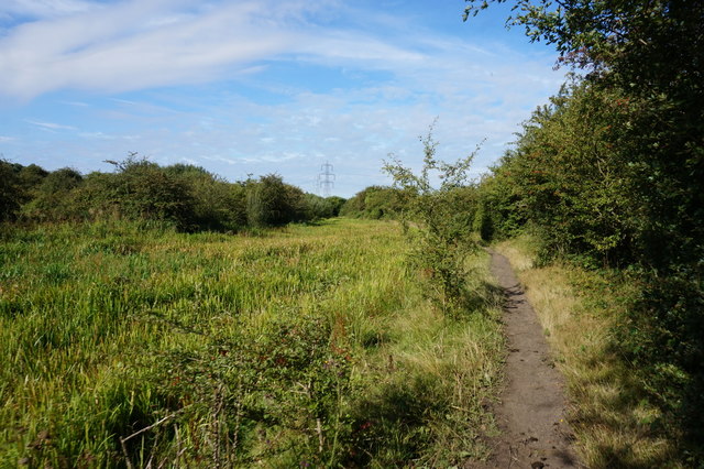
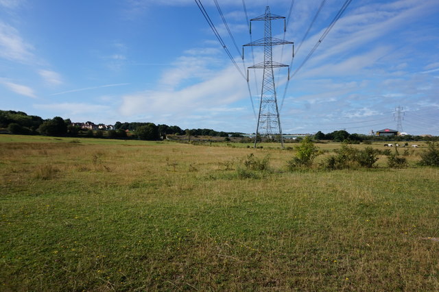
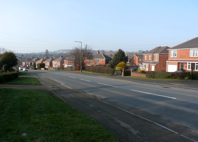
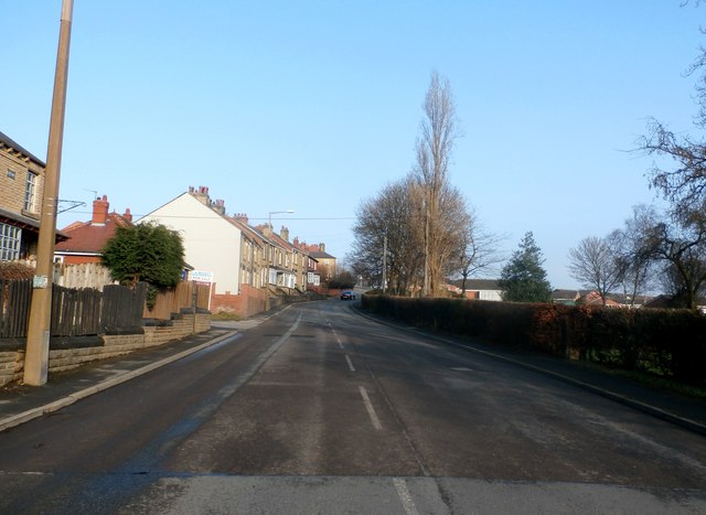
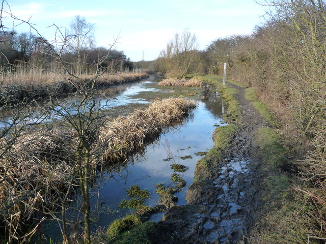
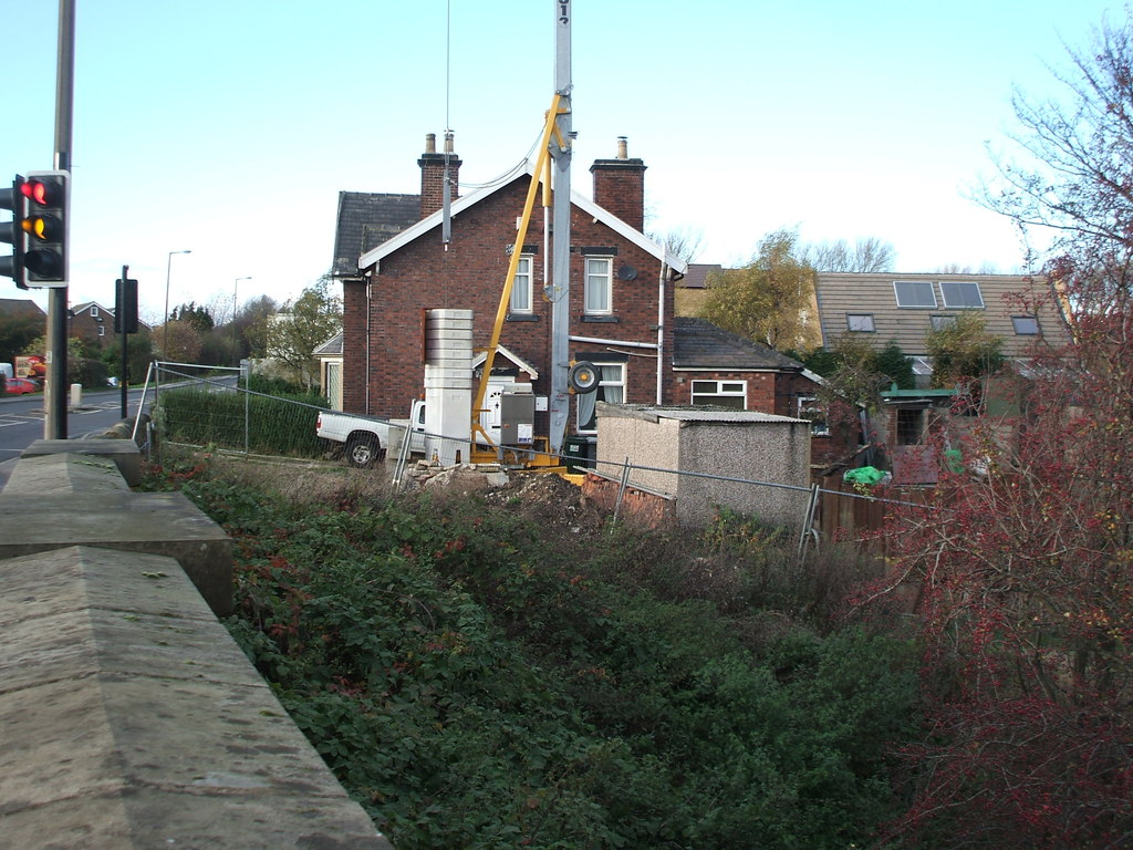
Greenside Images

Images are sourced within 2km of 53.587301/-1.5016982 or Grid Reference SE3310. Thanks to Geograph Open Source API. All images are credited.

Ollerton Road, Athersley North
On Ollerton Road, Athersley North Part of a large zone of post-war social housing.
On Ollerton Road, Athersley North
Part of a large zone of post-war social housing.
Spearpoint Terrace (1896), Mapplewell
Footbridge over The River Dearne With Barnsley Hospital on the skyline
Footbridge over The River Dearne
With Barnsley Hospital on the skyline
Raggedy horses grazing in The Dearne Valley South of Mapplewell
Raggedy horses grazing in The Dearne Valley
South of Mapplewell
Path and footbridge south of Mapplewell The path crosses a drainage channel that feeds into The River Dearne
Path and footbridge south of Mapplewell
The path crosses a drainage channel that feeds into The River Dearne
Peel Terrace (1859), Swallow Hill The memory of Robert Peel and his son - also called Robert Peel - lives on in these humble dwellings. Both father and son were knighted for their political services to the nation.
Peel Terrace (1859), Swallow Hill
The memory of Robert Peel and his son - also called Robert Peel - lives on in these humble dwellings. Both father and son were knighted for their political services to the nation.
"Bethel Gardens" Mapplewell Once a Methodist chapel but now converted for residential use.
"Bethel Gardens" Mapplewell
Once a Methodist chapel but now converted for residential use.
Newstead Road, Athersley North
Wetland with bulrushes south of The River Dearne
Forlorn horse  in  The Dearne Valley South of Mapplewell and the river
Forlorn horse in The Dearne Valley
South of Mapplewell and the river
River Dearne footbridge south of Mapplewell
Old stone gatepost by the footpath at Stand Hill
Penistone Rail Trail alongside Barnsley Canal
Pylons near Redbrook, Barnsley
Darton Lane in Mapplewell
Winter mud on the Barnsley Canal towpath The section of the Barnsley Canal between Barnsley and Barnby Basin. Built to carry coal out of the Barnsley coalfields, it opened in early 1802 and formally closed in 1953. Much of the former towpath is now a public footpath.
Winter mud on the Barnsley Canal towpath
The section of the Barnsley Canal between Barnsley and Barnby Basin. Built to carry coal out of the Barnsley coalfields, it opened in early 1802 and formally closed in 1953. Much of the former towpath is now a public footpath.
Show me another place!

Greenside is located at Grid Ref: SE3310 (Lat: 53.587301, Lng: -1.5016982)

Division: West Riding

Unitary Authority: Barnsley

Police Authority: South Yorkshire

What 3 Words

///meatball.without.lyrics. Near Darton, South Yorkshire

Nearby Locations

Mapplewell Greenside

Related Wikis

Mapplewell

Mapplewell is a village within the Metropolitan Borough of Barnsley, in South Yorkshire, England. Formerly part of the now defunct Barnsley West and Penistone...

Staincross

Staincross is a village in South Yorkshire, England, on the border with West Yorkshire. Historically part of the West Riding of Yorkshire, it formed part...

Staincross and Mapplewell railway station

Staincross and Mapplewell railway station was one of three stations built on the Barnsley Coal Railway and opened when that line was completed in 1882...

Staincross Wapentake

Staincross was a Wapentake (Hundred), which is an administrative division (or ancient district), in the historic county of the West Riding of Yorkshire...

Nearby Amenities

Located within 500m of 53.587301,-1.5016982
Mapplewell
Is In: South Yorkshire, England, UK
Place: village
Wikidata: Q6754190
Wikipedia: en:Mapplewell
Lat/Long: 53.5858086/-1.506609
Bus Stop
Blacker Road/Carr Green Lane
Alt Name: Blacker Road/Carr Green Lane
Naptan AltCommonName: Blacker Road/Carr Green Lane
Naptan AtcoCode: 370050416
Naptan Bearing: NW
Naptan CommonName: Blacker Road/Carr Green Lane
Naptan Indicator: 50416
Naptan Landmark: Lo Cost Supermarket
Naptan PlusbusZoneRef: ROTHCEN
Naptan Street: Blacker Road
Naptan Verified: no
Source: naptan_import
Lat/Long: 53.5853549/-1.4992677
Bus Stop
New Road/Broadway
Naptan AtcoCode: 370050677
Naptan Bearing: SE
Naptan CommonName: New Road/Broadway
Naptan Indicator: 50677
Naptan Landmark: 50677
Naptan PlusbusZoneRef: ROTHCEN
Naptan Street: New Road
Naptan Verified: no
Source: naptan_import
Lat/Long: 53.5897766/-1.5077664
Bus Stop
New Road/Zion Drive
Alt Name: New Road/Zion Drive
Naptan AltCommonName: New Road/Zion Drive
Naptan AtcoCode: 370050678
Naptan Bearing: N
Naptan CommonName: New Road/Zion Drive
Naptan Indicator: 50678
Naptan Landmark: 50678
Naptan PlusbusZoneRef: ROTHCEN
Naptan Street: New Road
Naptan Verified: no
Source: naptan_import
Lat/Long: 53.5891816/-1.5051597
Bus Stop
Darton Lane/Longlands Close
Alt Name: Darton Lane/Longlands Drive
Naptan AltCommonName: Darton Lane/Longlands Drive
Naptan AtcoCode: 370050679
Naptan Bearing: N
Naptan CommonName: Darton Lane/Longlands Drive
Naptan Indicator: 50679
Naptan Landmark: Kings Head Pub
Naptan PlusbusZoneRef: ROTHCEN
Naptan Street: Darton Lane
Naptan Verified: no
Source: naptan_import
Lat/Long: 53.5861159/-1.5075423
Bus Stop
Towngate/Kingsway
Alt Name: Towngate/Kingsway
Naptan AltCommonName: Towngate/Kingsway
Naptan AtcoCode: 370050680
Naptan Bearing: N
Naptan CommonName: Towngate/Kingsway
Naptan Indicator: 50680
Naptan Landmark: 50680
Naptan PlusbusZoneRef: ROTHCEN
Naptan Street: Towngate
Naptan Verified: no
Source: naptan_import
Lat/Long: 53.5866258/-1.5066096
Bus Stop
Staincross Common/Moorland Crescent
Alt Name: Staincross Common/Moorland Crescent
Naptan AltCommonName: Staincross Common/Moorland Crescent
Naptan AtcoCode: 370050685
Naptan Bearing: N
Naptan CommonName: Staincross Common/Moorland Crescent
Naptan Indicator: 50685
Naptan Landmark: 50685
Naptan PlusbusZoneRef: ROTHCEN
Naptan Street: Staincross Common
Naptan Verified: no
Source: naptan_import
Lat/Long: 53.5911163/-1.5013298
Bus Stop
Staincross Common/The Balk
Naptan AtcoCode: 370050686
Naptan Bearing: N
Naptan CommonName: Staincross Common/The Balk
Naptan Indicator: 50686
Naptan Landmark: 50686
Naptan PlusbusZoneRef: ROTHCEN
Naptan Street: Staincross Common
Naptan Verified: no
Source: naptan_import
Lat/Long: 53.590401/-1.5000994
Bus Stop
Greenside/Staincross Common
Alt Name: Greenside/Staincross Common
Naptan AltCommonName: Greenside/Staincross Common
Naptan AtcoCode: 370050687
Naptan Bearing: N
Naptan CommonName: Greenside/Staincross Common
Naptan Indicator: 50687
Naptan Landmark: 50687
Naptan PlusbusZoneRef: ROTHCEN
Naptan Street: Greenside
Naptan Verified: no
Source: naptan_import
Lat/Long: 53.5893835/-1.4996733
Bus Stop
Shaw Lane/Wakefield Road
Naptan AtcoCode: 370050688
Naptan Bearing: NE
Naptan CommonName: Shaw Lane/Wakefield Road
Naptan Indicator: 50688
Naptan Landmark: Streetlight No 3
Naptan PlusbusZoneRef: ROTHCEN
Naptan Street: Shaw Lane
Naptan Verified: no
Source: naptan_import
Lat/Long: 53.590368/-1.4965192
Bus Stop
New Road/Greenside
Naptan AtcoCode: 370050691
Naptan Bearing: N
Naptan CommonName: New Road/Greenside
Naptan Indicator: 50691
Naptan Landmark: OPPOSITE NO. 2
Naptan PlusbusZoneRef: ROTHCEN
Naptan Street: New Road
Naptan Verified: no
Source: naptan_import
Lat/Long: 53.5884452/-1.5009836
Bus Stop
Greenside/Greenside Avenue
Naptan AtcoCode: 370050692
Naptan Bearing: N
Naptan CommonName: Greenside/Greenside Avenue
Naptan Indicator: 50692
Naptan Landmark: CHURCH
Naptan PlusbusZoneRef: ROTHCEN
Naptan Street: Greenside
Naptan Verified: no
Source: naptan_import
Lat/Long: 53.5877533/-1.5010522
Bus Stop
Greenside/Braithwaite Street
Alt Name: Greenside/Braithwaite Street
Naptan AltCommonName: Greenside/Braithwaite Street
Naptan AtcoCode: 370050693
Naptan Bearing: N
Naptan CommonName: Greenside/Braithwaite Street
Naptan Indicator: 50693
Naptan Landmark: The Wentworth Arms
Naptan PlusbusZoneRef: ROTHCEN
Naptan Street: Greenside
Naptan Verified: no
Source: naptan_import
Lat/Long: 53.5869308/-1.5021042
Bus Stop
Greenside/Paddock Road
Alt Name: Greenside/Paddock Road
Naptan AltCommonName: Greenside/Paddock Road
Naptan AtcoCode: 370055214
Naptan Bearing: N
Naptan CommonName: Greenside/Paddock Road
Naptan Indicator: 55214
Naptan Landmark: 55214
Naptan PlusbusZoneRef: ROTHCEN
Naptan Street: Greenside
Naptan Verified: no
Source: naptan_import
Lat/Long: 53.5893108/-1.4994778
Bus Stop
Blacker Road/Park Close
Bench: stand_up_bench
Bin: no
Bus: yes
Departures Board: timetable
Naptan AtcoCode: 370055218
Naptan Bearing: N
Naptan CommonName: Blacker Road/Park Close
Naptan Indicator: 55218
Naptan Landmark: Lo Cost Supermarket
Naptan PlusbusZoneRef: ROTHCEN
Naptan Street: Blacker Road
Naptan Verified: no
Public Transport: platform
Shelter: yes
Source: naptan_import
Lat/Long: 53.5850905/-1.4983796
Bus Stop
Blacker Road/Church Street
Naptan AtcoCode: 370055229
Naptan Bearing: N
Naptan CommonName: Blacker Road/Church Street
Naptan Indicator: 55229
Naptan Landmark: Police Station
Naptan PlusbusZoneRef: ROTHCEN
Naptan Street: Blacker Road
Naptan Verified: no
Source: naptan_import
Lat/Long: 53.586291/-1.5017341
Bus Stop
Shaw Lane/Wakefield Road
Naptan AtcoCode: 370055250
Naptan Bearing: SW
Naptan CommonName: Shaw Lane/Wakefield Road
Naptan Indicator: 55250
Naptan Landmark: OPPOSITE NO. 1
Naptan PlusbusZoneRef: ROTHCEN
Naptan Street: Shaw Lane
Naptan Verified: no
Source: naptan_import
Lat/Long: 53.5902409/-1.4962186
Bus Stop
Towngate/Four Lane Ends
Alt Name: Towngate/Four Lane Ends
Naptan AltCommonName: Towngate/Four Lane Ends
Naptan AtcoCode: 370051110
Naptan Bearing: N
Naptan CommonName: Towngate/Four Lane Ends
Naptan Indicator: 51110
Naptan Landmark: 51110
Naptan PlusbusZoneRef: ROTHCEN
Naptan Street: Towngate
Naptan Verified: no
Source: naptan_import
Lat/Long: 53.5860446/-1.5051661
Bus Stop
Blacker Road/Carr Green
Alt Name: Blacker Road/Carr Green
Naptan AltCommonName: Blacker Road/Carr Green
Naptan AtcoCode: 370055455
Naptan Bearing: N
Naptan CommonName: Blacker Road/Carr Green
Naptan Indicator: 55455
Naptan Landmark: New Housing
Naptan PlusbusZoneRef: ROTHCEN
Naptan Street: Blacker Road
Naptan Verified: no
Source: naptan_import
Lat/Long: 53.5845211/-1.497631
Bus Stop
New Road/Zion Drive
Alt Name: New Road/Zion Drive
Naptan AltCommonName: New Road/Zion Drive
Naptan AtcoCode: 370051200
Naptan Bearing: N
Naptan CommonName: New Road/Zion Drive
Naptan Indicator: 51200
Naptan Landmark: Masons Public House
Naptan PlusbusZoneRef: ROTHCEN
Naptan Street: New Road
Naptan Verified: no
Source: naptan_import
Lat/Long: 53.5891964/-1.504389
Mini Roundabout
Lat/Long: 53.5859917/-1.5045638
Mini Roundabout
Lat/Long: 53.5849208/-1.4981892
Greenside Hardware
Shop: doityourself
Lat/Long: 53.5863195/-1.5028624
Pharmacy
Numark
Lat/Long: 53.5863198/-1.5079609
Cleanworld
Shop: laundry
Lat/Long: 53.5861383/-1.5081755
Library
Mapplewell and Staincross Library
Addr City: Barnsley
Addr Housenumber: 391
Addr Postcode: S75 6AL
Addr Street: Darton Lane
Opening Hours: Mo,We,Fr 09:00-17:00; Tu 09:00-19:00; Sa 09:30-12:30
Website: https://www.barnsley.gov.uk/services/libraries/find-a-library/library-at-mapplewell-and-staincross/
Lat/Long: 53.5860364/-1.5070892
Rhythm & Booze
Shop: alcohol
Lat/Long: 53.5862657/-1.5080575
Fast Food
DeNiro's Pizza
Addr City: Barnsley
Addr Housenumber: 389
Addr Postcode: S75 6AL
Addr Street: Darton Lane
Cuisine: pizza
Delivery: yes
Opening Hours: Mo-Th,Su 17:00-22:00; Fr-Sa 17:00-00:00
Phone: +44 1226388828
Takeaway: yes
Website: https://denirospizza.com/
Lat/Long: 53.5861956/-1.5081111
Mapplewell Stores
Shop: convenience
Lat/Long: 53.5860401/-1.504013
L Birkinshaw & Sons
Shop: bakery
Lat/Long: 53.5861086/-1.5037126
North Gawber Colliery
Railway: dismantled_colliery
Source: NLS - OS 1:25k 1st Series 1937-61
Lat/Long: 53.5830733/-1.5009978
Restaurant
Mezza Luna
Cuisine: italian
Lat/Long: 53.5854316/-1.5021157
Noexit: yes
Lat/Long: 53.5855991/-1.4970122
Turning Circle
Lat/Long: 53.5880119/-1.5056739
Generator Method: photovoltaic
Generator Output Electricity: yes
Generator Source: solar
Generator Type: solar_photovoltaic_panel
Location: roof
Power: generator
Lat/Long: 53.5858202/-1.5070548
Generator Method: photovoltaic
Generator Output Electricity: yes
Generator Source: solar
Generator Type: solar_photovoltaic_panel
Location: roof
Power: generator
Lat/Long: 53.5859403/-1.5069103
Post Box
Collection Times: Mo-Fr 09:00; Sa 07:00
Post Box Type: wall
Ref: S75 9D
Royal Cypher: EIIR
Royal Cypher Wikidata: Q33102113
Lat/Long: 53.58858/-1.5009271
Post Box
Collection Times: Mo-Fr 09:00; Sa 07:00
Post Box Type: lamp
Ref: S75 666D
Royal Cypher: EIIR
Royal Cypher Wikidata: Q33102113
Lat/Long: 53.5860304/-1.5012021
Post Box
Collection Times: Mo-Fr 17:00; Sa 11:00
Post Box Type: pillar
Ref: S75 159
Royal Cypher: GR
Royal Cypher Wikidata: Q33102273
Lat/Long: 53.5855116/-1.5034242
Post Box
Collection Times: Mo-Fr 09:00; Sa 07:00
Post Box Type: wall
Ref: S75 240D
Royal Cypher: EIIR
Royal Cypher Wikidata: Q33102113
Lat/Long: 53.5902266/-1.4966348
The data included in this document is from www.openstreetmap.org. The data is made available under ODbL.

Have you been to Greenside?

Leave your review of Greenside below (or comments, questions and feedback).