Greenscoe
Settlement in Lancashire Barrow-in-Furness
England
Greenscoe

Greenscoe is a small village located in the county of Lancashire, England. Nestled amidst the picturesque countryside, it is situated about 5 miles northwest of the town of Lancaster. With a population of around 500 residents, Greenscoe is known for its tranquil and close-knit community.
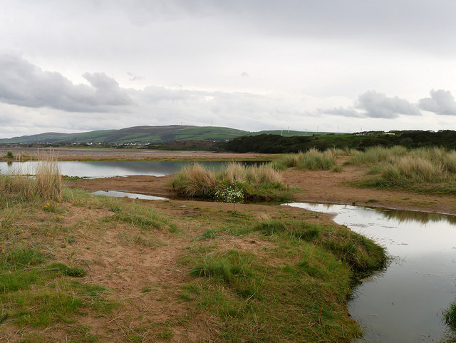
The village is characterized by its charming, traditional stone-built houses and well-maintained gardens, which add to its aesthetic appeal. Greenscoe is surrounded by rolling hills and lush green fields, making it an ideal location for nature lovers and outdoor enthusiasts. The nearby countryside offers numerous walking trails, providing residents and visitors with the opportunity to explore the beautiful surroundings.
While Greenscoe does not have its own amenities like shops or schools, it benefits from its close proximity to Lancaster, where residents can access a wider range of services and facilities. The village does, however, have a local pub, The Green Lion, which serves as a focal point for social gatherings and community events.
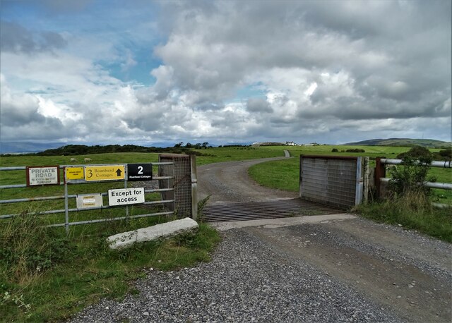
In terms of transportation, Greenscoe is well-connected to the rest of Lancashire. The village is easily accessible by road, with the A6 running nearby, providing links to Lancaster and other towns in the region. Public transportation is also available, with regular bus services connecting Greenscoe to surrounding areas.
Overall, Greenscoe offers a peaceful and idyllic setting, making it a desirable place to live for those seeking a rural lifestyle within reach of urban amenities.
If you have any feedback on the listing, please let us know in the comments section below.
Greenscoe Images
Images are sourced within 2km of 54.176962/-3.1985251 or Grid Reference SD2176. Thanks to Geograph Open Source API. All images are credited.


Greenscoe is located at Grid Ref: SD2176 (Lat: 54.176962, Lng: -3.1985251)
Administrative County: Cumbria
District: Barrow-in-Furness
Police Authority: Cumbria
What 3 Words
///hourglass.fluctuate.cabs. Near Askam in Furness, Cumbria
Nearby Locations
Related Wikis

Dalton North
Dalton North is a ward of the British town Dalton-in-Furness, within the Borough of Barrow-in-Furness. With 6,599 people residing in Dalton North in 2001...

Askam and Ireleth
Askam and Ireleth is a civil parish close to Barrow-in-Furness in Westmorland and Furness, Cumbria, England. Historically part of Lancashire, it originally...

Askam railway station
Askam is a railway station on the Cumbrian Coast Line, which runs between Carlisle and Barrow-in-Furness. The station, situated 6 miles (10 km) north of...

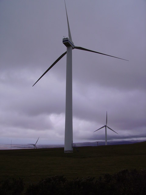
Askam and Ireleth Wind Farm
Askam and Ireleth Wind Farm is a group of 7 turbines located two kilometers east of the village Askam and Ireleth, on the southern slopes of Hare Slack...
Dowdales School
Dowdales School which was founded 1928, is a community, comprehensive school in Dalton-in-Furness, Cumbria for anyone, in the age range 11–16. There are...
South Lakes Safari Zoo
South Lakes Safari Zoo (formerly South Lakes Wild Animal Park) is a 51-acre (21 ha) zoo established in 1994 by David Gill, and located in Cumbria, England...

Dalton Castle, Cumbria
Dalton Castle is a grade I listed 14th-century peel tower situated in Dalton-in-Furness, Cumbria, England, and in the ownership of the National Trust....

St Mary's Church, Dalton-in-Furness
St Mary's Church is in the town of Dalton-in-Furness, Cumbria, England. It is an active Anglican parish church in the deanery of Furness, the archdeaconry...
Nearby Amenities
Located within 500m of 54.176962,-3.1985251Have you been to Greenscoe?
Leave your review of Greenscoe below (or comments, questions and feedback).