Frogpool

Settlement in Cornwall

England

Frogpool

The Cornish Arms in summer
The Cornish Arms in summer Credit: Phillip Roscorla

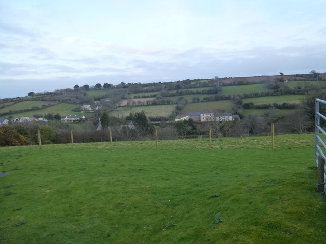
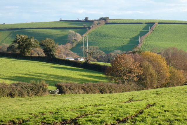
Frogpool is a small village located in the Carnon Downs area of Cornwall, England. Situated approximately four miles southwest of Truro, Frogpool is nestled amongst the beautiful Cornish countryside, surrounded by idyllic farmland and rolling hills.

The village is known for its peaceful and picturesque atmosphere, making it a popular destination for those seeking a tranquil getaway. Frogpool boasts a close-knit community, with a population of around 500 residents.

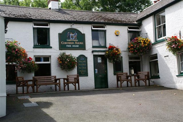
Despite its small size, Frogpool offers a range of amenities to cater to the needs of both locals and visitors. The village is home to a local pub, The Cornish Arms, which is renowned for its traditional Cornish cuisine and friendly atmosphere. Additionally, Frogpool has a convenience store, a post office, and a primary school, ensuring that residents have access to essential services.

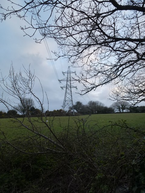
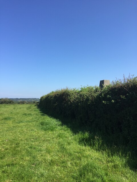
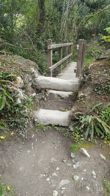
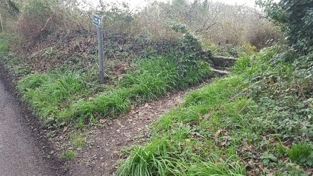
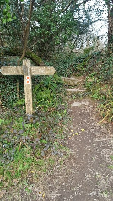
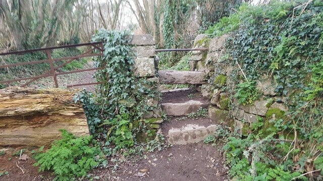
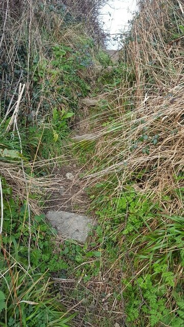
For nature enthusiasts, Frogpool provides ample opportunities for outdoor activities. The surrounding countryside offers numerous walking paths and trails, allowing visitors to explore the stunning landscapes and enjoy the local flora and fauna. The nearby Carnon River is also a popular spot for fishing and picnicking.

Frogpool's convenient location allows for easy access to the nearby city of Truro, where residents can find a wider range of amenities, including shopping centers, restaurants, and recreational facilities. The village is also well-connected to other parts of Cornwall through regular bus services.

Overall, Frogpool offers a peaceful and scenic escape, perfect for those looking to immerse themselves in the charm and beauty of the Cornish countryside.

If you have any feedback on the listing, please let us know in the comments section below.
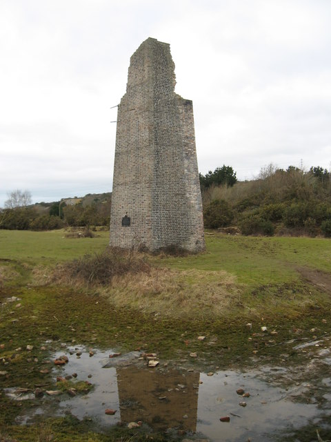
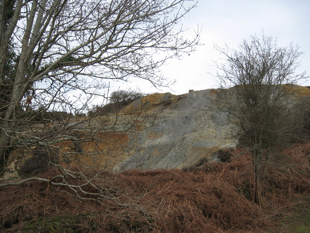
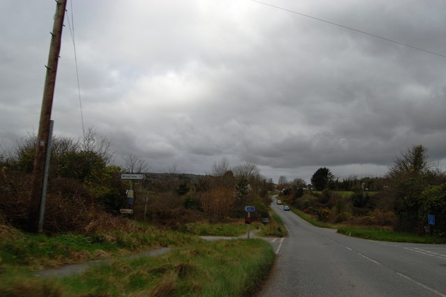
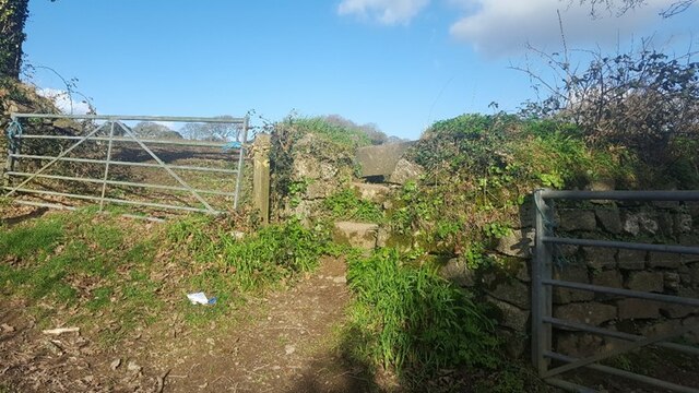
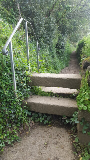
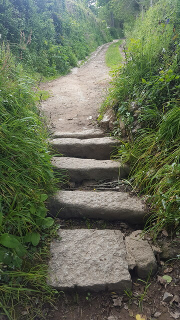
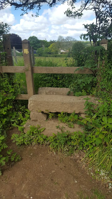
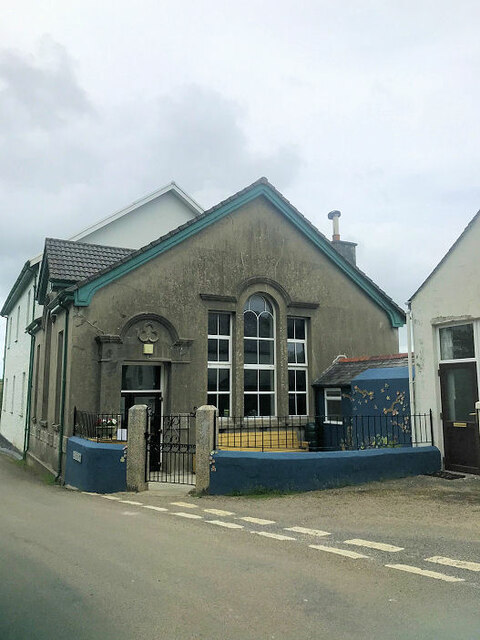
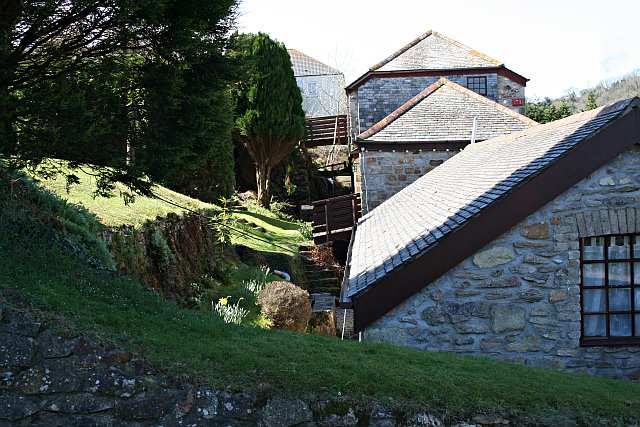
Frogpool Images

Images are sourced within 2km of 50.218604/-5.141172 or Grid Reference SW7640. Thanks to Geograph Open Source API. All images are credited.

The Cornish Arms in summer
Chimney, Point Mills Arsenic Refinery, Bissoe
Spoil heap, Nangiles mine
Road into Bissoe
Road into Bissoe
Pylon and field
Pylon and field
Looking south towards Hick's Mill
Pellyn-Wartha Trig Point Flush Bracket S7872
Stone Stile SW7639a On byway 313/17/3&4 gold leading to Bargus Farm. Byway leads off Perranwell Station (Greenwith Road) to Frogpool road. The stile is at the west end of a footbridge, beside a ford.
Cattle stile with one ground level stone bar each side of a central raised stone bar.
Public byway 313/17/3&4 (gold) from: Perranwell Station to: Bargus Farm.
Stone Stile SW7639a
On byway 313/17/3&4 gold leading to Bargus Farm. Byway leads off Perranwell Station (Greenwith Road) to Frogpool road. The stile is at the west end of a footbridge, beside a ford. Cattle stile with one ground level stone bar each side of a central raised stone bar. Public byway 313/17/3&4 (gold) from: Perranwell Station to: Bargus Farm.
Stone Stile SW7639b At the junction of 3 footpaths 313/13/2 which runs from Trewedna Water Road to White Cottage in a west to east direction, 313/13/3 (bronze) which goes over the stile and runs from White Cottage to Bargus Farm, 313/13/1 runs from White Cottage back to Trewedna Water Road initially in a southerly direction.
East side 2 granite steps with a large flat slate slab across the top. 31 inches wide, 37 inches high.
West side the same large slate at the top, 2 granite slabs, stone step on the right side, some stones at the base. 50 inches high. 
Public footpath 313/13/3 (bronze) from White Cottage to Bargus Farm.
Stone Stile SW7639b
At the junction of 3 footpaths 313/13/2 which runs from Trewedna Water Road to White Cottage in a west to east direction, 313/13/3 (bronze) which goes over the stile and runs from White Cottage to Bargus Farm, 313/13/1 runs from White Cottage back to Trewedna Water Road initially in a southerly direction. East side 2 granite steps with a large flat slate slab across the top. 31 inches wide, 37 inches high. West side the same large slate at the top, 2 granite slabs, stone step on the right side, some stones at the base. 50 inches high. Public footpath 313/13/3 (bronze) from White Cottage to Bargus Farm.
Stone Stile SW7739a On a public path that runs from the side of the Post Office in School Hill, Perranwell Station to St Piran’s Church, Perranarworthal.
Cattle stile made with just three long horizontal granite blocks.
Public footpath 313/1/4 gold from Perranwell to Churchtown.
Stone Stile SW7739a
On a public path that runs from the side of the Post Office in School Hill, Perranwell Station to St Piran’s Church, Perranarworthal. Cattle stile made with just three long horizontal granite blocks. Public footpath 313/1/4 gold from Perranwell to Churchtown.
Stone Stile SW7739b On a public footpath that runs from the side of the Post Office in School Hill, Perranwell Station to St Piran’s Church, Perranarworthal. This stile is sited at the top of the footpath towards the church & just beyond this point the footpath becomes a public byway.
Coffen stile with five long granite blocks.
Coffen stile – a stile built over a pit – like a granite cattle grid.
Coffen is a Cornish word for a man-made hole in the ground.
Public footpath 313/1/4 gold and byway 313/1/3 gold from Perranwell to the Churchtown.
Stone Stile SW7739b
On a public footpath that runs from the side of the Post Office in School Hill, Perranwell Station to St Piran’s Church, Perranarworthal. This stile is sited at the top of the footpath towards the church & just beyond this point the footpath becomes a public byway. Coffen stile with five long granite blocks. Coffen stile – a stile built over a pit – like a granite cattle grid. Coffen is a Cornish word for a man-made hole in the ground. Public footpath 313/1/4 gold and byway 313/1/3 gold from Perranwell to the Churchtown.
Stone Stile SW7739c On a public footpath leading from the top of the footpath from Post Office on School Hill, coming out in Perranwell Station on St Pirans Hill. Where this footpath leads off, the footpath from School Hill & the Church becomes a wider public byway.
It is a granite stile with a wooden top. Two granite steps on the east side, three granite steps on the west side. The granite is very even (quite new?) and the top step Public footpath 313/1/3 gold from St Pirans Hill to the Churchtown.has cross hatched markings.
Stone Stile SW7739c
On a public footpath leading from the top of the footpath from Post Office on School Hill, coming out in Perranwell Station on St Pirans Hill. Where this footpath leads off, the footpath from School Hill & the Church becomes a wider public byway. It is a granite stile with a wooden top. Two granite steps on the east side, three granite steps on the west side. The granite is very even (quite new?) and the top step Public footpath 313/1/3 gold from St Pirans Hill to the Churchtown.has cross hatched markings.
Stone Stile SW7739d Perranwell, where footpath leads from Greenwith Road in a SW direction.
Cattle stile. Height on road side 19 inches high, 36 inches across, consist of top granite slab & a lower granite slab. On path side there is a top granite slab, 2 lower granite slabs & a lower stone. Height 39 inches. 
Public footpath 313/10/1 gold.
Stone Stile SW7739d
Perranwell, where footpath leads from Greenwith Road in a SW direction. Cattle stile. Height on road side 19 inches high, 36 inches across, consist of top granite slab & a lower granite slab. On path side there is a top granite slab, 2 lower granite slabs & a lower stone. Height 39 inches. Public footpath 313/10/1 gold.
Stone Stile SW7739e Perranwell, where footpath 313/11/1, leading south from Footpath 313/10/1, joins public Byway 313/12/2.
Cattle stile. North side of stile top granite slab, lower granite slab & stone at the bottom. Width 34 inches, height 28 inches. 
South side of stile top granite slab, lower granite slab & stone at the bottom. Height 37 inches. 
On North side of stile there is an overhanging tree that has to be ducked under.
Public footpath 313/11/1 joining public byway 313/12/2.
Stone Stile SW7739e
Perranwell, where footpath 313/11/1, leading south from Footpath 313/10/1, joins public Byway 313/12/2. Cattle stile. North side of stile top granite slab, lower granite slab & stone at the bottom. Width 34 inches, height 28 inches. South side of stile top granite slab, lower granite slab & stone at the bottom. Height 37 inches. On North side of stile there is an overhanging tree that has to be ducked under. Public footpath 313/11/1 joining public byway 313/12/2.
Stone Stile SW7739f Perranwell. About halfway along footpath 313/7/3, south of the railway bridge, beside a metal gate blocked by a tree.
Cattle stile. North side; 2 granite slabs with a metal bar across the top (metal bar looks repurposed) Width 30inches. Height to top of metal bar 36 inches. 
South side: 3 granite slabs & the same metal bar. Height 51 inches.  
A long public footpath 313/7/3 (Gold) leads south west then curving around to south after passing under Railway bridge from Byway 313/12/1, joining public Footpath 313/7/2
Stone Stile SW7739f
Perranwell. About halfway along footpath 313/7/3, south of the railway bridge, beside a metal gate blocked by a tree. Cattle stile. North side; 2 granite slabs with a metal bar across the top (metal bar looks repurposed) Width 30inches. Height to top of metal bar 36 inches. South side: 3 granite slabs & the same metal bar. Height 51 inches. A long public footpath 313/7/3 (Gold) leads south west then curving around to south after passing under Railway bridge from Byway 313/12/1, joining public Footpath 313/7/2
Stone Stile SW7739g Perranwell
Step stile through a gap in the hedge. The steps are set apart, embedded in the bank. East side 1 granite step Height 8” width 18 inches. On west side 4 steps Height 48 inches.
A long public footpath 313/7/3 (Gold) leads south west then curving around to south after passing under Railway bridge from Byway 313/12/1, joining public Footpath 313/7/2.
Stone Stile SW7739g
Perranwell Step stile through a gap in the hedge. The steps are set apart, embedded in the bank. East side 1 granite step Height 8” width 18 inches. On west side 4 steps Height 48 inches. A long public footpath 313/7/3 (Gold) leads south west then curving around to south after passing under Railway bridge from Byway 313/12/1, joining public Footpath 313/7/2.
Pasture, Gwennap A footpath descends to the gate on its way across fields to the east of South Tresamble.
Pasture, Gwennap
A footpath descends to the gate on its way across fields to the east of South Tresamble.
Frogpool Methodist Church
Show me another place!

Frogpool is located at Grid Ref: SW7640 (Lat: 50.218604, Lng: -5.141172)

Unitary Authority: Cornwall

Police Authority: Devon and Cornwall

What 3 Words

///fractions.pool.backward. Near Perranwell, Cornwall

Nearby Locations

Greensplat Frogpool

Related Wikis

Frogpool

Frogpool (Cornish: Polkwilkyn) is a hamlet in the parish of Gwennap (where the 2011 census population was included), Cornwall, England. Frogpool is situated...

Cusgarne

Cusgarne (Cornish: Kosgaran) is a village in Cornwall, England, UK. It is about 6 miles (9.7 km) from Truro and 5 miles (8.0 km) from Redruth. It is in...

Coombe, Gwennap

Coombe (Cornish: Komm) is a settlement in Gwennap civil parish, Cornwall, England, United Kingdom. It is situated approximately three-and-a-half miles...

Hicks Mill

Hicks Mill is a rural hamlet in Cornwall, England. it is situated around the what3words address: ///jeep.removals.nimbly and is about 7 km (4.3 mi) WSW...

Nearby Amenities

Located within 500m of 50.218604,-5.141172
Noexit: yes
Lat/Long: 50.2181867/-5.1389884
Post Box
Brand: Royal Mail
Brand Wikidata: Q638098
Collection Times: Mo-Fr 09:00; Sa 07:00; Su off
Drive Through: no
Operator: Royal Mail
Operator Wikidata: Q638098
Post Box Design: 2010_pattern
Post Box Mounting: pier
Post Box Type: lamp
Ref: TR4 36D
Royal Cypher: EIIR
Royal Cypher Wikidata: Q33102113
Source: survey;streetlevel imagery;aerial imagery
Lat/Long: 50.2186957/-5.1413155
Frogpool
Is In: Cornwall, England, UK
Name Kw: Polkwilkyn
Place: village
Source: NPE
Wikidata: Q5505293
Lat/Long: 50.2183819/-5.1418804
Bus Stop
Cornish Arms
Naptan AtcoCode: 0800COC30101
Naptan Bearing: NW
Naptan CommonName: Cornish Arms
Naptan Indicator: Opp
Naptan NaptanCode: corapmwt
Naptan Street: Unclassified
Naptan Verified: no
Source: naptan_import
Lat/Long: 50.2187869/-5.1412511
Lowertown
Is In County: Cornwall
Place: hamlet
Lat/Long: 50.2215034/-5.1398496
Power: tower
Lat/Long: 50.2150143/-5.14537
Power: tower
Lat/Long: 50.2161691/-5.1447494
Power: tower
Lat/Long: 50.2179312/-5.1437242
Power: tower
Lat/Long: 50.2195462/-5.1428393
Power: tower
Lat/Long: 50.2213015/-5.1417895
Direction: S
Generator Method: photovoltaic
Generator Output Electricity: small_installation
Generator Source: solar
Generator Type: solar_photovoltaic_panel
Location: roof
Power: generator
Source: bing;survey
Survey Date: 2020-07-25
Lat/Long: 50.2171329/-5.1468077
Direction: S
Generator Method: photovoltaic
Generator Output Electricity: small_installation
Generator Source: solar
Generator Type: solar_photovoltaic_panel
Location: roof
Power: generator
Source: bing;survey
Survey Date: 2020-07-25
Lat/Long: 50.2168729/-5.1443549
Direction: S
Generator Method: photovoltaic
Generator Output Electricity: small_installation
Generator Source: solar
Generator Type: solar_photovoltaic_panel
Location: roof
Power: generator
Source: bing;survey
Survey Date: 2020-07-25
Lat/Long: 50.2169287/-5.1433758
Direction: W
Generator Method: photovoltaic
Generator Output Electricity: small_installation
Generator Source: solar
Generator Type: solar_photovoltaic_panel
Location: roof
Power: generator
Source: bing;survey
Survey Date: 2020-07-25
Lat/Long: 50.2192748/-5.1389435
Direction: W
Generator Method: photovoltaic
Generator Output Electricity: small_installation
Generator Source: solar
Generator Type: solar_photovoltaic_panel
Location: roof
Power: generator
Source: bing;survey
Survey Date: 2020-07-25
Lat/Long: 50.2191727/-5.1411027
Direction: SE
Generator Method: photovoltaic
Generator Output Electricity: small_installation
Generator Source: solar
Generator Type: solar_photovoltaic_panel
Location: roof
Power: generator
Source: bing;survey
Survey Date: 2020-07-25
Lat/Long: 50.2193023/-5.1410651
Direction: SE
Generator Method: photovoltaic
Generator Output Electricity: small_installation
Generator Source: solar
Generator Type: solar_photovoltaic_panel
Location: roof
Power: generator
Source: bing;survey
Survey Date: 2020-07-25
Lat/Long: 50.2192886/-5.1405448
Direction: SW
Generator Method: photovoltaic
Generator Output Electricity: small_installation
Generator Source: solar
Generator Type: solar_photovoltaic_panel
Location: roof
Power: generator
Source: bing;survey
Survey Date: 2020-07-25
Lat/Long: 50.2186046/-5.139602
Direction: S
Generator Method: photovoltaic
Generator Output Electricity: small_installation
Generator Source: solar
Generator Type: solar_photovoltaic_panel
Location: roof
Power: generator
Source: bing;survey
Survey Date: 2020-07-25
Lat/Long: 50.2176144/-5.140986
Direction: S
Generator Method: photovoltaic
Generator Output Electricity: small_installation
Generator Source: solar
Generator Type: solar_photovoltaic_panel
Location: roof
Power: generator
Source: bing;survey
Survey Date: 2020-07-25
Lat/Long: 50.2178975/-5.139484
Direction: S
Generator Method: photovoltaic
Generator Output Electricity: small_installation
Generator Source: solar
Generator Type: solar_photovoltaic_panel
Location: roof
Power: generator
Source: bing;survey
Survey Date: 2020-07-25
Lat/Long: 50.2178795/-5.1395805
Direction: S
Generator Method: photovoltaic
Generator Output Electricity: small_installation
Generator Source: solar
Generator Type: solar_photovoltaic_panel
Location: roof
Power: generator
Source: bing;survey
Survey Date: 2020-07-25
Lat/Long: 50.2179928/-5.1404268
Noexit: yes
Lat/Long: 50.218157/-5.1390892
Playground: climbingframe
Lat/Long: 50.2173945/-5.1472864
Covered: yes
Leisure: picnic_table
Lat/Long: 50.217334/-5.1474249
Playground: roundabout
Lat/Long: 50.217473/-5.1473349
Playground: slide
Lat/Long: 50.2172993/-5.1471831
Playground: climbingwall
Lat/Long: 50.2174065/-5.1471964
Covered: no
Leisure: picnic_table
Lat/Long: 50.2174868/-5.1474906
Leisure: fitness_station
Sport: fitness
Lat/Long: 50.2172366/-5.147414
Bench
Backrest: yes
Lat/Long: 50.2174818/-5.1476153
Covered: no
Leisure: picnic_table
Lat/Long: 50.2175239/-5.1472579
Playground: swing
Lat/Long: 50.2176473/-5.1473489
Covered: no
Leisure: picnic_table
Lat/Long: 50.217551/-5.1474812
Playground: climbingframe
Lat/Long: 50.2176189/-5.1475473
Playground: swing
Lat/Long: 50.2176861/-5.1475476
Playground: basketswing
Lat/Long: 50.2175975/-5.1472877
Waste Basket
Lat/Long: 50.2175524/-5.147649
Covered: no
Leisure: picnic_table
Lat/Long: 50.2176766/-5.1472454
Covered: no
Leisure: picnic_table
Lat/Long: 50.2175112/-5.1476229
Covered: yes
Leisure: picnic_table
Lat/Long: 50.2175978/-5.1475095
The data included in this document is from www.openstreetmap.org. The data is made available under ODbL.

Have you been to Frogpool?

Leave your review of Frogpool below (or comments, questions and feedback).