Frog's Green
Settlement in Essex Uttlesford
England
Frog's Green

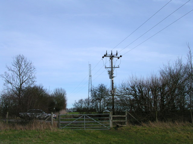
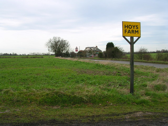
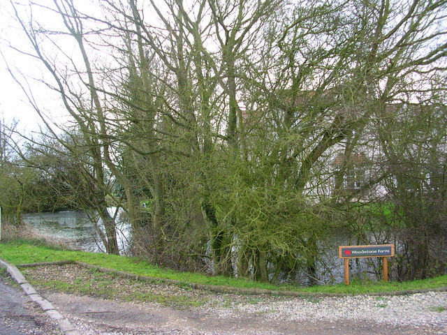
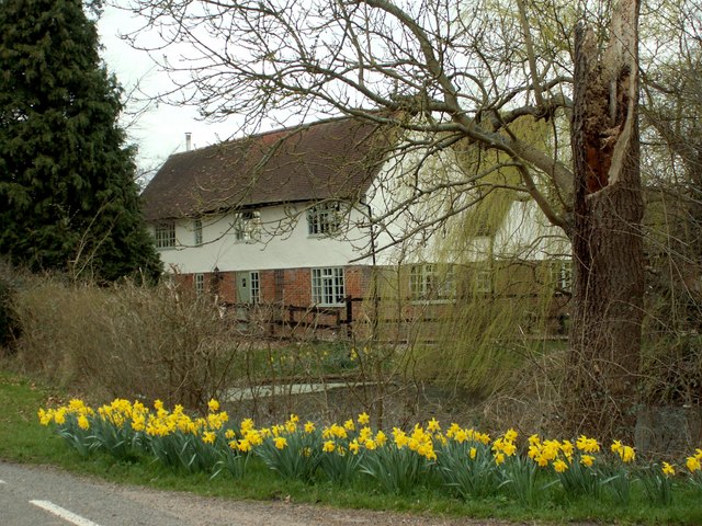
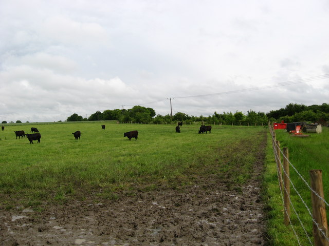
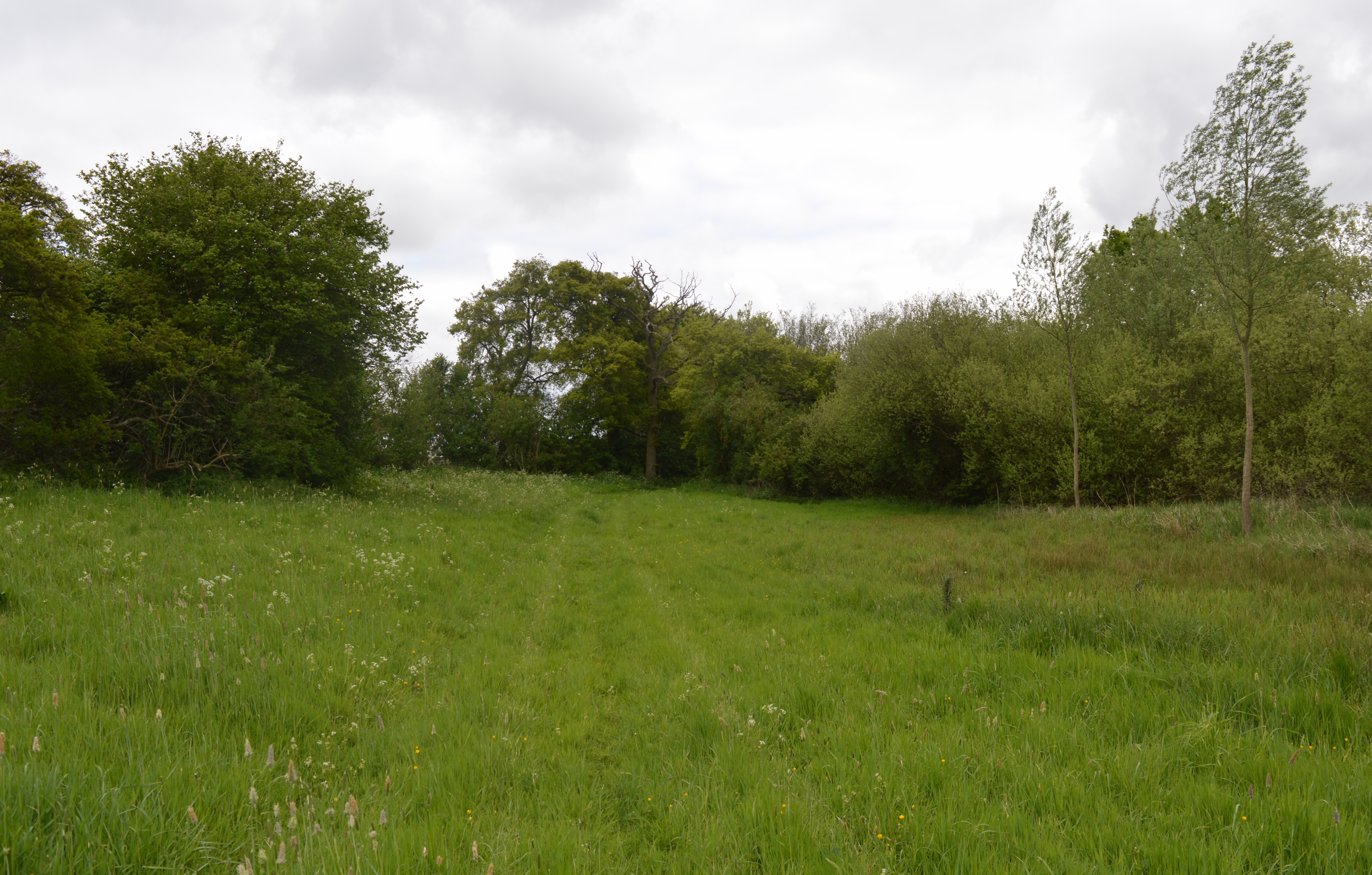
Frog's Green is a small village located in the county of Essex, England. Situated approximately 40 miles northeast of London, it falls within the Epping Forest district. The village is surrounded by picturesque countryside, characterized by rolling hills, farmland, and charming woodland areas.
Despite its small size, Frog's Green boasts a tight-knit community that takes pride in maintaining the village's rural charm. The village is home to a population of around 500 residents, who enjoy a peaceful and tranquil lifestyle away from the hustle and bustle of city living.
The village features a mix of traditional and modern architecture, with a range of residential properties, including cottages, farmhouses, and newer developments. There are also a handful of small businesses, such as local shops and cafes, serving the needs of both residents and visitors.
Frog's Green offers ample opportunities for outdoor activities, with numerous footpaths and nature trails crisscrossing the surrounding countryside. The village is particularly popular with hikers, cyclists, and nature enthusiasts who can explore the nearby Epping Forest, which is just a short distance away.
In terms of amenities, Frog's Green is well-served by public transportation, with regular bus services connecting the village to nearby towns and cities. Additionally, there is a primary school within the village, ensuring that families have access to quality education for their children.
Overall, Frog's Green offers a peaceful and idyllic setting for those seeking a rural lifestyle, while still being conveniently located within reach of larger urban areas.
If you have any feedback on the listing, please let us know in the comments section below.
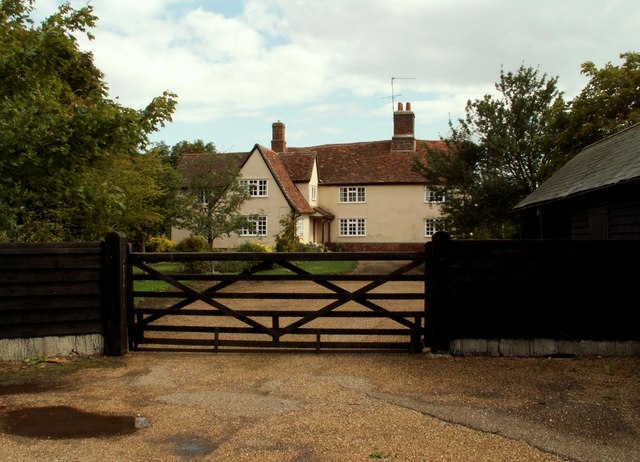
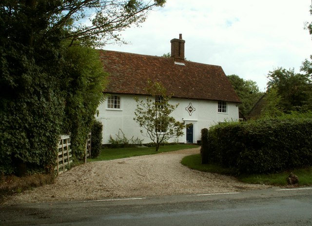
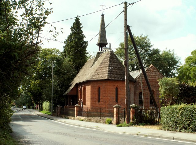
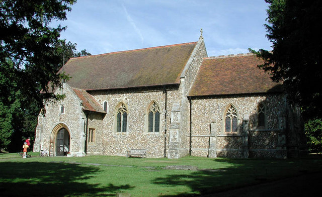
Frog's Green Images
Images are sourced within 2km of 52.015668/0.299562 or Grid Reference TL5737. Thanks to Geograph Open Source API. All images are credited.


Frog's Green is located at Grid Ref: TL5737 (Lat: 52.015668, Lng: 0.299562)
Administrative County: Essex
District: Uttlesford
Police Authority: Essex
What 3 Words
///recovery.grapevine.global. Near Saffron Walden, Essex
Nearby Locations
Related Wikis

Sewards End
Sewards End is a village and civil parish in the Uttlesford district of Essex, England. Its area is 1211 acres. It is set in the rolling countryside...

Wimbish
Wimbish is a village and civil parish within Uttlesford, in Essex, England. The first recorded mention of the village was in 1042, when it was referred...
Ashdon Meadows
Ashdon Meadows is a 1.5-hectare (3.7-acre) biological Site of Special Scientific Interest south of Ashdon in Essex.The site is unimproved grassland which...

Hales and Shadwell Woods
Hales and Shadwell Woods is a 15.4-hectare (38-acre) biological Site of Special Scientific Interest north-east of Saffron Walden in Essex. Shadwell Wood...

Acrow Halt railway station
Acrow Halt was a railway station on the Saffron Walden Railway. Located at the north-eastern edge of Saffron Walden, Essex, the station was close to the...

Radwinter
Radwinter is a village and a civil parish on the B1053 road, in the Uttlesford district of the county of Essex, England. The population in the 2011 census...

Carver Barracks
Carver Barracks is a British Army base on the former site of RAF Debden, approximately 1 mile north of the village of Debden, in Essex. The nearest town...

RAF Debden
Royal Air Force Debden or more simply RAF Debden is a former Royal Air Force station located 3 miles (4.8 km) southeast of Saffron Walden and approximately...
Nearby Amenities
Located within 500m of 52.015668,0.299562Have you been to Frog's Green?
Leave your review of Frog's Green below (or comments, questions and feedback).