Frognall

Settlement in Lincolnshire South Kesteven

England

Frognall

The Priory Church of Deeping St James Larger than your average Parish Church because it was a priory until the reformation. Norman arches, a graveside shelter and 12th C font to be found inside.
The Priory Church of Deeping St James Credit: Chris Stafford

Frognall is a small village located in the county of Lincolnshire, in the East Midlands region of England. Situated approximately 6 miles northeast of the town of Spalding, Frognall is a picturesque rural settlement that is known for its tranquility and natural beauty.

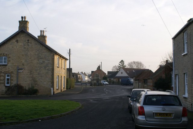
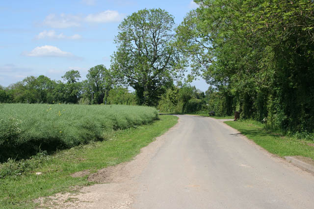
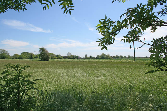
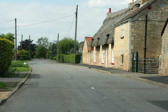
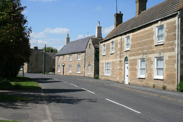
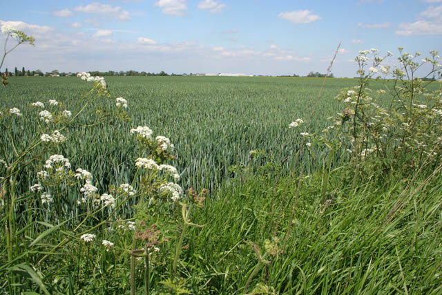
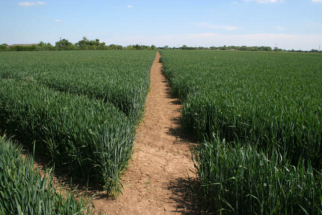
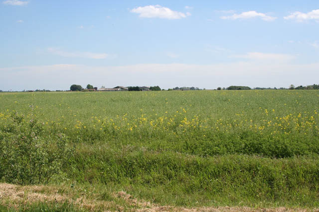
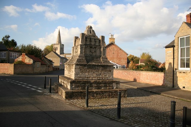
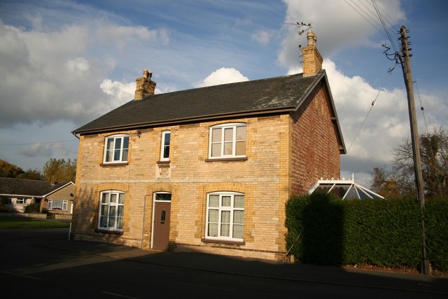
The village is characterized by charming cottages and houses, many of which date back to the 18th and 19th centuries, giving the area a distinct historical charm. The surrounding countryside is predominantly agricultural, with vast fields and meadows stretching out in all directions, providing a peaceful and idyllic setting.

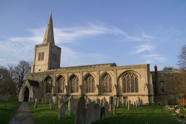
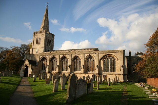
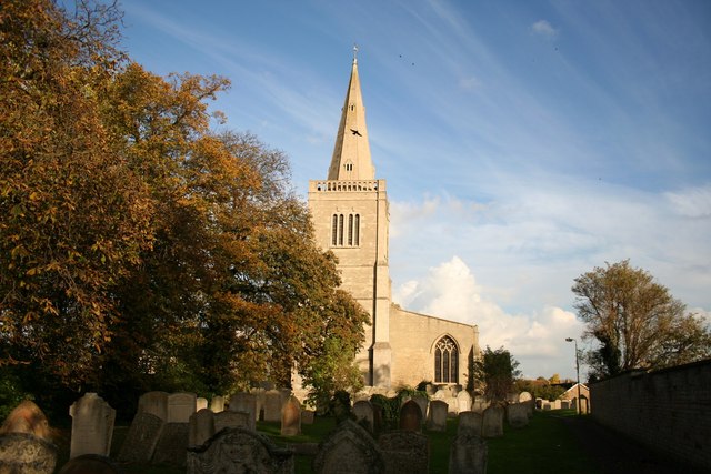
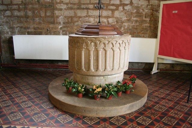
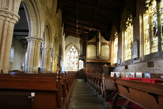
Frognall is also home to a small community church, St. Augustine's, which has been a central feature of village life for centuries. The church's architecture reflects its rich history, and it continues to serve as a place of worship and a gathering point for locals.

While Frognall is primarily a residential area, it offers easy access to nearby amenities. The town of Spalding, with its range of shops, restaurants, and services, is just a short drive away, providing residents with all the necessary conveniences. Additionally, the village benefits from excellent transport links, with major road networks and public transportation options connecting it to other parts of Lincolnshire and beyond.

Overall, Frognall is a charming and peaceful village, offering residents and visitors a tranquil escape from the bustle of modern life, all while providing easy access to nearby amenities and attractions.

If you have any feedback on the listing, please let us know in the comments section below.
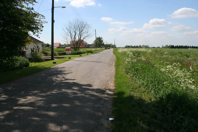
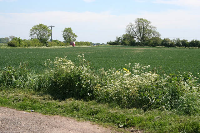
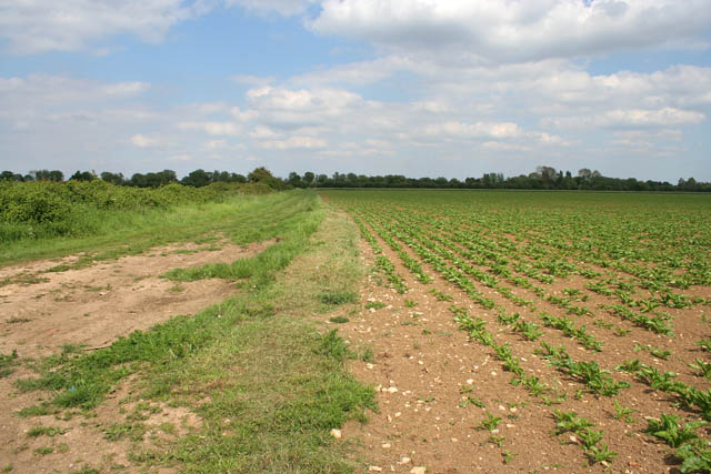
Frognall Images

Images are sourced within 2km of 52.67745/-0.28122 or Grid Reference TF1610. Thanks to Geograph Open Source API. All images are credited.

The Priory Church of Deeping St James Larger than your average Parish Church because it was a priory until the reformation. Norman arches, a graveside shelter and 12th C font to be found inside.
The Priory Church of Deeping St James
Larger than your average Parish Church because it was a priory until the reformation. Norman arches, a graveside shelter and 12th C font to be found inside.
Deeping St James village In the middle of the road area stands the old lock up. Notice the faint outline of an AWAC plane in the sky.
Deeping St James village
In the middle of the road area stands the old lock up. Notice the faint outline of an AWAC plane in the sky.
Sutton's Lane, Deeping Gate On the opposite side of the River Welland to Market Deeping, Deeping Gate is stretched out along Sutton's Lane with most of the houses being on the river side of the road. Spot the wheelie bin!
The oilseed rape on the left has finished flowering and the long seed pods are forming.
Sutton's Lane, Deeping Gate
On the opposite side of the River Welland to Market Deeping, Deeping Gate is stretched out along Sutton's Lane with most of the houses being on the river side of the road. Spot the wheelie bin! The oilseed rape on the left has finished flowering and the long seed pods are forming.
Arable farmland off Sutton's Lane It looks like wheat but it's difficult to tell this time of the year.
Arable farmland off Sutton's Lane
It looks like wheat but it's difficult to tell this time of the year.
Rippon's Drove Many of the lanes, tracks and country roads through the Fens carry the name "Drove", an old name given to routes that were used to move livestock.
Rippon's Drove
Many of the lanes, tracks and country roads through the Fens carry the name "Drove", an old name given to routes that were used to move livestock.
North Fen Looking towards Peakirk Road from Rippon's Drove.
North Fen
Looking towards Peakirk Road from Rippon's Drove.
Cottages on Eastgate, Deeping St James The main street through Deeping St James follows the contours of the River Welland. The houses on the right are mainly post war and back onto the river. When these stone cottages were built they would have had a clear view of the water.
Cottages on Eastgate, Deeping St James
The main street through Deeping St James follows the contours of the River Welland. The houses on the right are mainly post war and back onto the river. When these stone cottages were built they would have had a clear view of the water.
Giddeon's Drove One of many tracks that go nowhere in particular. The trees on the horizon follow the River Welland in Deeping St James.
Giddeon's Drove
One of many tracks that go nowhere in particular. The trees on the horizon follow the River Welland in Deeping St James.
Eastgate, Deeping St James Deeping St. James is a village lying next to Market Deeping, along the banks of the River Welland. The village grew up around a Benedictine Priory and stones from the ruined Priory were used in several 17th century buildings. These cottages look younger than that, probably early 19th Century. They show some fine detailing in the stonework. Originally they would have faced the river but 20th century development has taken place between the road and the Welland.
Eastgate, Deeping St James
Deeping St. James is a village lying next to Market Deeping, along the banks of the River Welland. The village grew up around a Benedictine Priory and stones from the ruined Priory were used in several 17th century buildings. These cottages look younger than that, probably early 19th Century. They show some fine detailing in the stonework. Originally they would have faced the river but 20th century development has taken place between the road and the Welland.
Prior's Meadow, Deeping St James Off Stowgate Road, this large field must have originally attached to the Benedictine Priory. The Priory was founded at Deeping St James in 1139 by Baldwin Fitzgilbert, a junior member of the Clare family, much favoured by King Henry I.
See <span class="nowrap"><a title="http://www.users.zetnet.co.uk/mwarrick/history/index.htm" rel="nofollow ugc noopener" href="http://www.users.zetnet.co.uk/mwarrick/history/index.htm">Link</a><img style="margin-left:2px;" alt="External link" title="External link - shift click to open in new window" src="https://s1.geograph.org.uk/img/external.png" width="10" height="10"/></span> for information about the Priory and church.
Prior's Meadow, Deeping St James
Off Stowgate Road, this large field must have originally attached to the Benedictine Priory. The Priory was founded at Deeping St James in 1139 by Baldwin Fitzgilbert, a junior member of the Clare family, much favoured by King Henry I. See LinkExternal link for information about the Priory and church.
Public footpath off Stowgate Road Well maintained footpaths on this farmland next to Priors Meadow Riding School.
Public footpath off Stowgate Road
Well maintained footpaths on this farmland next to Priors Meadow Riding School.
Farmland off Cranmore Drove The crop is oilseed rape: this field was a sea of yellow two weeks ago but now the all important seedpods are forming. The buildings in the distance are in <a href="https://www.geograph.org.uk/gridref/TF1809">TF1809</a>.
Farmland off Cranmore Drove
The crop is oilseed rape: this field was a sea of yellow two weeks ago but now the all important seedpods are forming. The buildings in the distance are in TF1809.
Priory church of Deeping St.James Originally founded in 1139 as part of a Benedictine Priory
Priory church of Deeping St.James
Originally founded in 1139 as part of a Benedictine Priory
Priory church of Deeping St.James West tower of the Priory church, though it looks medieval, it's actually c1730
Priory church of Deeping St.James
West tower of the Priory church, though it looks medieval, it's actually c1730
Deeping St.James cross 15th century market cross converted into a lockup in 1819
Deeping St.James cross
15th century market cross converted into a lockup in 1819
Eastgate house House on Eastgate near the church with a datestone of 1884
Eastgate house
House on Eastgate near the church with a datestone of 1884
Priory church font Circular Norman 12th century tub font with intersecting arches in the Priory church of Deeping St.James
Priory church font
Circular Norman 12th century tub font with intersecting arches in the Priory church of Deeping St.James
South Aisle Spacious south aisle in the Priory church of Deeping St.James
South Aisle
Spacious south aisle in the Priory church of Deeping St.James
Show me another place!

Frognall is located at Grid Ref: TF1610 (Lat: 52.67745, Lng: -0.28122)

Division: Parts of Kesteven

Administrative County: Lincolnshire

District: South Kesteven

Police Authority: Lincolnshire

What 3 Words

///broad.duplicity.cubs. Near Market Deeping, Lincolnshire

Nearby Locations

Frognall Rye Croft

Related Wikis

Frognall

Frognall is a small village in the South Kesteven district of Lincolnshire, England. It is situated just north-east of Deeping St James , to which it is...

Deeping St James Priory

Deeping St James Priory was a priory in Deeping St James, Lincolnshire, England. It was a dependency of Thorney Abbey. == History == In 1139 Baldwin Fitz...

The Deepings School

The Deepings School is a coeducational secondary school and sixth form with academy status, located on Park Road in Deeping St James (near Peterborough...

Deeping St James

Deeping St James is a large village in the South Kesteven district of Lincolnshire, England. The population of the civil parish (including Frognall) was...

Nearby Amenities

Located within 500m of 52.67745,-0.28122
Frognall
Place: village
Source: Bing
Lat/Long: 52.6777139/-0.2814096
Rye Croft
Place: locality
Source: Bing
Lat/Long: 52.6759371/-0.2812984
Pub
The Goat
Addr City: Deeping St James
Addr Housenumber: 155
Addr Postcode: PE6 8SA
Addr Street: Spalding Road
Fhrs Authority: South Kesteven
Fhrs Id: 237655
Fhrs Local Authority Id: 4433
Lat/Long: 52.6801174/-0.2807988
Willow Lodge
Place: isolated_dwelling
Lat/Long: 52.6810603/-0.277893
Crossing
Bicycle: yes
Crossing: unmarked
Crossing Markings: no
Kerb: lowered
Source: Bing;survey
Lat/Long: 52.678771/-0.2849569
Crossing
Bicycle: dismount
Crossing: unmarked
Crossing Markings: no
Fixme: check
Source: seen on journey
Lat/Long: 52.6790241/-0.2838546
Generator Method: photovoltaic
Generator Output Electricity: yes
Generator Solar Modules: 3
Generator Source: solar
Generator Type: solar_photovoltaic_panel
Location: roof
Power: generator
Lat/Long: 52.6772798/-0.2817795
Generator Method: photovoltaic
Generator Output Electricity: yes
Generator Source: solar
Generator Type: solar_photovoltaic_panel
Location: roof
Power: generator
Lat/Long: 52.6770066/-0.2816856
Generator Method: photovoltaic
Generator Output Electricity: yes
Generator Solar Modules: 2
Generator Source: solar
Generator Type: solar_photovoltaic_panel
Location: roof
Power: generator
Lat/Long: 52.677109/-0.2837174
Generator Method: photovoltaic
Generator Output Electricity: yes
Generator Solar Modules: 3
Generator Source: solar
Generator Type: solar_photovoltaic_panel
Location: roof
Power: generator
Lat/Long: 52.6771212/-0.2837616
Generator Method: photovoltaic
Generator Output Electricity: yes
Generator Solar Modules: 7
Generator Source: solar
Generator Type: solar_photovoltaic_panel
Location: roof
Power: generator
Lat/Long: 52.6771611/-0.2837563
Generator Method: photovoltaic
Generator Output Electricity: yes
Generator Solar Modules: 2
Generator Source: solar
Generator Type: solar_photovoltaic_panel
Location: roof
Power: generator
Lat/Long: 52.6752421/-0.2875543
Generator Method: photovoltaic
Generator Output Electricity: yes
Generator Source: solar
Generator Type: solar_photovoltaic_panel
Location: roof
Power: generator
Lat/Long: 52.6749022/-0.2868569
Generator Method: photovoltaic
Generator Output Electricity: yes
Generator Solar Modules: 16
Generator Source: solar
Generator Type: solar_photovoltaic_panel
Location: roof
Power: generator
Lat/Long: 52.6750209/-0.2868274
Generator Method: photovoltaic
Generator Output Electricity: yes
Generator Solar Modules: 14
Generator Source: solar
Generator Type: solar_photovoltaic_panel
Location: roof
Power: generator
Lat/Long: 52.6764341/-0.2874818
Generator Method: photovoltaic
Generator Output Electricity: yes
Generator Solar Modules: 16
Generator Source: solar
Generator Type: solar_photovoltaic_panel
Location: roof
Power: generator
Lat/Long: 52.6761609/-0.2882651
Crossing
Lat/Long: 52.6788756/-0.2849831
Crossing
Lat/Long: 52.6788547/-0.2850848
Crossing
Lat/Long: 52.6786358/-0.2823019
Crossing
Lat/Long: 52.6789301/-0.2826127
Crossing
Lat/Long: 52.6789079/-0.2827151
Crossing
Lat/Long: 52.6791722/-0.2828269
Legacy Contracting Ltd
Addr City: Peterborough
Addr Country: GB
Addr Housename: Primrose Cottage
Addr Postcode: PE6 8RR
Addr Street: Frognall
Description: Private limited company, construction of commercial and domestic buildings.
Office: company
Source: local knowledge
Lat/Long: 52.6772835/-0.2846521
The data included in this document is from www.openstreetmap.org. The data is made available under ODbL.

Have you been to Frognall?

Leave your review of Frognall below (or comments, questions and feedback).