Frognal

Settlement in Ayrshire

Scotland

Frognal

Now where is that little white ball? Golfers enjoying a round of golf move down the fairway for their next shot
Now where is that little white ball? Credit: Ian Rainey

Frognal is a small village located in the region of Ayrshire, Scotland. Situated approximately 2 miles east of the town of Beith, Frognal is a charming rural settlement nestled amidst the picturesque countryside of South West Scotland.

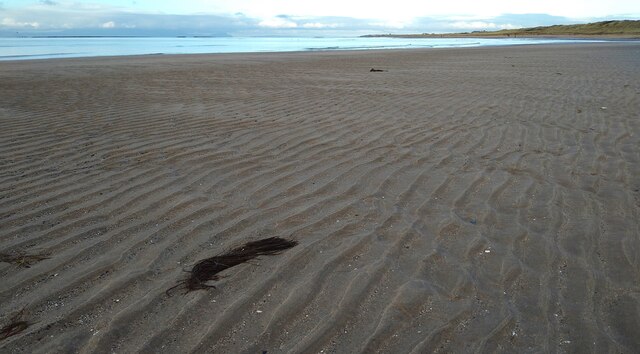
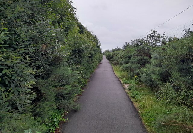
The village is known for its tranquil ambiance and stunning natural beauty. Surrounded by rolling hills and lush green fields, Frognal offers its residents and visitors an idyllic setting to relax and enjoy the serenity of the countryside. The nearby Frognal Loch adds to the scenic appeal of the area, providing opportunities for leisurely walks and birdwatching.

Despite its small size, Frognal boasts a strong sense of community. The village is home to a close-knit population who actively participate in various community events and initiatives. The local primary school and community center serve as hubs for social gatherings and activities, fostering a strong bond among the residents.

Frognal offers limited amenities, with a small convenience store catering to basic needs. However, the nearby town of Beith provides a wider range of services, including shops, supermarkets, restaurants, and healthcare facilities.

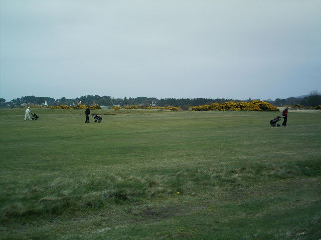
For those seeking outdoor activities, the surrounding area of Ayrshire offers ample opportunities for hiking, fishing, and golfing. The proximity to the coast provides easy access to stunning beaches, such as Irvine Beach and Troon Beach, which are popular destinations for locals and tourists alike.

In conclusion, Frognal is a peaceful village in Ayrshire, Scotland, offering a scenic countryside setting, a sense of community, and easy access to nearby amenities and outdoor activities.

If you have any feedback on the listing, please let us know in the comments section below.
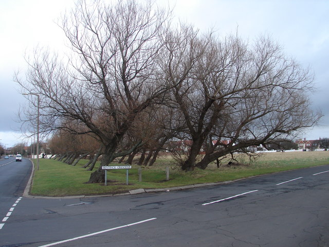
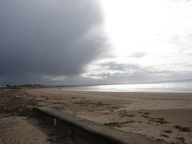
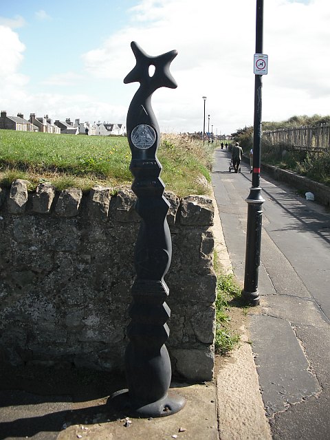
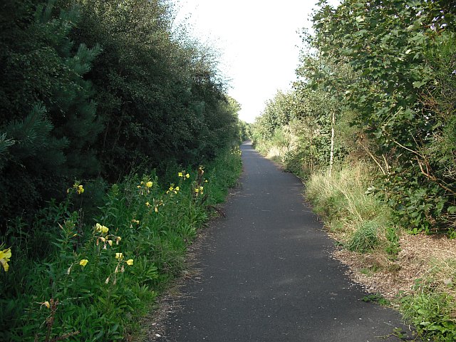
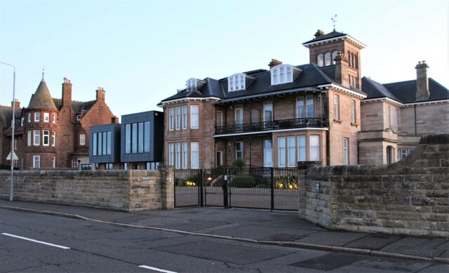
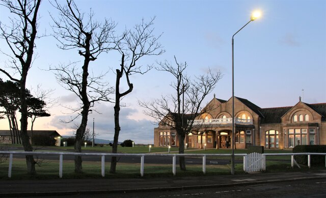
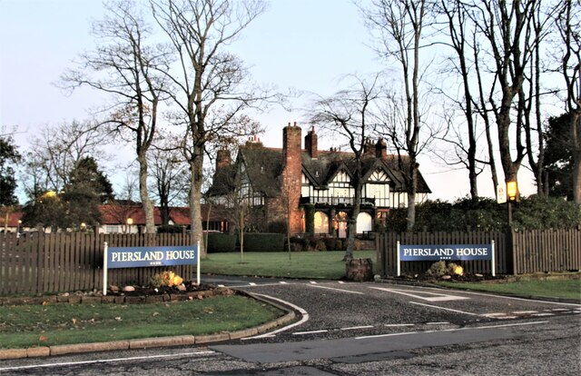
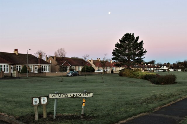
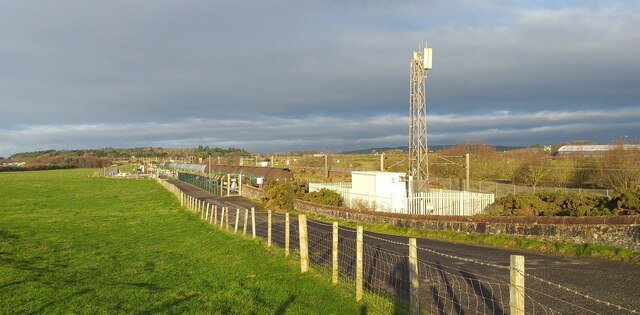
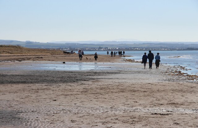
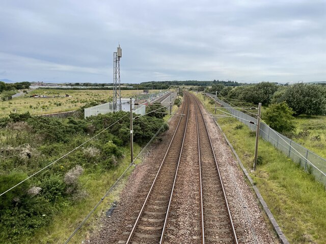
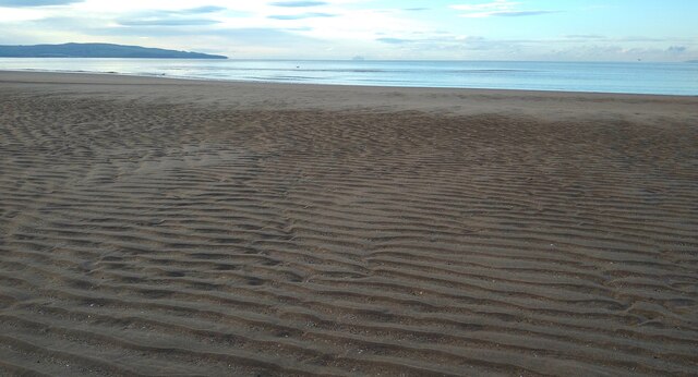
Frognal Images

Images are sourced within 2km of 55.526427/-4.6313763 or Grid Reference NS3429. Thanks to Geograph Open Source API. All images are credited.

Now where is that little white ball? Golfers enjoying a round of golf move down the fairway for their next shot
Now where is that little white ball?
Golfers enjoying a round of golf move down the fairway for their next shot
Fullarton House converted stables Although Fullarton House was demolished in 1966 the stables were converted into private apartments as this photo shows. Fullarton House was part of an estate which now provides popular secluded tracks for walking and observing the local wildlife such as Green Woodpeckers, Great Spotted Woodpeckers, Willow Warbler etc.
Fullarton House converted stables
Although Fullarton House was demolished in 1966 the stables were converted into private apartments as this photo shows. Fullarton House was part of an estate which now provides popular secluded tracks for walking and observing the local wildlife such as Green Woodpeckers, Great Spotted Woodpeckers, Willow Warbler etc.
Leaning Trees This avenue of leaning trees alongside Bentinck Crescent may not last much longer as many of the overhanging trunks are being made safe.
Leaning Trees
This avenue of leaning trees alongside Bentinck Crescent may not last much longer as many of the overhanging trunks are being made safe.
Avenue of Leaning Trees at Bentinck Drive The left side of the picture indicates that the overhanging trunks may not last much longer, as many are being made safe.
Avenue of Leaning Trees at Bentinck Drive
The left side of the picture indicates that the overhanging trunks may not last much longer, as many are being made safe.
Public Open Space at Bentinck Crescent There is a vast expanse of open space right in the heart of this crescent of expensive housing.  I wonder if it will ever be developed?
Public Open Space at Bentinck Crescent
There is a vast expanse of open space right in the heart of this crescent of expensive housing. I wonder if it will ever be developed?
South Sands, Troon The bay continues southwards from here in an arc that takes in Prestwick and Ayr, then ends at the Heads of Ayr.  The venue for several Open Golf Tournaments lies beyond the two figures on the beach.
South Sands, Troon
The bay continues southwards from here in an arc that takes in Prestwick and Ayr, then ends at the Heads of Ayr. The venue for several Open Golf Tournaments lies beyond the two figures on the beach.
National Cycle Network mile post On route 7 in Troon.
National Cycle Network mile post
On route 7 in Troon.
Glasgow, Paisley, Kilmarnock and Ayr Railway The original alignment of the railway serving Troon Old Station. Now it is a cycle/foot path along its southern stretch and services use a loop line which passes nearer the harbour.
Glasgow, Paisley, Kilmarnock and Ayr Railway
The original alignment of the railway serving Troon Old Station. Now it is a cycle/foot path along its southern stretch and services use a loop line which passes nearer the harbour.
Crosbie Tower, South Beach A 19th century villa, became a hotel in the 20th century and is now high quality residential apartments.
Crosbie Tower, South Beach
A 19th century villa, became a hotel in the 20th century and is now high quality residential apartments.
Daybreak at Royal Troon Golf Club
Piersland House, a hotel
Wemyss Crescent at daybreak
Service road near Prestwick A service road near Prestwick.
Service road near Prestwick
A service road near Prestwick.
A sunny spring Saturday on South Sands
Monkton railway station (site), Ayrshire Opened in 1839 by the Glasgow, Paisley, Kilmarnock & Ayr Railway, later part of the Glasgow & South Western Railway, this station closed in 1940.
View north. Both the 1857 OS map and later photographs show 2 parallel platforms here with the main station building being on the right. All were demolished after closure. The lines were electrified in 1986. The sidings to the left of the line are for fuel oil delivery - Prestwick Airport is just out of view to the right.
Monkton railway station (site), Ayrshire
Opened in 1839 by the Glasgow, Paisley, Kilmarnock & Ayr Railway, later part of the Glasgow & South Western Railway, this station closed in 1940. View north. Both the 1857 OS map and later photographs show 2 parallel platforms here with the main station building being on the right. All were demolished after closure. The lines were electrified in 1986. The sidings to the left of the line are for fuel oil delivery - Prestwick Airport is just out of view to the right.
Low tide near the mouth of the Pow Burn A shadowy Ailsa Craig is just visible in the distance.
Low tide near the mouth of the Pow Burn
A shadowy Ailsa Craig is just visible in the distance.
Low tide near the mouth of the Pow Burn
Ayrshire Coastal Path On the Ayrshire Coastal Path on the section between Troon and Prestwick Airport.
Ayrshire Coastal Path
On the Ayrshire Coastal Path on the section between Troon and Prestwick Airport.
Show me another place!

Frognal is located at Grid Ref: NS3429 (Lat: 55.526427, Lng: -4.6313763)

Unitary Authority: South Ayrshire

Police Authority: Ayrshire

What 3 Words

///dumplings.surnames.balconies. Near Troon, South Ayrshire

Nearby Locations

South Wood Frognal

Related Wikis

Reed Loch

The Reed Loch was also known as Loch Green. As a curling pond it was probably known as the Fullarton House Pond, located as it was on the edge of the Fullarton...

Marr RFC

Marr RFC is a rugby union team based in Troon, Ayrshire, Scotland. They play in the Scottish Premiership. == History == Marr play their home games at Fullarton...

1923 Open Championship

The 1923 Open Championship was the 58th Open Championship, held 14–15 June at Troon Golf Club in Troon, South Ayrshire, Scotland. Arthur Havers holed a...

1962 Open Championship

The 1962 Open Championship was the 91st Open Championship, played from 11 to 13 July at Troon Golf Club in Troon, Scotland. Arnold Palmer won his second...

Nearby Amenities

Located within 500m of 55.526427,-4.6313763
The data included in this document is from www.openstreetmap.org. The data is made available under ODbL.

Have you been to Frognal?

Leave your review of Frognal below (or comments, questions and feedback).