Grantlodge

Settlement in Aberdeenshire

Scotland

Grantlodge

Burn of Blairdaff Geocaching is a type of global treasure hunt of people looking for caches, or hidden stashes of objects. Geocaching may also be described as a series of hide-and-seek games, where hiders provide online clues for seekers. Seekers use global positioning system (GPS) devices to find hidden caches
Burn of Blairdaff Credit: Ralph Greig

The requested URL returned error: 429 Too Many Requests

If you have any feedback on the listing, please let us know in the comments section below.
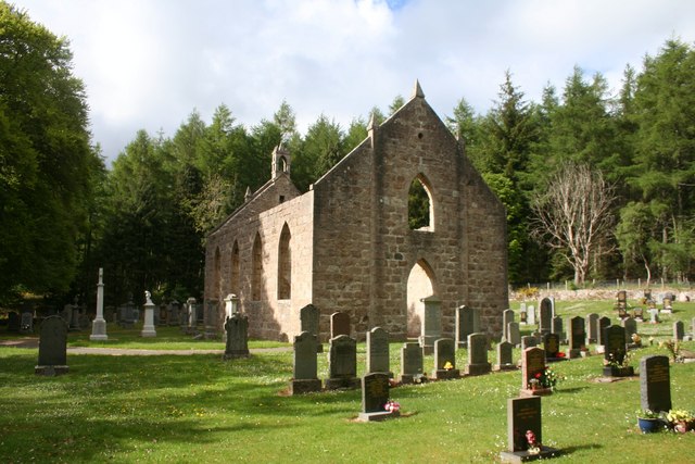
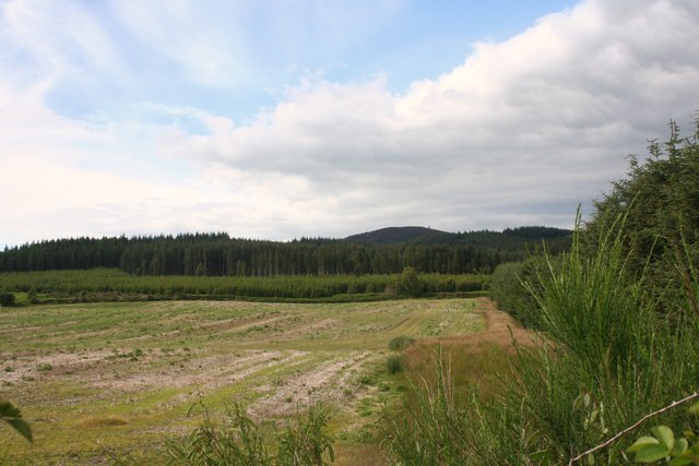
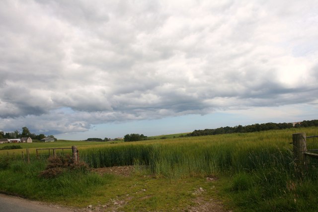
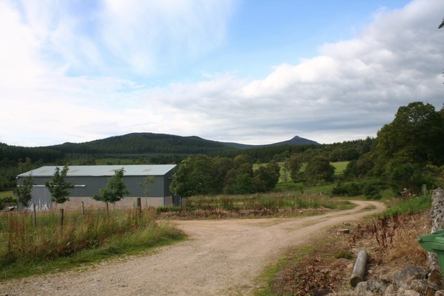
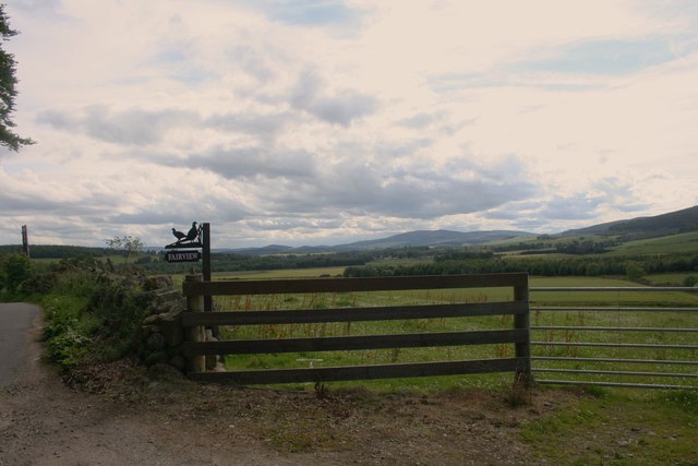
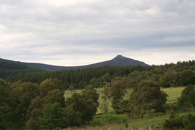
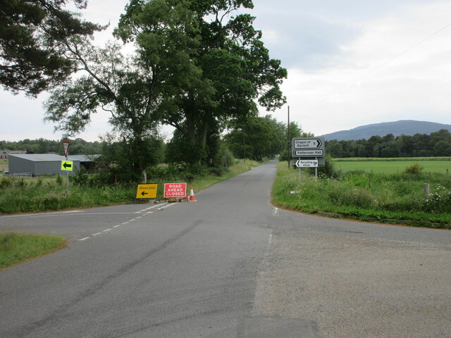
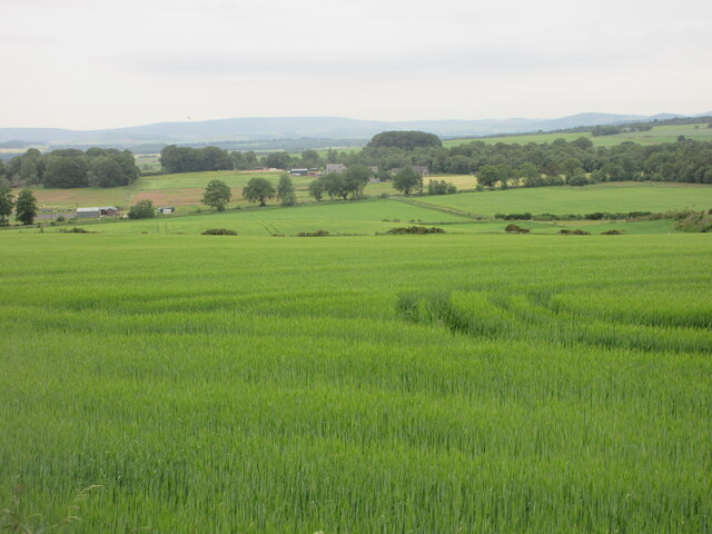
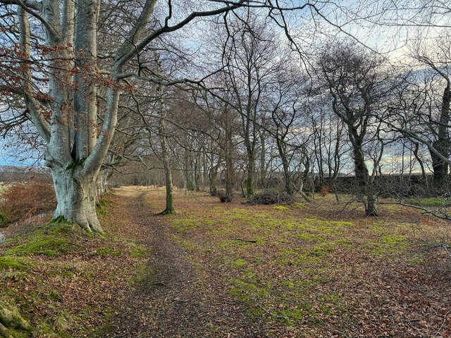
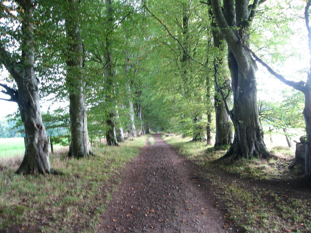
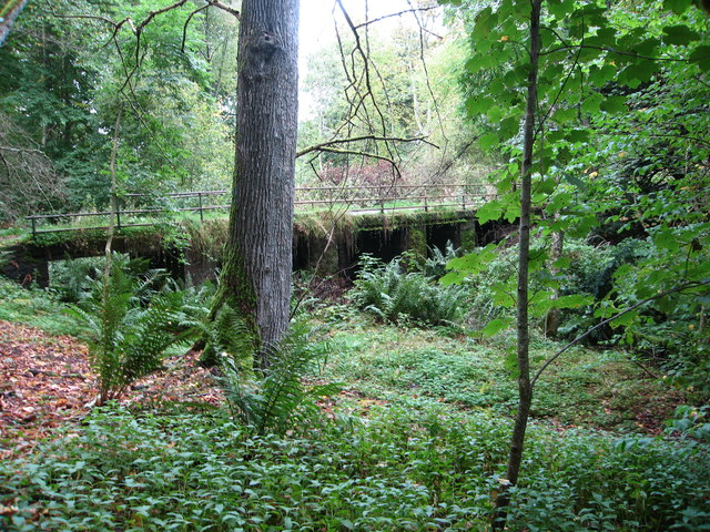
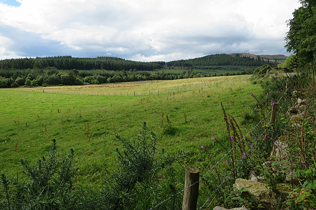
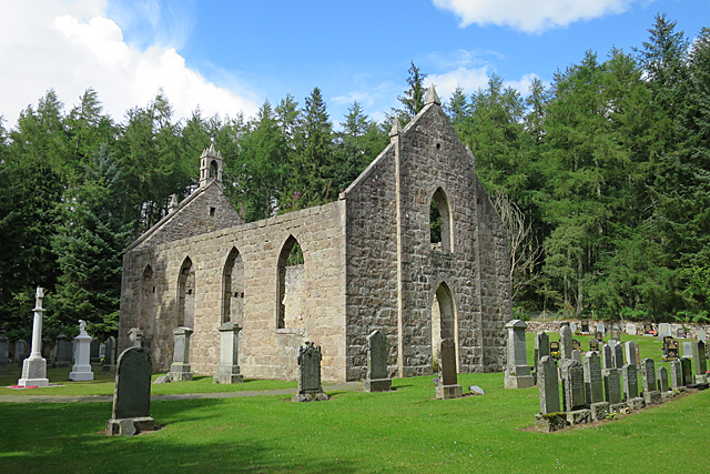
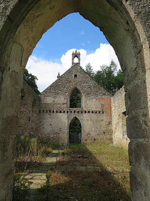
Grantlodge Images

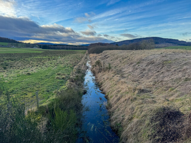
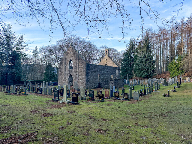
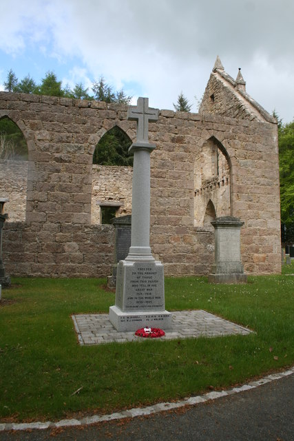
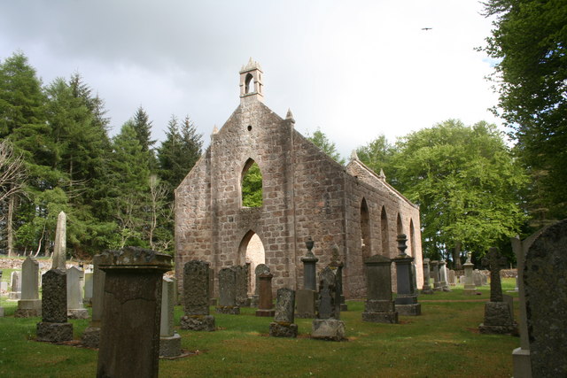
Images are sourced within 2km of 57.244238/-2.4902169 or Grid Reference NJ7017. Thanks to Geograph Open Source API. All images are credited.

Burn of Blairdaff Geocaching is a type of global treasure hunt of people looking for caches, or hidden stashes of objects. Geocaching may also be described as a series of hide-and-seek games, where hiders provide online clues for seekers. Seekers use global positioning system (GPS) devices to find hidden caches
Burn of Blairdaff
Geocaching is a type of global treasure hunt of people looking for caches, or hidden stashes of objects. Geocaching may also be described as a series of hide-and-seek games, where hiders provide online clues for seekers. Seekers use global positioning system (GPS) devices to find hidden caches
Blairdaff kirk Geocaching is a type of global treasure hunt of people looking for caches, or hidden stashes of objects. Geocaching may also be described as a series of hide-and-seek games, where hiders provide online clues for seekers. Seekers use global positioning system (GPS) devices to find hidden caches
Blairdaff kirk
Geocaching is a type of global treasure hunt of people looking for caches, or hidden stashes of objects. Geocaching may also be described as a series of hide-and-seek games, where hiders provide online clues for seekers. Seekers use global positioning system (GPS) devices to find hidden caches
War Memorial at Blairdaff A memorial in the grounds of the ruined church at Blairdaff.
War Memorial at Blairdaff
A memorial in the grounds of the ruined church at Blairdaff.
Blairdaff Church The ruinous church at Blairdaff.
Blairdaff Church
The ruinous church at Blairdaff.
Blairdaff Churchyard The churchyard and earview of the ruined church at Blairdaff.
Blairdaff Churchyard
The churchyard and earview of the ruined church at Blairdaff.
Farmland by Bairdaff Fields by woodland at Blairdaff with Scare Hill behind.
Farmland by Bairdaff
Fields by woodland at Blairdaff with Scare Hill behind.
Barley Field Barley in a field by Blairdaff.
Barley Field
Barley in a field by Blairdaff.
Fairview Farm Fairview farm by Blairdaff.
Fairview Farm
Fairview farm by Blairdaff.
Fairview Farm Sign The roadside sign for Fairview Farm beside a field gate.
Fairview Farm Sign
The roadside sign for Fairview Farm beside a field gate.
The View at Fairview A view over farmland and woodland to Bennachie from the appropriately named Fairview.
The View at Fairview
A view over farmland and woodland to Bennachie from the appropriately named Fairview.
Road closed and diversion Road closed heading west near Fetternear Hall.
Road closed and diversion
Road closed heading west near Fetternear Hall.
Green field near Overton Looking south over fields and distant Aberdeenshire, near Overton.
Green field near Overton
Looking south over fields and distant Aberdeenshire, near Overton.
Woodland walk Geocaching is a type of global treasure hunt of people looking for caches, or hidden stashes of objects. Geocaching may also be described as a series of hide-and-seek games, where hiders provide online clues for seekers. Seekers use global positioning system (GPS) devices to find hidden caches
Woodland walk
Geocaching is a type of global treasure hunt of people looking for caches, or hidden stashes of objects. Geocaching may also be described as a series of hide-and-seek games, where hiders provide online clues for seekers. Seekers use global positioning system (GPS) devices to find hidden caches
Beech lined track leading towards Kemnay This looks as though it may have originally been the main exit drive from the nearby ruined Fetternear House
Beech lined track leading towards Kemnay
This looks as though it may have originally been the main exit drive from the nearby ruined Fetternear House
Narrow bridge over Marshes Burn Near the ruined Fetternear House and Bishop's Palace
Narrow bridge over Marshes Burn
Near the ruined Fetternear House and Bishop's Palace
Looking towards Longfold Longfold is in this square but is hidden by the lie of the land.
Looking towards Longfold
Longfold is in this square but is hidden by the lie of the land.
Blairdaff Kirk The now roofless kirk was built as a chapel of ease in 1839, but I have failed to find out, so far, by whom. The graveyard is still in use, but the kirk was closed in 1954 and the congregation transferred to the former Free Kirk <a href="https://www.geograph.org.uk/photo/5501844">NJ7017 : Blairdaff United Free Kirk</a>.
Blairdaff Kirk
The now roofless kirk was built as a chapel of ease in 1839, but I have failed to find out, so far, by whom. The graveyard is still in use, but the kirk was closed in 1954 and the congregation transferred to the former Free Kirk NJ7017 : Blairdaff United Free Kirk.
Blairdaff Kirk Looking into the building through the south-east doorway.
Blairdaff Kirk
Looking into the building through the south-east doorway.
Show me another place!

Grantlodge is located at Grid Ref: NJ7017 (Lat: 57.244238, Lng: -2.4902169)

Unitary Authority: Aberdeenshire

Police Authority: North East

What 3 Words

///grounding.fired.suspect. Near Kemnay, Aberdeenshire

Nearby Locations

Grantlodge Red Moss

Related Wikis

Blairdaff

Blairdaff is a parish in Garioch, Aberdeenshire, Scotland, next to the villages of Kemnay and Monymusk. Blairdaff had a grocery store, a post office, and...

Bograxie

Bograxie is a farm in Aberdeenshire, Scotland. == References ==

Fetternear Palace

Fetternear Bishop's Palace is an archaeological site of what was one of the palaces (or residences) of the medieval bishops of Aberdeen. It is near Kemnay...

House of Monymusk

The House of Monymusk is located on the outskirts of the Scottish village of Monymusk, in the Marr region of Aberdeenshire. The house is located near the...

Nearby Amenities

Located within 500m of 57.244238,-2.4902169
Power: pole
Lat/Long: 57.2436146/-2.498128
Power: pole
Lat/Long: 57.2442995/-2.4975622
Power: pole
Lat/Long: 57.2450118/-2.4969875
Power: pole
Lat/Long: 57.2456229/-2.4964702
Power: pole
Lat/Long: 57.2461863/-2.4960254
Power: pole
Lat/Long: 57.2467485/-2.4961972
Power: pole
Lat/Long: 57.2407352/-2.4906381
Power: pole
Lat/Long: 57.240435/-2.4918776
Power: pole
Lat/Long: 57.240142/-2.4930841
Power: pole
Lat/Long: 57.24277/-2.4967674
Power: pole
Lat/Long: 57.243063/-2.4975159
Power: pole
Lat/Long: 57.245175/-2.4917873
Power: pole
Lat/Long: 57.2455622/-2.492199
Power: pole
Lat/Long: 57.2457635/-2.4934363
Power: pole
Lat/Long: 57.2459421/-2.4945393
Power: pole
Lat/Long: 57.2451149/-2.4846748
Power: pole
Lat/Long: 57.2447561/-2.4837523
Power: pole
Lat/Long: 57.244293/-2.482557
The data included in this document is from www.openstreetmap.org. The data is made available under ODbL.

Have you been to Grantlodge?

Leave your review of Grantlodge below (or comments, questions and feedback).