Granish
Settlement in Inverness-shire
Scotland
Granish
The requested URL returned error: 429 Too Many Requests
If you have any feedback on the listing, please let us know in the comments section below.
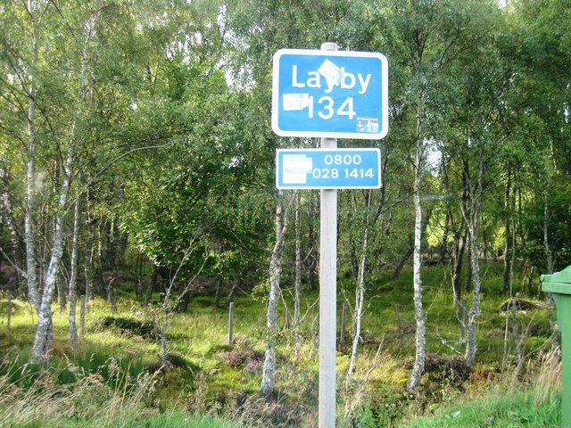
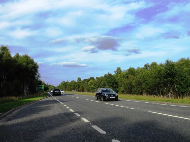
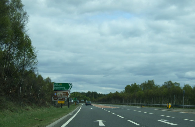
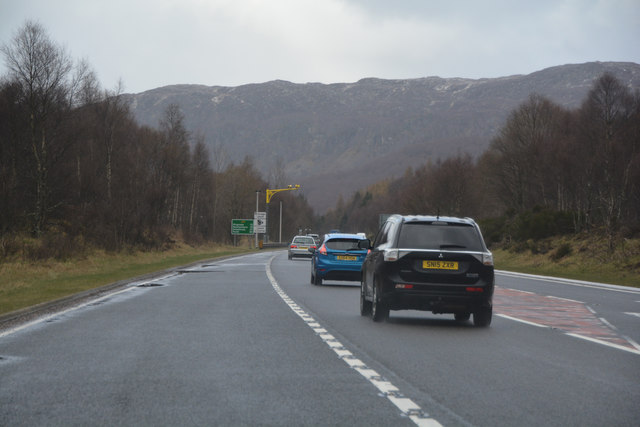
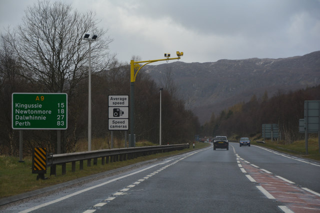
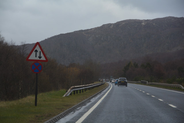
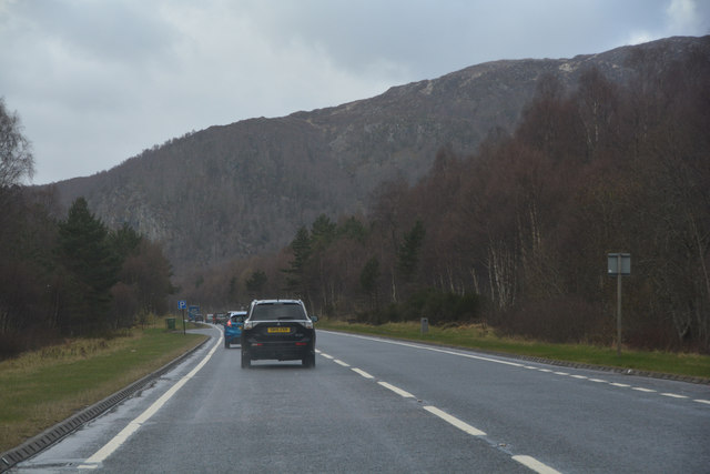
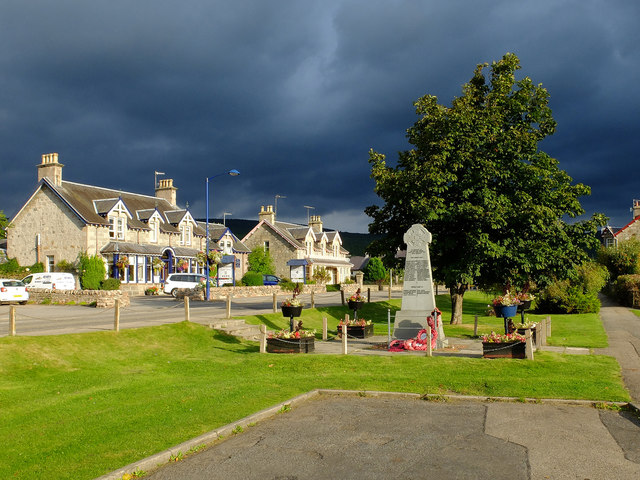
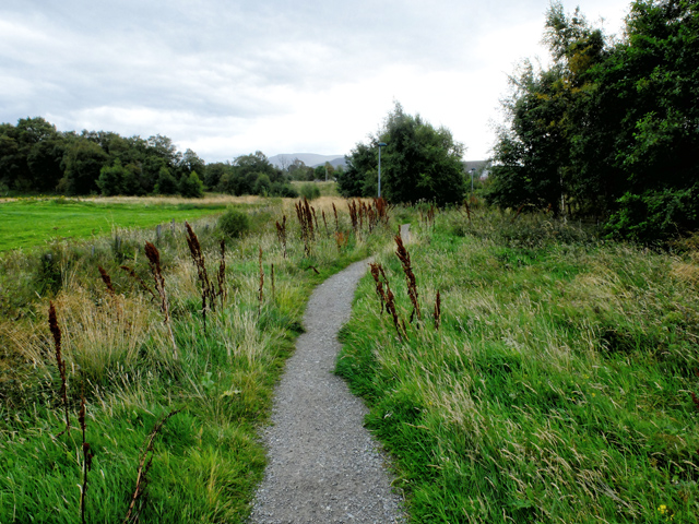
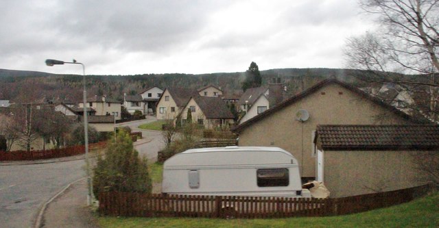
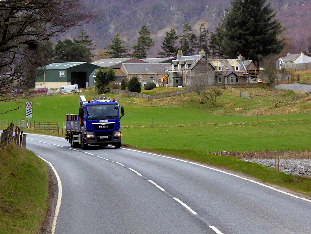
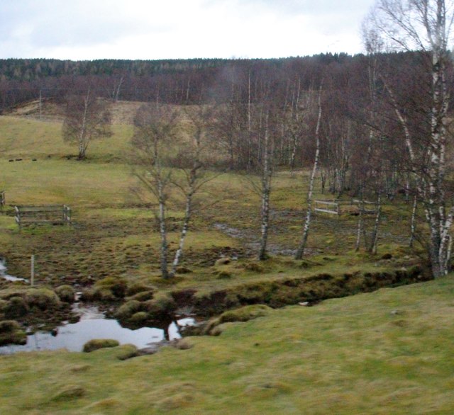
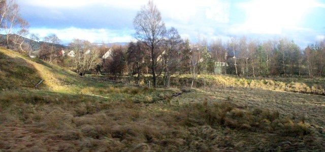
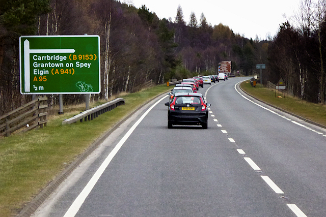
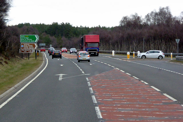
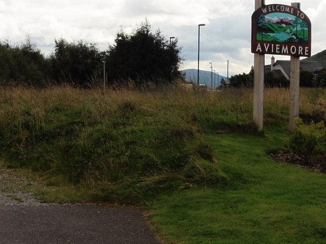
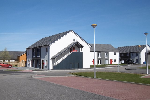
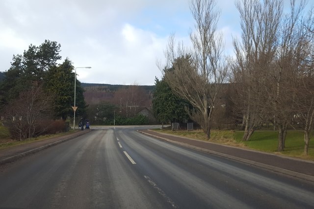
Granish Images
Images are sourced within 2km of 57.209958/-3.8238679 or Grid Reference NH8914. Thanks to Geograph Open Source API. All images are credited.
Granish is located at Grid Ref: NH8914 (Lat: 57.209958, Lng: -3.8238679)
Unitary Authority: Highland
Police Authority: Highlands and Islands
What 3 Words
///initiates.boggles.explain. Near Aviemore, Highland
Nearby Locations
Related Wikis
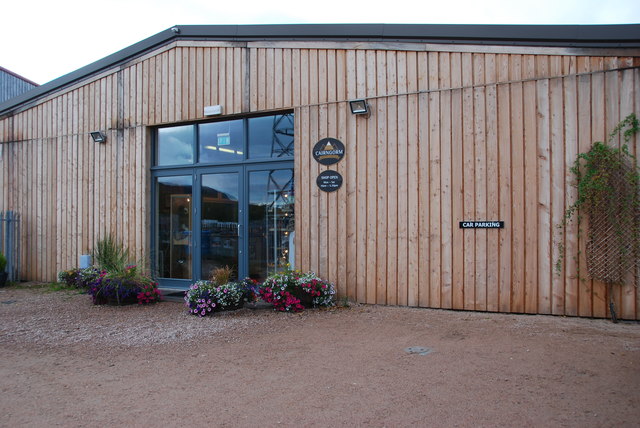
Cairngorm Brewery
Cairngorm Brewery is a brewery based in Aviemore in the Highlands of Scotland. It is situated on the Dalfaber industrial estate at the north end of the...

Clava cairns of Aviemore
There are three Clava cairns in or near the Scottish Highland town of Aviemore. All three were described by Caleb George Cash, an honorary fellow of the...
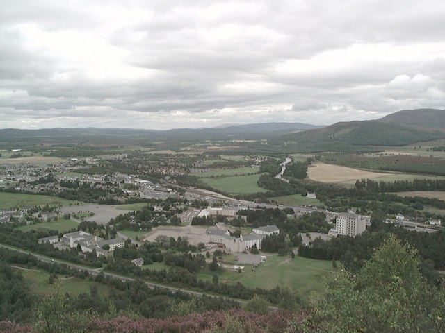
Aviemore
Aviemore ( ; Scottish Gaelic: An Aghaidh Mhòr [ən̪ˠ ˈɤːɪ ˈvoːɾ]) is a town and tourist resort, situated within the Cairngorms National Park in the Highlands...

Avielochan
Avielochan (Scottish Gaelic: Aghaidh an Lochain) is a hamlet in the historical county of Inverness-shire, within the Highland council area of Scotland...
Nearby Amenities
Located within 500m of 57.209958,-3.8238679Have you been to Granish?
Leave your review of Granish below (or comments, questions and feedback).