Red Moss
Wood, Forest in Aberdeenshire
Scotland
Red Moss

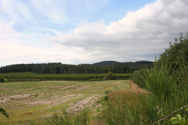
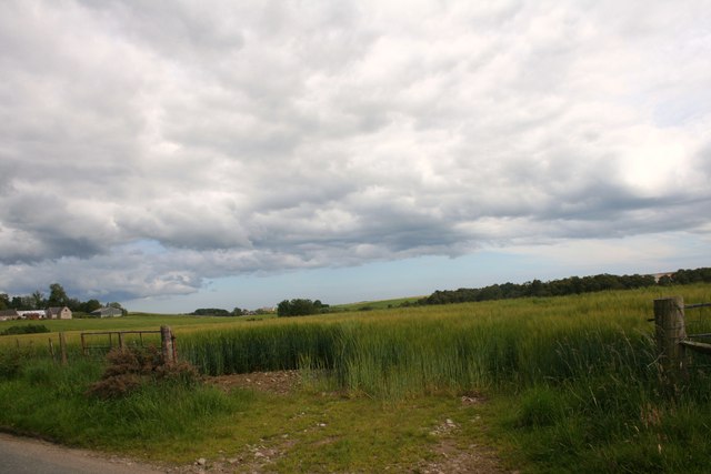
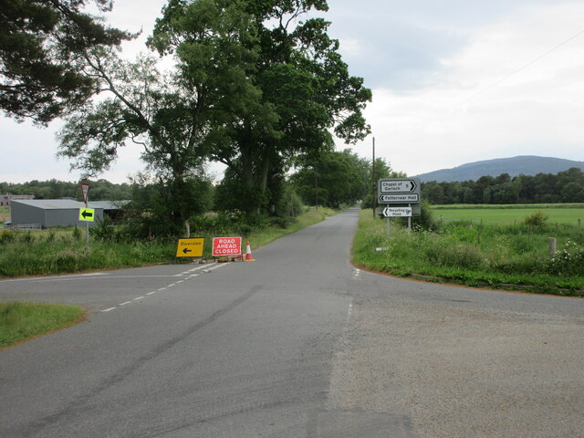
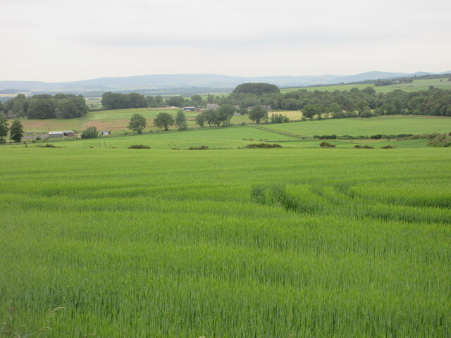
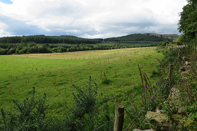
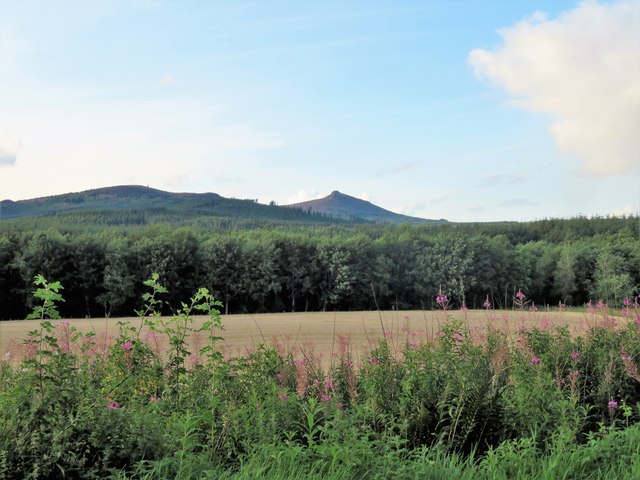
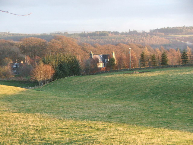
Red Moss is a woodland located in Aberdeenshire, Scotland. The moss is situated approximately 8 miles west of the town of Aberdeen and covers an area of around 20 hectares. It is a popular destination for both locals and tourists due to its natural beauty and diverse range of flora and fauna.
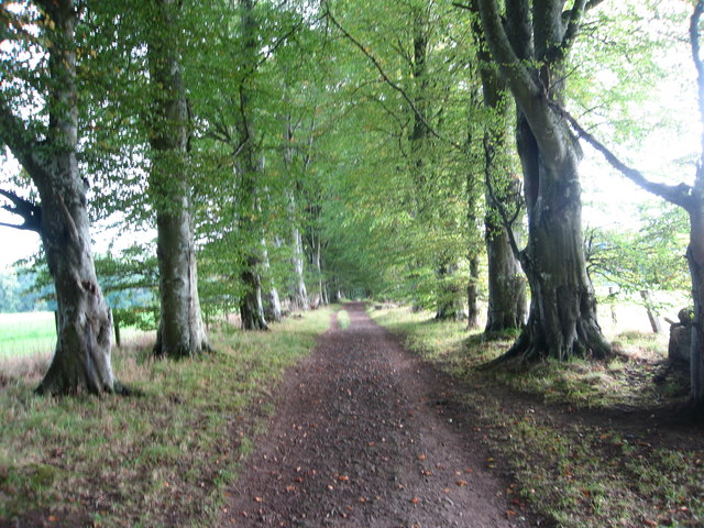
The woodland is predominantly composed of mature trees, including oak, birch, and rowan, which create a dense canopy, providing shade and shelter for a variety of wildlife. The forest floor is covered in a thick layer of moss, hence the name, which gives the area a vibrant red hue, particularly during autumn.
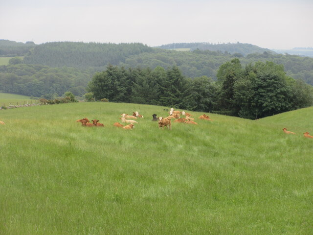
Red Moss is home to a wide range of plant species, including ferns, wildflowers, and fungi. The moist and acidic soil conditions provide an ideal habitat for mosses and lichens, which thrive in abundance. This unique ecosystem supports a diverse array of insect and bird life, with species such as woodpeckers, owls, and butterflies commonly spotted.
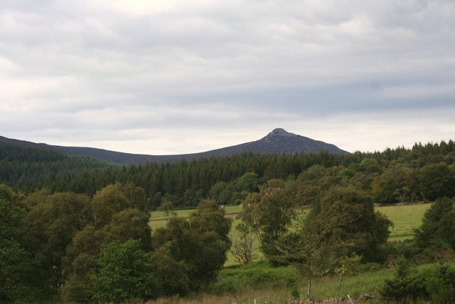
In addition to its natural beauty, Red Moss also holds historical significance. The woodland is believed to have been part of the ancient Caledonian Forest, which covered much of Scotland in prehistoric times. The area has been protected as a Site of Special Scientific Interest (SSSI) since 1983, ensuring its preservation for future generations.
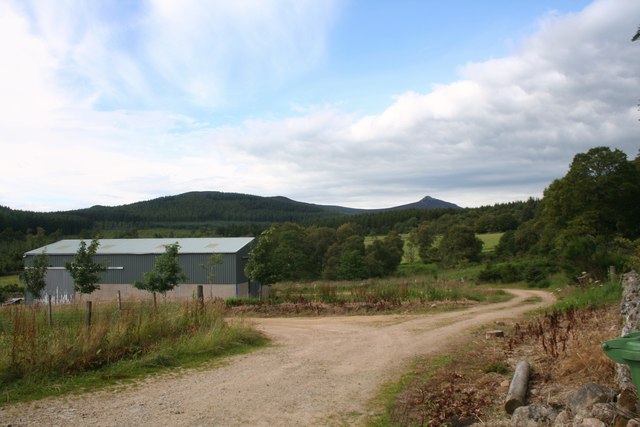
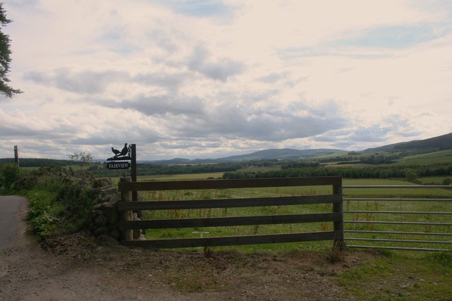
Visitors to Red Moss can enjoy a variety of activities, including walking, birdwatching, and photography. There are several well-maintained trails that wind through the woodland, providing opportunities for peaceful exploration and a chance to immerse oneself in the tranquility of nature.
If you have any feedback on the listing, please let us know in the comments section below.
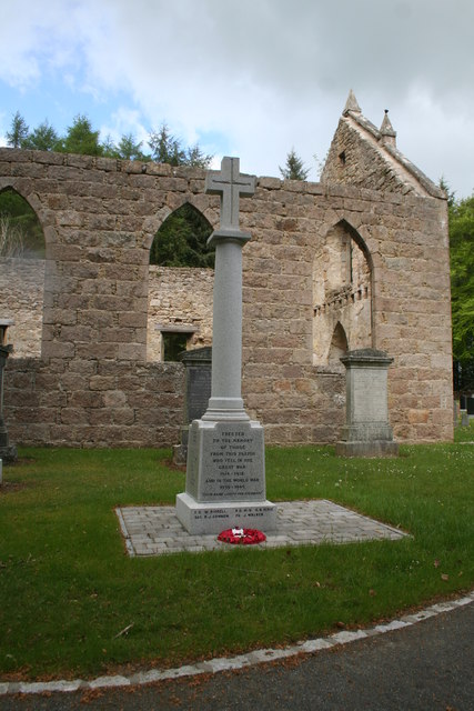
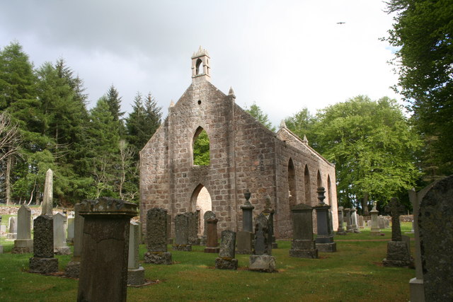
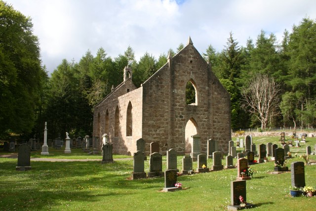
Red Moss Images
Images are sourced within 2km of 57.249947/-2.4888509 or Grid Reference NJ7017. Thanks to Geograph Open Source API. All images are credited.

Red Moss is located at Grid Ref: NJ7017 (Lat: 57.249947, Lng: -2.4888509)
Unitary Authority: Aberdeenshire
Police Authority: North East
What 3 Words
///lobbed.urge.romantics. Near Kemnay, Aberdeenshire
Nearby Locations
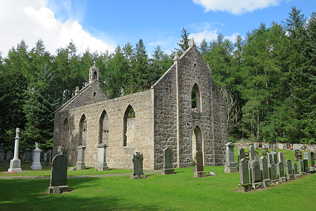
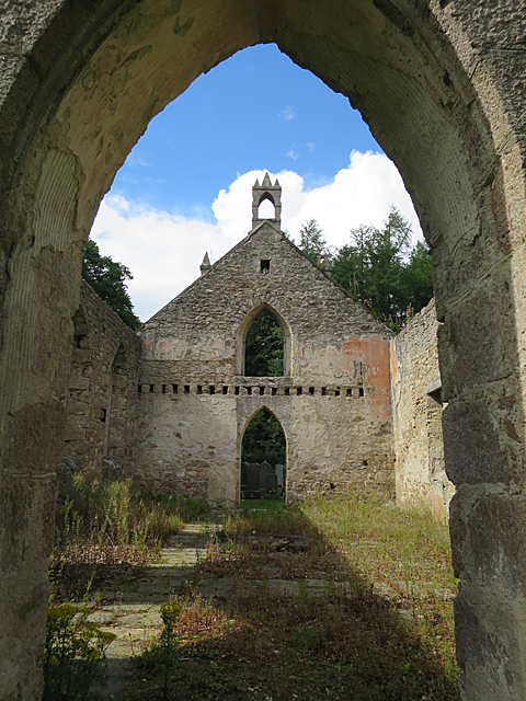
Related Wikis

Blairdaff
Blairdaff is a parish in Garioch, Aberdeenshire, Scotland, next to the villages of Kemnay and Monymusk. Blairdaff had a grocery store, a post office, and...

Bograxie
Bograxie is a farm in Aberdeenshire, Scotland. == References ==

Fetternear Palace
Fetternear Bishop's Palace is an archaeological site of what was one of the palaces (or residences) of the medieval bishops of Aberdeen. It is near Kemnay...

Kemnay Academy
Kemnay Academy is a secondary school in Kemnay, Aberdeenshire, situated on the banks of the River Don. It is one of seventeen secondary schools run by...

House of Monymusk
The House of Monymusk is located on the outskirts of the Scottish village of Monymusk, in the Marr region of Aberdeenshire. The house is located near the...

Kemnay, Aberdeenshire
Kemnay (Gaelic: Camnaidh) is a village 16 miles (26 km) west of Aberdeen in Garioch, Aberdeenshire, Scotland. == History == The village name Kemnay is...

Kemnay railway station
Kemnay railway station was a station on the Alford Valley Railway in Kemnay, Aberdeenshire, which opened in 1858 and closed in 1950. == References... ==
Aquhorthies College
Aquhorthies College or Aquhorthies House, located between Blairdaff and Inverurie in Aberdeenshire, was a Roman Catholic seminary in Scotland from 1799...
Nearby Amenities
Located within 500m of 57.249947,-2.4888509Have you been to Red Moss?
Leave your review of Red Moss below (or comments, questions and feedback).