Grassendale Park

Settlement in Lancashire

England

Grassendale Park

Garston War Memorial and shops The men from 1914-18 would be surprised to see the range of shops trading here.
Garston War Memorial and shops Credit: Chris Morgan

The requested URL returned error: 429 Too Many Requests

If you have any feedback on the listing, please let us know in the comments section below.

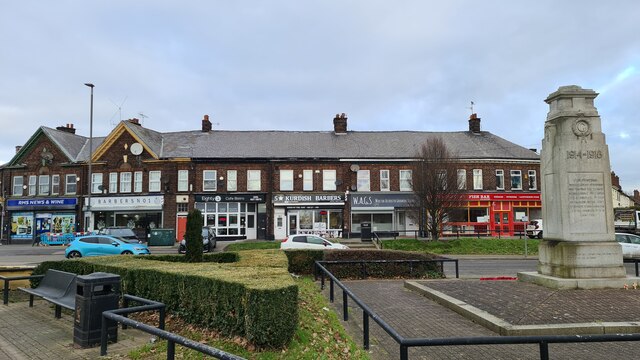
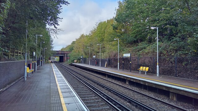
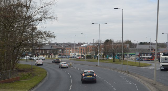
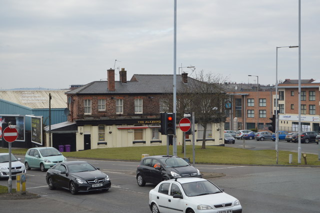
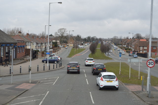
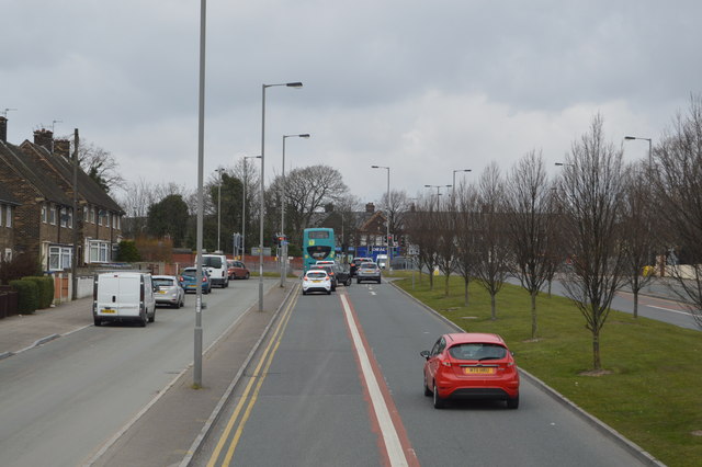
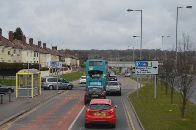
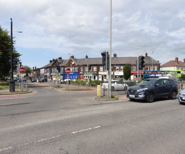
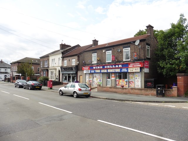
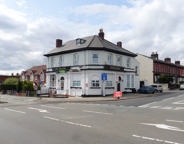
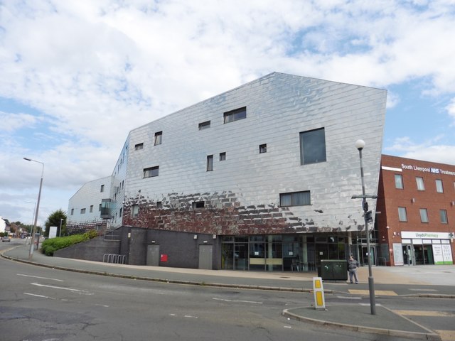
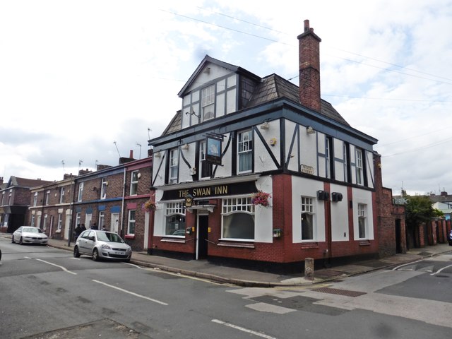
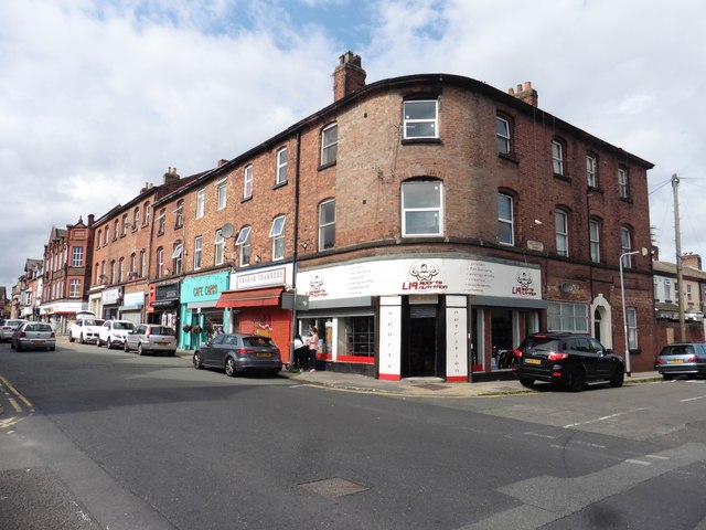
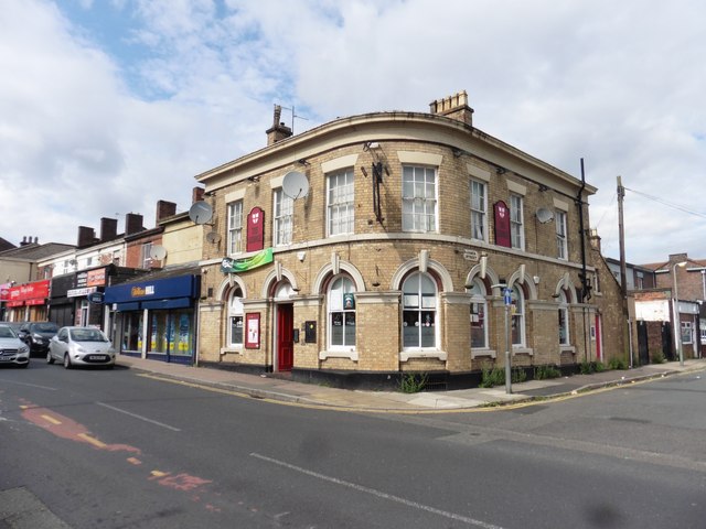
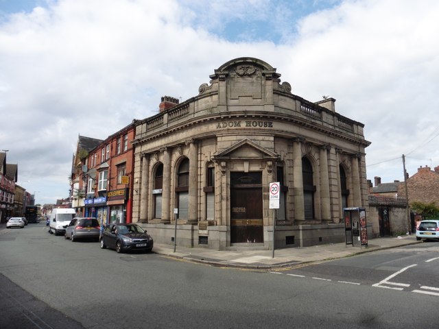
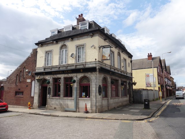
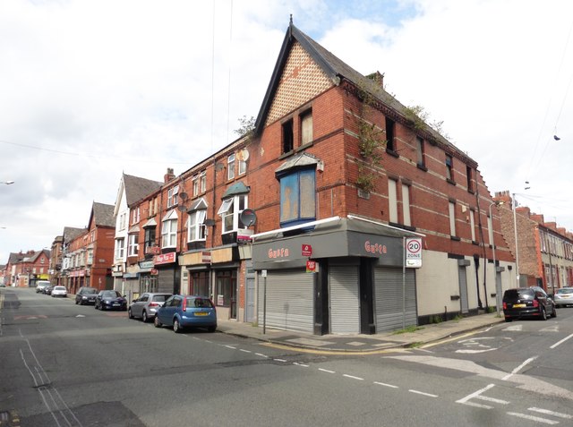
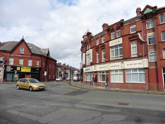
Grassendale Park Images

Images are sourced within 2km of 53.356245/-2.9206789 or Grid Reference SJ3884. Thanks to Geograph Open Source API. All images are credited.

Garston War Memorial and shops The men from 1914-18 would be surprised to see the range of shops trading here.
Garston War Memorial and shops
The men from 1914-18 would be surprised to see the range of shops trading here.
View toward Liverpool Central at Liverpool South Parkway station
A561 The A561 runs 10 miles parallel to the north bank of the river Mersey, largely primary along its whole length. It runs from Liverpool to Garston via Liverpool Airport.
<span class="nowrap"><a title="http://www.sabre-roads.org.uk/wiki/index.php?title=A561" rel="nofollow ugc noopener" href="http://www.sabre-roads.org.uk/wiki/index.php?title=A561">Link</a><img style="margin-left:2px;" alt="External link" title="External link - shift click to open in new window" src="https://s1.geograph.org.uk/img/external.png" width="10" height="10"/></span>
A561
The A561 runs 10 miles parallel to the north bank of the river Mersey, largely primary along its whole length. It runs from Liverpool to Garston via Liverpool Airport. LinkExternal link
The Alexandra
The Alexandra
B5171 The B5171 is a 3 mile long link road in East Liverpool. It runs from Garston to Gateacre.
<span class="nowrap"><a title="http://www.sabre-roads.org.uk/wiki/index.php?title=B5171" rel="nofollow ugc noopener" href="http://www.sabre-roads.org.uk/wiki/index.php?title=B5171">Link</a><img style="margin-left:2px;" alt="External link" title="External link - shift click to open in new window" src="https://s1.geograph.org.uk/img/external.png" width="10" height="10"/></span>
B5171
The B5171 is a 3 mile long link road in East Liverpool. It runs from Garston to Gateacre. LinkExternal link
Busy B5171 The B5171 is a 3 mile long link road in East Liverpool. It runs from Garston to Gateacre.
<span class="nowrap"><a title="http://www.sabre-roads.org.uk/wiki/index.php?title=B5171" rel="nofollow ugc noopener" href="http://www.sabre-roads.org.uk/wiki/index.php?title=B5171">Link</a><img style="margin-left:2px;" alt="External link" title="External link - shift click to open in new window" src="https://s1.geograph.org.uk/img/external.png" width="10" height="10"/></span>
Busy B5171
The B5171 is a 3 mile long link road in East Liverpool. It runs from Garston to Gateacre. LinkExternal link
Intersection on Woolton Road
Shops on Woolton Road
The Palatine, Garston
South Liverpool NHS Treatment Centre
The Swan Inn, Garston
Corner of Wellington Street and St Mary's Road
The George, Garston
The George, Garston
Adom House, Garston Former bank.
Adom House, Garston
Former bank.
Dealers Arms, Garston
Fire damaged building on St Mary's Road
Junction with Seddon Road
Show me another place!

Grassendale Park is located at Grid Ref: SJ3884 (Lat: 53.356245, Lng: -2.9206789)

Unitary Authority: Liverpool

Police Authority: Merseyside

What 3 Words

///liner.debate.class. Near Bromborough, Merseyside

Nearby Locations

Grassendale Park

Related Wikis

Grassendale and Cressington (Liverpool ward)

Grassendale and Cressington ward is an electoral division of Liverpool City Council in the Garston and Halewood Parliamentary constituency, in the Garston...

Cressington railway station

Cressington railway station serves the Grassendale district of Liverpool, England. It is situated on the Southport-Hunts Cross route of the Northern Line...

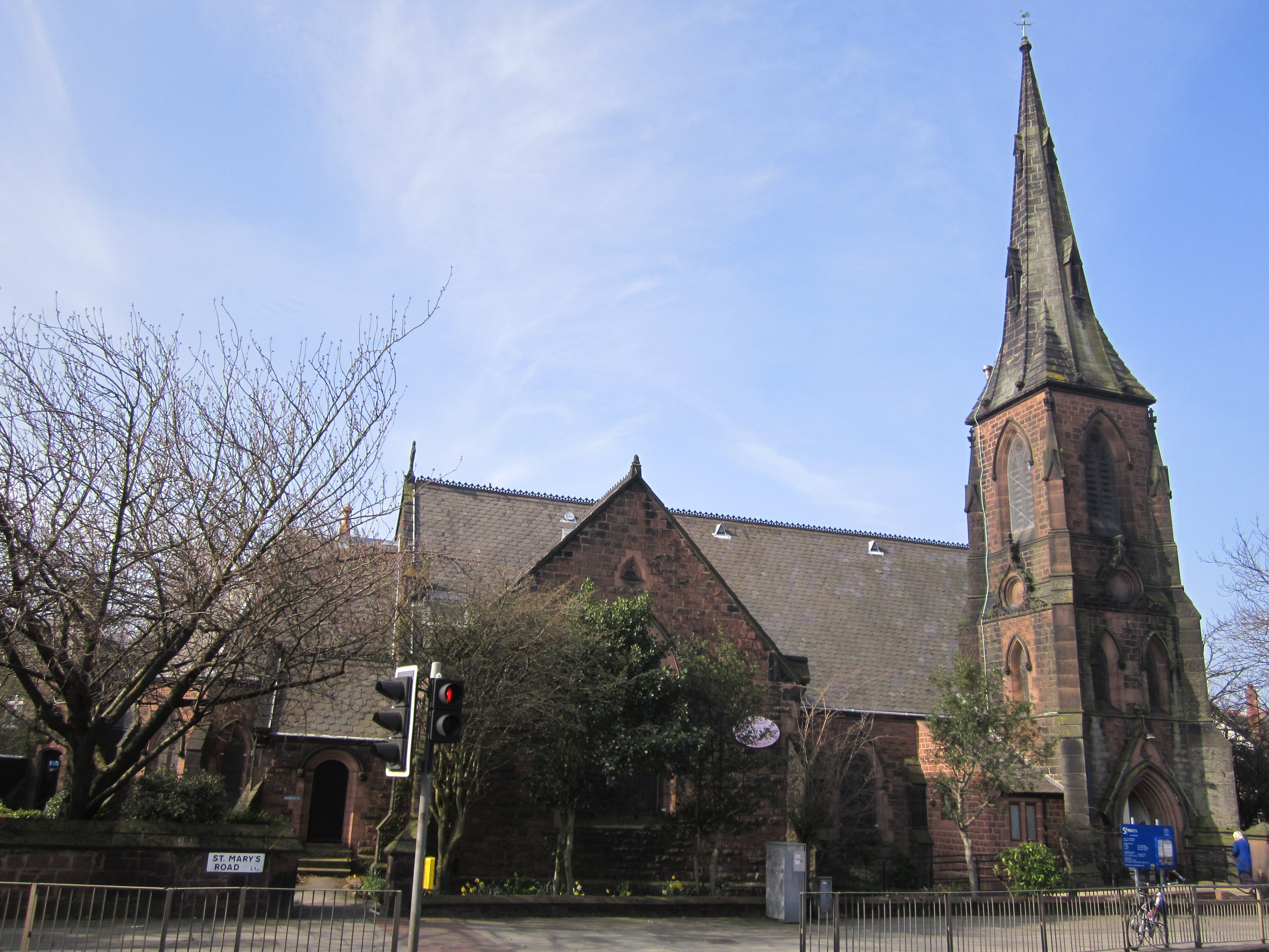
St Mary's Church, Grassendale

St Mary's Church is in St. Mary's Road, Grassendale, a district of Liverpool, Merseyside, England. It is an active Anglican parish church in the deanery...

Aigburth Cricket Ground

Aigburth Cricket Ground in Liverpool, England, is the home of Liverpool Cricket Club. The ground, the fourth that Liverpool have used, was created in 1880...

Nearby Amenities

Located within 500m of 53.356245,-2.9206789
Source: Yahoo
Lat/Long: 53.3573941/-2.9236533
Source: PGS
Lat/Long: 53.357285/-2.9223779
Source: PGS
Lat/Long: 53.3557817/-2.9201438
Source: PGS
Lat/Long: 53.3549424/-2.9188846
Created By: almien_coastlines
Source: PGS
Lat/Long: 53.3540891/-2.9167237
Source: PGS
Lat/Long: 53.3538856/-2.9162125
Post Box
Ref: L19 276
Lat/Long: 53.3569105/-2.9136774
Post Box
Collection Times: Mo-Fr 09:00, Sa 07:00
Ref: L19 955
Royal Cypher: EIIR
Royal Cypher Wikidata: Q33102113
Lat/Long: 53.3604946/-2.9202261
Post Box
Ref: L19 277
Lat/Long: 53.3586297/-2.916931
Seamark Buoy Lateral Colour: green
Seamark Buoy Lateral Shape: conical
Seamark Light Colour: green
Seamark Type: buoy_lateral
Lat/Long: 53.3530064/-2.9232409
Seamark Buoy Lateral Colour: red
Seamark Buoy Lateral Shape: can
Seamark Light Colour: red
Seamark Type: buoy_lateral
Lat/Long: 53.3520879/-2.9183688
Grassendale
Place: suburb
Lat/Long: 53.3582395/-2.9177539
Noexit: yes
Lat/Long: 53.3604215/-2.922461
Generator Method: photovoltaic
Generator Output Electricity: yes
Generator Source: solar
Generator Type: solar_photovoltaic_panel
Location: roof
Power: generator
Source: imagery
Lat/Long: 53.3587318/-2.9173945
Generator Method: photovoltaic
Generator Output Electricity: yes
Generator Source: solar
Generator Type: solar_photovoltaic_panel
Location: roof
Power: generator
Source: imagery
Lat/Long: 53.3586934/-2.9173274
Generator Method: photovoltaic
Generator Output Electricity: yes
Generator Source: solar
Generator Type: solar_photovoltaic_panel
Location: roof
Power: generator
Source: imagery
Lat/Long: 53.3582388/-2.9184245
Generator Method: photovoltaic
Generator Output Electricity: yes
Generator Source: solar
Generator Type: solar_photovoltaic_panel
Location: roof
Power: generator
Source: imagery
Lat/Long: 53.3582676/-2.9200392
Generator Method: photovoltaic
Generator Output Electricity: yes
Generator Source: solar
Generator Type: solar_photovoltaic_panel
Location: roof
Power: generator
Source: imagery
Lat/Long: 53.3581636/-2.9198755
Generator Method: photovoltaic
Generator Output Electricity: yes
Generator Source: solar
Generator Type: solar_photovoltaic_panel
Location: roof
Power: generator
Source: imagery
Lat/Long: 53.358591/-2.9191245
Generator Method: photovoltaic
Generator Output Electricity: yes
Generator Source: solar
Generator Type: solar_photovoltaic_panel
Location: roof
Power: generator
Source: imagery
Lat/Long: 53.358703/-2.919323
Generator Method: photovoltaic
Generator Output Electricity: yes
Generator Source: solar
Generator Type: solar_photovoltaic_panel
Location: roof
Power: generator
Source: imagery
Lat/Long: 53.3574064/-2.921796
Generator Method: photovoltaic
Generator Output Electricity: yes
Generator Source: solar
Generator Type: solar_photovoltaic_panel
Location: roof
Power: generator
Source: imagery
Lat/Long: 53.3570334/-2.9214339
Crossing
Lat/Long: 53.3546947/-2.9180181
Building: bunker
Bunker Type: pillbox
Military: bunker
Lat/Long: 53.3533673/-2.9150102
Abandoned: yes
Access: no
Leisure: slipway
Surface: ground
Lat/Long: 53.3565652/-2.9212902
Outlet: screen
Lat/Long: 53.3534115/-2.915121
The data included in this document is from www.openstreetmap.org. The data is made available under ODbL.

Have you been to Grassendale Park?

Leave your review of Grassendale Park below (or comments, questions and feedback).