Gilston
Settlement in Hertfordshire East Hertfordshire
England
Gilston
Gilston is a small village located in the county of Hertfordshire, England. Situated approximately 5 miles east of the town of Harlow, it forms part of the East Hertfordshire district. The village is surrounded by picturesque countryside, with rolling hills, meadows, and woodland, offering a tranquil and serene setting.
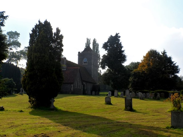
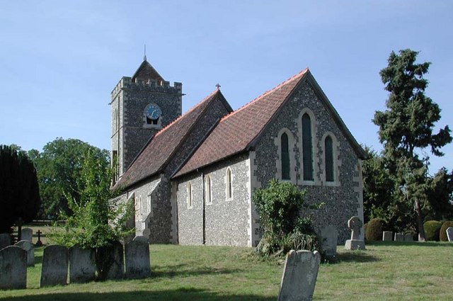
Gilston has a rich history dating back to the medieval period, and evidence of its past can still be seen today in the form of historic buildings and landmarks. St. Mary's Church, a Grade I listed building, is a prominent feature in the village. The church dates back to the 13th century, and its architecture showcases a mix of Norman and Gothic styles.
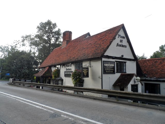
Despite being a small village, Gilston benefits from excellent transport links. The A414 road passes through the village, connecting it to nearby towns and cities such as Harlow and Chelmsford. The village is also conveniently located near the M11 motorway, providing easy access to London and Cambridge.
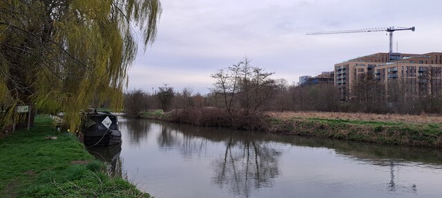
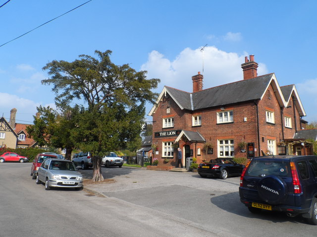
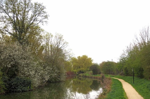
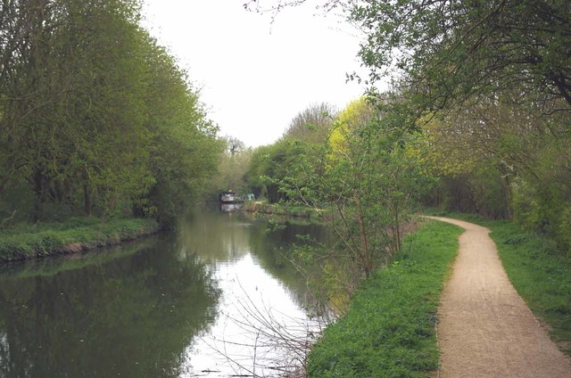
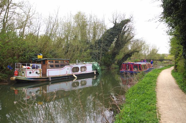
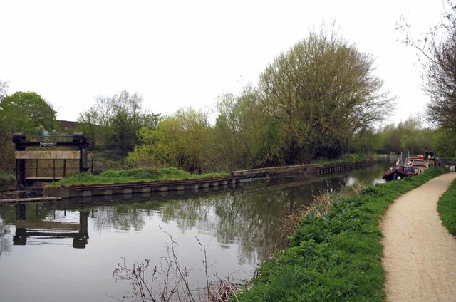
Gilston offers a range of amenities for its residents, including a primary school, a village hall, and a local pub. The village is surrounded by beautiful countryside, making it an ideal location for outdoor activities such as walking, cycling, and horse riding. The nearby River Stort also provides opportunities for boating and fishing.
In recent years, Gilston has seen some development, with plans for new housing and infrastructure projects. This has sparked some debate among locals concerning the preservation of the village's rural charm and character. Nonetheless, Gilston continues to be a desirable place to live for those seeking a peaceful and idyllic village lifestyle.
If you have any feedback on the listing, please let us know in the comments section below.
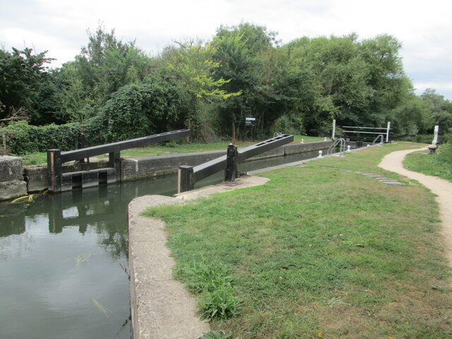
Gilston Images
Images are sourced within 2km of 51.789477/0.098624575 or Grid Reference TL4412. Thanks to Geograph Open Source API. All images are credited.

Gilston is located at Grid Ref: TL4412 (Lat: 51.789477, Lng: 0.098624575)
Administrative County: Hertfordshire
District: East Hertfordshire
Police Authority: Hertfordshire
What 3 Words
///nurses.slip.settle. Near Harlow, Essex
Nearby Locations
Related Wikis

Gilston
Gilston is a village and civil parish in the East Hertfordshire district of Hertfordshire, England. It is located a little over one mile north of the town...

Harlow Marsh
Harlow Marsh is a 13.8 hectare Local Nature Reserve in Harlow in Essex. It is owned and managed by Harlow District Council.The site is in three separate...

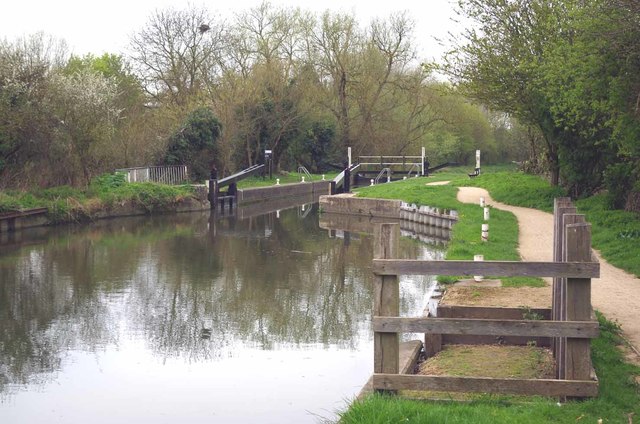
Stort Navigation
The Stort Navigation is the canalised section of the River Stort running 22 kilometres (14 mi) from the town of Bishop's Stortford, Hertfordshire, downstream...
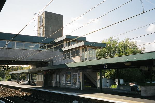
Harlow Town railway station
Harlow Town railway station is on the West Anglia Main Line serving the town of Harlow in Essex, England. It is 22 miles 59 chains (36.6 km) down the line...

Gilston Park
Gilston Park is a Grade II* listed country house in Gilston, Hertfordshire, England. It was designed by Philip Hardwick for John Hodgson around 1852....

Catuvellauni
The Catuvellauni (Common Brittonic: *Catu-wellaunī, "war-chiefs") were a Celtic tribe or state of southeastern Britain before the Roman conquest, attested...
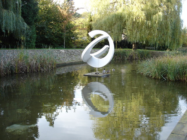
Harlow Town Park
Harlow Town Park is a 164-acre (66 ha) public park in Harlow, Essex, England. The park is one of the largest urban parks in Britain. It includes multiple...
Eastwick, Hertfordshire
Eastwick is a village and civil parish 7 miles (11 km) east of Hertford, in the East Hertfordshire district, in the county of Hertfordshire, England. In...
Nearby Amenities
Located within 500m of 51.789477,0.098624575Have you been to Gilston?
Leave your review of Gilston below (or comments, questions and feedback).