Gilpin Brown

Settlement in Durham

England

Gilpin Brown

National Cycle Route 1 The wooded cutting hides the fact that the cycle path is running through urban Stockton. The former railway ran between Stockton and eastern Billingham, serving the industries on the North bank of the Tees.
National Cycle Route 1 Credit: David Robinson

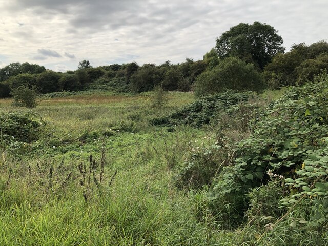
Gilpin Brown is a small village located in the county of Durham, England. Situated in the northeastern part of the country, it falls within the civil parish of Lanchester. The village is surrounded by picturesque countryside, offering residents and visitors a tranquil and scenic environment.

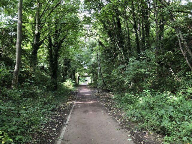
One of the defining features of Gilpin Brown is its close proximity to the River Browney, which flows through the village. This river adds to the natural beauty of the area and provides opportunities for recreational activities such as fishing and walking along its banks.

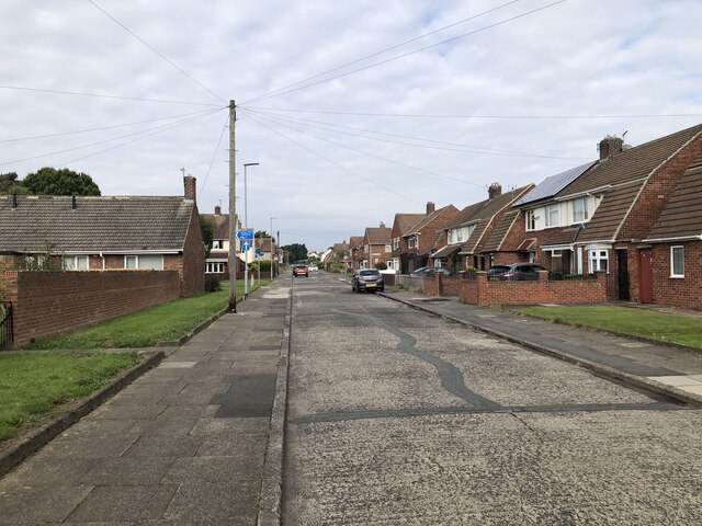
The architecture of Gilpin Brown is predominantly made up of traditional stone-built houses, showcasing the village's historical charm. The community is tight-knit, with a friendly and welcoming atmosphere. The village is primarily residential, with a small number of local businesses serving the needs of the residents.

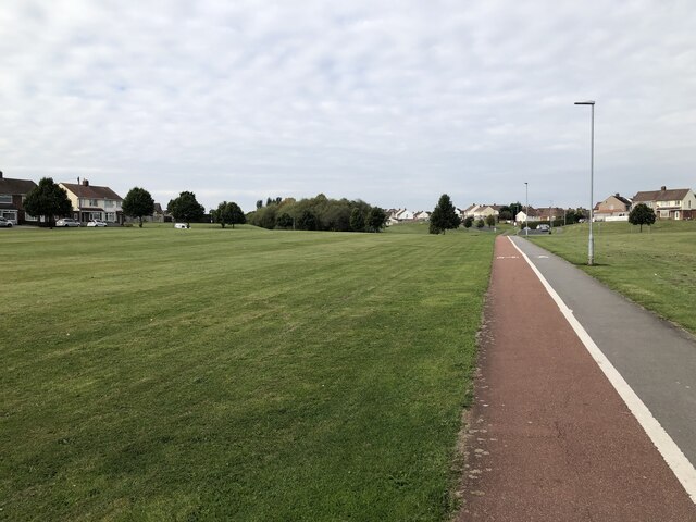
In terms of amenities, Gilpin Brown benefits from being close to the nearby town of Lanchester, where residents can find a wider range of shops, schools, and healthcare facilities. The village is well-connected to other parts of Durham and the wider region via road networks, making it easily accessible for commuters.

For those seeking outdoor activities, the surrounding area offers numerous walking and cycling routes, allowing residents to explore the stunning countryside. Additionally, Gilpin Brown is within easy reach of the famous Durham Dales, where visitors can enjoy breathtaking landscapes, historic landmarks, and outdoor pursuits.

In summary, Gilpin Brown is a charming village in Durham, England, offering a peaceful rural lifestyle with close access to amenities and beautiful countryside.

If you have any feedback on the listing, please let us know in the comments section below.
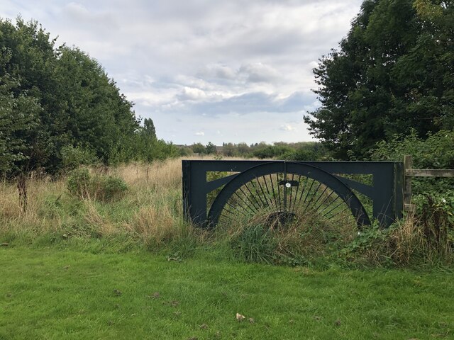
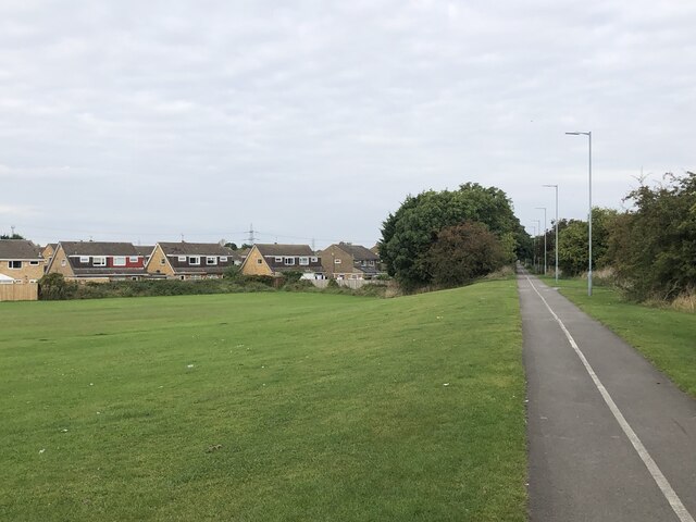
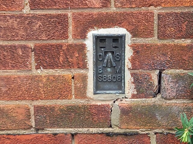
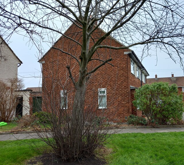
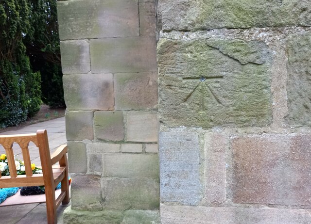
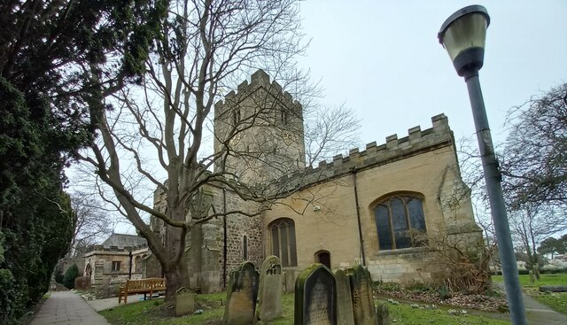
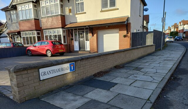
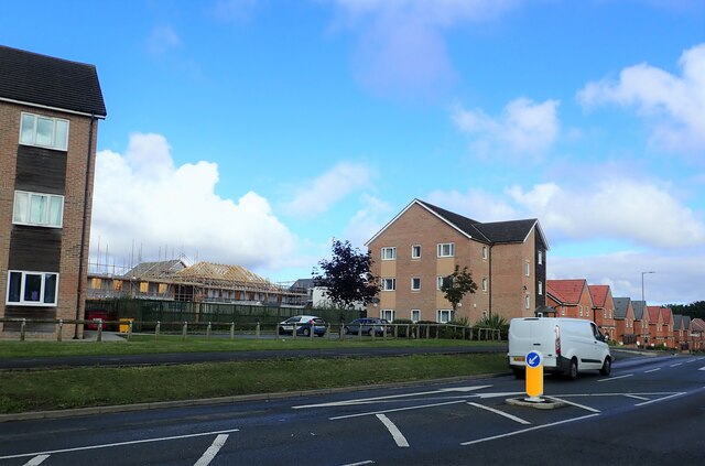
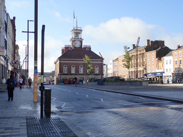
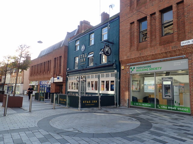
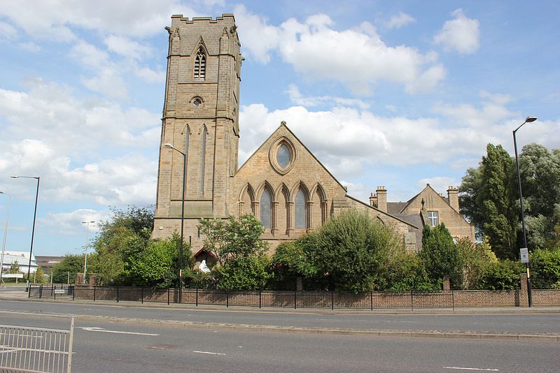
Gilpin Brown Images

Images are sourced within 2km of 54.576431/-1.3295216 or Grid Reference NZ4320. Thanks to Geograph Open Source API. All images are credited.

National Cycle Route 1 The wooded cutting hides the fact that the cycle path is running through urban Stockton. The former railway ran between Stockton and eastern Billingham, serving the industries on the North bank of the Tees.
National Cycle Route 1
The wooded cutting hides the fact that the cycle path is running through urban Stockton. The former railway ran between Stockton and eastern Billingham, serving the industries on the North bank of the Tees.
Wetland Area Small area of wetland in urban Stockton. Residential estates are hidden by the line of shrubs and trees lining the Durham Coast Railway.
Wetland Area
Small area of wetland in urban Stockton. Residential estates are hidden by the line of shrubs and trees lining the Durham Coast Railway.
Pedestrian & Cycle Route, Roseworth
Rothwell Crescent, Roseworth, Stockton
Overgrown Entrance to Nature Reserve Gated entrance that doesn't appear to see a lot of use at the north end of Hardwick Dene & Elm Tree Woods Nature Reserve. The reserve lies within urban Stockton, behind the site of the General Hospital.
Overgrown Entrance to Nature Reserve
Gated entrance that doesn't appear to see a lot of use at the north end of Hardwick Dene & Elm Tree Woods Nature Reserve. The reserve lies within urban Stockton, behind the site of the General Hospital.
Pedestrian & Cycle Route Part of the National Cycle Route 1, this stretch of former railway line was an early example of electrification in Britain. The route was part of the Shildon - Newport (Middlesbrough) line that was electrified by NER in 1915 using 1500 V DC overhead. The electrification was removed in 1935, reduced coal traffic making renewal / upgrade uneconomic.
Pedestrian & Cycle Route
Part of the National Cycle Route 1, this stretch of former railway line was an early example of electrification in Britain. The route was part of the Shildon - Newport (Middlesbrough) line that was electrified by NER in 1915 using 1500 V DC overhead. The electrification was removed in 1935, reduced coal traffic making renewal / upgrade uneconomic.
Norton, 89 Renvyle Avenue The OS Flush Bracket, S8808, is embedded into the south west facing wall of the private house.
Norton, 89 Renvyle Avenue
The OS Flush Bracket, S8808, is embedded into the south west facing wall of the private house.
Norton, 89 Renvyle Avenue The OS Flush Bracket, S8808, is embedded into the south west facing wall of the private house. It can be seen at the bottom right of the gable end.
Norton, 89 Renvyle Avenue
The OS Flush Bracket, S8808, is embedded into the south west facing wall of the private house. It can be seen at the bottom right of the gable end.
Norton, St Mary's church The benchmark is cut into an east facing buttress.
Norton, St Mary's church
The benchmark is cut into an east facing buttress.
Norton, St Mary's church There is a benchmark cut into an east facing buttress, and it is to the right of the wooden bench.
Norton, St Mary's church
There is a benchmark cut into an east facing buttress, and it is to the right of the wooden bench.
Norton, Grantham Road According to the OS benchmark database there was a benchmark cut into a stone wall at this location. The wall has been replaced and the benchmark has been destroyed.
Norton, Grantham Road
According to the OS benchmark database there was a benchmark cut into a stone wall at this location. The wall has been replaced and the benchmark has been destroyed.
New houses being built west of Norton Road
North Shore Academy The North Shore Academy is a secondary school which opened in 2010, and replaced Blakeston School and Norton Comprehensive School.
North Shore Academy
The North Shore Academy is a secondary school which opened in 2010, and replaced Blakeston School and Norton Comprehensive School.
Pavilion in a Recreation Ground Could not find a name for this green area. Lustrum Beck flows around it, but the whole are looks rather uncared for. The pavilion is covered in graffiti and has broken glass and an old shopping trolley.
Pavilion in a Recreation Ground
Could not find a name for this green area. Lustrum Beck flows around it, but the whole are looks rather uncared for. The pavilion is covered in graffiti and has broken glass and an old shopping trolley.
North Shore Academy Sports Field
Footbridge over the A1305 The bridge connects the riverside walk with the shopping centre
Footbridge over the A1305
The bridge connects the riverside walk with the shopping centre
The Old Town Hall, Stockton-on-Tees The building in the High Street, which is the meeting place of Stockton-on-Tees Borough Council, is a Grade II* listed building.
The Old Town Hall, Stockton-on-Tees
The building in the High Street, which is the meeting place of Stockton-on-Tees Borough Council, is a Grade II* listed building.
Stag Inn, Silver Street
Show me another place!

Gilpin Brown is located at Grid Ref: NZ4320 (Lat: 54.576431, Lng: -1.3295216)

Unitary Authority: Stockton-on-Tees

Police Authority: Cleveland

What 3 Words

///select.hedgehog.loft. Near Stockton-on-Tees, Co. Durham

Nearby Locations

Ragworth Gilpin Brown

Related Wikis

Newtown, Stockton-on-Tees

Newtown is an area of Stockton-on-Tees within the borough of Stockton-on-Tees, County Durham, England. It is next to the Stockton town centre's north-west...

Stockton Town F.C.

Stockton Town Football Club is an English football club based in Stockton-on-Tees, England. They are currently members of the Northern Premier League Division...

Stockton-on-Tees

Stockton-on-Tees is a market town in County Durham, England, with a population of 84,815 at the 2021 UK census. It is part of Teesside and the Tees Valley...

Stockton railway station (County Durham)

Stockton is a railway station on the Durham Coast Line, which runs between Newcastle and Middlesbrough via Hartlepool. The station, situated 5 miles 45...

Our Lady and St Bede Catholic Academy

Our Lady and St Bede Catholic Academy (formerly Our Lady and St Bede RC School) is a coeducational secondary school located in Stockton-on-Tees, County...

The Grangefield Ground

The Grangefield Ground is a multi-purpose sport grounds located in Grangefield, Stockton-on-Tees, England. It focuses on cricket and rugby union. It is...

St Mary's Church, Stockton-on-Tees

St Mary's Church is a Roman Catholic parish church in Stockton-on-Tees, County Durham, England. It was built in 1842 and designed by Augustus Pugin in...

The Grangefield Academy

The Grangefield Academy is a secondary school with academy status in the borough of Stockton on Tees, on Oxbridge Avenue, Grangefield, Stockton-on-Tees...

Nearby Amenities

Located within 500m of 54.576431,-1.3295216
Crossing
Crossing: uncontrolled
Lat/Long: 54.5798371/-1.3282686
Traffic Calming: hump
Lat/Long: 54.5735553/-1.3354291
Public Transport: stop_position
Lat/Long: 54.5770596/-1.3325762
Post Box
Lat/Long: 54.5771582/-1.3324859
Turning Circle
Lat/Long: 54.5791437/-1.3352325
Turning Circle
Lat/Long: 54.5775827/-1.334508
Traffic Calming: table
Lat/Long: 54.5748029/-1.3362157
Bus: yes
Public Transport: stop_position
Lat/Long: 54.5793549/-1.3251267
Turning Circle
Lat/Long: 54.5765396/-1.3241813
Crossing
Crossing: uncontrolled
Source: survey
Lat/Long: 54.577933/-1.3307766
Crossing
Crossing: uncontrolled
Source: survey
Lat/Long: 54.577705/-1.3305665
Entrance: yes
Lat/Long: 54.5746178/-1.3365495
Bus Stop
Appleton Road
Bench: no
Bus: yes
Kerb: raised
Local Ref: 1
Public Transport: platform
Shelter: yes
Source: survey
Tactile Paving: yes
Lat/Long: 54.5736706/-1.3251466
Shop: convenience
Lat/Long: 54.5736998/-1.3250735
Source: survey
Traffic Calming: table
Lat/Long: 54.5739609/-1.3257444
Public Transport: stop_position
Lat/Long: 54.5740159/-1.325186
Source: survey
Traffic Calming: hump
Lat/Long: 54.5742489/-1.323274
Source: survey
Traffic Calming: choker
Lat/Long: 54.5746623/-1.324053
Source: survey
Traffic Calming: hump
Lat/Long: 54.5747333/-1.3231553
Source: survey
Traffic Calming: hump
Lat/Long: 54.5752316/-1.3240692
Source: survey
Traffic Calming: hump
Lat/Long: 54.5759501/-1.3225765
Source: survey
Traffic Calming: table
Lat/Long: 54.5730378/-1.3246113
Traffic Calming: hump
Lat/Long: 54.5770546/-1.3223646
Bus: yes
Public Transport: stop_position
Lat/Long: 54.579967/-1.3247729
Bus: yes
Public Transport: stop_position
Lat/Long: 54.5783346/-1.3324345
Bus: yes
Public Transport: stop_position
Lat/Long: 54.5736257/-1.3252303
Bus: yes
Public Transport: stop_position
Lat/Long: 54.5742425/-1.3261752
Bus Stop
Bus: yes
Kerb: raised
Public Transport: platform
Shelter: no
Source: survey
Tactile Paving: yes
Lat/Long: 54.5793593/-1.3250483
Bus Stop
Bus: yes
Kerb: raised
Public Transport: platform
Shelter: no
Source: survey
Tactile Paving: yes
Lat/Long: 54.5799997/-1.3248139
Bus Stop
Appleton Road
Bench: no
Bus: yes
Kerb: raised
Local Ref: 3
Naptan AtcoCode: 077072386C
Naptan NaptanCode: sktawdg
Public Transport: platform
Shelter: no
Source: survey
Tactile Paving: yes
Lat/Long: 54.5740424/-1.325255
Bus Stop
Appleton Road
Bus: yes
Local Ref: 2
Public Transport: platform
Lat/Long: 54.5742132/-1.3262274
Traffic Calming: cushion
Lat/Long: 54.5741237/-1.3250155
Bus Stop
Bench: yes
Bus: yes
Naptan AtcoCode: 077072383A
Naptan NaptanCode: sktawad
Public Transport: platform
Source: Bing
Tactile Paving: yes
Lat/Long: 54.5746332/-1.336086
Bus Stop
Naptan AtcoCode: 077072617A
Naptan NaptanCode: sktgjwt
Public Transport: platform
Source: Bing
Lat/Long: 54.577101/-1.3326459
Crossing
Crossing: uncontrolled
Source: survey
Lat/Long: 54.5774366/-1.3317232
Crossing
Crossing: uncontrolled
Source: survey
Lat/Long: 54.5775456/-1.3317764
Crossing
Crossing: uncontrolled
Source: survey
Lat/Long: 54.5775914/-1.3306386
Crossing
Crossing: uncontrolled
Lat/Long: 54.577854/-1.3317478
Crossing
Crossing: uncontrolled
Source: survey
Lat/Long: 54.57801/-1.3309372
Bus Stop
Public Transport: platform
Source: Bing
Lat/Long: 54.5783759/-1.332353
Traffic Calming: cushion
Lat/Long: 54.5788036/-1.3249386
Bus Stop
Bus: yes
Naptan AtcoCode: 077072485A
Naptan NaptanCode: sktdpag
Public Transport: platform
Lat/Long: 54.5788062/-1.3333027
Generator Method: photovoltaic
Generator Output Electricity: yes
Generator Source: solar
Generator Type: solar_photovoltaic_panel
Location: roof
Power: generator
Lat/Long: 54.5736631/-1.335429
Crossing
Crossing: traffic_signals
Lat/Long: 54.574803/-1.335714
Bicycle Parking
Access: private
Bicycle Parking: shed
Lat/Long: 54.5731498/-1.3304514
Entrance: main
Lat/Long: 54.5729409/-1.3296929
Traffic Calming: island
Lat/Long: 54.5774874/-1.3317446
Traffic Calming: hump
Lat/Long: 54.5737751/-1.3340731
Traffic Signals
Crossing: no
Traffic Signals Direction: forward
Lat/Long: 54.574831/-1.3356825
Traffic Signals
Crossing: no
Traffic Signals Direction: backward
Lat/Long: 54.5747881/-1.3357304
The data included in this document is from www.openstreetmap.org. The data is made available under ODbL.

Have you been to Gilpin Brown?

Leave your review of Gilpin Brown below (or comments, questions and feedback).