Pye Corner
Settlement in Hertfordshire East Hertfordshire
England
Pye Corner
Pye Corner is a small village located in Hertfordshire, England. Situated approximately 30 miles north of London, it falls within the district of East Hertfordshire. The village is nestled amidst picturesque countryside, with rolling hills and scenic landscapes.
Pye Corner is known for its charming and peaceful atmosphere, offering residents and visitors a tranquil escape from the bustling city life. The village is characterized by its traditional architecture, with many historic buildings and cottages dating back several centuries.
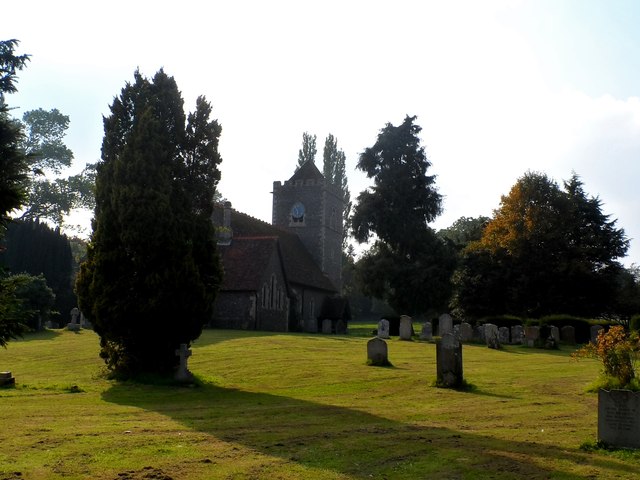
One of the notable landmarks in Pye Corner is the St. Mary's Church, a beautiful medieval church that stands as a testament to the village's rich history. The church features stunning stained glass windows and intricate stone carvings, attracting both architecture enthusiasts and those seeking a place for quiet reflection.
The village also benefits from its proximity to various amenities and services. Nearby towns such as Hertford and Ware offer a range of shops, restaurants, and leisure facilities, ensuring that residents have access to all necessary conveniences.
Pye Corner is well-connected to surrounding areas via road and rail networks. The A10 road runs nearby, providing easy access to London and other major cities. Additionally, the village has its own railway station, offering regular train services to London and Cambridge.
Overall, Pye Corner is a charming and idyllic village, offering a serene lifestyle amidst beautiful surroundings. Its historical charm, convenient location, and peaceful atmosphere make it an attractive place to live or visit.
If you have any feedback on the listing, please let us know in the comments section below.
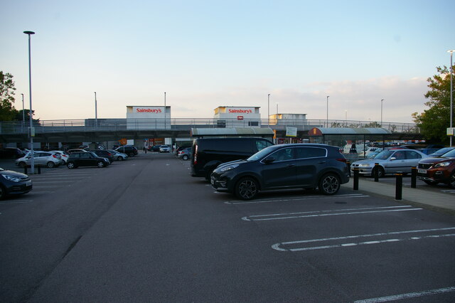
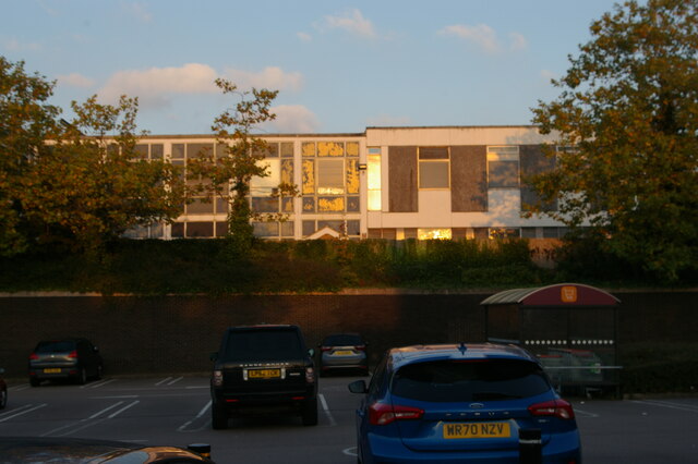
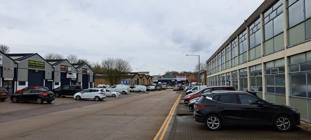
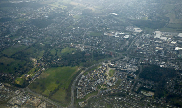
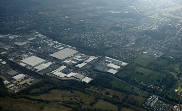
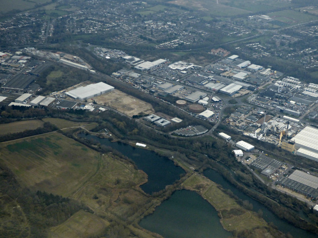
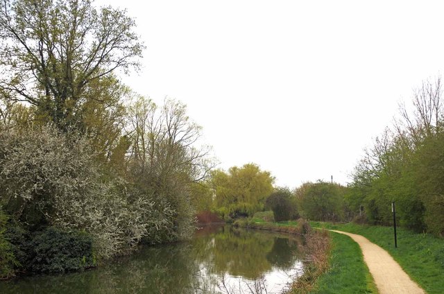
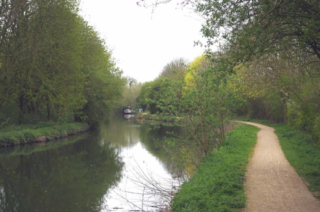
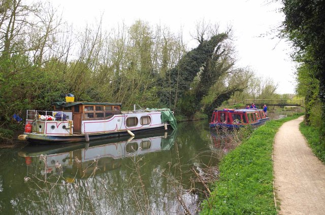
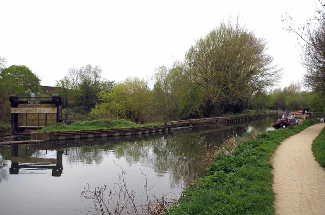
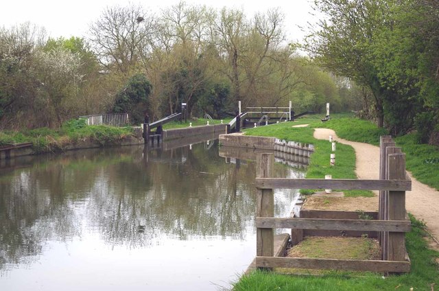
Pye Corner Images
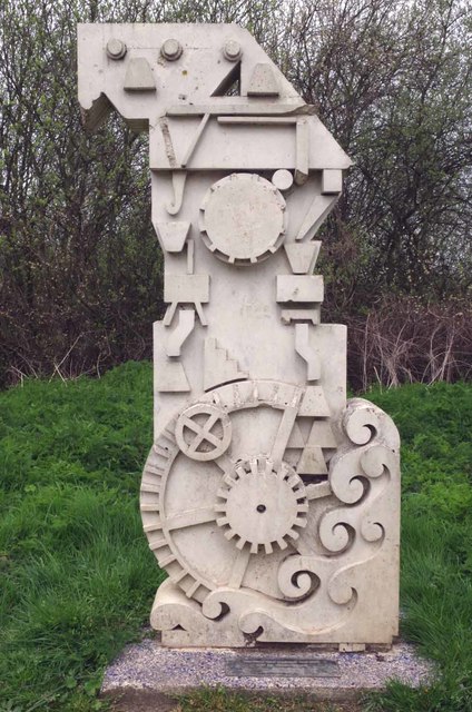
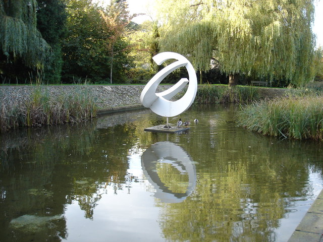
Images are sourced within 2km of 51.790004/0.099692 or Grid Reference TL4412. Thanks to Geograph Open Source API. All images are credited.

Pye Corner is located at Grid Ref: TL4412 (Lat: 51.790004, Lng: 0.099692)
Administrative County: Hertfordshire
District: East Hertfordshire
Police Authority: Hertfordshire
What 3 Words
///melt.search.along. Near Harlow, Essex
Nearby Locations
Related Wikis

Gilston
Gilston is a village and civil parish in the East Hertfordshire district of Hertfordshire, England. It is located a little over one mile north of the town...

Harlow Marsh
Harlow Marsh is a 13.8 hectare Local Nature Reserve in Harlow in Essex. It is owned and managed by Harlow District Council.The site is in three separate...

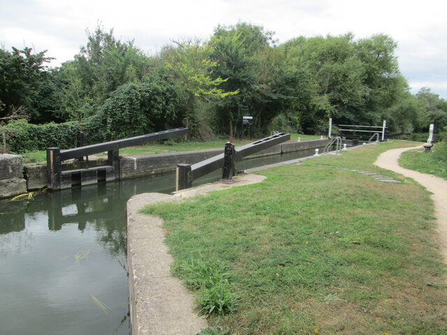
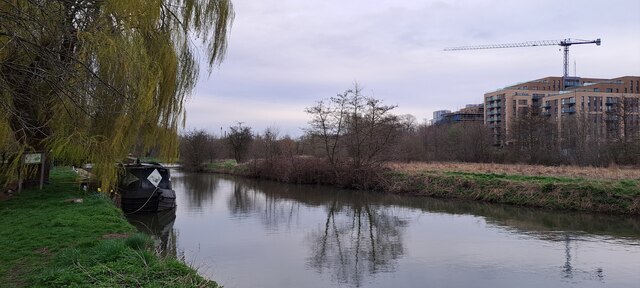
Stort Navigation
The Stort Navigation is the canalised section of the River Stort running 22 kilometres (14 mi) from the town of Bishop's Stortford, Hertfordshire, downstream...

Gilston Park
Gilston Park is a Grade II* listed country house in Gilston, Hertfordshire, England. It was designed by Philip Hardwick for John Hodgson around 1852....
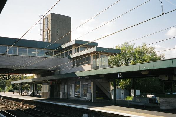
Harlow Town railway station
Harlow Town railway station is on the West Anglia Main Line serving the town of Harlow in Essex, England. It is 22 miles 59 chains (36.6 km) down the line...

Catuvellauni
The Catuvellauni (Common Brittonic: *Catu-wellaunī, "war-chiefs") were a Celtic tribe or state of southeastern Britain before the Roman conquest, attested...
Harlow Town Park
Harlow Town Park is a 164-acre (66 ha) public park in Harlow, Essex, England. The park is one of the largest urban parks in Britain. It includes multiple...

Contrapuntal Forms (Hepworth)
Contrapuntal Forms (BH 165) is a stone sculpture by Barbara Hepworth, one of her first public commissions, made in 1950–51 for the Festival of Britain...
Nearby Amenities
Located within 500m of 51.790004,0.099692Have you been to Pye Corner?
Leave your review of Pye Corner below (or comments, questions and feedback).