Pye Corner

Settlement in Devon East Devon

England

Pye Corner

Inscribed stone at Jackmoor Cross The stone at the foot of the signpost is identified as a Boundary Stone on the OS map.  On the face that is visible, the name Pynes can be read.  The OS marks a district boundary here which follows the road south and field boundaries to the west and north.
Inscribed stone at Jackmoor Cross Credit: David Smith

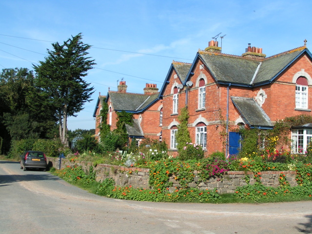
Pye Corner is a small village located in the county of Devon, England. Situated in the northern part of the county, Pye Corner is nestled amidst picturesque countryside and offers a tranquil setting for its residents and visitors alike. The village is characterized by its charming thatched cottages, traditional stone houses, and well-maintained gardens, which add to its scenic beauty.

With a population of around 500 people, Pye Corner retains a close-knit community feel. The village is served by a local primary school, a parish church, and a village hall that hosts various community activities and events throughout the year. There is also a small convenience store and a post office, providing essential amenities for the residents.

Pye Corner is surrounded by rolling hills and farmland, making it an ideal location for outdoor enthusiasts. The village offers numerous walking trails and cycling routes, allowing visitors to explore the stunning countryside and take in the fresh air. Additionally, the nearby River Dart provides opportunities for fishing and boating, further enhancing the village's appeal to nature lovers.

Despite its rural setting, Pye Corner is conveniently located within easy reach of the nearby town of Newton Abbot, where residents can find a wider range of amenities, including supermarkets, shops, and leisure facilities. The village also benefits from good transport links, with regular bus services connecting it to other towns and villages in the region.

Overall, Pye Corner in Devon offers a picturesque and peaceful retreat for those seeking a quintessential English village experience.

If you have any feedback on the listing, please let us know in the comments section below.
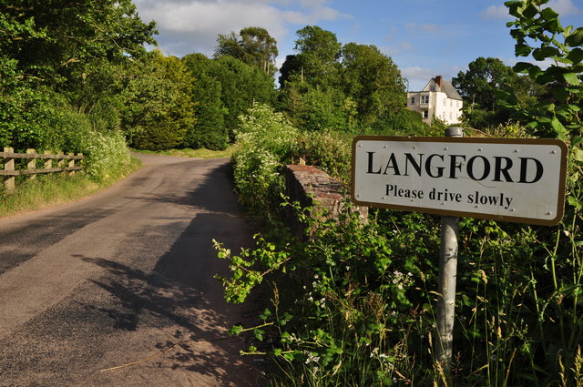
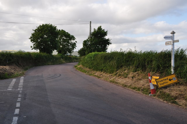
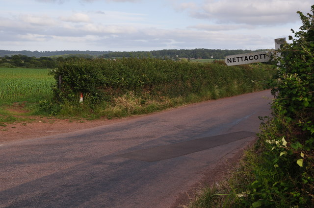
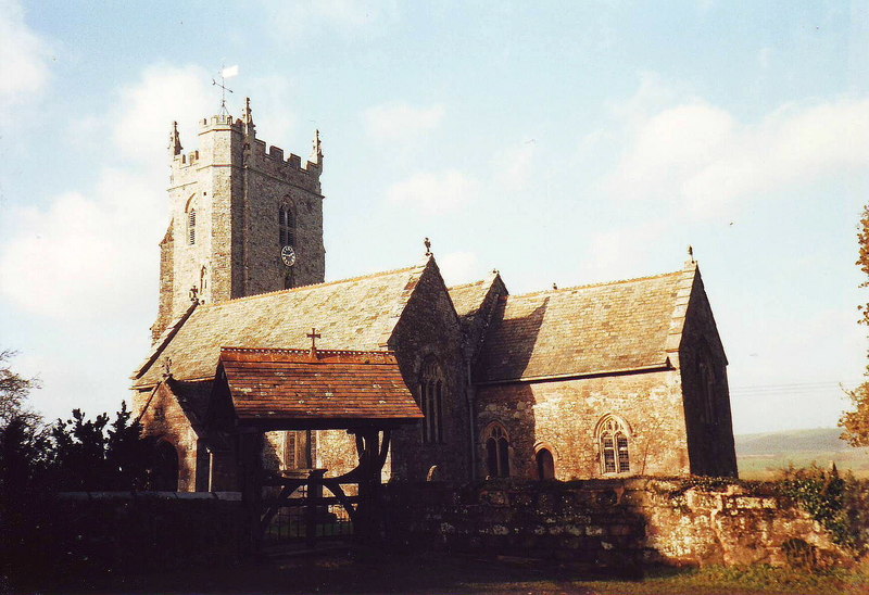
Pye Corner Images

Images are sourced within 2km of 50.773822/-3.543032 or Grid Reference SX9198. Thanks to Geograph Open Source API. All images are credited.

Inscribed stone at Jackmoor Cross The stone at the foot of the signpost is identified as a Boundary Stone on the OS map.  On the face that is visible, the name Pynes can be read.  The OS marks a district boundary here which follows the road south and field boundaries to the west and north.
Inscribed stone at Jackmoor Cross
The stone at the foot of the signpost is identified as a Boundary Stone on the OS map. On the face that is visible, the name Pynes can be read. The OS marks a district boundary here which follows the road south and field boundaries to the west and north.
River Creedy Looking upstream, from a footbridge that carries Newton St Cyres Footpath 12, following Marsh Barton Lane, across the river. Another footpath, used by the Devonshire Heartland Way, runs along the left bank upstream here.
River Creedy
Looking upstream, from a footbridge that carries Newton St Cyres Footpath 12, following Marsh Barton Lane, across the river. Another footpath, used by the Devonshire Heartland Way, runs along the left bank upstream here.
River Creedy See <a href="https://www.geograph.org.uk/photo/3355649">SX8997 : River Creedy</a>; this looks downstream from the same footbridge. It seems to be pouring with rain - I do have a recollection of that, and it accounts for the gloomy-looking nature of the photos; it was also well after 6 pm.
River Creedy
See SX8997 : River Creedy; this looks downstream from the same footbridge. It seems to be pouring with rain - I do have a recollection of that, and it accounts for the gloomy-looking nature of the photos; it was also well after 6 pm.
Langford : Jackmoor Brook Jackmoor Brook heads through the countryside of Mid Devon.
Langford : Jackmoor Brook
Jackmoor Brook heads through the countryside of Mid Devon.
Langford : Langford Road A road and sign welcoming people to the hamlet.
Langford : Langford Road
A road and sign welcoming people to the hamlet.
Mid Devon : Langford Road A road heading through the Mid Devon countryside.
Mid Devon : Langford Road
A road heading through the Mid Devon countryside.
Mid Devon : Langford Road A road heading through the Mid Devon countryside.
Mid Devon : Langford Road
A road heading through the Mid Devon countryside.
Mid Devon : Winscott Cross Winscott Cross in the Mid Devon countryside.
Mid Devon : Winscott Cross
Winscott Cross in the Mid Devon countryside.
Mid Devon : Countryside Scenery Looking out across the countryside of Mid Devon.
Mid Devon : Countryside Scenery
Looking out across the countryside of Mid Devon.
Mid Devon : Country Road A road heading through the Mid Devon countryside.
Mid Devon : Country Road
A road heading through the Mid Devon countryside.
East Devon : :Little Nettacott A house with a driveway on the left.
East Devon : :Little Nettacott
A house with a driveway on the left.
East Devon : Countryside Scenery Looking out across the East Devon countryside.
East Devon : Countryside Scenery
Looking out across the East Devon countryside.
East Devon : Countryside Scenery Looking across the grassy fields towards an area near Half Moon Village.
East Devon : Countryside Scenery
Looking across the grassy fields towards an area near Half Moon Village.
East Devon : Country Road A road heading through the East Devon countryside.
East Devon : Country Road
A road heading through the East Devon countryside.
East Devon : Country Road A road heading through the East Devon countryside.
East Devon : Country Road
A road heading through the East Devon countryside.
Weir on Creedy at Half Moon Village During an evening downpour, this weir is seen from the north.
Weir on Creedy at Half Moon Village
During an evening downpour, this weir is seen from the north.
Winscott Barton Looking along the lane from Winscott Cross to the farmhouse, with a small orchard on the left.
Winscott Barton
Looking along the lane from Winscott Cross to the farmhouse, with a small orchard on the left.
Farm buildings at Winscott Barton From the lane between Winscott Cross and Nortons Cross.
Farm buildings at Winscott Barton
From the lane between Winscott Cross and Nortons Cross.
Show me another place!

Pye Corner is located at Grid Ref: SX9198 (Lat: 50.773822, Lng: -3.543032)

Administrative County: Devon

District: East Devon

Police Authority: Devon and Cornwall

What 3 Words

///fraction.intrigues.megawatt. Near Exeter, Devon

Nearby Locations

Pye Corner

Related Wikis

Upton Pyne

Upton Pyne is a parish and village in Devon, England. The parish lies just north west of Exeter, mainly between the River Exe and River Creedy. The village...

Brampford Speke

Brampford Speke ( BRAM-fərdz-beek) is a small village in Devon, 4 miles (6 km) to the north of Exeter. The population is 419. It is located on red sandstone...
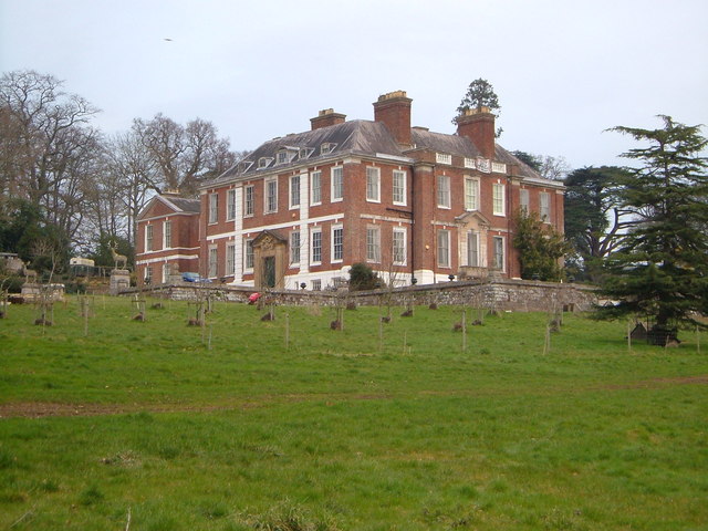
Pynes House

Pynes House is a Grade II* listed Queen Anne style country house built by Hugh Stafford between around 1700 and 1725, situated in the parish of Upton Pyne...

Berrysbridge

Berrysbridge is a village in Devon, England. == External links == Media related to Berrysbridge at Wikimedia Commons

River Culm

The River Culm flows through the Devon Redlands in Devon, England and is the longest tributary of the River Exe. It rises in the Blackdown Hills at a spring...

Cowley, Devon

Cowley is a hamlet in the parish of Upton Pyne in Devon, England. Cowley church was built as a chapel of ease to Brampford Speke by Rohde Hawkins in 1867...

Nether Exe

Nether Exe or Netherexe is a very small village and civil parish in Devon, England. It lies near the River Exe, as its name suggests, about 5 miles (8...

Thorverton

Thorverton is a civil parish and village in Devon, England, about a mile west of the River Exe and 8 miles (13 km) north of Exeter. It is almost centrally...

Nearby Amenities

Located within 500m of 50.773822,-3.543032
Barrier: kissing_gate
Lat/Long: 50.7712097/-3.5473192
Barrier: kissing_gate
Lat/Long: 50.7717266/-3.5442258
Fire Hydrant
Emergency: fire_hydrant
Fire Hydrant Type: underground
Lat/Long: 50.7697012/-3.5439693
Fire Hydrant
Emergency: fire_hydrant
Fire Hydrant Type: underground
Lat/Long: 50.7720154/-3.5441655
Material: wood
Power: pole
Lat/Long: 50.7711688/-3.5442898
Power: pole
Lat/Long: 50.771525/-3.5371739
Power: pole
Lat/Long: 50.7714368/-3.5390568
Material: wood
Power: pole
Lat/Long: 50.7726615/-3.5446224
Power: pole
Lat/Long: 50.7713401/-3.5410067
Power: pole
Lat/Long: 50.7712723/-3.5429835
Power: pole
Lat/Long: 50.7713588/-3.5457623
Power: pole
Lat/Long: 50.772022/-3.5451669
Power: pole
Lat/Long: 50.7715505/-3.5475701
Power: pole
Lat/Long: 50.7717591/-3.549158
Generator Method: photovoltaic
Generator Output Electricity: yes
Generator Source: solar
Generator Type: solar_photovoltaic_panel
Location: roof
Power: generator
Lat/Long: 50.7704286/-3.5420803
Generator Method: photovoltaic
Generator Output Electricity: yes
Generator Source: solar
Generator Type: solar_photovoltaic_panel
Location: roof
Power: generator
Lat/Long: 50.7699034/-3.5420756
Generator Method: photovoltaic
Generator Output Electricity: yes
Generator Source: solar
Generator Type: solar_photovoltaic_panel
Location: roof
Power: generator
Lat/Long: 50.7699017/-3.5420246
Generator Method: photovoltaic
Generator Output Electricity: yes
Generator Source: solar
Generator Type: solar_photovoltaic_panel
Location: roof
Power: generator
Lat/Long: 50.770275/-3.5419224
Generator Method: photovoltaic
Generator Output Electricity: yes
Generator Source: solar
Generator Type: solar_photovoltaic_panel
Power: generator
Lat/Long: 50.7736602/-3.5455363
Generator Method: photovoltaic
Generator Output Electricity: yes
Generator Source: solar
Generator Type: solar_photovoltaic_panel
Power: generator
Lat/Long: 50.7730916/-3.5449055
Generator Method: photovoltaic
Generator Output Electricity: yes
Generator Source: solar
Generator Type: solar_photovoltaic_panel
Power: generator
Lat/Long: 50.7730842/-3.5449687
The data included in this document is from www.openstreetmap.org. The data is made available under ODbL.

Have you been to Pye Corner?

Leave your review of Pye Corner below (or comments, questions and feedback).