Garden Village

Settlement in Shropshire

England

Garden Village

Barn at Lower House Farm
Barn at Lower House Farm Credit: John H Darch

Garden Village is a small village located in the county of Shropshire, England. Situated in the West Midlands region, it is nestled in the picturesque countryside, offering residents a peaceful and idyllic setting. The village is located approximately 6 miles northeast of the county town of Shrewsbury.

Garden Village is known for its charming and tight-knit community, where residents enjoy a friendly and welcoming atmosphere. The village is home to a population of around 1,000 people, creating a close community spirit. The village has a mix of residential properties, ranging from traditional houses to more modern developments.

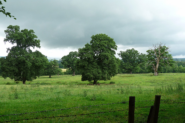
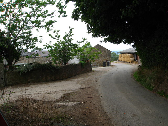
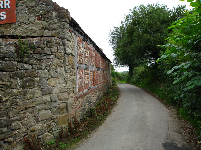
One of the standout features of Garden Village is its beautiful green spaces and well-maintained gardens. The village is known for its scenic landscapes and floral displays, which have earned it the nickname "Garden Village." This love for nature is evident in the numerous parks and open spaces within the village, providing residents with ample opportunities for outdoor activities and relaxation.

While Garden Village is primarily a residential area, it also boasts some amenities to cater to the needs of its residents. These include a village hall, a local pub, and a primary school. For more extensive amenities and services, the nearby town of Shrewsbury provides a wider range of shops, restaurants, and leisure facilities.

Overall, Garden Village is a charming and tranquil village that offers a peaceful lifestyle surrounded by beautiful scenery. Its strong sense of community and abundance of green spaces make it an attractive place to live for those seeking a quieter pace of life.

If you have any feedback on the listing, please let us know in the comments section below.

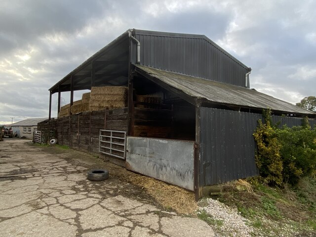
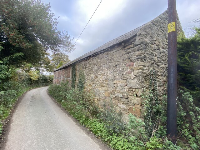
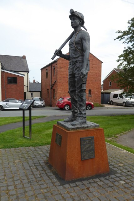
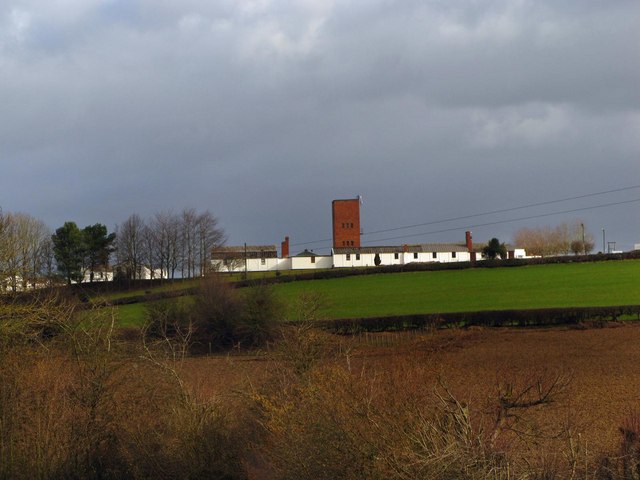
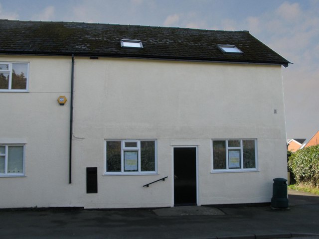
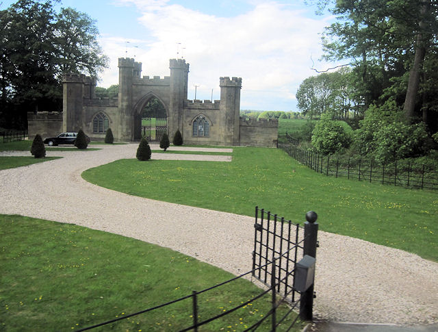
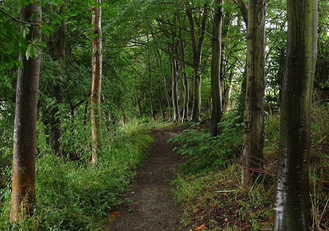
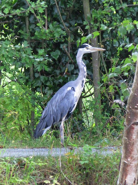
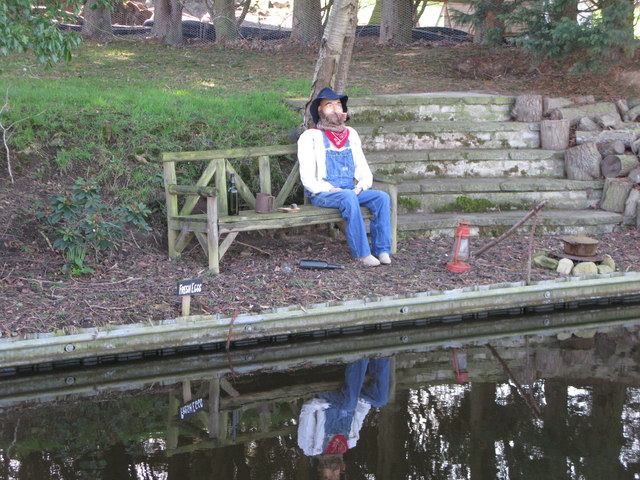
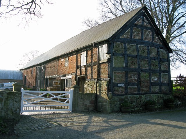
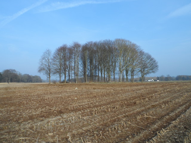
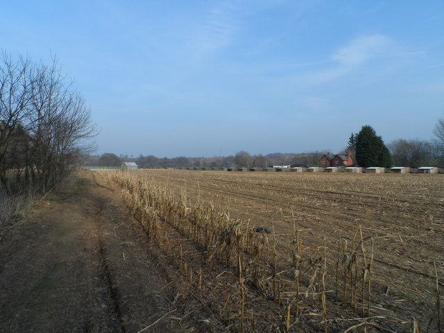
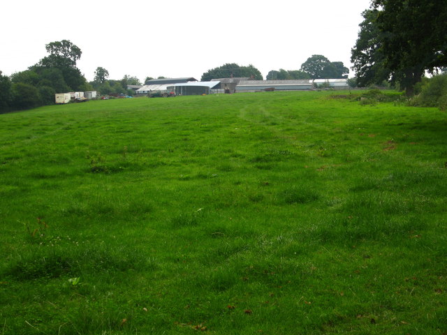
Garden Village Images

Images are sourced within 2km of 52.923718/-3.0090373 or Grid Reference SJ3236. Thanks to Geograph Open Source API. All images are credited.

Barn at Lower House Farm
Old barn At Grandarr Kennels.
Old barn
At Grandarr Kennels.
Ordnance Survey Cut Mark This OS cut mark can be found on the wall angle of St Martin's Church. It marks a point 123.011m above mean sea level.
Ordnance Survey Cut Mark
This OS cut mark can be found on the wall angle of St Martin's Church. It marks a point 123.011m above mean sea level.
Ordnance Survey Cut Mark This OS cut mark can be found on the SW angle of St Martin's Church. It marks a point 123.606m above mean sea level.
Ordnance Survey Cut Mark
This OS cut mark can be found on the SW angle of St Martin's Church. It marks a point 123.606m above mean sea level.
A Miner of the 60s A statue of a miner in St Martins, commemorating the 50th anniversary of the end of coal production at the Ifton Colliery on 22 November 1968.  The statue is entitled 'A Miner of the 60s'.  The statue was installed on 24 November 2018.
A Miner of the 60s
A statue of a miner in St Martins, commemorating the 50th anniversary of the end of coal production at the Ifton Colliery on 22 November 1968. The statue is entitled 'A Miner of the 60s'. The statue was installed on 24 November 2018.
Bank Top Industrial Estate from the SU Canal Formerly a Prisoner of war camp (Italians) now busy Industrial Estate
Bank Top Industrial Estate from the SU Canal
Formerly a Prisoner of war camp (Italians) now busy Industrial Estate
St Martins Post Office in mourning Early this year the owner of the Post Office decided to retire. St Martins lost its Post Office. The letter Box and the door was painted black, which was very poignant.
St Martins Post Office in mourning
Early this year the owner of the Post Office decided to retire. St Martins lost its Post Office. The letter Box and the door was painted black, which was very poignant.
Entrance to Brynkinalt House from B5070
Parkland near Weston Rhyn It definitely has that look, but the OS no longer seems to mark parkland as thoroughly as it once did. This is, or was, probably attached to Henlle Hall.
Parkland near Weston Rhyn
It definitely has that look, but the OS no longer seems to mark parkland as thoroughly as it once did. This is, or was, probably attached to Henlle Hall.
Path near Weston Rhyn The trees, glistening as a result of a recent downpour, saved me from the worst effects of aformentioned weather.
Path near Weston Rhyn
The trees, glistening as a result of a recent downpour, saved me from the worst effects of aformentioned weather.
Heron on the prowl This heron was standing on the service road just East of the St Martins Moor Bridge.
Heron on the prowl
This heron was standing on the service road just East of the St Martins Moor Bridge.
All the time in the World A cute little dummy sitting on a bench 'busy' fishing and watching the World go by.
All the time in the World
A cute little dummy sitting on a bench 'busy' fishing and watching the World go by.
The Timber framed barn at Plas Wiggin from a different angle
Small coppice in the middle of a large field Small group of broad leaved trees.
Small coppice in the middle of a large field
Small group of broad leaved trees.
Pheasant rearing sheds in a field of maize stubble This is a large game bird rearing enterprise.
Pheasant rearing sheds in a field of maize stubble
This is a large game bird rearing enterprise.
Field west of Lower House Farm Taken from the Llwybr Maelor Way beside Bramble Wood
Field west of Lower House Farm
Taken from the Llwybr Maelor Way beside Bramble Wood
Minor lane past Lower House Farm
Unusual barn on a minor road Beside Grandarr Kennels
Unusual barn on a minor road
Beside Grandarr Kennels
Show me another place!

Garden Village is located at Grid Ref: SJ3236 (Lat: 52.923718, Lng: -3.0090373)

Unitary Authority: Shropshire

Police Authority: West Merica

What 3 Words

///uncouth.verbs.shrubbery. Near Chirk, Wrexham

Related Wikis

St Martin's, Shropshire

St Martin's (Welsh: Llanfarthin) is a village and civil parish in Shropshire, England, just north of Oswestry and east of Chirk, Wales on the England–Wales...

Ifton Meadows

Ifton Meadows is a Local Nature Reserve north of Oswestry in the county of Shropshire, England. == Location == The reserve is near St Martin's north of...

St Martin's School, Shropshire

St. Martin's School 3-16 Learning Community (formerly Rhyn Park School and Performing Arts College) is a mixed all-through school situated in St. Martin...

Chirk Rural District

Chirk was a rural district in the administrative county of Denbighshire from 1894 to 1935. The rural district was formed from parts of Oswestry and Corwen...

Brynkinalt

Brynkinalt Hall (Welsh: Neuadd Bryncunallt; or simply Brynkinalt (Welsh: Bryncunallt)) is a Grade-II* listed private property, built in 1612, near Chirk...

Chirk

Chirk (Welsh: Y Waun) is a town and community in Wrexham County Borough, Wales, 10 miles (16 kilometres) south of Wrexham, between it and Oswestry. At...

Ceiriog Rural District

Ceiriog was a rural district in the administrative county of Denbighshire from 1935 to 1974. The rural district was formed by a County Review Order in...

Moreton Hall School

Moreton Hall is an independent boarding and day school for girls aged 6 months to 18 and boys aged 6 months to 13, situated in North Shropshire four miles...

Related Videos

Saint Martin Tour 2021 (Green Bangla Tourism) #Tour #Package

Saint Martin Tour 4 Night 3 Days Green Bangla Tourism Shop-2, 3rd Floor Baghdad Shopping Complex Mirpur -1 Dhaka.

Saint Martin Update (04/05/2021)|Tour Vibes|

Please do like, comment & subscribe.

Hot air balloon trip

DJI mini 2 footage of my friends hot air balloon. Permission from the pilot to film from a safe distance :) Please enjoy. Any feedback ...

Nearby Amenities

Located within 500m of 52.923718,-3.0090373
Crossing
Lat/Long: 52.9244801/-3.0075065
Mini Roundabout
Direction: clockwise
Lat/Long: 52.9246298/-3.0070181
Ifton Heath
Place: village
Lat/Long: 52.9242933/-3.0024392
Fuel
Stans Fuel Station
Addr City: St Martins
Addr Postcode: SY11 3AY
Brand: Texaco
Brand Wikidata: Q775060
Website: https://locations.valero.com/en-gb/LocationDetails/Index/OVERTON-ROAD/0000887019
Lat/Long: 52.9255203/-3.0084543
Parking
Fee: no
Lat/Long: 52.9249713/-3.0091919
Parking
Lat/Long: 52.9247191/-3.0077569
Generator Method: photovoltaic
Generator Output Electricity: yes
Generator Source: solar
Generator Type: solar_photovoltaic_panel
Location: roof
Power: generator
Lat/Long: 52.9236326/-3.0031645
Generator Method: photovoltaic
Generator Output Electricity: yes
Generator Source: solar
Generator Type: solar_photovoltaic_panel
Location: roof
Power: generator
Lat/Long: 52.9238218/-3.0015887
Generator Method: photovoltaic
Generator Output Electricity: yes
Generator Source: solar
Generator Type: solar_photovoltaic_panel
Location: roof
Power: generator
Lat/Long: 52.9232/-3.0019951
Generator Method: photovoltaic
Generator Output Electricity: yes
Generator Source: solar
Generator Type: solar_photovoltaic_panel
Location: roof
Power: generator
Lat/Long: 52.9234329/-3.0019803
Generator Method: photovoltaic
Generator Output Electricity: yes
Generator Source: solar
Generator Type: solar_photovoltaic_panel
Location: roof
Power: generator
Lat/Long: 52.9224966/-3.0027327
Generator Method: photovoltaic
Generator Output Electricity: yes
Generator Source: solar
Generator Type: solar_photovoltaic_panel
Location: roof
Power: generator
Lat/Long: 52.9239584/-3.0053492
Generator Method: photovoltaic
Generator Output Electricity: yes
Generator Source: solar
Generator Type: solar_photovoltaic_panel
Location: roof
Power: generator
Lat/Long: 52.9209663/-3.010672
Generator Method: photovoltaic
Generator Output Electricity: yes
Generator Source: solar
Generator Type: solar_photovoltaic_panel
Location: roof
Power: generator
Lat/Long: 52.9211895/-3.0109134
Generator Method: photovoltaic
Generator Output Electricity: yes
Generator Source: solar
Generator Type: solar_photovoltaic_panel
Location: roof
Power: generator
Lat/Long: 52.9209679/-3.0102697
Generator Method: photovoltaic
Generator Output Electricity: yes
Generator Source: solar
Generator Type: solar_photovoltaic_panel
Location: roof
Power: generator
Lat/Long: 52.9245024/-3.0088414
Generator Method: photovoltaic
Generator Output Electricity: yes
Generator Source: solar
Generator Type: solar_photovoltaic_panel
Location: roof
Power: generator
Lat/Long: 52.9244086/-3.0086376
Generator Method: photovoltaic
Generator Output Electricity: yes
Generator Source: solar
Generator Type: solar_photovoltaic_panel
Location: roof
Power: generator
Lat/Long: 52.9242986/-3.008305
Generator Method: photovoltaic
Generator Output Electricity: yes
Generator Source: solar
Generator Type: solar_photovoltaic_panel
Location: roof
Power: generator
Lat/Long: 52.9244846/-3.008313
Generator Method: photovoltaic
Generator Output Electricity: yes
Generator Source: solar
Generator Type: solar_photovoltaic_panel
Location: roof
Power: generator
Lat/Long: 52.924698/-3.0088334
Generator Method: photovoltaic
Generator Output Electricity: yes
Generator Source: solar
Generator Type: solar_photovoltaic_panel
Location: roof
Power: generator
Lat/Long: 52.924774/-3.0087073
Generator Method: photovoltaic
Generator Output Electricity: yes
Generator Source: solar
Generator Type: solar_photovoltaic_panel
Location: roof
Power: generator
Lat/Long: 52.9249406/-3.0086778
Generator Method: photovoltaic
Generator Output Electricity: yes
Generator Source: solar
Generator Type: solar_photovoltaic_panel
Location: roof
Power: generator
Lat/Long: 52.9242388/-3.0092759
Power: pole
Lat/Long: 52.9281108/-3.0081363
Power: pole
Lat/Long: 52.9272733/-3.0061716
Power: pole
Transformer: distribution
Lat/Long: 52.9268084/-3.0055238
Power: pole
Lat/Long: 52.926375/-3.0081417
Power: pole
Lat/Long: 52.9272595/-3.0082892
Power: pole
Lat/Long: 52.9281819/-3.0086204
Power: pole
Lat/Long: 52.928013/-3.0087304
Power: pole
Lat/Long: 52.9272886/-3.0092508
Power: pole
Lat/Long: 52.9264866/-3.0098543
Power: pole
Lat/Long: 52.9228661/-3.0132687
Power: pole
Lat/Long: 52.9234434/-3.0126706
Power: pole
Lat/Long: 52.924011/-3.0120859
Power: pole
Lat/Long: 52.924615/-3.0114757
Power: pole
Lat/Long: 52.9255819/-3.0107823
Power: pole
Lat/Long: 52.9234208/-3.0161923
Power: pole
Lat/Long: 52.924032/-3.0150658
Power: pole
Lat/Long: 52.9246497/-3.0139285
Power: pole
Lat/Long: 52.9252367/-3.012912
Power: pole
Lat/Long: 52.925856/-3.0118096
Power: pole
Lat/Long: 52.9263201/-3.0109647
Power: pole
Lat/Long: 52.9267841/-3.0101573
Power: pole
Lat/Long: 52.9275748/-3.0093607
Power: pole
Lat/Long: 52.9276282/-3.0094788
Power: pole
Lat/Long: 52.9268795/-3.0102941
Power: pole
Lat/Long: 52.9265093/-3.0109888
Power: pole
Lat/Long: 52.9260242/-3.0119276
Power: pole
Lat/Long: 52.9253014/-3.0133224
Power: pole
Lat/Long: 52.9245462/-3.0147332
Power: pole
Lat/Long: 52.9238736/-3.0160502
Man Made: utility_pole
Lat/Long: 52.9195477/-3.0076472
Direction: 10
Information: board
Tourism: information
Lat/Long: 52.9195602/-3.0076266
Bar
Ifton Miners Welfare Institute
Addr City: Oswestry
Addr Country: GB
Addr Housename: St Martins
Addr Postcode: SY11 3AY
Addr Street: Overton Road
Fhrs Authority: Shropshire
Fhrs Id: 63671
Fhrs Local Authority Id: 140550
Lat/Long: 52.9238849/-3.008076
The data included in this document is from www.openstreetmap.org. The data is made available under ODbL.

Have you been to Garden Village?

Leave your review of Garden Village below (or comments, questions and feedback).