Crosslanes

Settlement in Shropshire

England

Crosslanes

Ordnance Survey Cut Mark This OS cut mark can be found on the wall angle of St Martin's Church. It marks a point 123.011m above mean sea level.
Ordnance Survey Cut Mark Credit: Adrian Dust

Crosslanes is a small village located in the county of Shropshire, England. Situated in the West Midlands region, it lies approximately 10 miles northwest of the county town of Shrewsbury. The village is nestled amidst picturesque countryside, offering residents and visitors a tranquil and idyllic setting.

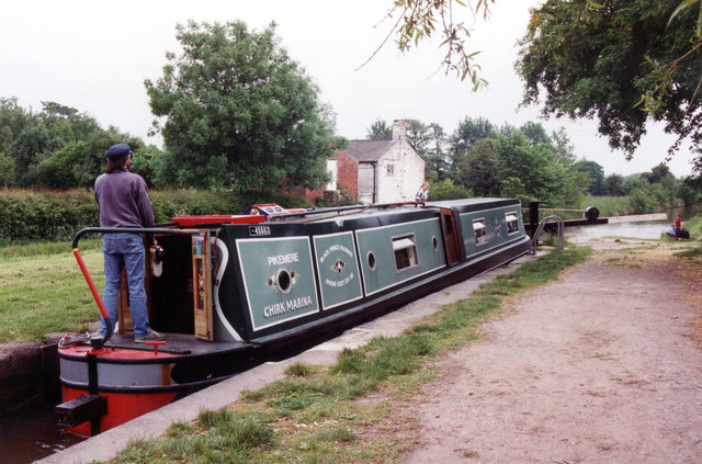
One notable feature of Crosslanes is its close proximity to the River Severn, one of the longest rivers in the United Kingdom. This provides ample opportunities for outdoor activities such as fishing, boating, and riverside walks. The village is also surrounded by lush green fields and rolling hills, making it a popular destination for nature enthusiasts and hikers.

Despite its small size, Crosslanes offers a range of amenities for its inhabitants. The village boasts a local pub, providing a gathering place for locals and visitors alike. In addition, a small convenience store caters to the everyday needs of the community.

Historically, Crosslanes has been a farming community, with agriculture playing a significant role in the local economy. However, in recent years, the village has seen some diversification, with the establishment of small businesses and services.

Crosslanes is well-connected to the wider region through road networks, with the A49 passing nearby, offering easy access to surrounding towns and cities. Public transportation is available, with regular bus services connecting the village to neighboring areas.

Overall, Crosslanes presents a charming and peaceful village, surrounded by stunning natural landscapes, providing a quality of life that attracts both residents and visitors seeking a countryside retreat.

If you have any feedback on the listing, please let us know in the comments section below.
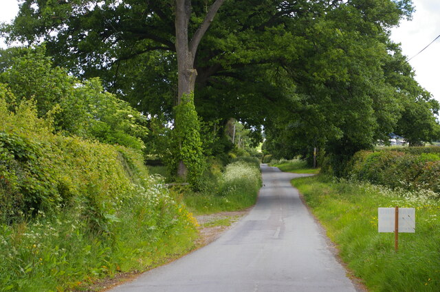
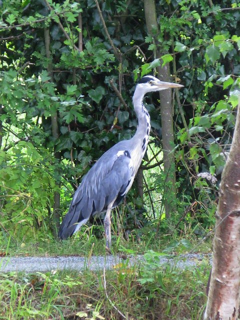
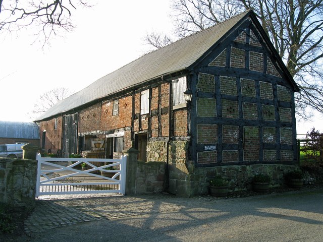
Crosslanes Images

Images are sourced within 2km of 52.919005/-3.0019076 or Grid Reference SJ3236. Thanks to Geograph Open Source API. All images are credited.

Ordnance Survey Cut Mark This OS cut mark can be found on the wall angle of St Martin's Church. It marks a point 123.011m above mean sea level.
Ordnance Survey Cut Mark
This OS cut mark can be found on the wall angle of St Martin's Church. It marks a point 123.011m above mean sea level.
Ordnance Survey Cut Mark This OS cut mark can be found on the SW angle of St Martin's Church. It marks a point 123.606m above mean sea level.
Ordnance Survey Cut Mark
This OS cut mark can be found on the SW angle of St Martin's Church. It marks a point 123.606m above mean sea level.
Looking down the lane towards Rhosygadfa
A Miner of the 60s A statue of a miner in St Martins, commemorating the 50th anniversary of the end of coal production at the Ifton Colliery on 22 November 1968.  The statue is entitled 'A Miner of the 60s'.  The statue was installed on 24 November 2018.
A Miner of the 60s
A statue of a miner in St Martins, commemorating the 50th anniversary of the end of coal production at the Ifton Colliery on 22 November 1968. The statue is entitled 'A Miner of the 60s'. The statue was installed on 24 November 2018.
Preeshenlle Bridge Bridge 15w on the Llangollen Canal.
Preeshenlle Bridge
Bridge 15w on the Llangollen Canal.
Heron on the prowl This heron was standing on the service road just East of the St Martins Moor Bridge.
Heron on the prowl
This heron was standing on the service road just East of the St Martins Moor Bridge.
The Timber framed barn at Plas Wiggin from a different angle
Cottage beside the upper lock at New Marton
New Marton Top Lock Llangollen Canal The Llangollen canal is an arm of the Shropshire Union canal that runs from Hurleston Junction to Llangollen with a wide variety of scenery along its course. Its total length is 46 miles, but the last 1½ miles from Llangollen to Llantisilio is unnavigable by any boats over about 10' length.
The canal's vital statistics for craft are:
Length 72 '
Beam 6'10"
Headroom 7'
Draught 2'3" (Hurleston to Pontcysyllte) 2' (P. to Llangollen)
These are the maximum dimensions for any craft, based on the minimum dimensions of locks & bridges.
There are a total of 21 locks on the canal, but only two between Llangollen and Whitchurch (a distance of about 31 miles). One of the most notable things about the canal is the strong flow especially in the "narrows" near Llangollen and in the tunnels near Chirk. About 12 million gallons of water passes down this canal from the River Dee to the Shropshire Union every day.
The most famous feature of this canal is the superb feat of engineering that is the 200-year-old Pontcysyllte Aqueduct rising 126' above the River Dee and running for over 335 yds - for more information on this see the numerous photos for squares SJ2742 and SJ2741
New Marton Top Lock Llangollen Canal
The Llangollen canal is an arm of the Shropshire Union canal that runs from Hurleston Junction to Llangollen with a wide variety of scenery along its course. Its total length is 46 miles, but the last 1½ miles from Llangollen to Llantisilio is unnavigable by any boats over about 10' length. The canal's vital statistics for craft are: Length 72 ' Beam 6'10" Headroom 7' Draught 2'3" (Hurleston to Pontcysyllte) 2' (P. to Llangollen) These are the maximum dimensions for any craft, based on the minimum dimensions of locks & bridges. There are a total of 21 locks on the canal, but only two between Llangollen and Whitchurch (a distance of about 31 miles). One of the most notable things about the canal is the strong flow especially in the "narrows" near Llangollen and in the tunnels near Chirk. About 12 million gallons of water passes down this canal from the River Dee to the Shropshire Union every day. The most famous feature of this canal is the superb feat of engineering that is the 200-year-old Pontcysyllte Aqueduct rising 126' above the River Dee and running for over 335 yds - for more information on this see the numerous photos for squares SJ2742 and SJ2741
Sand Hole Farm, New Marton
Cattle, Sand Hole Farm, New Marton
St. Martin's, St. Martins, Shropshire
New row of shops, St. Martins The building is about five years old and now has a vet and a fast food outlet.
New row of shops, St. Martins
The building is about five years old and now has a vet and a fast food outlet.
Bridge 12W, Llangollen Canal New Marton Roving Bridge
Bridge 12W, Llangollen Canal
New Marton Roving Bridge
Llangollen Canal Stretch of the canal north of New marton Top lock built on a slight embankment.
Llangollen Canal
Stretch of the canal north of New marton Top lock built on a slight embankment.
Bridge 13W, Llangollen Canal St Martin's Moor Bridge  which carries the B5069 over the canal.
Bridge 13W, Llangollen Canal
St Martin's Moor Bridge which carries the B5069 over the canal.
Bridge 14W, Llangollen Canal Sarn Bridge
Bridge 14W, Llangollen Canal
Sarn Bridge
Bridge 15W, Llangollen Canal Preeshenile Bridge
Bridge 15W, Llangollen Canal
Preeshenile Bridge
Show me another place!

Crosslanes is located at Grid Ref: SJ3236 (Lat: 52.919005, Lng: -3.0019076)

Unitary Authority: Shropshire

Police Authority: West Merica

What 3 Words

///legroom.moon.zebra. Near Gobowen, Shropshire

Related Wikis

St Martin's, Shropshire

St Martin's (Welsh: Llanfarthin) is a village and civil parish in Shropshire, England, just north of Oswestry and east of Chirk, Wales on the England–Wales...

St Martin's School, Shropshire

St. Martin's School 3-16 Learning Community (formerly Rhyn Park School and Performing Arts College) is a mixed all-through school situated in St. Martin...

Ifton Meadows

Ifton Meadows is a Local Nature Reserve north of Oswestry in the county of Shropshire, England. == Location == The reserve is near St Martin's north of...

Chirk Rural District

Chirk was a rural district in the administrative county of Denbighshire from 1894 to 1935. The rural district was formed from parts of Oswestry and Corwen...

Nearby Amenities

Located within 500m of 52.919005,-3.0019076
Generator Method: photovoltaic
Generator Output Electricity: yes
Generator Source: solar
Generator Type: solar_photovoltaic_panel
Location: roof
Power: generator
Lat/Long: 52.9232/-3.0019951
Generator Method: photovoltaic
Generator Output Electricity: yes
Generator Source: solar
Generator Type: solar_photovoltaic_panel
Location: roof
Power: generator
Lat/Long: 52.9234329/-3.0019803
Generator Method: photovoltaic
Generator Output Electricity: yes
Generator Source: solar
Generator Type: solar_photovoltaic_panel
Location: roof
Power: generator
Lat/Long: 52.9224966/-3.0027327
Power: pole
Lat/Long: 52.9158119/-2.9979184
Power: pole
Lat/Long: 52.9170879/-2.9977414
Power: pole
Lat/Long: 52.9180243/-2.9975805
Power: pole
Lat/Long: 52.9189543/-2.9967812
Power: pole
Lat/Long: 52.919648/-2.9962099
Power: pole
Lat/Long: 52.9206135/-2.9952791
Man Made: utility_pole
Lat/Long: 52.9195477/-3.0076472
Direction: 10
Information: board
Tourism: information
Lat/Long: 52.9195602/-3.0076266
The data included in this document is from www.openstreetmap.org. The data is made available under ODbL.

Have you been to Crosslanes?

Leave your review of Crosslanes below (or comments, questions and feedback).