St Martin's

Settlement in Shropshire

England

St Martin's

Barn at Lower House Farm
Barn at Lower House Farm Credit: John H Darch

St Martin's is a quaint village located in the county of Shropshire, England. Situated on the banks of the River Dee, it is surrounded by picturesque countryside and offers a peaceful and idyllic setting. The village is part of the civil parish of St Martin's and has a population of around 1,500 residents.

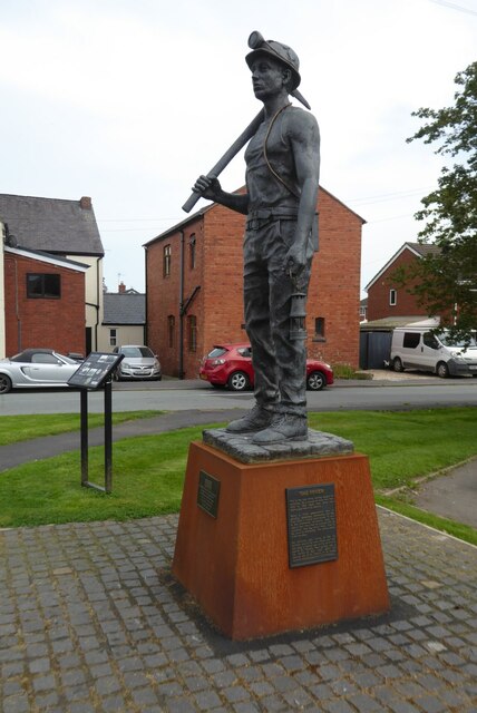
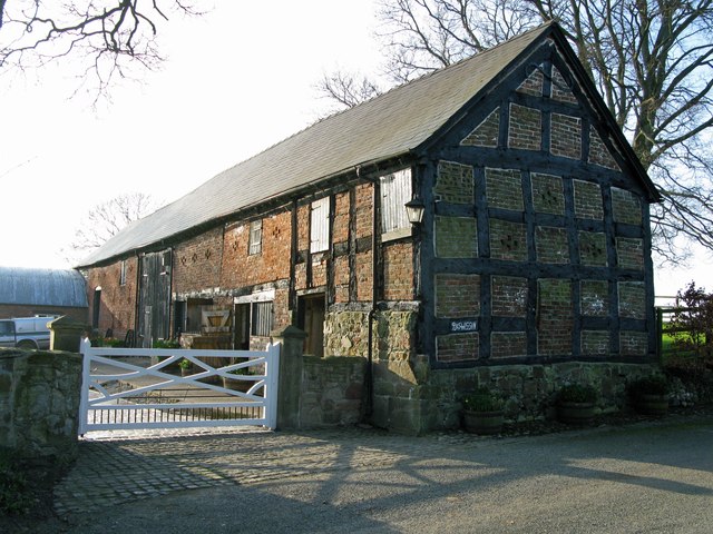
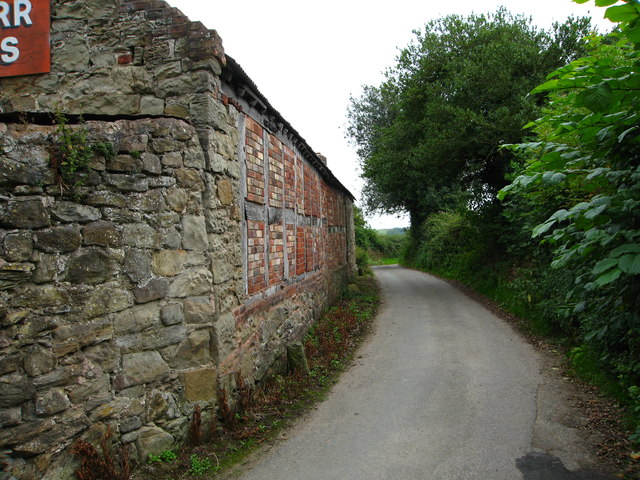
St Martin's is known for its rich history, dating back to the Roman era when it was an important crossing point over the River Dee. The village grew in significance during the Industrial Revolution, with the establishment of several coal mines and ironworks in the area. Today, remnants of this industrial heritage can still be seen through the preserved buildings and structures.

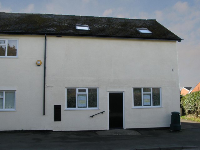
The village is home to a number of amenities and facilities that cater to the needs of its residents. These include a primary school, a community center, a local pub, and a convenience store. The village also has a strong sense of community, with regular events and activities organized throughout the year.

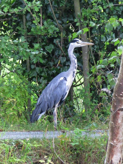
Nature enthusiasts will find plenty to explore in the surrounding countryside. St Martin's is located near the Shropshire Hills Area of Outstanding Natural Beauty, offering stunning landscapes and walking trails. The River Dee also provides opportunities for fishing and boating.

Overall, St Martin's is a charming village that combines a rich history with a peaceful atmosphere. Its beautiful surroundings and community spirit make it an appealing place to live or visit for those seeking a tranquil rural setting.

If you have any feedback on the listing, please let us know in the comments section below.
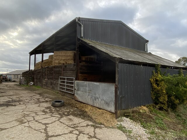
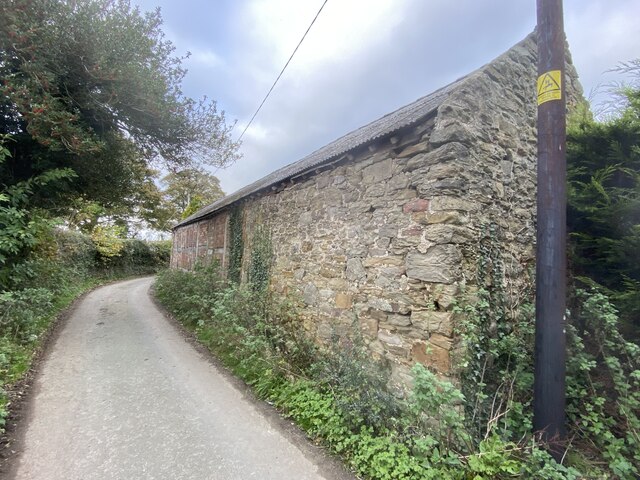
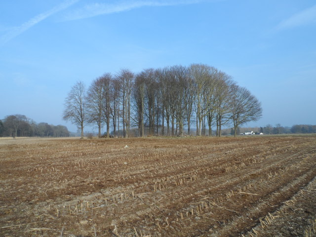
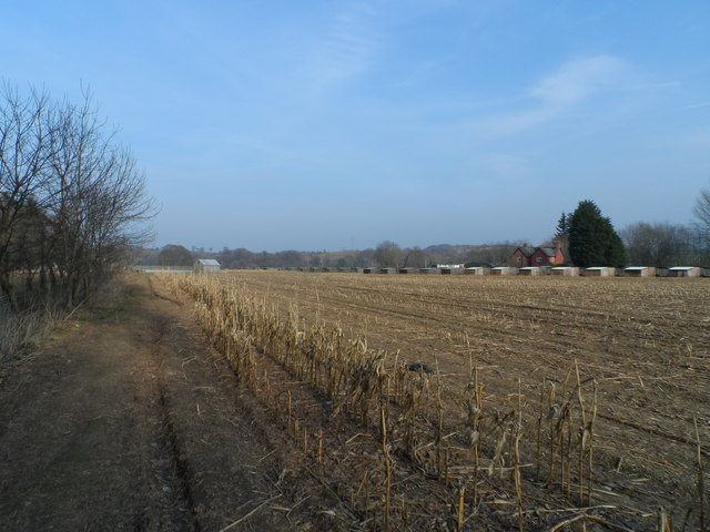
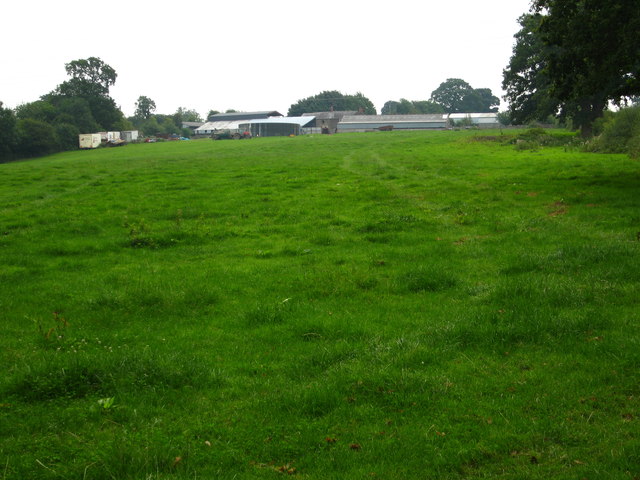
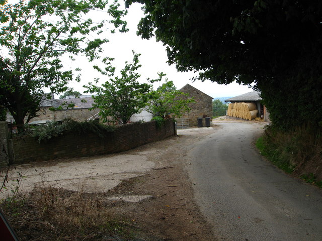
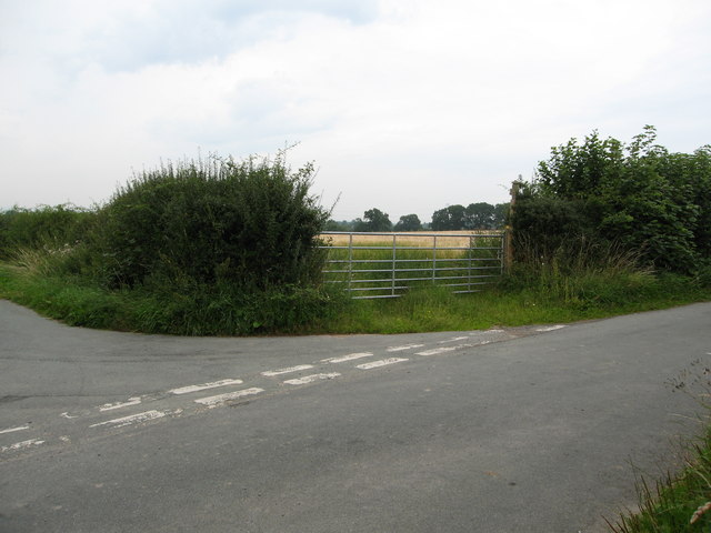
St Martin's Images

Images are sourced within 2km of 52.924607/-3.007139 or Grid Reference SJ3236. Thanks to Geograph Open Source API. All images are credited.

Barn at Lower House Farm
Old barn At Grandarr Kennels.
Old barn
At Grandarr Kennels.
Ordnance Survey Cut Mark This OS cut mark can be found on the wall angle of St Martin's Church. It marks a point 123.011m above mean sea level.
Ordnance Survey Cut Mark
This OS cut mark can be found on the wall angle of St Martin's Church. It marks a point 123.011m above mean sea level.
Ordnance Survey Cut Mark This OS cut mark can be found on the SW angle of St Martin's Church. It marks a point 123.606m above mean sea level.
Ordnance Survey Cut Mark
This OS cut mark can be found on the SW angle of St Martin's Church. It marks a point 123.606m above mean sea level.
A Miner of the 60s A statue of a miner in St Martins, commemorating the 50th anniversary of the end of coal production at the Ifton Colliery on 22 November 1968.  The statue is entitled 'A Miner of the 60s'.  The statue was installed on 24 November 2018.
A Miner of the 60s
A statue of a miner in St Martins, commemorating the 50th anniversary of the end of coal production at the Ifton Colliery on 22 November 1968. The statue is entitled 'A Miner of the 60s'. The statue was installed on 24 November 2018.
St Martins Post Office in mourning Early this year the owner of the Post Office decided to retire. St Martins lost its Post Office. The letter Box and the door was painted black, which was very poignant.
St Martins Post Office in mourning
Early this year the owner of the Post Office decided to retire. St Martins lost its Post Office. The letter Box and the door was painted black, which was very poignant.
Heron on the prowl This heron was standing on the service road just East of the St Martins Moor Bridge.
Heron on the prowl
This heron was standing on the service road just East of the St Martins Moor Bridge.
The Timber framed barn at Plas Wiggin from a different angle
Small coppice in the middle of a large field Small group of broad leaved trees.
Small coppice in the middle of a large field
Small group of broad leaved trees.
Pheasant rearing sheds in a field of maize stubble This is a large game bird rearing enterprise.
Pheasant rearing sheds in a field of maize stubble
This is a large game bird rearing enterprise.
Field west of Lower House Farm Taken from the Llwybr Maelor Way beside Bramble Wood
Field west of Lower House Farm
Taken from the Llwybr Maelor Way beside Bramble Wood
Minor lane past Lower House Farm
Unusual barn on a minor road Beside Grandarr Kennels
Unusual barn on a minor road
Beside Grandarr Kennels
Fields west of Ifton Hall Ifton Hall is hidden behind the trees near the centre and New Ifton Farm is on the right.
Fields west of Ifton Hall
Ifton Hall is hidden behind the trees near the centre and New Ifton Farm is on the right.
Minor road junction by New House Farm At Pen-y-Bryn. This on the Llwybr Maelor Way
Minor road junction by New House Farm
At Pen-y-Bryn. This on the Llwybr Maelor Way
Start of public footpath through fields Leading from the junction of minor roads near Ifton Hall to Rock Farm
Start of public footpath through fields
Leading from the junction of minor roads near Ifton Hall to Rock Farm
The Llwybr Maelor Way Leading west across fields
The Llwybr Maelor Way
Leading west across fields
St. Martin's, St. Martins, Shropshire
Show me another place!

St Martin's is located at Grid Ref: SJ3236 (Lat: 52.924607, Lng: -3.007139)

Unitary Authority: Shropshire

Police Authority: West Mercia

What 3 Words

///plums.parties.hasten. Near Chirk, Wrexham

Related Wikis

St Martin's, Shropshire

St Martin's (Welsh: Llanfarthin) is a village and civil parish in Shropshire, England, just north of Oswestry and east of Chirk, Wales on the England–Wales...

Ifton Meadows

Ifton Meadows is a Local Nature Reserve north of Oswestry in the county of Shropshire, England. == Location == The reserve is near St Martin's north of...

St Martin's School, Shropshire

St. Martin's School 3-16 Learning Community (formerly Rhyn Park School and Performing Arts College) is a mixed all-through school situated in St. Martin...

Chirk Rural District

Chirk was a rural district in the administrative county of Denbighshire from 1894 to 1935. The rural district was formed from parts of Oswestry and Corwen...

Brynkinalt

Brynkinalt Hall (Welsh: Neuadd Bryncunallt; or simply Brynkinalt (Welsh: Bryncunallt)) is a Grade-II* listed private property, built in 1612, near Chirk...

River Ceiriog

The River Ceiriog (Welsh: Afon Ceiriog) is an 18 miles (29 km) long river in north east Wales, whose name may derive from a term meaning "favoured one...

Chirk

Chirk (Welsh: Y Waun) is a town and community in Wrexham County Borough, Wales, 10 miles (16 kilometres) south of Wrexham, between it and Oswestry. At...

Ceiriog Rural District

Ceiriog was a rural district in the administrative county of Denbighshire from 1935 to 1974. The rural district was formed by a County Review Order in...

Nearby Amenities

Located within 500m of 52.924607,-3.007139
Crossing
Lat/Long: 52.9244801/-3.0075065
Mini Roundabout
Direction: clockwise
Lat/Long: 52.9246298/-3.0070181
Ifton Heath
Place: village
Lat/Long: 52.9242933/-3.0024392
Fuel
Stans Fuel Station
Addr City: St Martins
Addr Postcode: SY11 3AY
Brand: Texaco
Brand Wikidata: Q775060
Website: https://locations.valero.com/en-gb/LocationDetails/Index/OVERTON-ROAD/0000887019
Lat/Long: 52.9255203/-3.0084543
Parking
Fee: no
Lat/Long: 52.9249713/-3.0091919
Parking
Lat/Long: 52.9247191/-3.0077569
Generator Method: photovoltaic
Generator Output Electricity: yes
Generator Source: solar
Generator Type: solar_photovoltaic_panel
Location: roof
Power: generator
Lat/Long: 52.9236326/-3.0031645
Generator Method: photovoltaic
Generator Output Electricity: yes
Generator Source: solar
Generator Type: solar_photovoltaic_panel
Location: roof
Power: generator
Lat/Long: 52.9238218/-3.0015887
Generator Method: photovoltaic
Generator Output Electricity: yes
Generator Source: solar
Generator Type: solar_photovoltaic_panel
Location: roof
Power: generator
Lat/Long: 52.9232/-3.0019951
Generator Method: photovoltaic
Generator Output Electricity: yes
Generator Source: solar
Generator Type: solar_photovoltaic_panel
Location: roof
Power: generator
Lat/Long: 52.9234329/-3.0019803
Generator Method: photovoltaic
Generator Output Electricity: yes
Generator Source: solar
Generator Type: solar_photovoltaic_panel
Location: roof
Power: generator
Lat/Long: 52.9252552/-2.9999244
Generator Method: photovoltaic
Generator Output Electricity: yes
Generator Source: solar
Generator Type: solar_photovoltaic_panel
Location: roof
Power: generator
Lat/Long: 52.9269353/-3.0013057
Generator Method: photovoltaic
Generator Output Electricity: yes
Generator Source: solar
Generator Type: solar_photovoltaic_panel
Location: roof
Power: generator
Lat/Long: 52.9262424/-3.0025342
Generator Method: photovoltaic
Generator Output Electricity: yes
Generator Source: solar
Generator Type: solar_photovoltaic_panel
Location: roof
Power: generator
Lat/Long: 52.9241641/-3.0003965
Generator Method: photovoltaic
Generator Output Electricity: yes
Generator Source: solar
Generator Type: solar_photovoltaic_panel
Location: roof
Power: generator
Lat/Long: 52.9241657/-3.0004609
Generator Method: photovoltaic
Generator Output Electricity: yes
Generator Source: solar
Generator Type: solar_photovoltaic_panel
Location: roof
Power: generator
Lat/Long: 52.9224966/-3.0027327
Generator Method: photovoltaic
Generator Output Electricity: yes
Generator Source: solar
Generator Type: solar_photovoltaic_panel
Location: roof
Power: generator
Lat/Long: 52.9239584/-3.0053492
Generator Method: photovoltaic
Generator Output Electricity: yes
Generator Source: solar
Generator Type: solar_photovoltaic_panel
Location: roof
Power: generator
Lat/Long: 52.9209663/-3.010672
Generator Method: photovoltaic
Generator Output Electricity: yes
Generator Source: solar
Generator Type: solar_photovoltaic_panel
Location: roof
Power: generator
Lat/Long: 52.9211895/-3.0109134
Generator Method: photovoltaic
Generator Output Electricity: yes
Generator Source: solar
Generator Type: solar_photovoltaic_panel
Location: roof
Power: generator
Lat/Long: 52.9209679/-3.0102697
Generator Method: photovoltaic
Generator Output Electricity: yes
Generator Source: solar
Generator Type: solar_photovoltaic_panel
Location: roof
Power: generator
Lat/Long: 52.9245024/-3.0088414
Generator Method: photovoltaic
Generator Output Electricity: yes
Generator Source: solar
Generator Type: solar_photovoltaic_panel
Location: roof
Power: generator
Lat/Long: 52.9244086/-3.0086376
Generator Method: photovoltaic
Generator Output Electricity: yes
Generator Source: solar
Generator Type: solar_photovoltaic_panel
Location: roof
Power: generator
Lat/Long: 52.9242986/-3.008305
Generator Method: photovoltaic
Generator Output Electricity: yes
Generator Source: solar
Generator Type: solar_photovoltaic_panel
Location: roof
Power: generator
Lat/Long: 52.9244846/-3.008313
Generator Method: photovoltaic
Generator Output Electricity: yes
Generator Source: solar
Generator Type: solar_photovoltaic_panel
Location: roof
Power: generator
Lat/Long: 52.924698/-3.0088334
Generator Method: photovoltaic
Generator Output Electricity: yes
Generator Source: solar
Generator Type: solar_photovoltaic_panel
Location: roof
Power: generator
Lat/Long: 52.924774/-3.0087073
Generator Method: photovoltaic
Generator Output Electricity: yes
Generator Source: solar
Generator Type: solar_photovoltaic_panel
Location: roof
Power: generator
Lat/Long: 52.9249406/-3.0086778
Generator Method: photovoltaic
Generator Output Electricity: yes
Generator Source: solar
Generator Type: solar_photovoltaic_panel
Location: roof
Power: generator
Lat/Long: 52.9242388/-3.0092759
Power: pole
Lat/Long: 52.9284673/-3.0079982
Power: pole
Lat/Long: 52.928629/-3.0072619
Power: pole
Lat/Long: 52.9288877/-3.0061367
Power: pole
Lat/Long: 52.928739/-3.0073035
Power: pole
Lat/Long: 52.9284883/-3.0084018
Power: pole
Lat/Long: 52.9282361/-3.010726
Power: pole
Lat/Long: 52.9282248/-3.009578
Power: pole
Lat/Long: 52.9284819/-3.0034599
Power: pole
Lat/Long: 52.9283703/-3.0048788
Power: pole
Lat/Long: 52.9281108/-3.0081363
Power: pole
Lat/Long: 52.928279/-3.0059972
Power: pole
Lat/Long: 52.9272733/-3.0061716
Power: pole
Transformer: distribution
Lat/Long: 52.9268084/-3.0055238
Power: pole
Lat/Long: 52.926375/-3.0081417
Power: pole
Lat/Long: 52.9272595/-3.0082892
Power: pole
Lat/Long: 52.9282531/-3.0084823
Power: transformer
Lat/Long: 52.9284415/-3.0086741
Power: transformer
Lat/Long: 52.92849/-3.0090134
Power: pole
Lat/Long: 52.9282199/-3.008831
Power: pole
Lat/Long: 52.9282135/-3.0087022
Power: pole
Lat/Long: 52.9281819/-3.0086204
Power: pole
Lat/Long: 52.928013/-3.0087304
Power: pole
Lat/Long: 52.9272886/-3.0092508
Power: pole
Lat/Long: 52.9264866/-3.0098543
Power: pole
Lat/Long: 52.9228661/-3.0132687
Power: pole
Lat/Long: 52.9234434/-3.0126706
Power: pole
Lat/Long: 52.924011/-3.0120859
Power: pole
Lat/Long: 52.924615/-3.0114757
Power: pole
Lat/Long: 52.9255819/-3.0107823
Power: pole
Lat/Long: 52.9246497/-3.0139285
Power: pole
Lat/Long: 52.9252367/-3.012912
Power: pole
Lat/Long: 52.925856/-3.0118096
Power: pole
Lat/Long: 52.9263201/-3.0109647
Power: pole
Lat/Long: 52.9267841/-3.0101573
Power: pole
Lat/Long: 52.9275748/-3.0093607
Power: pole
Lat/Long: 52.9276282/-3.0094788
Power: pole
Lat/Long: 52.9268795/-3.0102941
Power: pole
Lat/Long: 52.9265093/-3.0109888
Power: pole
Lat/Long: 52.9260242/-3.0119276
Power: pole
Lat/Long: 52.9253014/-3.0133224
Bar
Ifton Miners Welfare Institute
Addr City: Oswestry
Addr Country: GB
Addr Housename: St Martins
Addr Postcode: SY11 3AY
Addr Street: Overton Road
Fhrs Authority: Shropshire
Fhrs Id: 63671
Fhrs Local Authority Id: 140550
Lat/Long: 52.9238849/-3.008076
The data included in this document is from www.openstreetmap.org. The data is made available under ODbL.

Have you been to St Martin's?

Leave your review of St Martin's below (or comments, questions and feedback).