Garden City
Settlement in Oxfordshire Cherwell
England
Garden City

Garden City is a picturesque village located in the county of Oxfordshire, England. Situated approximately 10 miles northwest of the historic city of Oxford, Garden City is renowned for its idyllic rural setting and charming atmosphere. The village is nestled amidst the stunning countryside, offering residents and visitors a peaceful retreat from the hustle and bustle of city life.
Garden City is characterized by its quaint thatched cottages, well-manicured gardens, and winding country lanes. The village retains much of its traditional charm, with many buildings dating back several centuries. The local architecture showcases a mix of styles, including Tudor, Georgian, and Victorian.
Despite its small size, Garden City boasts a close-knit community that is known for its warmth and hospitality. The village is home to a variety of amenities, including a village hall, a primary school, and a local pub, where locals and visitors can gather and socialize.
Surrounded by stunning natural beauty, Garden City offers ample opportunities for outdoor activities. The village is located near several nature reserves and walking trails, allowing residents and visitors to explore the picturesque countryside on foot or by bike.
Overall, Garden City is a hidden gem in Oxfordshire, offering a peaceful and charming escape for those seeking a tranquil village atmosphere amidst stunning natural surroundings.
If you have any feedback on the listing, please let us know in the comments section below.
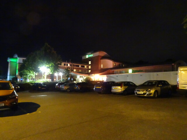
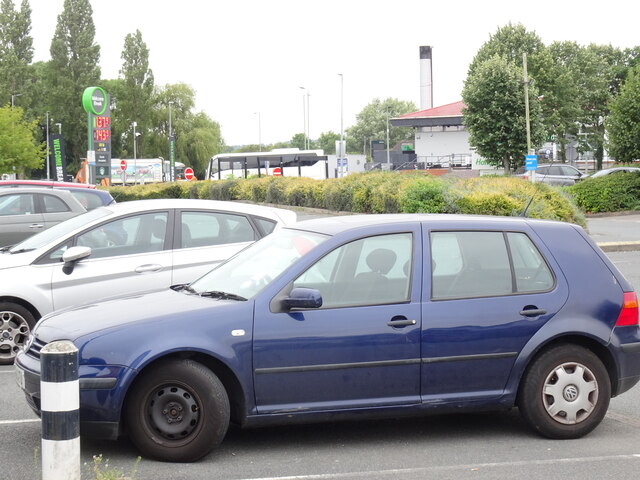
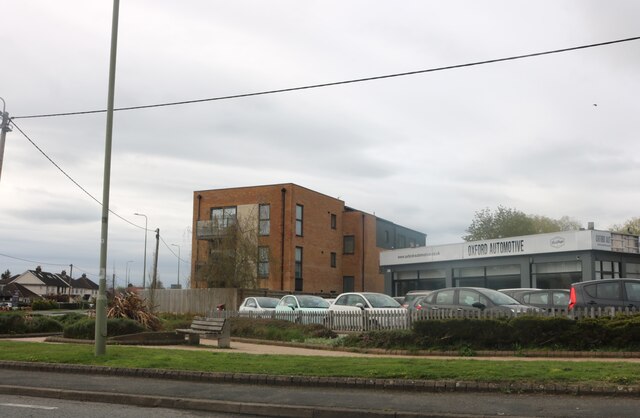
Garden City Images
Images are sourced within 2km of 51.810006/-1.2806713 or Grid Reference SP4912. Thanks to Geograph Open Source API. All images are credited.


Garden City is located at Grid Ref: SP4912 (Lat: 51.810006, Lng: -1.2806713)
Administrative County: Oxfordshire
District: Cherwell
Police Authority: Thames Valley
What 3 Words
///heavy.ahead.shatters. Near Kidlington, Oxfordshire
Nearby Locations
Related Wikis

Oxford Zoo
Oxford Zoo was a zoo in Kidlington, just north of the city of Oxford in Oxfordshire, England. It was opened in 1931 and closed in 1937.Animals at the zoo...
Gosford Hill School
Gosford Hill School is a co-educational secondary school with academy status in the village of Kidlington in Oxfordshire, England. == History == The school...
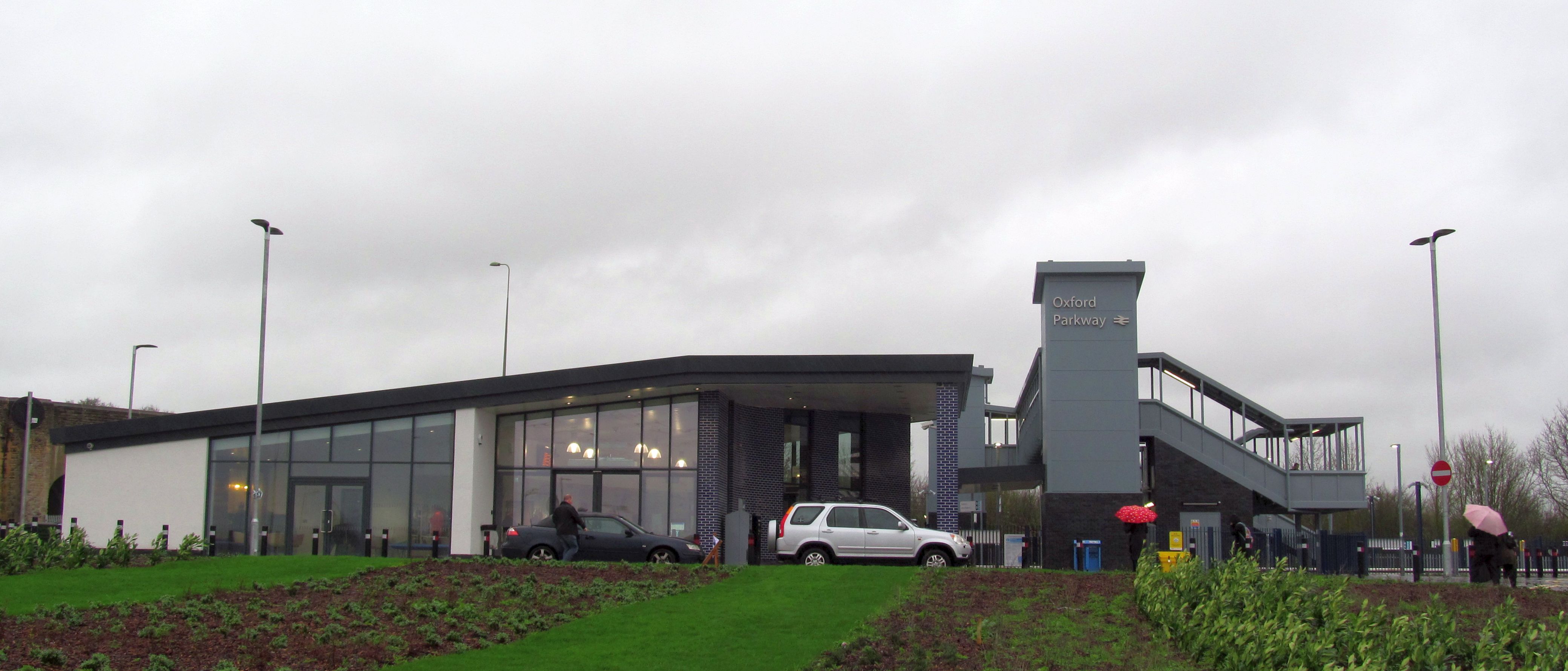
Oxford Parkway railway station
Oxford Parkway railway station is a railway station at Water Eaton, Oxfordshire, on the Oxford–Bicester line. Full regular weekday service began on Monday...
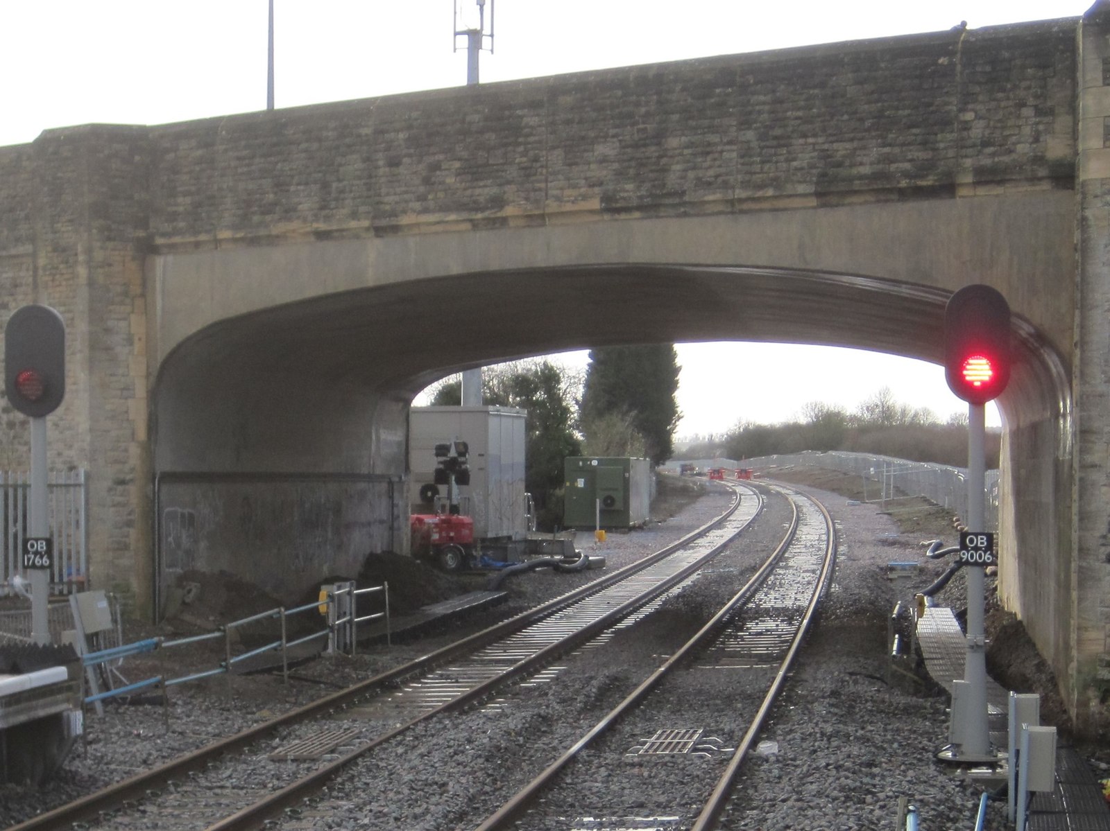
Oxford Road Halt railway station
Oxford Road Halt was a railway station on the Varsity Line 1 mile (1.6 km) west of the hamlet of Water Eaton, Oxfordshire. == History == The Varsity Line...
Kidlington F.C.
Kidlington Football Club is a football club based in Kidlington, Oxfordshire, England. They are currently members of the Southern League Division One Central...

Gosford, Oxfordshire
Gosford is a village immediately southeast of Kidlington, Oxfordshire, England. It is in the civil parish of Gosford and Water Eaton. The 2011 Census recorded...
Gosford and Water Eaton
Gosford and Water Eaton is a civil parish in the Cherwell district of the county of Oxfordshire, England. It is north of the city of Oxford and is crossed...
Water Eaton, Oxfordshire
Water Eaton is a hamlet in the civil parish of Gosford and Water Eaton, in the Cherwell district, in the county of Oxfordshire, England. It is between...
Nearby Amenities
Located within 500m of 51.810006,-1.2806713Have you been to Garden City?
Leave your review of Garden City below (or comments, questions and feedback).