Garden City

Settlement in Somerset South Somerset

England

Garden City

Signposts, Huish Episcopi, Somerset
Signposts, Huish Episcopi, Somerset Credit: nick macneill

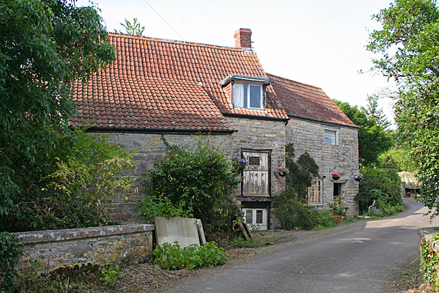
Garden City is a charming village located in the county of Somerset, England. Situated in the picturesque Mendip Hills, it offers a tranquil and idyllic setting for residents and visitors alike. With a population of around 2,500 people, it maintains a close-knit community atmosphere.

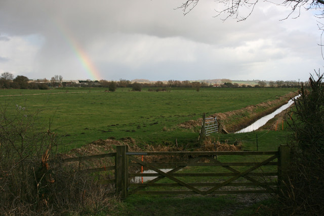
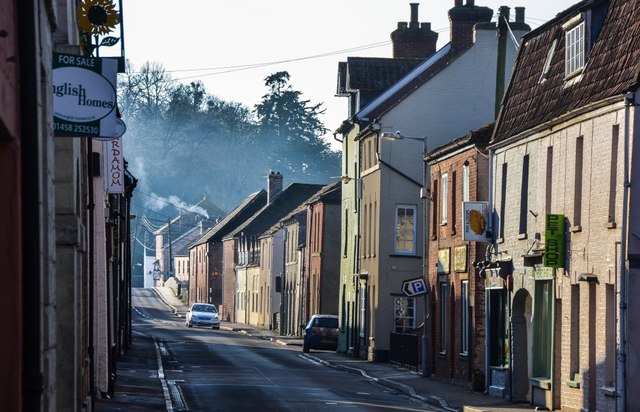
The village is renowned for its beautiful gardens and green spaces, which have earned it the name "Garden City." These well-maintained gardens can be found throughout the village, adding to its overall aesthetic appeal. The abundance of flowers and plants create a vibrant and colorful environment, particularly during the spring and summer months.

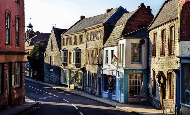
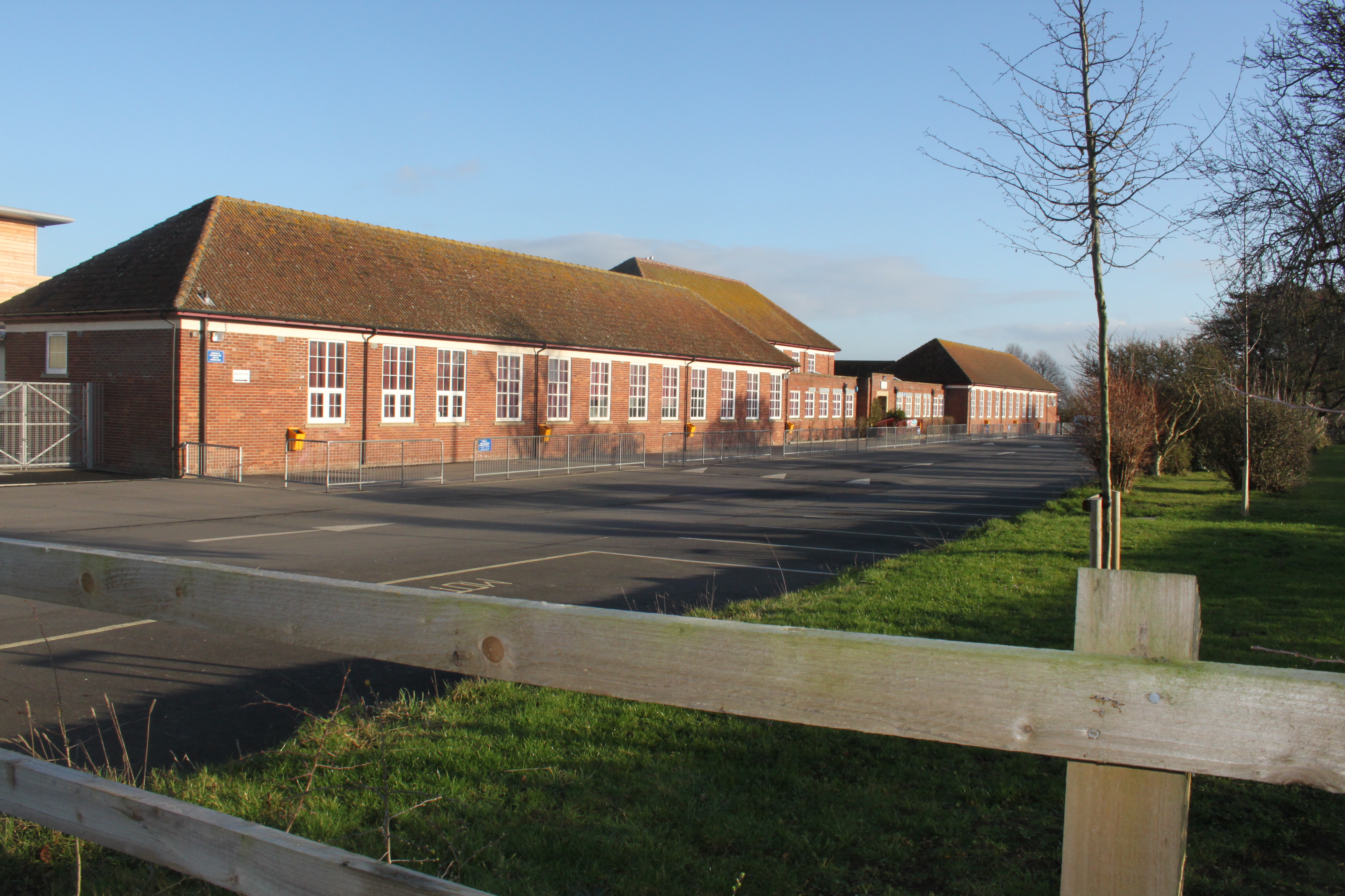
Garden City boasts a range of amenities to cater to its residents' needs. There is a local primary school, providing education for children in the village and surrounding areas. Additionally, the village has a small selection of shops, including a convenience store and a post office, ensuring that residents have access to essential goods and services.

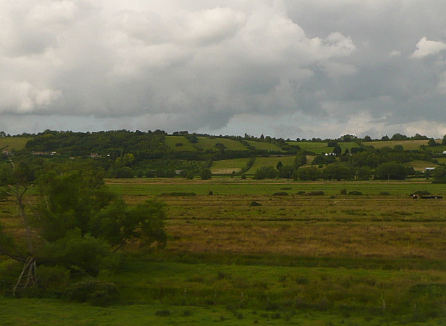
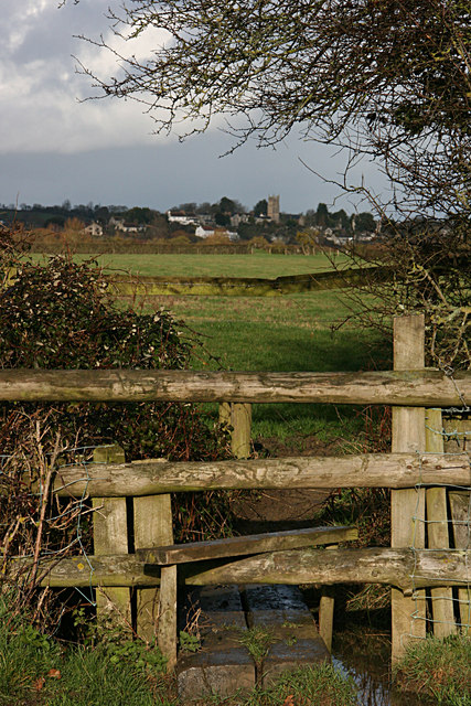
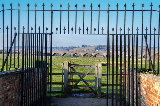
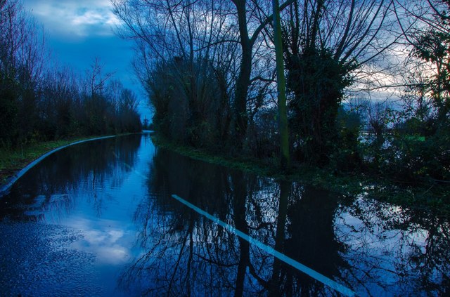
The surrounding countryside offers ample opportunities for outdoor activities, with numerous walking trails and nature reserves nearby. The Mendip Hills, designated as an Area of Outstanding Natural Beauty, provide stunning views and are popular with hikers, cyclists, and nature enthusiasts.

Overall, Garden City is a peaceful and picturesque village, offering a close community spirit and a beautiful natural environment. Its charming gardens and convenient amenities make it an attractive place to live or visit in Somerset.

If you have any feedback on the listing, please let us know in the comments section below.
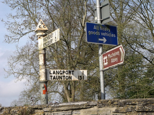
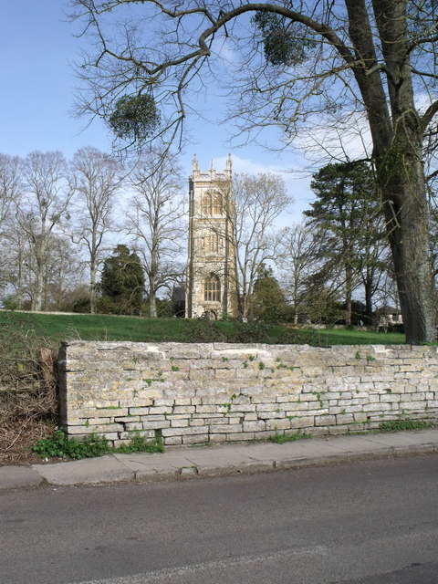
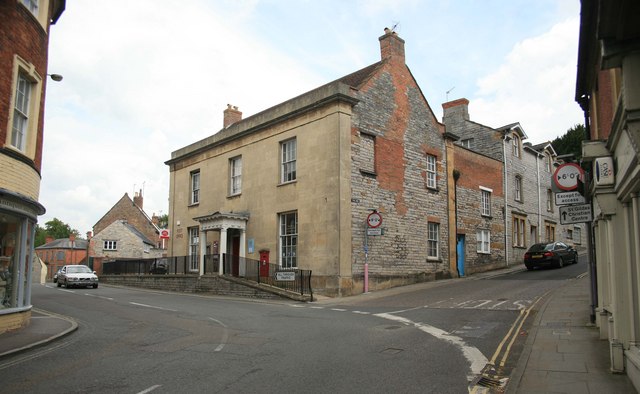
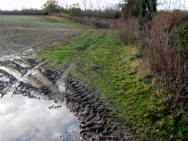
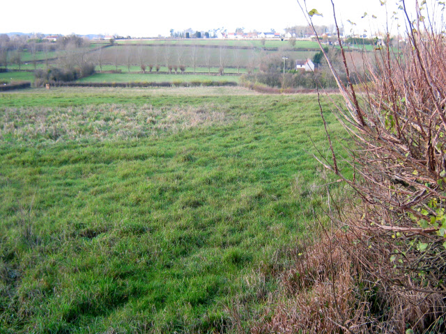
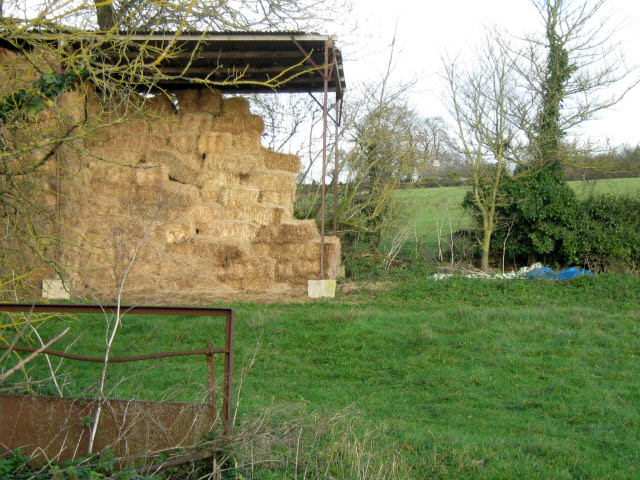
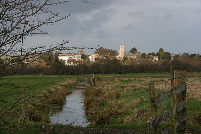
Garden City Images

Images are sourced within 2km of 51.042421/-2.8167134 or Grid Reference ST4227. Thanks to Geograph Open Source API. All images are credited.

Signposts, Huish Episcopi, Somerset
St. Mary's, Huish Episcopi, Somerset
The Post Office at Langport
Poolmead An area of what looks like particularly wet and poor quality pasture to the north-west of Langport, despite the many drainage ditches.  On the map this has almost a paddy field quality.
This photo was taken from the 1158 Penzance to London Paddington train, having left Taunton at 1529.
Poolmead
An area of what looks like particularly wet and poor quality pasture to the north-west of Langport, despite the many drainage ditches. On the map this has almost a paddy field quality. This photo was taken from the 1158 Penzance to London Paddington train, having left Taunton at 1529.
Muddy field near Upton
Field edge near Upton
Barn near Upton
Barn near Upton
Langport across Huish Level
Huish Level, Langport
Langport from the footpath to Drayton
Langport: Bow Street
Langport: View across Little Moor towards the Viaduct
Langport: Bow Street
Langport Telephone Exchange Situated in Old Market Square off the A378 North Street, this modern TE would have replaced a smaller building from the GPO era during the early 1970s. Besides Langport, this TE also serves Aller, Bramwell, Curry Rivel, Drayton, Henley, High Ham, Huish Episcopi, Low Ham, Muchelney, Pibsbury, Pitney and Wearne nearby. This TE has (01458) 25xxxx numbers, the (01458) referring to the Glastonbury group of TEs, and its postcode is TA10 9RP.
Langport Telephone Exchange
Situated in Old Market Square off the A378 North Street, this modern TE would have replaced a smaller building from the GPO era during the early 1970s. Besides Langport, this TE also serves Aller, Bramwell, Curry Rivel, Drayton, Henley, High Ham, Huish Episcopi, Low Ham, Muchelney, Pibsbury, Pitney and Wearne nearby. This TE has (01458) 25xxxx numbers, the (01458) referring to the Glastonbury group of TEs, and its postcode is TA10 9RP.
High Ham: Paradise Mill Watermill, disused, in a parish which in earlier centuries had several windmills. With miller's cottage attached. Paradise Mill may have served the villagers of nearby Wearne
High Ham: Paradise Mill
Watermill, disused, in a parish which in earlier centuries had several windmills. With miller's cottage attached. Paradise Mill may have served the villagers of nearby Wearne
Langport: Road from Langport during the Floods
Eli's or the Rose and Crown Huish Episcopi Built in the 17C the pub has been in the same family for 120 years. 
For the history please see <span class="nowrap"><a title="http://www.huishepiscopi.org.uk/business-services/food-and-drink/107-rose-a-crown" rel="nofollow ugc noopener" href="http://www.huishepiscopi.org.uk/business-services/food-and-drink/107-rose-a-crown">Link</a><img style="margin-left:2px;" alt="External link" title="External link - shift click to open in new window" src="https://s1.geograph.org.uk/img/external.png" width="10" height="10"/></span>

The tree behind the pub in the other photographs has disappeared!
Eli's or the Rose and Crown Huish Episcopi
Built in the 17C the pub has been in the same family for 120 years. For the history please see LinkExternal link The tree behind the pub in the other photographs has disappeared!
The Town Hall, Langport
Show me another place!

Garden City is located at Grid Ref: ST4227 (Lat: 51.042421, Lng: -2.8167134)

Administrative County: Somerset

District: South Somerset

Police Authority: Avon and Somerset

What 3 Words

///scream.peanut.bathtubs. Near Langport, Somerset

Nearby Locations

Newtown Garden City

Related Wikis

Langport Railway Cutting

Langport Railway Cutting (grid reference ST427272) is a 0.5 hectare geological Site of Special Scientific Interest at Langport in Somerset, England, notified...

Huish Episcopi Academy

Huish Episcopi Academy is a coeducational secondary school located in Huish Episcopi near Langport, Somerset, England. The school has a specialist status...

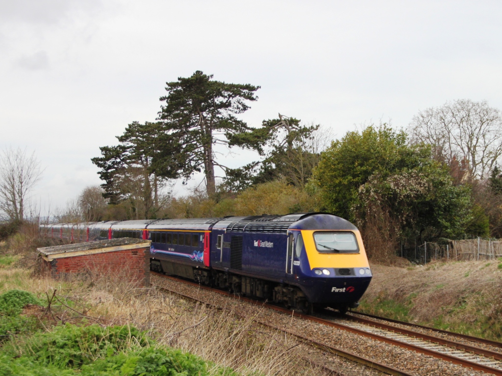
Langport East railway station

Langport East was a railway station situated in Langport in Somerset. The station also served Huish Episcopi. The station was on the Langport and Castle...

Church of the Blessed Virgin Mary, Huish Episcopi

The Church of the Blessed Virgin Mary in Huish Episcopi, Somerset, England has 12th-century origins, but was largely rebuilt in the 14th, 15th and 16th...

Church of All Saints, Langport

The Church of All Saints in Langport, Somerset, England, has 12th-century origins but was rebuilt in the late 15th century. It is recorded in the National...

Langport Rural District

Langport was a rural district in Somerset, England, from 1894 to 1974. It was created in 1894 under the Local Government Act 1894. In 1974 it was abolished...
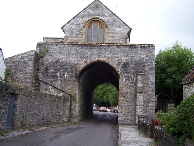
The Hanging Chapel

The Hanging Chapel (more formally known as the Chantry Chapel of the Blessed Virgin Mary) in Langport, Somerset, England is a 13th-century archway, bearing...

Huish Episcopi

Huish Episcopi is a village and civil parish in Somerset, England, situated on the outskirts of Langport, 4 miles (6.4 km) south west of Somerton. The...

Nearby Amenities

Located within 500m of 51.042421,-2.8167134
Turning Circle
Lat/Long: 51.0428937/-2.8152973
Turning Circle
Lat/Long: 51.0445499/-2.8144844
Cafe
Corks @ Kkelways
Opening Hours: Mo-Sa 09:30-16:30, Su 10:00-16:00
Website: https://www.kelways.co.uk/about-us/136-corks-kelways-
Lat/Long: 51.0444977/-2.8124635
Barrier: bollard
Lat/Long: 51.0421509/-2.8192927
Give Way
Lat/Long: 51.0416878/-2.8193128
Give Way
Lat/Long: 51.0421371/-2.8190926
Give Way
Lat/Long: 51.0432538/-2.8219468
Kelways Plants Ltd
Addr City: Langport
Addr Postcode: TA10 9EZ
Addr Street: Picts Hill
Email: sales@kelways.co.uk
Phone: +44 7874 628035
Shop: garden_centre
Website: https://www.kelways.co.uk/
Lat/Long: 51.0446182/-2.8123709
Power: pole
Lat/Long: 51.0416119/-2.8159768
Power: pole
Lat/Long: 51.0417073/-2.8144868
Power: pole
Lat/Long: 51.0417941/-2.8131773
Power: pole
Lat/Long: 51.0418875/-2.8117121
Power: pole
Lat/Long: 51.0419454/-2.81076
Power: pole
Lat/Long: 51.0419944/-2.8099071
Crossing: unmarked
Railway: crossing
Lat/Long: 51.0409479/-2.8151032
Crossing: unmarked
Railway: crossing
Lat/Long: 51.0409155/-2.8151158
Generator Method: photovoltaic
Generator Output Electricity: yes
Generator Source: solar
Generator Type: solar_photovoltaic_panel
Location: roof
Power: generator
Lat/Long: 51.0425424/-2.8161827
Generator Method: photovoltaic
Generator Output Electricity: yes
Generator Source: solar
Generator Type: solar_photovoltaic_panel
Location: roof
Power: generator
Lat/Long: 51.0426402/-2.8166923
Generator Method: photovoltaic
Generator Output Electricity: yes
Generator Source: solar
Generator Type: solar_photovoltaic_panel
Location: roof
Power: generator
Lat/Long: 51.0427245/-2.8165716
Generator Method: photovoltaic
Generator Output Electricity: yes
Generator Source: solar
Generator Type: solar_photovoltaic_panel
Location: roof
Power: generator
Lat/Long: 51.0433485/-2.8158715
Generator Method: photovoltaic
Generator Output Electricity: yes
Generator Source: solar
Generator Type: solar_photovoltaic_panel
Location: roof
Power: generator
Lat/Long: 51.0444075/-2.8150937
Generator Method: photovoltaic
Generator Output Electricity: yes
Generator Source: solar
Generator Type: solar_photovoltaic_panel
Location: roof
Power: generator
Lat/Long: 51.0446301/-2.815724
Generator Method: photovoltaic
Generator Output Electricity: yes
Generator Source: solar
Generator Type: solar_photovoltaic_panel
Location: roof
Power: generator
Lat/Long: 51.0444783/-2.8167245
Generator Method: photovoltaic
Generator Output Electricity: yes
Generator Source: solar
Generator Type: solar_photovoltaic_panel
Location: roof
Power: generator
Lat/Long: 51.0422085/-2.8183311
Generator Method: photovoltaic
Generator Output Electricity: yes
Generator Source: solar
Generator Type: solar_photovoltaic_panel
Location: roof
Power: generator
Lat/Long: 51.0422152/-2.8179261
Generator Method: photovoltaic
Generator Output Electricity: yes
Generator Source: solar
Generator Type: solar_photovoltaic_panel
Location: roof
Power: generator
Lat/Long: 51.0412168/-2.8181192
Generator Method: photovoltaic
Generator Output Electricity: yes
Generator Source: solar
Generator Type: solar_photovoltaic_panel
Location: roof
Power: generator
Lat/Long: 51.0393296/-2.8184491
Generator Method: photovoltaic
Generator Output Electricity: yes
Generator Source: solar
Generator Type: solar_photovoltaic_panel
Location: roof
Power: generator
Lat/Long: 51.0388844/-2.8201738
Generator Method: photovoltaic
Generator Output Electricity: yes
Generator Source: solar
Generator Type: solar_photovoltaic_panel
Location: roof
Power: generator
Lat/Long: 51.0390277/-2.8209329
Generator Method: photovoltaic
Generator Output Electricity: yes
Generator Source: solar
Generator Type: solar_photovoltaic_panel
Location: roof
Power: generator
Lat/Long: 51.0398558/-2.8218958
Turning Circle
Lat/Long: 51.0445546/-2.8157493
Post Box
Brand: Post Office
Brand Wikidata: Q1783168
Operator: Post Office
Operator Wikidata: Q1783168
Lat/Long: 51.0432591/-2.8218519
Shires Garage
Service: repair
Shop: car_repair
Source: video_survey
Lat/Long: 51.0425086/-2.8236459
Generator Method: thermal
Generator Source: solar
Generator Type: solar_thermal_collector
Power: generator
Source: video_survey
Lat/Long: 51.0426199/-2.823489
Generator Method: thermal
Generator Source: solar
Generator Type: solar_thermal_collector
Power: generator
Source: video_survey
Lat/Long: 51.0426031/-2.8235319
The data included in this document is from www.openstreetmap.org. The data is made available under ODbL.

Have you been to Garden City?

Leave your review of Garden City below (or comments, questions and feedback).