Newtown
Settlement in Somerset South Somerset
England
Newtown
Newtown is a small village located in the county of Somerset, England. Situated near the coast, it lies about 9 miles to the southwest of the town of Bridgwater. With a population of around 500 residents, Newtown exudes a peaceful and close-knit community atmosphere that attracts both locals and visitors alike.
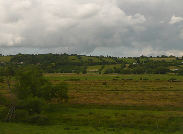
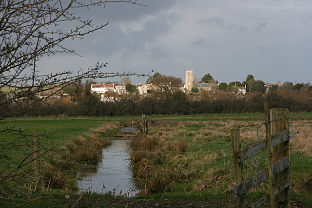
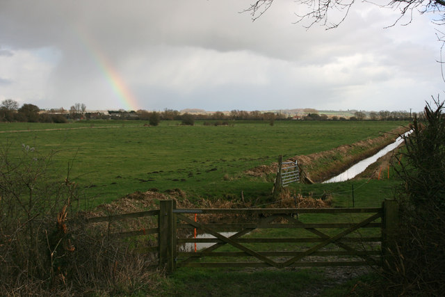
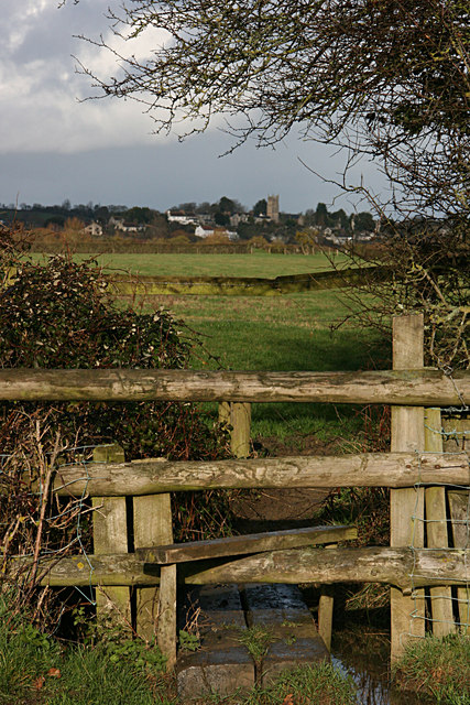
The village is surrounded by picturesque countryside, characterized by rolling hills, lush green fields, and charming country lanes. Its idyllic setting offers residents and visitors ample opportunities for outdoor activities such as walking, cycling, and horse riding.
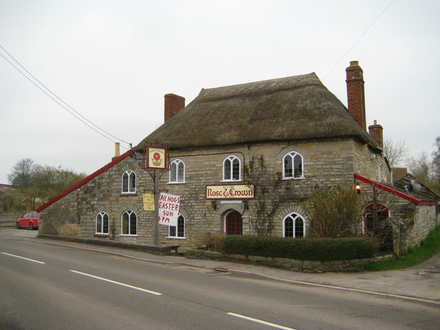
Despite its small size, Newtown boasts a number of amenities that cater to the needs of its residents. These include a local shop, a village hall, a primary school, and a pub, which serves as a social hub for the community. Additionally, the village is served by public transportation, providing convenient access to the nearby towns and cities.
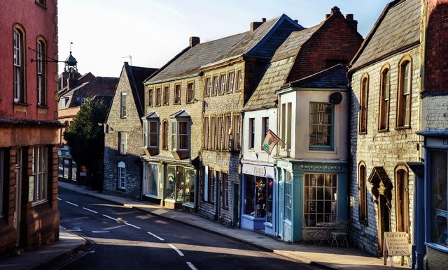
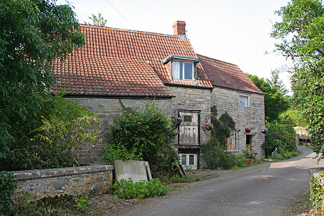
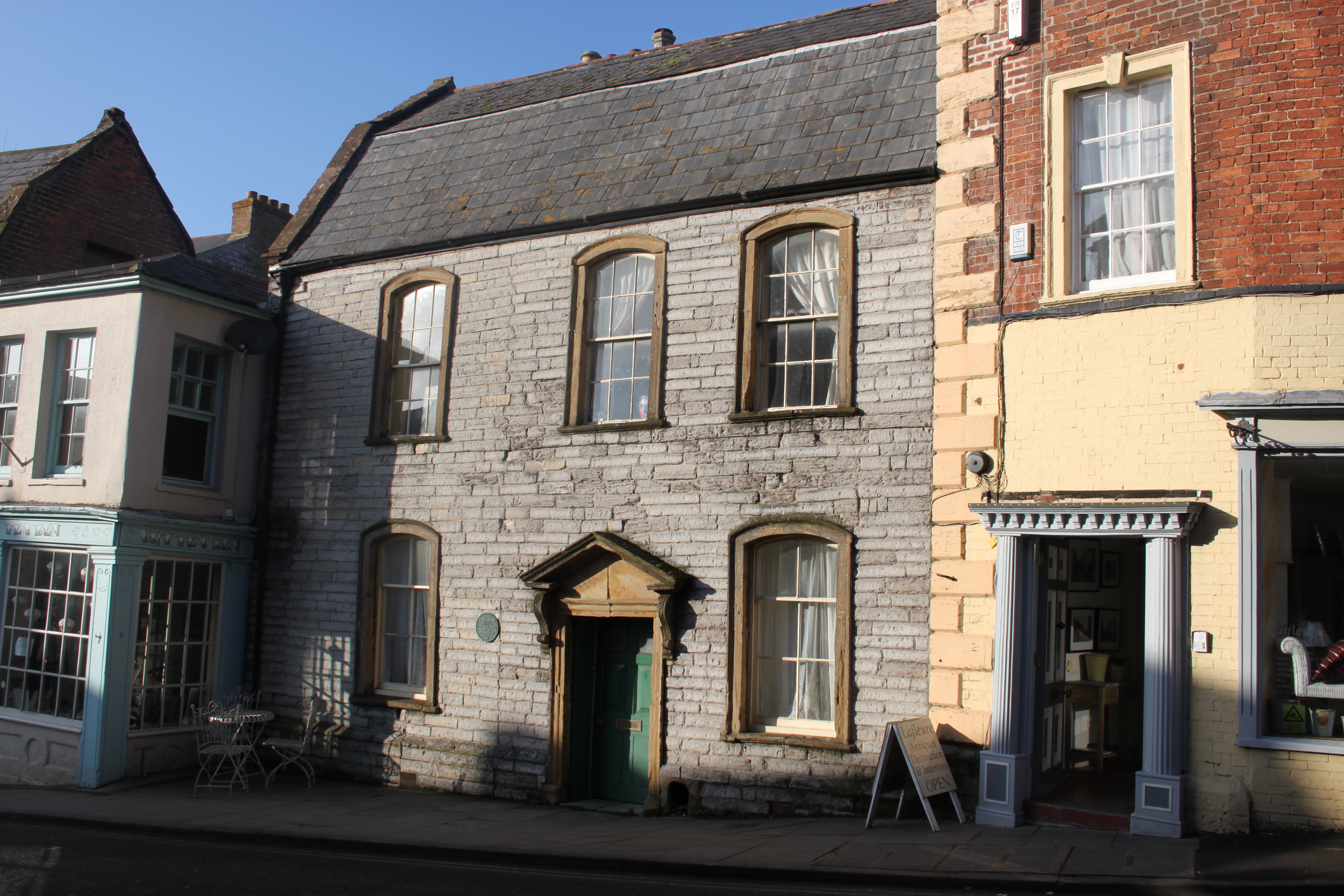
Newtown is also known for its historical significance. The village features a number of well-preserved buildings that date back several centuries, showcasing a blend of architectural styles from different eras. These include traditional thatched cottages, medieval churches, and Georgian townhouses.
Throughout the year, Newtown hosts various events and festivals that celebrate its heritage and community spirit. These include summer fairs, music concerts, and Christmas markets, which bring together residents and visitors in a lively and festive atmosphere.
In conclusion, Newtown, Somerset is a charming village that offers a tranquil countryside setting, a strong sense of community, and a rich historical heritage. It is a place where residents can enjoy a relaxed and peaceful way of life, surrounded by natural beauty and a warm community spirit.
If you have any feedback on the listing, please let us know in the comments section below.
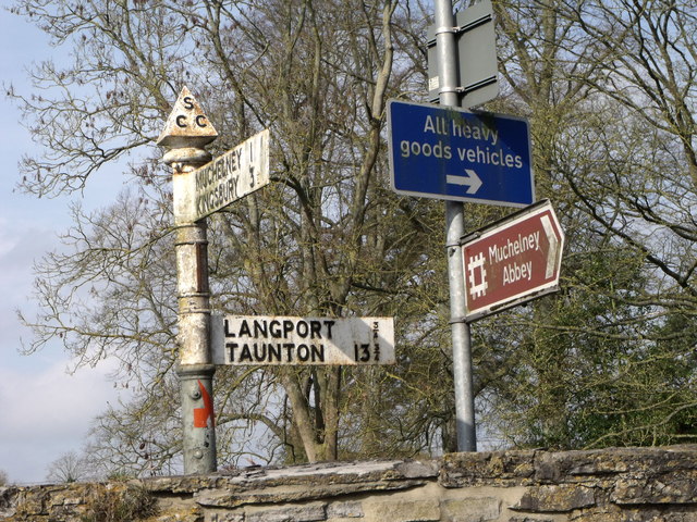
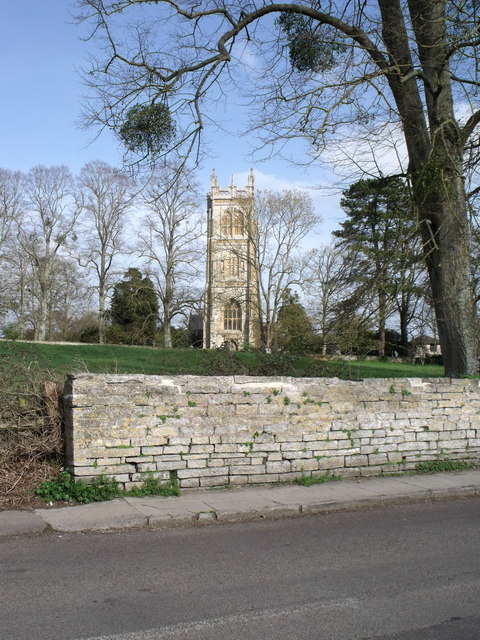
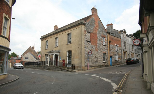
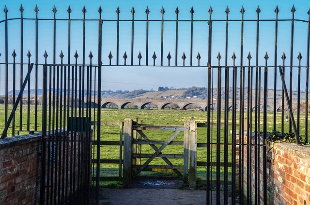
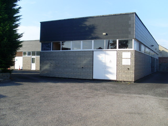
Newtown Images
Images are sourced within 2km of 51.045602/-2.8234596 or Grid Reference ST4227. Thanks to Geograph Open Source API. All images are credited.


Newtown is located at Grid Ref: ST4227 (Lat: 51.045602, Lng: -2.8234596)
Administrative County: Somerset
District: South Somerset
Police Authority: Avon and Somerset
What 3 Words
///kind.thinnest.sinkhole. Near Langport, Somerset
Nearby Locations
Related Wikis
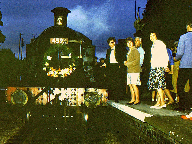
Langport East railway station
Langport East was a railway station situated in Langport in Somerset. The station also served Huish Episcopi. The station was on the Langport and Castle...

Langport Railway Cutting
Langport Railway Cutting (grid reference ST427272) is a 0.5 hectare geological Site of Special Scientific Interest at Langport in Somerset, England, notified...

Langport Rural District
Langport was a rural district in Somerset, England, from 1894 to 1974. It was created in 1894 under the Local Government Act 1894. In 1974 it was abolished...

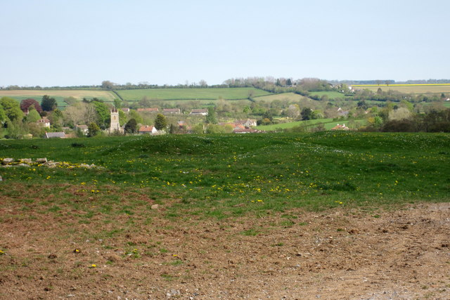
Langport
Langport is a town and civil parish in Somerset, England, 5 miles (8 km) west of Somerton. The parish, which covers only part of the town, has a population...
Tudor House, Langport
The Tudor House is an 18th-century house in Langport, Somerset, England. It was built in 1776 but had fallen into disrepair until it was bought and restored...

Church of All Saints, Langport
The Church of All Saints in Langport, Somerset, England, has 12th-century origins but was rebuilt in the late 15th century. It is recorded in the National...
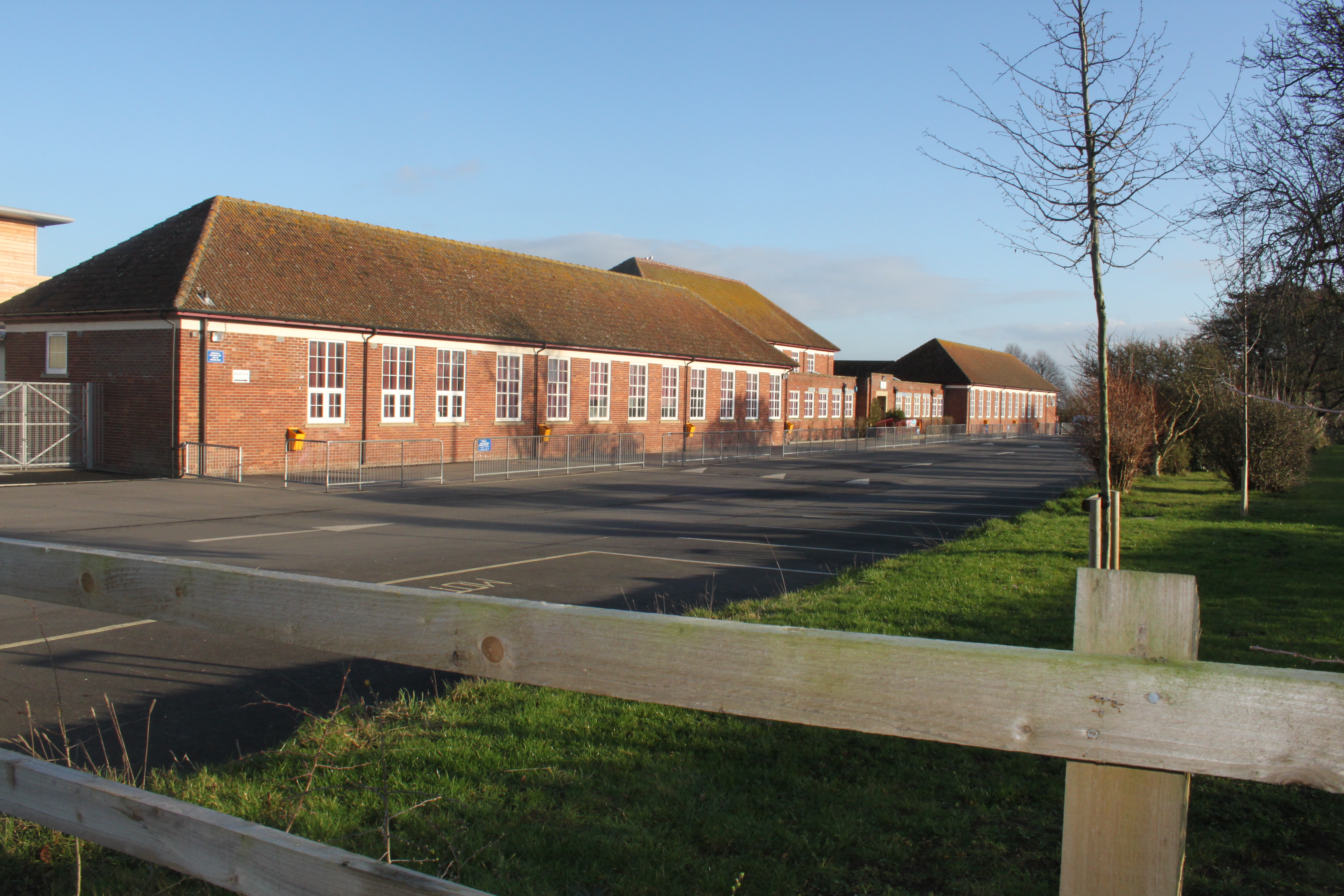
Huish Episcopi Academy
Huish Episcopi Academy is a coeducational secondary school located in Huish Episcopi near Langport, Somerset, England. The school has a specialist status...

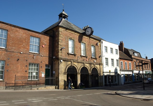
Langport Town Hall
Langport Town Hall is a municipal building in Bow Street in Langport, Somerset, England. The building, which is the meeting place of Langport Town Council...
Nearby Amenities
Located within 500m of 51.045602,-2.8234596Have you been to Newtown?
Leave your review of Newtown below (or comments, questions and feedback).