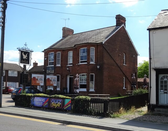
Galley's Corner
Settlement in Essex Braintree
England
Galley's Corner
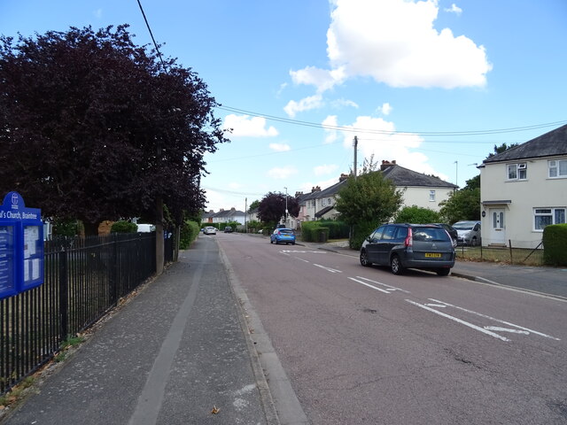
Galley's Corner is a small village located in the county of Essex, England. Situated in the Tendring district, it is nestled between the larger towns of Clacton-on-Sea and Colchester. The village has a population of around 500 residents and is known for its picturesque countryside and tranquil atmosphere.
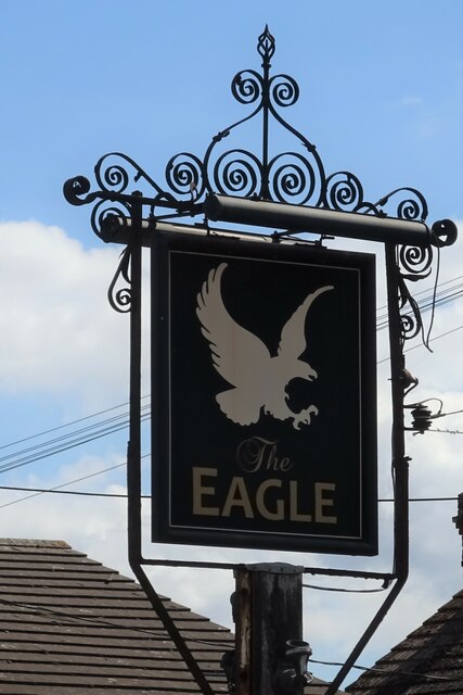
The name "Galley's Corner" is believed to have originated from the historical presence of a galleon-shaped signpost that once stood at the village crossroads. Over time, the signpost was replaced, but the name stuck, becoming ingrained in the local identity.
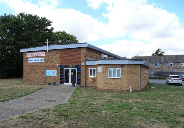
Despite its small size, Galley's Corner boasts a close-knit community that takes pride in its rich heritage. The village is home to a Grade II listed church, St. Mary's Church, which dates back to the 12th century. The church serves as a focal point for religious and community events.
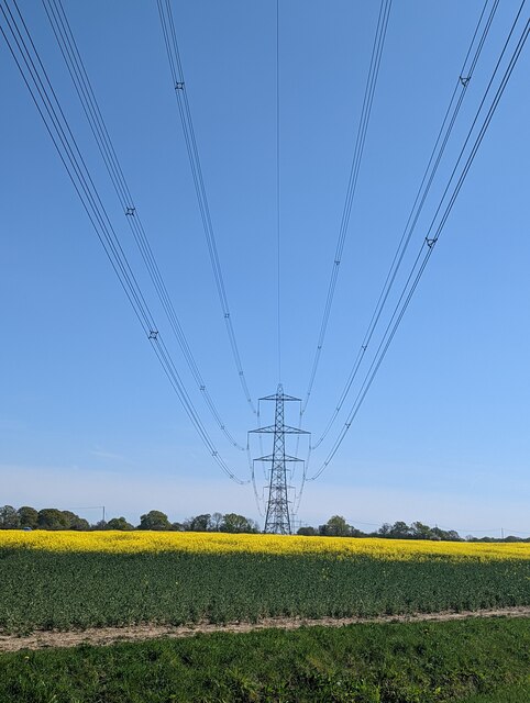
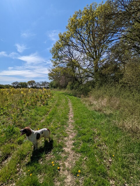
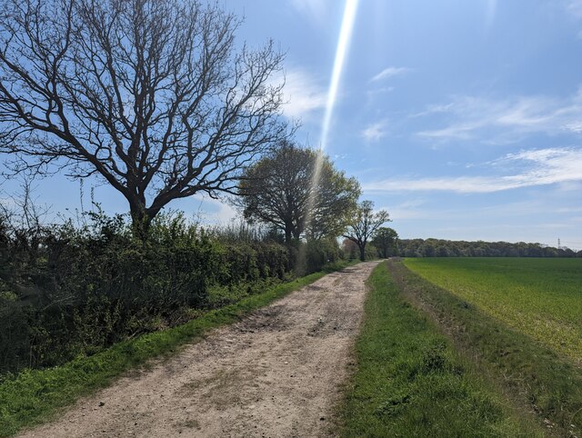
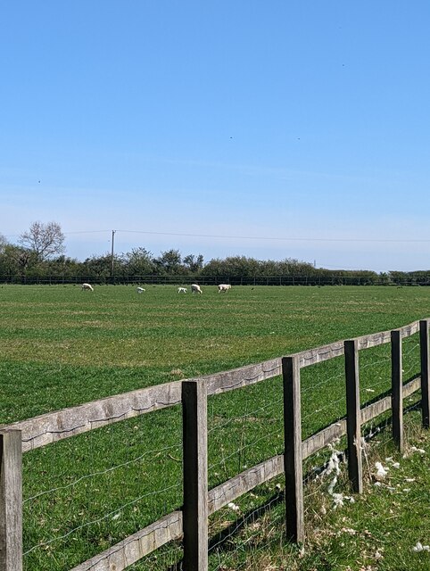
Surrounded by lush green fields and farmland, Galley's Corner is an ideal location for nature enthusiasts and outdoor enthusiasts alike. The village offers plenty of opportunities for walking, cycling, and birdwatching, with several designated trails and paths to explore.
Although Galley's Corner lacks commercial amenities, it is within easy reach of nearby towns and villages that provide essential services and facilities. The village benefits from excellent transport links, with regular bus services connecting it to Clacton-on-Sea, Colchester, and other surrounding areas.
In conclusion, Galley's Corner is a charming village in Essex, characterized by its idyllic countryside, strong community spirit, and convenient access to larger towns. It offers a peaceful retreat for those seeking a slower pace of life amidst picturesque surroundings.
If you have any feedback on the listing, please let us know in the comments section below.
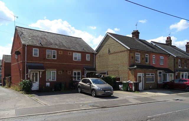
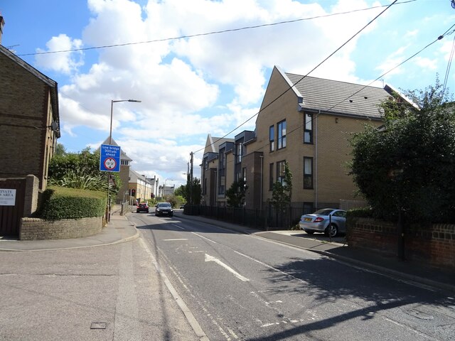
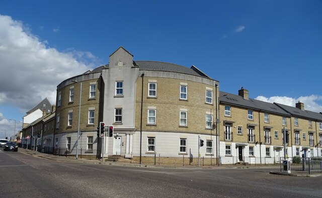
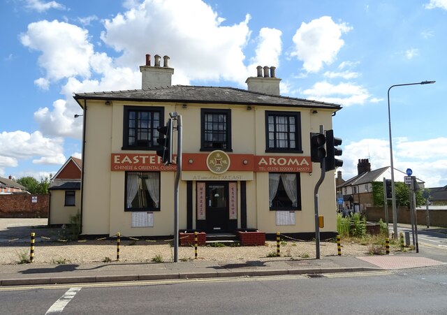
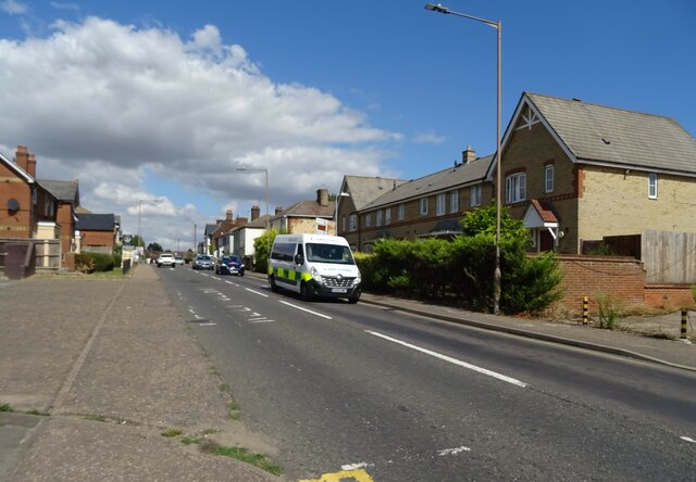
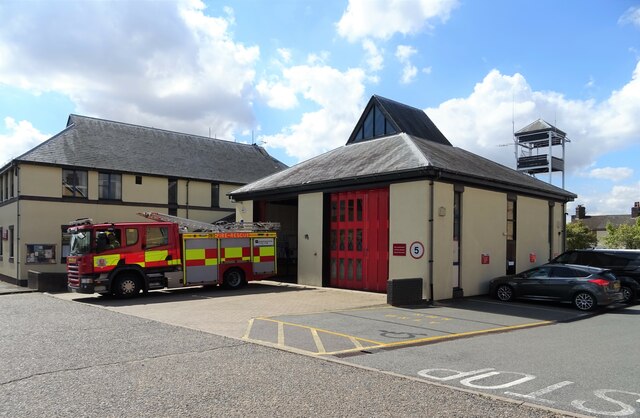
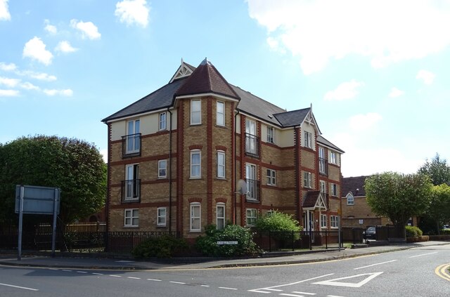
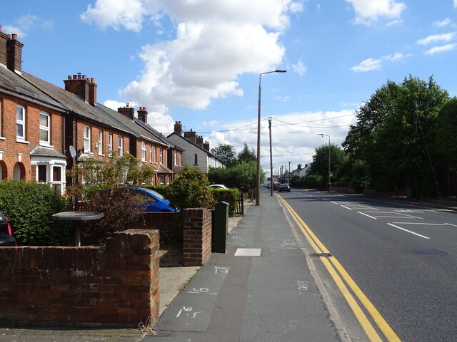
Galley's Corner Images
Images are sourced within 2km of 51.868631/0.58160974 or Grid Reference TL7722. Thanks to Geograph Open Source API. All images are credited.
Galley's Corner is located at Grid Ref: TL7722 (Lat: 51.868631, Lng: 0.58160974)
Administrative County: Essex
District: Braintree
Police Authority: Essex
What 3 Words
///users.grudge.clearly. Near Rayne, Essex
Nearby Locations
Related Wikis

Alec Hunter Academy
Alec Hunter Academy (formerly The Alec Hunter County Secondary School for Boys and Girls, Alec Hunter Comprehensive School, Alec Hunter High School and...
Cressing Road
Cressing Road, also known as the Rare Breed Meat Co. Stadium for sponsorship purposes, is a football stadium in Braintree, Essex, and the home ground of...
Tye Green
Tye Green is a village in the civil parish of Cressing and the Braintree district of Essex, England. In 2018, it had an estimated population of 1,114....
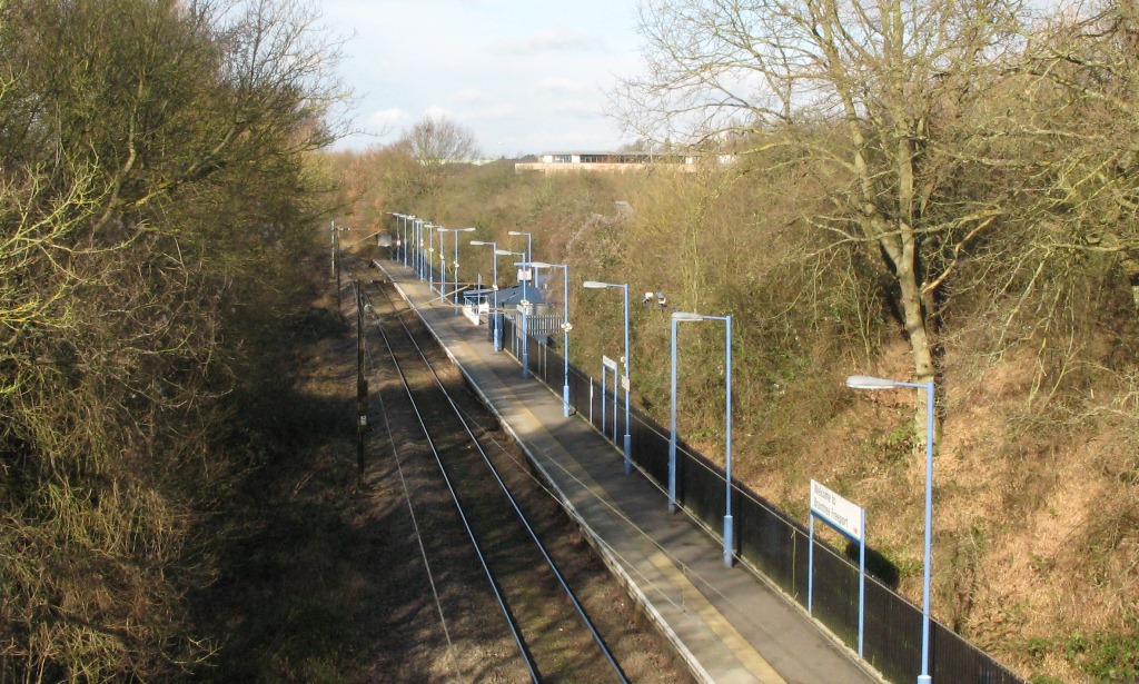
Braintree Freeport railway station
Braintree Freeport railway station is on the Braintree Branch Line in the East of England, serving the Braintree Village shopping centre (formerly known...
Related Videos

WALKING AROUND BRAINTREE FREEPORT
join me as i wall around braintree freeport, a factory oulet, discount shops. leave thumbs up if yu like the video. please sunscribe ...


Evening walk through the woods//walking alone//scared//England//beautiful
eveningwalk #beautifulplace #houses #garden #countryside #boat #englandisabeauty @anishmurugan3179.

What's Braintree Like #Shorts (Travel Reels)
Here is a quick video answering the question what is Braintree like? When I say Braintree it is referring to the town in Essex ...
Nearby Amenities
Located within 500m of 51.868631,0.58160974Have you been to Galley's Corner?
Leave your review of Galley's Corner below (or comments, questions and feedback).