Galllowfauld

Settlement in Angus

Scotland

Galllowfauld

North and southbound lanes separate more widely here Looking southbound on the A90.
North and southbound lanes separate more widely here Credit: C Michael Hogan

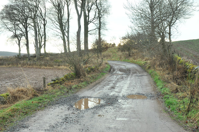
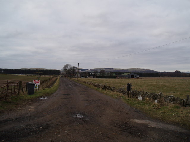
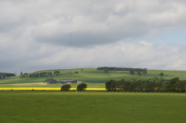
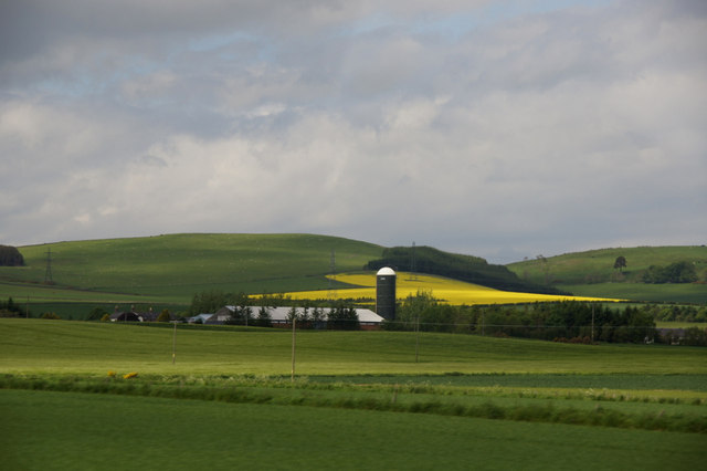
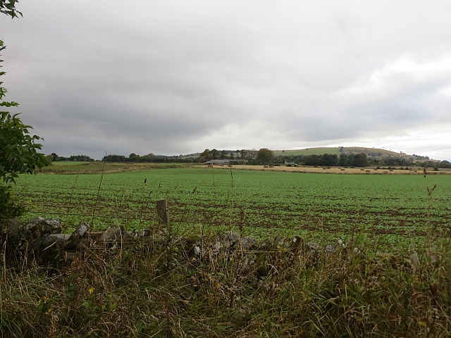
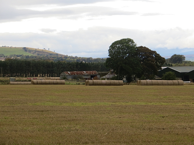
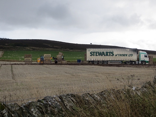
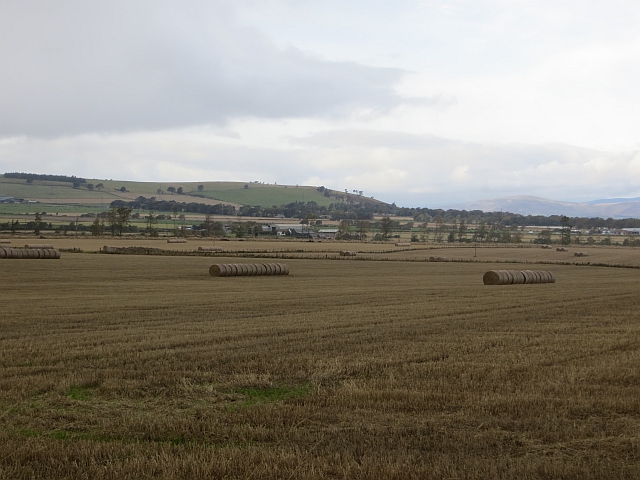
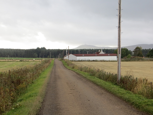
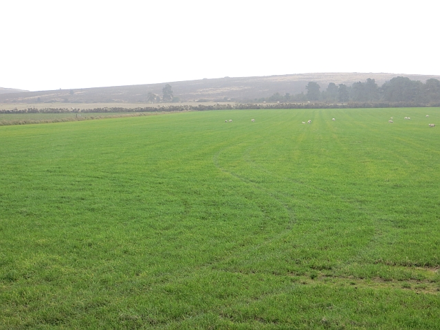
Gallowfauld is a small rural hamlet located in the county of Angus, Scotland. Situated near the town of Forfar, Gallowfauld is known for its picturesque countryside views and peaceful atmosphere. The hamlet is surrounded by rolling hills and farmland, making it an ideal destination for those seeking a relaxing retreat away from the hustle and bustle of city life.

Gallowfauld is home to a small community of residents who take pride in their close-knit relationships and strong sense of community spirit. The hamlet features a scattering of traditional stone cottages and farmhouses, adding to its quaint and charming appeal.

The surrounding area offers plenty of opportunities for outdoor activities such as hiking, cycling, and birdwatching. Visitors to Gallowfauld can also explore nearby attractions such as Glamis Castle, the historic home of the Earls of Strathmore and Kinghorne.

Overall, Gallowfauld is a peaceful and idyllic destination for those looking to experience the beauty of the Scottish countryside and immerse themselves in a traditional rural way of life.

If you have any feedback on the listing, please let us know in the comments section below.
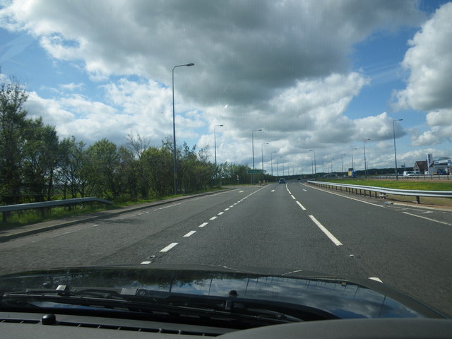
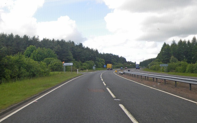
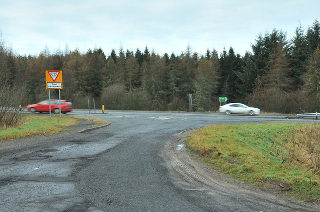
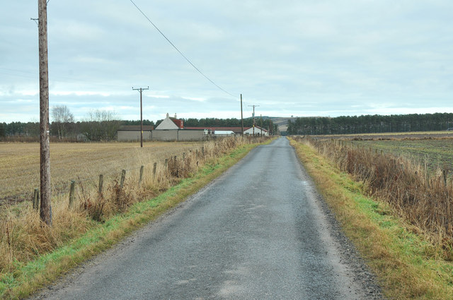
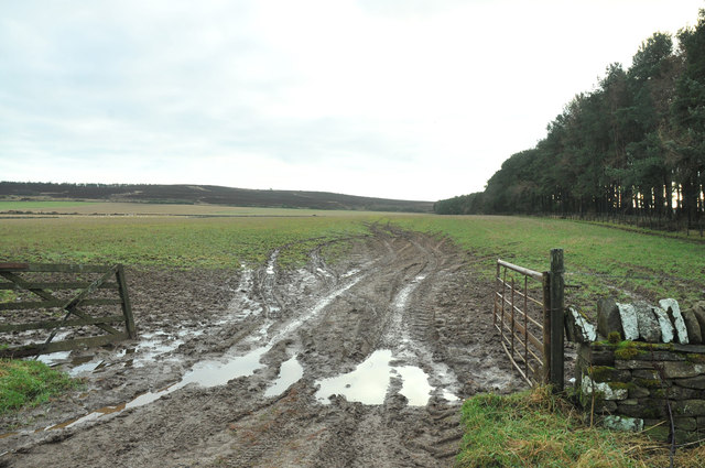
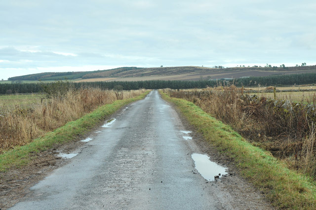
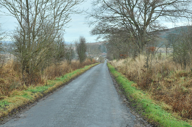
Galllowfauld Images

Images are sourced within 2km of 56.5688/-2.916634 or Grid Reference NO4342. Thanks to Geograph Open Source API. All images are credited.

North and southbound lanes separate more widely here Looking southbound on the A90.
North and southbound lanes separate more widely here
Looking southbound on the A90.
Turnoff to Happas through the woods Photographer is looking southbound on A90.
Turnoff to Happas through the woods
Photographer is looking southbound on A90.
Road junction near Happas
Farmland at Happas
Farmland at Happas
Minor road at Happas
Farmland near Happas
Minor road near Happas
Minor road near Inverarity
Farm road to Bonnyton
Newton Farm
Newton Farm
View west from the A90 at Gallowfauld Looking towards the farm at Govals.
View west from the A90 at Gallowfauld
Looking towards the farm at Govals.
View to Nether Finlarg, Gallowfauld
Arable land, New Grange The A90 is all too obvious by its noise here.
Arable land, New Grange
The A90 is all too obvious by its noise here.
Newton Round bales beside the farm buildings.
Newton
Round bales beside the farm buildings.
Stewarts of Tayside Lorry loading or unloading. Stewarts specialise in swedes and soft fruit.
Stewarts of Tayside
Lorry loading or unloading. Stewarts specialise in swedes and soft fruit.
Stubble, Happas North side of the Sidlaw Hills with a view across to the Mounth.
Stubble, Happas
North side of the Sidlaw Hills with a view across to the Mounth.
Narrow road at Happas
Field, Happas North side of the Sidlaw Hills
Field, Happas
North side of the Sidlaw Hills
Show me another place!

Galllowfauld is located at Grid Ref: NO4342 (Lat: 56.5688, Lng: -2.916634)

Unitary Authority: Angus

Police Authority: Tayside

What 3 Words

///resolves.likening.noun. Near Forfar, Angus

Nearby Locations

Gallowfauld Galllowfauld

Related Wikis

Gallowfauld

Gallowfauld is a hamlet in the county of Angus, Scotland. It lies 3.8 miles (6.1 km) south of Inverarity, Angus, Scotland. == References ==

Gateside, Angus

Gateside is a hamlet in the county of Angus, Scotland. It lies 7 miles south of Forfar on the A90 road. == References ==

Inverarity

Inverarity is a village in Angus, Scotland, UK, on the A90, 6 miles from Forfar, and 7 miles from Dundee. The nearest villages are Gateside, Invereighty...

Kincaldrum

Kincaldrum is a hamlet in the county of Angus, Scotland. It lies 1 km northwest of Gateside. Kincaldrum House lies in ruins. A corn mill once stood near...

Nearby Amenities

Located within 500m of 56.5688,-2.916634
Gallowfauld
Place: hamlet
Wikidata: Q18160223
Wikipedia: en:Gallowfauld
Lat/Long: 56.5694219/-2.9104062
North Tarbrax
Place: isolated_dwelling
Lat/Long: 56.569662/-2.9186093
Parking
Parking: layby
Lat/Long: 56.5662175/-2.9198449
Parking
Access: yes
Fee: no
Parking: layby
Lat/Long: 56.567069/-2.9188198
Material: wood
Power: pole
Lat/Long: 56.5727592/-2.9176824
Material: wood
Power: pole
Lat/Long: 56.5720186/-2.9181277
Power: pole
Lat/Long: 56.5713414/-2.9185521
Power: pole
Lat/Long: 56.5706975/-2.918964
Power: pole
Lat/Long: 56.5699373/-2.9194282
Power: pole
Lat/Long: 56.5691656/-2.9199007
Power: pole
Lat/Long: 56.5686357/-2.9202477
Power: pole
Lat/Long: 56.5680806/-2.9205843
Power: pole
Lat/Long: 56.5675864/-2.9208937
Power: pole
Lat/Long: 56.5670807/-2.9216276
Power: pole
Lat/Long: 56.5665151/-2.9224158
Power: pole
Lat/Long: 56.5719783/-2.9186504
Power: pole
Lat/Long: 56.5719495/-2.9190936
Power: pole
Lat/Long: 56.5719172/-2.9196017
Power: pole
Lat/Long: 56.5650787/-2.9205132
Power: pole
Lat/Long: 56.5650222/-2.919725
Power: pole
Lat/Long: 56.5649047/-2.9182448
Power: pole
Lat/Long: 56.564793/-2.9167792
Power: pole
Lat/Long: 56.5646755/-2.9153095
Power: pole
Lat/Long: 56.5653724/-2.915575
Power: pole
Lat/Long: 56.5660947/-2.9158426
Power: pole
Lat/Long: 56.5668204/-2.9161186
Power: pole
Lat/Long: 56.5673721/-2.9163506
Power: pole
Lat/Long: 56.5673434/-2.9156168
Power: pole
Lat/Long: 56.5678347/-2.9151486
Power: pole
Lat/Long: 56.568232/-2.9147701
Power: pole
Lat/Long: 56.5687734/-2.9142202
Power: pole
Lat/Long: 56.5693689/-2.9135867
Power: pole
Lat/Long: 56.5697133/-2.9120689
Power: pole
Lat/Long: 56.5698976/-2.9111406
Power: pole
Lat/Long: 56.5701452/-2.9099008
Power: pole
Lat/Long: 56.5703261/-2.9089809
The data included in this document is from www.openstreetmap.org. The data is made available under ODbL.

Have you been to Galllowfauld?

Leave your review of Galllowfauld below (or comments, questions and feedback).