Gallowfauld

Settlement in Angus

Scotland

Gallowfauld

Minor road enclosed by mature and young woodland Looking westward towards South Lodge and the A90.
Minor road enclosed by mature and young woodland Credit: Peter Wood

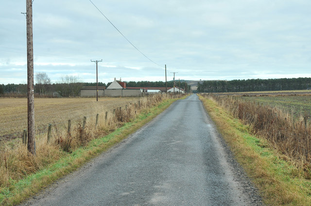
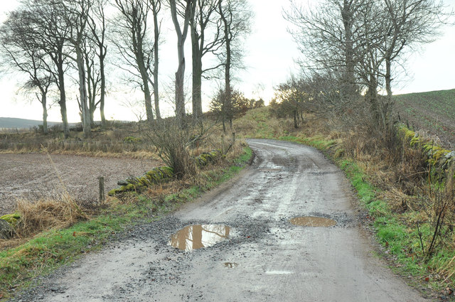
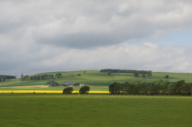
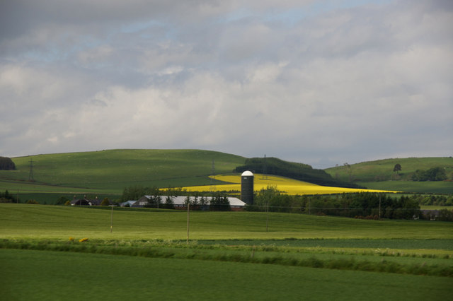
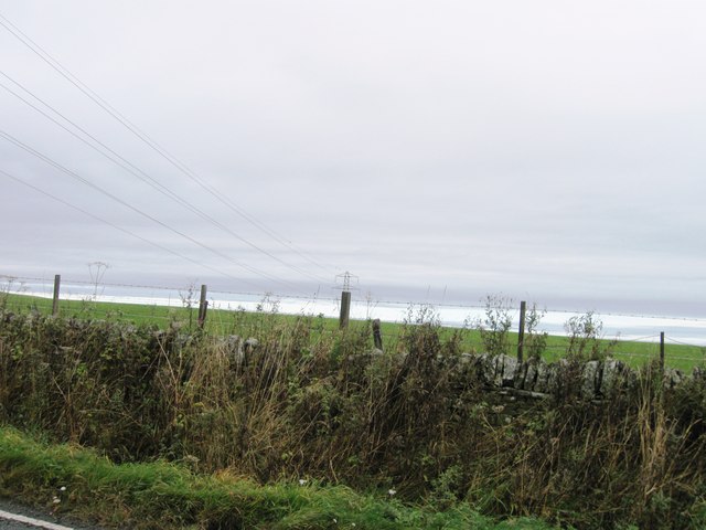
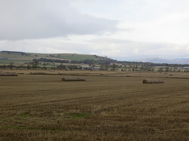
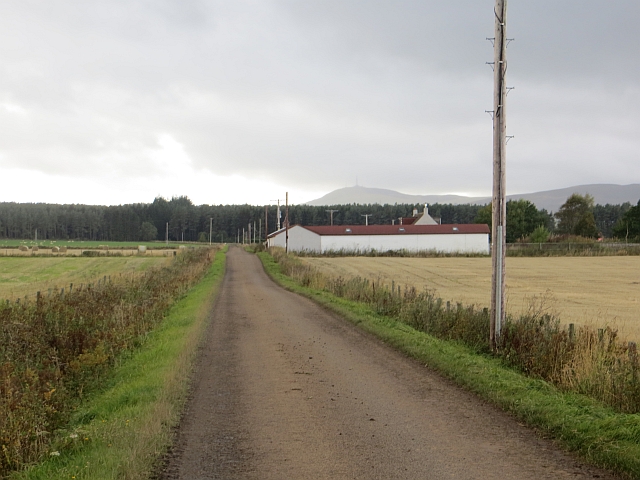
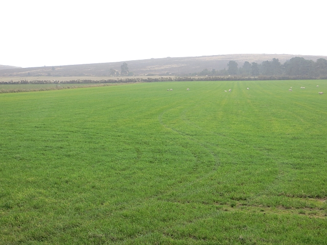
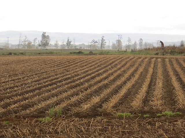
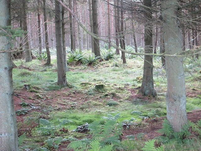
Gallowfauld is a small rural village located in the county of Angus, Scotland. Situated in the northeast part of the country, it is nestled amidst picturesque landscapes and rolling hills. The village is surrounded by lush green fields and farmland, which contribute to its serene and idyllic atmosphere.

Gallowfauld is a close-knit community with a population of around 200 residents. The village primarily consists of traditional stone houses, giving it a charming and authentic Scottish feel. The residents are known for their warm hospitality and strong community spirit.

Despite its small size, Gallowfauld offers a range of amenities to its residents. There is a local grocery store, a small primary school, and a community center that serves as a hub for social activities. The village also has a post office and a small pub, where locals and visitors can gather for a friendly drink.

The surrounding area of Gallowfauld is rich in natural beauty, making it popular among outdoor enthusiasts. There are several walking trails and cycle paths that allow residents to explore the stunning countryside. Additionally, the village is in proximity to the Angus Glens, providing opportunities for hiking, fishing, and birdwatching.

Gallowfauld is well-connected to nearby towns and cities, with good road links and public transportation options. It offers a peaceful and tranquil lifestyle for those seeking a retreat from the bustling city life.

If you have any feedback on the listing, please let us know in the comments section below.
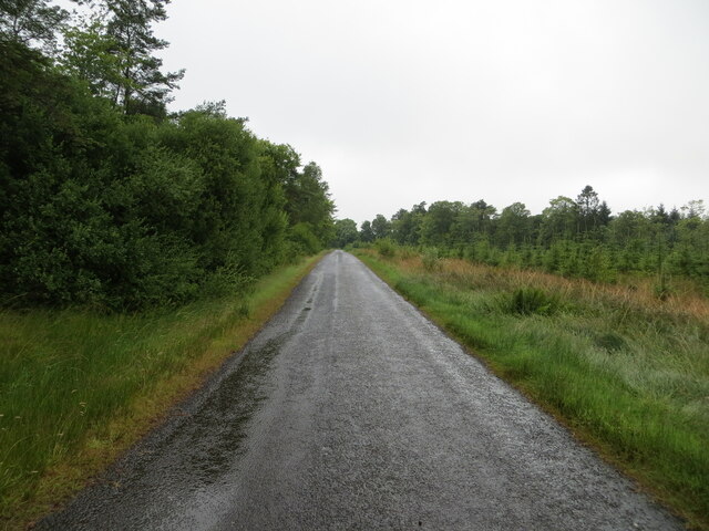
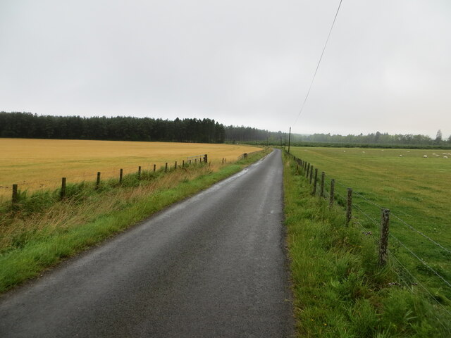
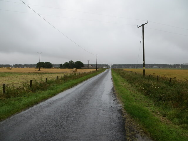
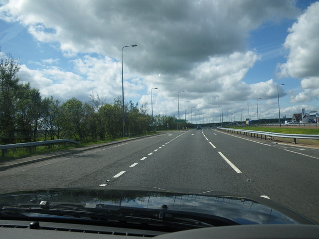
Gallowfauld Images

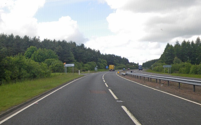
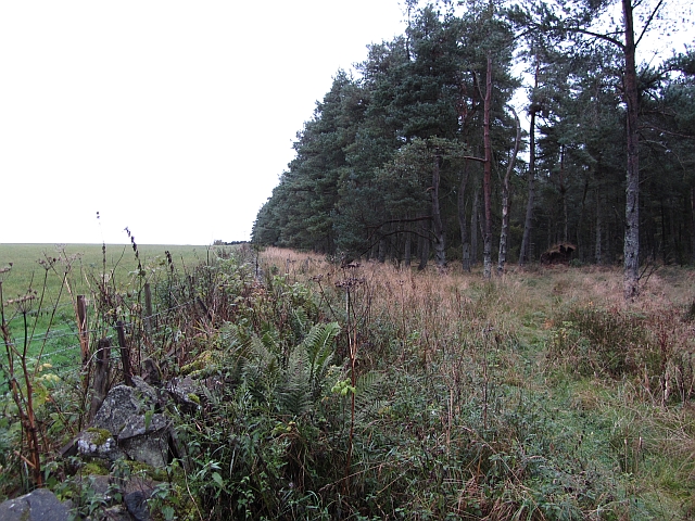
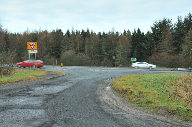
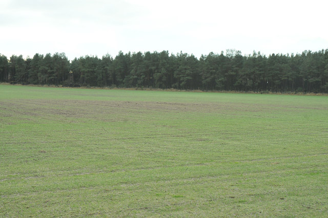
Images are sourced within 2km of 56.566479/-2.9291407 or Grid Reference NO4342. Thanks to Geograph Open Source API. All images are credited.

Minor road enclosed by mature and young woodland Looking westward towards South Lodge and the A90.
Minor road enclosed by mature and young woodland
Looking westward towards South Lodge and the A90.
Fence-lined minor road near to West Happas Looking south-westward.
Fence-lined minor road near to West Happas
Looking south-westward.
Fence-lined minor road near to North, South, East and West Happas Looking north-eastward.
Fence-lined minor road near to North, South, East and West Happas
Looking north-eastward.
North and southbound lanes separate more widely here Looking southbound on the A90.
North and southbound lanes separate more widely here
Looking southbound on the A90.
Turnoff to Happas through the woods Photographer is looking southbound on A90.
Turnoff to Happas through the woods
Photographer is looking southbound on A90.
Woodland edge An old overgrown dyke between a field and woodland in the Sidlaw Hills.
Woodland edge
An old overgrown dyke between a field and woodland in the Sidlaw Hills.
Road junction near Happas
Farmland at Happas
Farmland at Happas
Minor road at Happas
Farm road to Bonnyton
View west from the A90 at Gallowfauld Looking towards the farm at Govals.
View west from the A90 at Gallowfauld
Looking towards the farm at Govals.
View to Nether Finlarg, Gallowfauld
Electricity transmission line
Stubble, Happas North side of the Sidlaw Hills with a view across to the Mounth.
Stubble, Happas
North side of the Sidlaw Hills with a view across to the Mounth.
Narrow road at Happas
Field, Happas North side of the Sidlaw Hills
Field, Happas
North side of the Sidlaw Hills
Potato field Potatoes, now defoliated, await lifting near West Happas.
Potato field
Potatoes, now defoliated, await lifting near West Happas.
Woodland near Happas A large conifer plantation on the north side of the Sidlaw Hills.
Woodland near Happas
A large conifer plantation on the north side of the Sidlaw Hills.
Show me another place!

Gallowfauld is located at Grid Ref: NO4342 (Lat: 56.566479, Lng: -2.9291407)

Unitary Authority: Angus

Police Authority: Tayside

What 3 Words

///typified.privately.perusing. Near Forfar, Angus

Nearby Locations

Gallowfauld Galllowfauld

Related Wikis

Gallowfauld

Gallowfauld is a hamlet in the county of Angus, Scotland. It lies 3.8 miles (6.1 km) south of Inverarity, Angus, Scotland. == References ==

Gateside, Angus

Gateside is a hamlet in the county of Angus, Scotland. It lies 7 miles south of Forfar on the A90 road. == References ==

Kincaldrum

Kincaldrum is a hamlet in the county of Angus, Scotland. It lies 1 km northwest of Gateside. Kincaldrum House lies in ruins. A corn mill once stood near...

Inverarity

Inverarity is a village in Angus, Scotland, UK, on the A90, 6 miles from Forfar, and 7 miles from Dundee. The nearest villages are Gateside, Invereighty...

Nearby Amenities

Located within 500m of 56.566479,-2.9291407
West Tarbrax
Place: isolated_dwelling
Lat/Long: 56.5639281/-2.9280721
Nether Finlarg
Place: hamlet
Lat/Long: 56.5653824/-2.9344021
Power: pole
Lat/Long: 56.5670807/-2.9216276
Power: pole
Lat/Long: 56.5665151/-2.9224158
Power: pole
Lat/Long: 56.5659392/-2.9232876
Power: pole
Lat/Long: 56.565369/-2.924149
Power: pole
Lat/Long: 56.5651259/-2.9251985
Power: pole
Lat/Long: 56.5648995/-2.9262418
Power: pole
Lat/Long: 56.5646956/-2.927168
Power: pole
Lat/Long: 56.5644583/-2.9282677
Power: pole
Lat/Long: 56.5641519/-2.9296287
Power: pole
Lat/Long: 56.5638812/-2.9308455
Power: pole
Lat/Long: 56.5636151/-2.9320017
Power: pole
Lat/Long: 56.5633858/-2.9330617
Power: pole
Lat/Long: 56.5630851/-2.9343893
Power: pole
Lat/Long: 56.5652791/-2.9229552
Power: pole
Lat/Long: 56.5651789/-2.9217049
Power: pole
Lat/Long: 56.5634066/-2.9290831
Power: pole
Lat/Long: 56.5627706/-2.9286085
Power: pole
Lat/Long: 56.5621174/-2.9281192
The data included in this document is from www.openstreetmap.org. The data is made available under ODbL.

Have you been to Gallowfauld?

Leave your review of Gallowfauld below (or comments, questions and feedback).