Galemire

Settlement in Cumberland Copeland

England

Galemire

Benchmark, Scalegill, Railway Bridge Detail of the Ordnance Survey flush bracket benchmark on the railway bridge which carries the A595 road over the former Mirehouse Junction to Moor Row railway near Scalegill.  The benchmark marks a height of 66.6317m above mean sea level (Ordnance Datum Newlyn) last levelled in 1961 and verified in 1965 (location photograph <a href="https://www.geograph.org.uk/photo/7145255">NX9914 : Railway bridge parapet, Scalegill</a>).
Benchmark, Scalegill, Railway Bridge Credit: Adrian Taylor

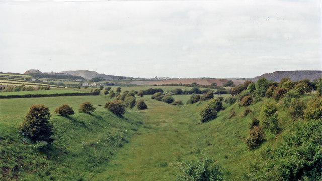
Galemire is a small village located in the county of Cumberland, England. Situated in the picturesque Lake District National Park, it is surrounded by stunning natural beauty and offers a tranquil escape from the hustle and bustle of city life.

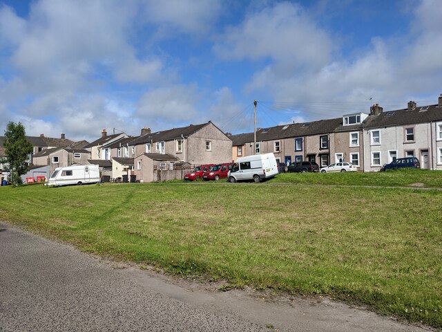
The village is characterized by its charming stone cottages, narrow winding streets, and well-preserved historical buildings. The local economy is mainly centered around agriculture, with farming being the primary occupation of the villagers. The fertile land in the area allows for the cultivation of crops like barley, oats, and potatoes, while livestock farming, particularly sheep rearing, is also prevalent.

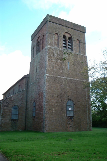
One of the notable landmarks in Galemire is St. Mary's Church, a beautiful medieval structure that dates back to the 12th century. The church's architecture showcases the traditional Gothic style and the interior is adorned with intricate woodwork and stained glass windows.

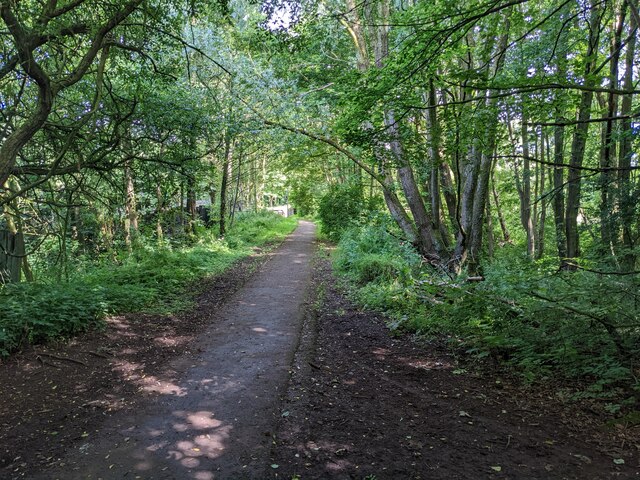
Outdoor enthusiasts are attracted to Galemire due to its proximity to the Lake District National Park. The village serves as an excellent base for hiking and exploring the surrounding mountains, including the popular Scafell Pike, the highest peak in England. Additionally, the nearby lakes offer opportunities for boating, fishing, and other water sports.

With its idyllic countryside setting and rich history, Galemire is a destination that offers a peaceful retreat and a chance to immerse oneself in the natural wonders of Cumberland.

If you have any feedback on the listing, please let us know in the comments section below.
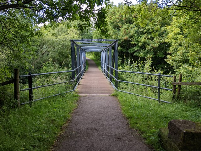
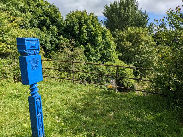
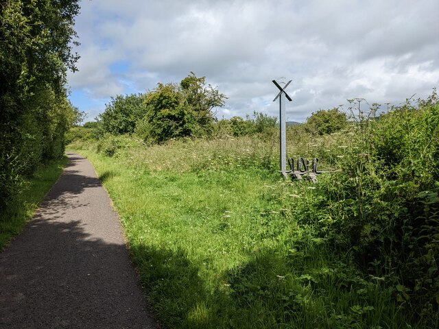
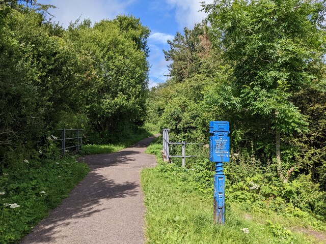
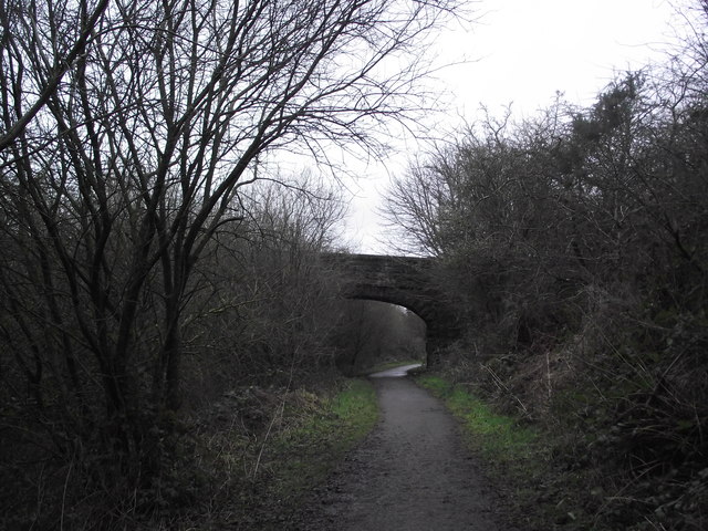
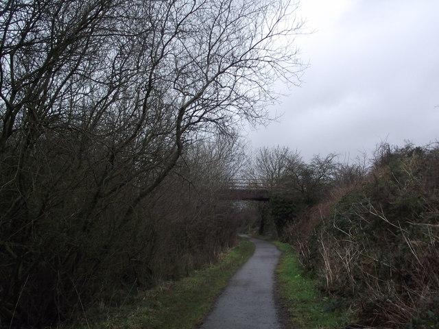
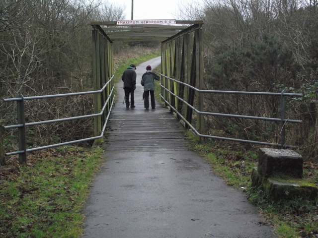
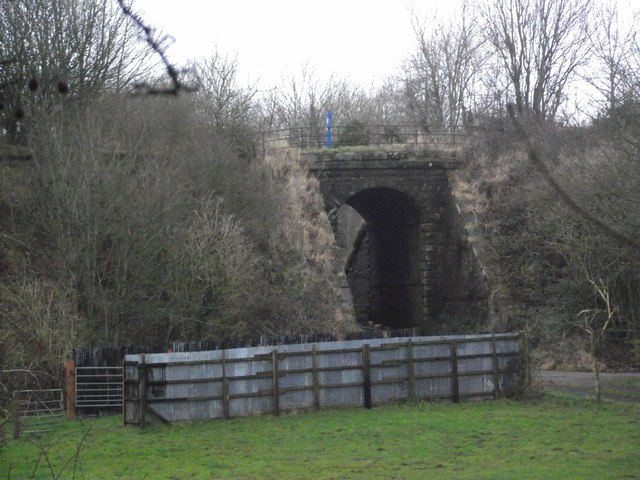
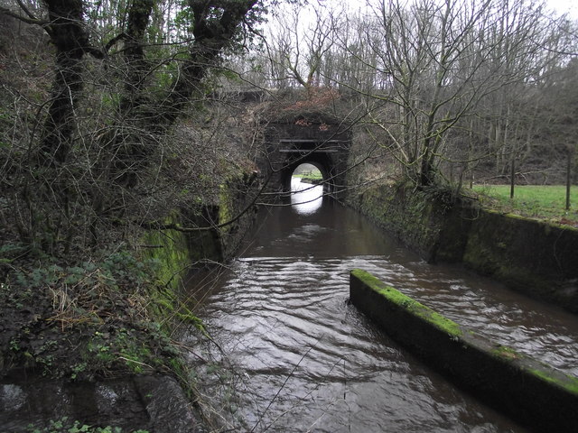
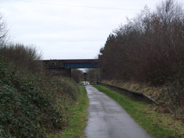
Galemire Images

Images are sourced within 2km of 54.527406/-3.5459618 or Grid Reference NY0015. Thanks to Geograph Open Source API. All images are credited.

Benchmark, Scalegill, Railway Bridge Detail of the Ordnance Survey flush bracket benchmark on the railway bridge which carries the A595 road over the former Mirehouse Junction to Moor Row railway near Scalegill.  The benchmark marks a height of 66.6317m above mean sea level (Ordnance Datum Newlyn) last levelled in 1961 and verified in 1965 (location photograph <a href="https://www.geograph.org.uk/photo/7145255">NX9914 : Railway bridge parapet, Scalegill</a>).
Benchmark, Scalegill, Railway Bridge
Detail of the Ordnance Survey flush bracket benchmark on the railway bridge which carries the A595 road over the former Mirehouse Junction to Moor Row railway near Scalegill. The benchmark marks a height of 66.6317m above mean sea level (Ordnance Datum Newlyn) last levelled in 1961 and verified in 1965 (location photograph NX9914 : Railway bridge parapet, Scalegill).
Railway bridge parapet, Scalegill The bridge near Scalegill carries the A595 road over the former Mirehouse Junction to Moor Row railway, now a part of the Coast to Coast Path.
There is an Ordnance Survey flush bracket benchmark on the face of the parapet wall (photograph <a href="https://www.geograph.org.uk/photo/7145198">NX9914 : Benchmark, Scalegill, Railway Bridge</a>), below and to the right of the engineer’s painted reference number.
Railway bridge parapet, Scalegill
The bridge near Scalegill carries the A595 road over the former Mirehouse Junction to Moor Row railway, now a part of the Coast to Coast Path. There is an Ordnance Survey flush bracket benchmark on the face of the parapet wall (photograph NX9914 : Benchmark, Scalegill, Railway Bridge), below and to the right of the engineer’s painted reference number.
A junction on the cycleway at Moor Row Hadrian's Cycleway and the Coast to Coast use the old railway lines. The blue post marks the Coast to Coast (alternative) route and has an intricate engineering design. 
Hadrian's Cycleway runs from Ravenglass to South Shields.  See here for more information: <span class="nowrap"><a title="https://www.sustrans.org.uk/find-other-routes/hadrians-cycleway" rel="nofollow ugc noopener" href="https://www.sustrans.org.uk/find-other-routes/hadrians-cycleway">Link</a><img style="margin-left:2px;" alt="External link" title="External link - shift click to open in new window" src="https://s1.geograph.org.uk/img/external.png" width="10" height="10"/></span>
A junction on the cycleway at Moor Row
Hadrian's Cycleway and the Coast to Coast use the old railway lines. The blue post marks the Coast to Coast (alternative) route and has an intricate engineering design. Hadrian's Cycleway runs from Ravenglass to South Shields. See here for more information: LinkExternal link
A substantial farm bridge over Cycle Route 72
The cycle route crosses Blind Lane This is not the original railway bridge, but I don't know why it has the cage-like design.
The cycle route crosses Blind Lane
This is not the original railway bridge, but I don't know why it has the cage-like design.
The cycle route crosses a farm lane here The blue post is a very elaborate Coast to Coast path marker, with a rail truck acknowledging the history of this section of path.
The cycle route crosses a farm lane here
The blue post is a very elaborate Coast to Coast path marker, with a rail truck acknowledging the history of this section of path.
A metal sculpture on Cycle Route 71 In the upper arms of the cross is a cartoon-like silhouette of a pig. The symbolism is not clear, but all the artwork along the cycleway is designed to reflect the heritage of the local area.
A metal sculpture on Cycle Route 71
In the upper arms of the cross is a cartoon-like silhouette of a pig. The symbolism is not clear, but all the artwork along the cycleway is designed to reflect the heritage of the local area.
A Cycle Route 71 marker where the cycle route crosses over a public footpath
Cycle Route 71 goes through a green tunnel at Cleator Moor
Housing terraces at Cleator Moor
Near site of Cleator Moor station, 1986 A view along the course of the former Cleator & Workington Junction line, which was built, along with various other lines, for transporting haematite iron ore from the rich mines in the area to the iron and steel works in the Workington and Harrington Districts. For 100 years from the 1860s this area, nowadays almost reclaimed by nature, had been heavily industrialised and honeycombed by railways: the remnants of spoil-heaps from the iron and coal mines can be seen on the horizon. Keekle Viaduct can also be seen in the extreme left background.
Near site of Cleator Moor station, 1986
A view along the course of the former Cleator & Workington Junction line, which was built, along with various other lines, for transporting haematite iron ore from the rich mines in the area to the iron and steel works in the Workington and Harrington Districts. For 100 years from the 1860s this area, nowadays almost reclaimed by nature, had been heavily industrialised and honeycombed by railways: the remnants of spoil-heaps from the iron and coal mines can be seen on the horizon. Keekle Viaduct can also be seen in the extreme left background.
St John's church, Cleator Moor
Railway Bridge Bridge over the track bed of the Cleator and Furness Railway; now part of C2C; Sustrans route 72
Railway Bridge
Bridge over the track bed of the Cleator and Furness Railway; now part of C2C; Sustrans route 72
Railway Bridge Bridge over the former trackbed of the Furness & Cleator Railway; now part of the C2C cycle way; route 62. The number 13 is painted on the parapet
Railway Bridge
Bridge over the former trackbed of the Furness & Cleator Railway; now part of the C2C cycle way; route 62. The number 13 is painted on the parapet
Cycle Route 72 This bridge carries cycle route 72 over Blind Lane
Cycle Route 72
This bridge carries cycle route 72 over Blind Lane
Railway Bridge This bridge carried a branch of the Whitehaven, Cleator & Egremont Railway over Blind Lane to serve iron works in the Cleator Moor area.  The trackbed is now used as cycle route 71
Railway Bridge
This bridge carried a branch of the Whitehaven, Cleator & Egremont Railway over Blind Lane to serve iron works in the Cleator Moor area. The trackbed is now used as cycle route 71
Railway Bridge over the River Keekle This bridge once carried the Whitehaven, Cleator and Egremont Railway over the River Keekle.  This bridge is now used for cycle route 71.
Railway Bridge over the River Keekle
This bridge once carried the Whitehaven, Cleator and Egremont Railway over the River Keekle. This bridge is now used for cycle route 71.
Remains of platform at Moor Row station Remains of platform at Moor Row station on the Whitehaven, Cleator and Egremont Railway; the trackbed is now part of C2C, cycle route 72.
Remains of platform at Moor Row station
Remains of platform at Moor Row station on the Whitehaven, Cleator and Egremont Railway; the trackbed is now part of C2C, cycle route 72.
Show me another place!

Galemire is located at Grid Ref: NY0015 (Lat: 54.527406, Lng: -3.5459618)

Administrative County: Cumbria

District: Copeland

Police Authority: Cumbria

What 3 Words

///apprehend.steadier.carefully. Near Cleator Moor, Cumbria

Nearby Locations

Galemire

Related Wikis

Keekle

Keekle is a hamlet in Cumbria, England. It is located just to the northeast of Goose Butts (which is approximately 22 km (14 mi) from Cockermouth) along...
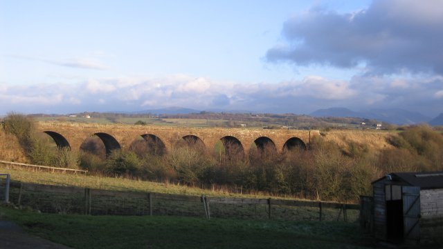
Keekle Viaduct

Keekle Viaduct is a former railway viaduct near Keekle, Cumbria, England. == Context == The viaduct is a substantial structure which carried the double...

Keekle Colliers' Platform railway station

Keekle Colliers' Platform railway station was opened by the Cleator and Workington Junction Railway (C&WJR) in July 1910, closed the following January...

Cleator Moor West railway station

Cleator Moor West railway station was opened as "Cleator Moor" by the Cleator and Workington Junction Railway (C&WJR) in 1879. It served the growing industrial...

Nearby Amenities

Located within 500m of 54.527406,-3.5459618
Power: tower
Lat/Long: 54.5274965/-3.5521769
Power: tower
Lat/Long: 54.5293241/-3.5493489
Turning Circle
Lat/Long: 54.5252721/-3.5448181
Turning Circle
Lat/Long: 54.5257951/-3.5444962
Power: tower
Lat/Long: 54.52436/-3.5508841
Post Box
Ref: CA25 53
Lat/Long: 54.5266725/-3.541161
Galemire
Place: locality
Lat/Long: 54.5262494/-3.5422102
Power: pole
Lat/Long: 54.5315276/-3.5440215
Power: pole
Lat/Long: 54.530751/-3.5434261
Power: pole
Lat/Long: 54.5298218/-3.5427153
Power: pole
Lat/Long: 54.5290202/-3.5420877
Power: pole
Lat/Long: 54.5284249/-3.5416693
Power: pole
Lat/Long: 54.5276567/-3.5410644
Power: pole
Lat/Long: 54.5270715/-3.5406232
Power: pole
Lat/Long: 54.5263352/-3.5400707
Power: pole
Lat/Long: 54.5256301/-3.5395101
Power: pole
Lat/Long: 54.526411/-3.552763
Power: pole
Lat/Long: 54.5268918/-3.5512356
Power: pole
Lat/Long: 54.5271245/-3.5505003
Power: pole
Lat/Long: 54.5251578/-3.5407508
Power: pole
Lat/Long: 54.5255634/-3.5407346
Power: pole
Lat/Long: 54.5259584/-3.5407103
Power: pole
Lat/Long: 54.5263722/-3.5407063
Power: pole
Lat/Long: 54.5267754/-3.5406921
Power: pole
Lat/Long: 54.5270881/-3.5414841
Power: pole
Lat/Long: 54.5276817/-3.5426529
Power: pole
Lat/Long: 54.5282436/-3.543763
Power: pole
Lat/Long: 54.528762/-3.5448123
Power: pole
Lat/Long: 54.529499/-3.5462626
Power: pole
Lat/Long: 54.5298105/-3.5470061
Power: pole
Lat/Long: 54.5302278/-3.5477799
Power: pole
Lat/Long: 54.5304511/-3.5497772
Power: pole
Lat/Long: 54.5293756/-3.543763
Power: pole
Lat/Long: 54.5300914/-3.5426246
The data included in this document is from www.openstreetmap.org. The data is made available under ODbL.

Have you been to Galemire?

Leave your review of Galemire below (or comments, questions and feedback).