Galafoot
Settlement in Selkirkshire
Scotland
Galafoot

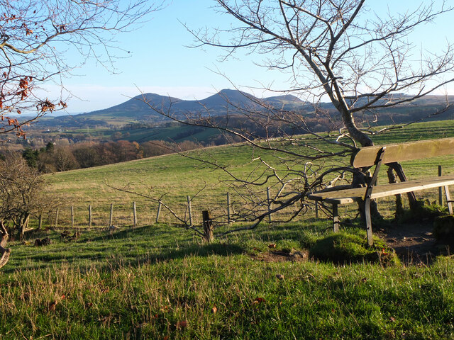
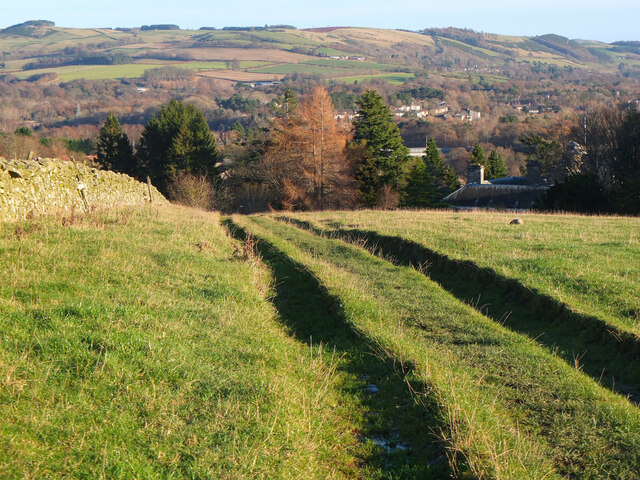
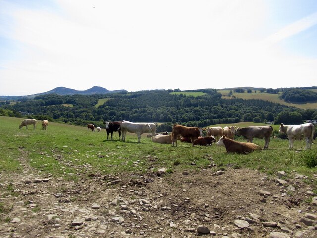
Galafoot is a small village located in Selkirkshire, a historic county in the southern part of Scotland. Situated on the banks of the River Tweed, Galafoot is renowned for its picturesque beauty and tranquil atmosphere. The village is nestled amidst rolling hills and lush green landscapes, making it an idyllic destination for nature lovers and outdoor enthusiasts.
Galafoot is well-known for its close proximity to the popular town of Galashiels, which lies just a few miles north. This allows residents and visitors easy access to a wide range of amenities, including shops, restaurants, and entertainment venues. Galafoot itself, however, offers a more rural setting, with a limited number of local businesses and services.
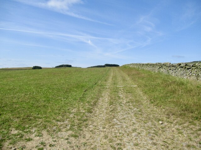
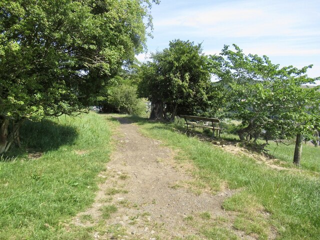
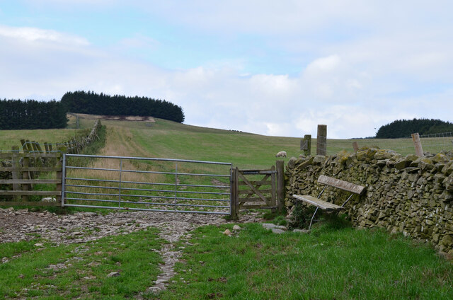
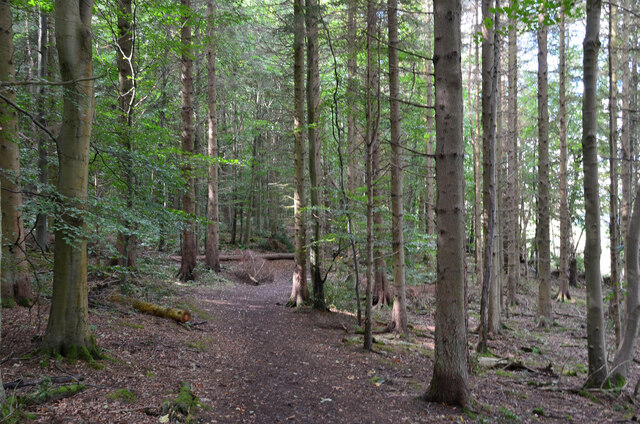
One of the main attractions of Galafoot is its picturesque walking and cycling trails. The village serves as an excellent base for exploring the surrounding countryside, with numerous paths winding through the stunning scenery. The River Tweed is also a popular spot for fishing enthusiasts, attracting anglers from near and far.
Historically, Galafoot has been a vital crossing point on the River Tweed, with a bridge connecting the village to the opposite bank. This has contributed to the village's significance as a transportation hub, facilitating travel between Selkirkshire and neighboring regions.
Overall, Galafoot offers a peaceful and scenic retreat, perfect for those seeking a break from the bustling city life. Its natural beauty, combined with its convenient location, makes it an attractive destination for both locals and tourists alike.
If you have any feedback on the listing, please let us know in the comments section below.
Galafoot Images
Images are sourced within 2km of 55.607175/-2.7771465 or Grid Reference NT5135. Thanks to Geograph Open Source API. All images are credited.


Galafoot is located at Grid Ref: NT5135 (Lat: 55.607175, Lng: -2.7771465)
Unitary Authority: The Scottish Borders
Police Authority: The Lothians and Scottish Borders
What 3 Words
///disco.airports.surging. Near Tweedbank, Scottish Borders
Nearby Locations
Related Wikis
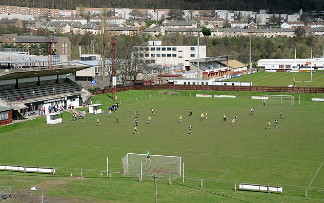
Netherdale
Netherdale is a sports complex in Galashiels, Scottish Borders, consisting of two adjacent stadiums used for rugby union and football. The rugby ground...

Borders College
Borders College (Scottish Gaelic: Colaiste nan Crìochan) is a further education institution in the Scottish Borders, Scotland. Its main campus is located...

Tweedbank
Tweedbank is a large village south-east of Galashiels in the Scottish Borders. It is part of the county of Roxburghshire. It is an outer suburb or satellite...
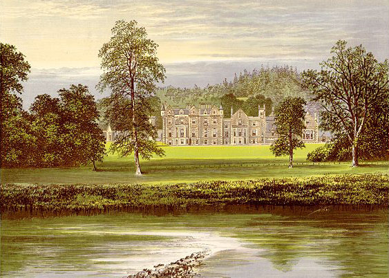
Abbotsford, Scottish Borders
Abbotsford is a historic country house in the Scottish Borders, near Galashiels, on the south bank of the River Tweed. Now open to the public, it was built...
Nearby Amenities
Located within 500m of 55.607175,-2.7771465Have you been to Galafoot?
Leave your review of Galafoot below (or comments, questions and feedback).