Lowood
Settlement in Roxburghshire
Scotland
Lowood

Lowood is a small village located in Roxburghshire, a historic county in the Scottish Borders region of Scotland. Situated approximately 8 miles southeast of the town of Hawick, Lowood is nestled within a picturesque landscape surrounded by rolling hills and scenic countryside.
The village itself is characterized by its quaint charm and peaceful atmosphere. It is home to a close-knit community, consisting of a small population of residents who enjoy a tranquil rural lifestyle. The architecture in Lowood is predominantly traditional, with a mix of stone cottages and more modern houses. The village is well-maintained, with neat gardens and well-kept streets adding to its overall appeal.
While Lowood may be small, it provides essential amenities for its inhabitants. There is a local convenience store that caters to the everyday needs of the community, as well as a primary school, ensuring that families have access to education for their children. Additionally, the village boasts a community center that serves as a hub for various social activities and events.
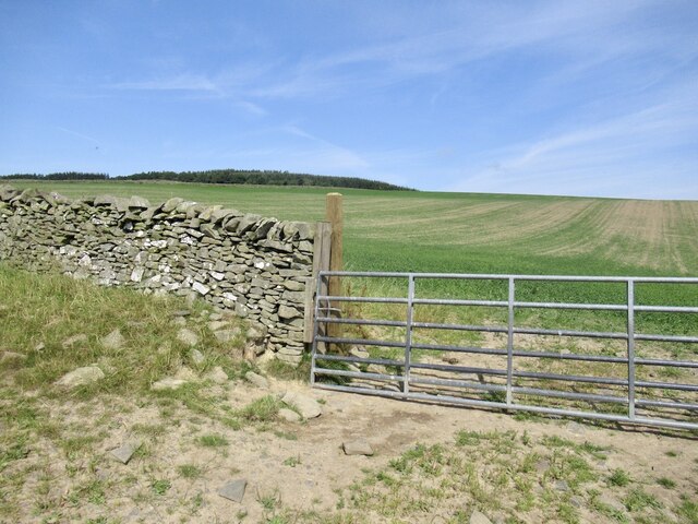
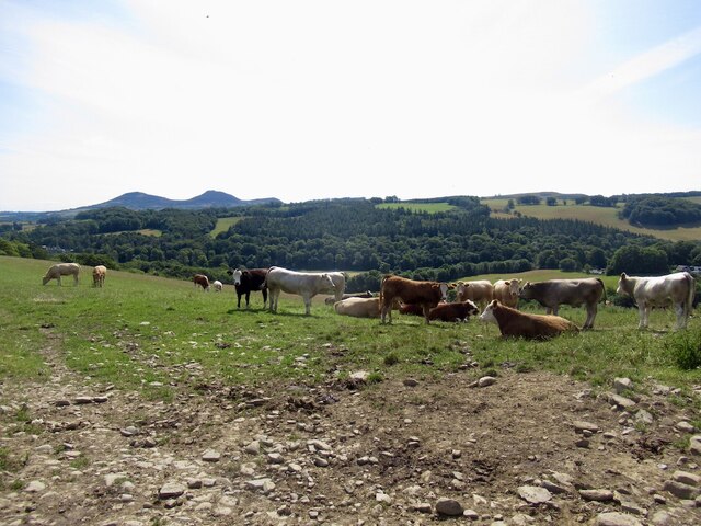
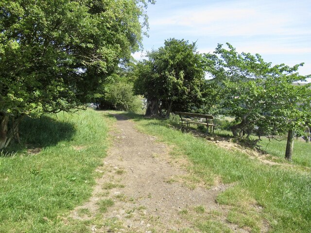
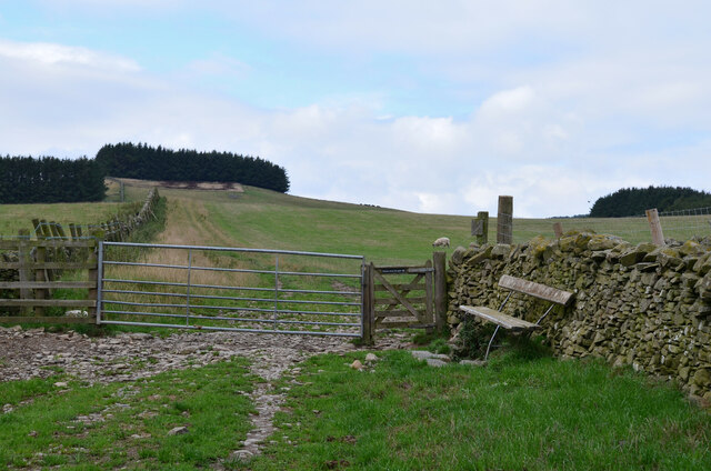
In terms of leisure and recreation, Lowood benefits from its rural location. The surrounding countryside offers ample opportunities for outdoor activities such as hiking, cycling, and fishing. Nature enthusiasts can explore the nearby woodlands and enjoy the abundance of wildlife and natural beauty.
Overall, Lowood in Roxburghshire presents an idyllic setting for those seeking a peaceful village lifestyle amidst the stunning Scottish Borders landscape.
If you have any feedback on the listing, please let us know in the comments section below.
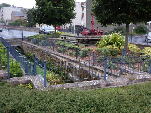
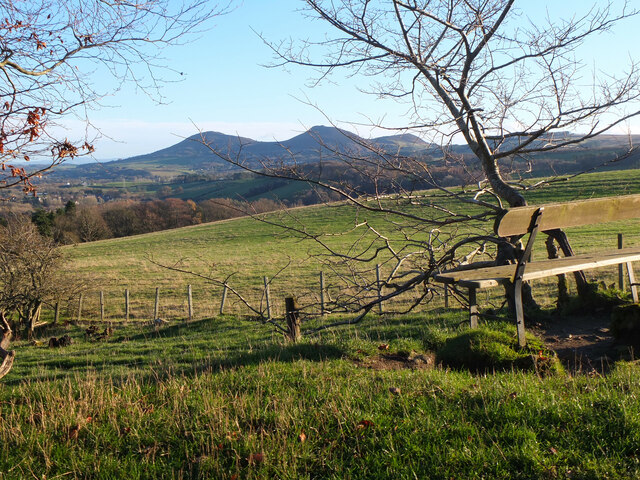
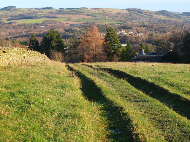
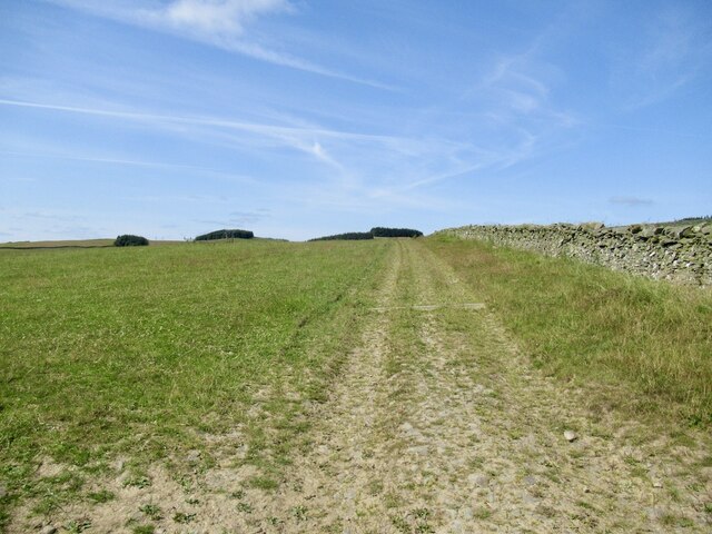
Lowood Images
Images are sourced within 2km of 55.606128/-2.7793163 or Grid Reference NT5135. Thanks to Geograph Open Source API. All images are credited.


Lowood is located at Grid Ref: NT5135 (Lat: 55.606128, Lng: -2.7793163)
Unitary Authority: The Scottish Borders
Police Authority: The Lothians and Scottish Borders
What 3 Words
///funded.master.conductor. Near Tweedbank, Scottish Borders
Nearby Locations
Related Wikis
Netherdale
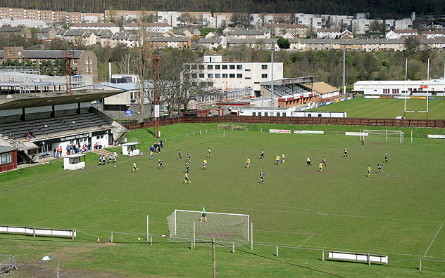
Netherdale is a sports complex in Galashiels, Scottish Borders, consisting of two adjacent stadiums used for rugby union and football. The rugby ground...

Borders College
Borders College (Scottish Gaelic: Colaiste nan Crìochan) is a further education institution in the Scottish Borders, Scotland. Its main campus is located...
Abbotsford, Scottish Borders
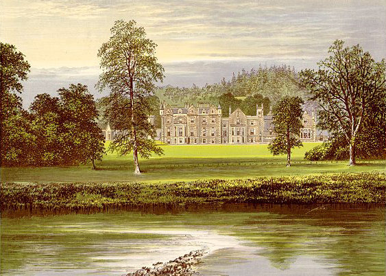
Abbotsford is a historic country house in the Scottish Borders, near Galashiels, on the south bank of the River Tweed. Now open to the public, it was built...

Tweedbank
Tweedbank is a large village south-east of Galashiels in the Scottish Borders, Scotland. It is part of the county of Roxburghshire. It is an outer suburb...

Gala Water
The Gala Water (Lowland Scots: Gala Watter; Scottish Gaelic An Geal Ath) is a river in the Scottish Borders area of Scotland and a tributary of the River...

Tweedbank railway station
Tweedbank is a railway station on the Borders Railway, which runs between Edinburgh Waverley and Tweedbank. The station, situated 35 miles 34 chains (57...
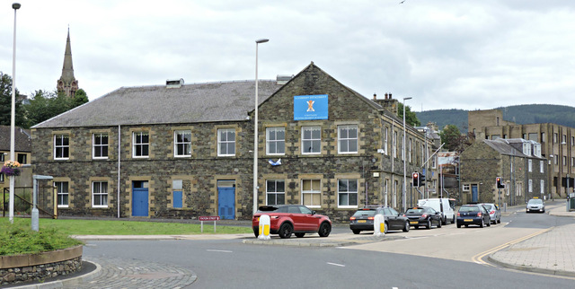
Paton Street drill hall, Galashiels
The Paton Street drill hall is a military installation in Galashiels, Scotland. == History == The building was designed as offices for Mid Mill, sometimes...
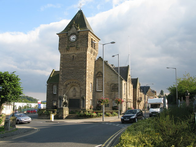
Galashiels Burgh Chambers
Galashiels Burgh Chambers is a municipal building in Albert Place, Galashiels, Scotland. The building, which was the headquarters of Galashiels Burgh Council...
Nearby Amenities
Located within 500m of 55.606128,-2.7793163Have you been to Lowood?
Leave your review of Lowood below (or comments, questions and feedback).