Ley Wood
Wood, Forest in Essex Braintree
England
Ley Wood
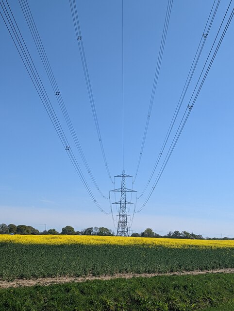
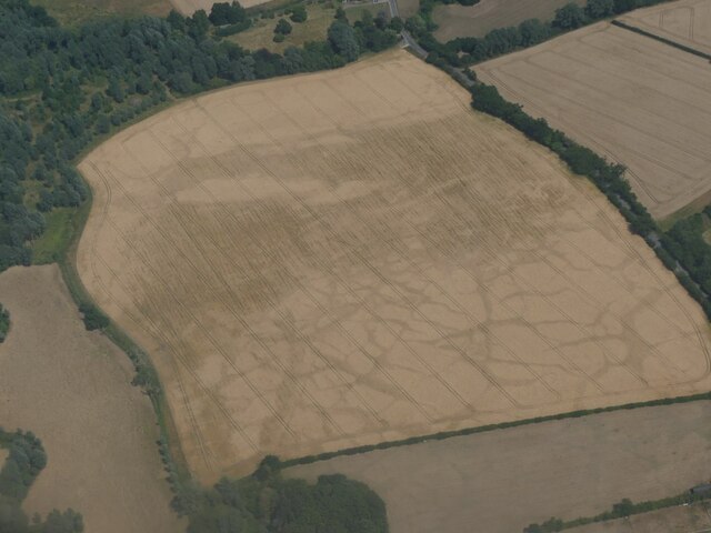
Ley Wood, located in Essex, England, is a stunning forest that covers an area of approximately 110 hectares. It is known for its rich biodiversity and is an essential part of the local ecosystem. The wood is managed by the Essex Wildlife Trust, which ensures the preservation and conservation of this natural habitat.
Ley Wood is predominantly composed of ancient oak trees, some of which are estimated to be over 400 years old. These majestic trees provide a dense canopy, creating a cool and shaded environment below. The forest floor is covered with a thick layer of leaf litter, which supports a diverse range of plant species, including bluebells, wood anemones, and wild garlic.
The wood is also home to a variety of wildlife, making it a popular spot for nature enthusiasts. Numerous bird species can be spotted here, including woodpeckers, owls, and various songbirds. Additionally, Ley Wood is inhabited by various mammals such as deer, foxes, and badgers.
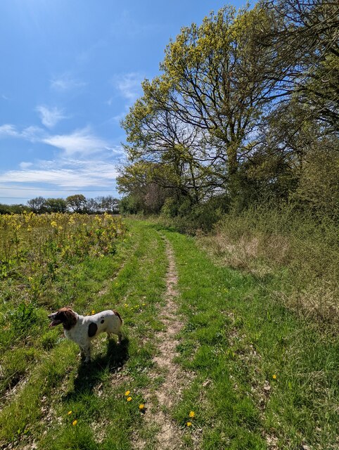
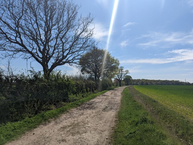
Walking trails wind their way through the wood, offering visitors the opportunity to explore and appreciate this enchanting forest. These paths are well-maintained and accessible to all, making it an ideal location for outdoor activities such as walking, jogging, and picnicking.
Ley Wood is a cherished natural gem in Essex, providing a tranquil escape from the hustle and bustle of everyday life. Its beauty and ecological significance make it a must-visit destination for nature lovers and those seeking a peaceful retreat in the heart of the Essex countryside.
If you have any feedback on the listing, please let us know in the comments section below.
Ley Wood Images
Images are sourced within 2km of 51.876899/0.57654762 or Grid Reference TL7722. Thanks to Geograph Open Source API. All images are credited.


Ley Wood is located at Grid Ref: TL7722 (Lat: 51.876899, Lng: 0.57654762)
Administrative County: Essex
District: Braintree
Police Authority: Essex
What 3 Words
///trio.gained.object. Near Rayne, Essex
Nearby Locations
Related Wikis

Cressing Road
Cressing Road, also known as the Rare Breed Meat Co. Stadium for sponsorship purposes, is a football stadium in Braintree, Essex, and the home ground of...
Alec Hunter Academy
Alec Hunter Academy (formerly The Alec Hunter County Secondary School for Boys and Girls, Alec Hunter Comprehensive School, Alec Hunter High School and...
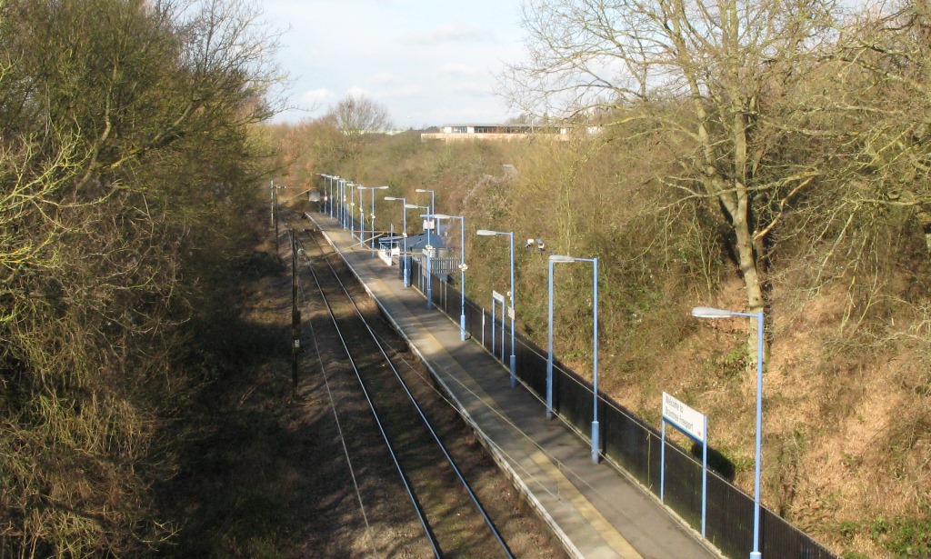
Braintree Freeport railway station
Braintree Freeport railway station is on the Braintree Branch Line in the East of England, serving the Braintree Village shopping centre (formerly known...
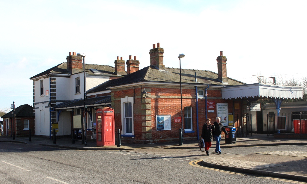
Braintree railway station (England)
Braintree railway station is the northern terminus of the Braintree Branch Line in the East of England, serving the town of Braintree, Essex. It is 44...
Nearby Amenities
Located within 500m of 51.876899,0.57654762Have you been to Ley Wood?
Leave your review of Ley Wood below (or comments, questions and feedback).