The Oaks
Wood, Forest in Norfolk Breckland
England
The Oaks
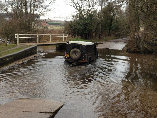
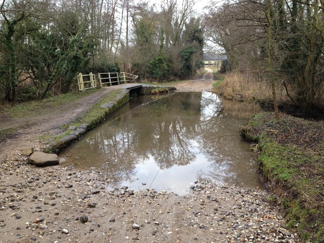
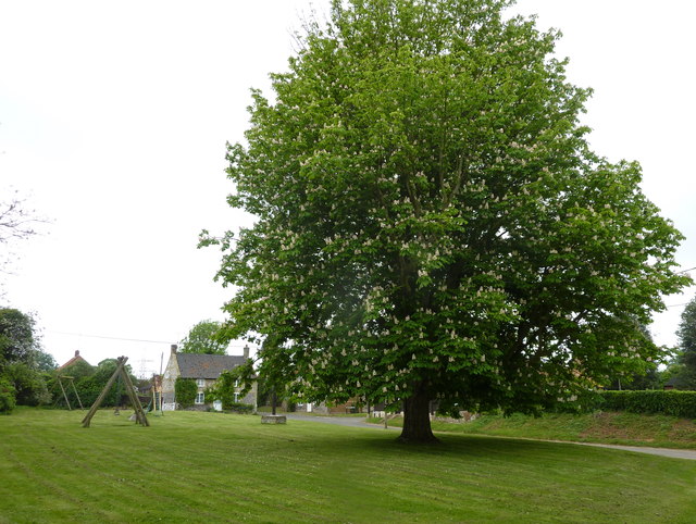
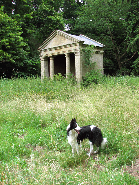
The Oaks, Norfolk is a picturesque woodland area located in the county of Norfolk, England. Spanning over a vast area, it is known for its dense forests and diverse range of tree species. The woodland is primarily composed of oak trees, hence the name "The Oaks."
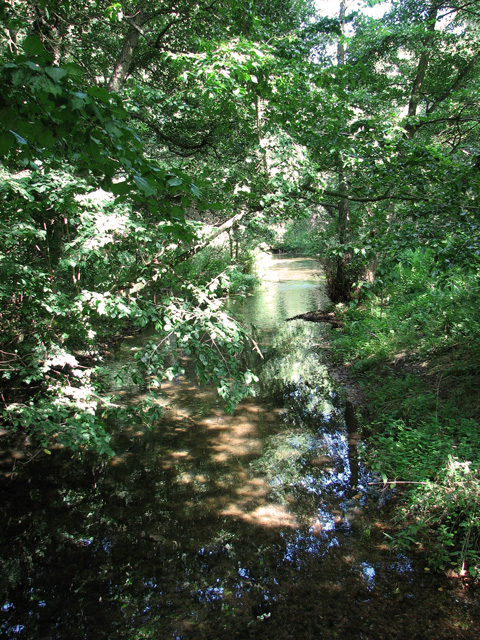
Visitors to The Oaks can immerse themselves in the natural beauty of the forest, with its towering trees and lush undergrowth. The forest floor is covered in a carpet of moss, ferns, and wildflowers, creating a vibrant and colorful atmosphere.
The Oaks is a haven for wildlife enthusiasts, as it is home to a variety of animal species. Deer, foxes, badgers, and numerous bird species can be spotted throughout the woodland. The tranquil environment provides the perfect opportunity for birdwatching, with sightings of woodpeckers, owls, and various songbirds being common.
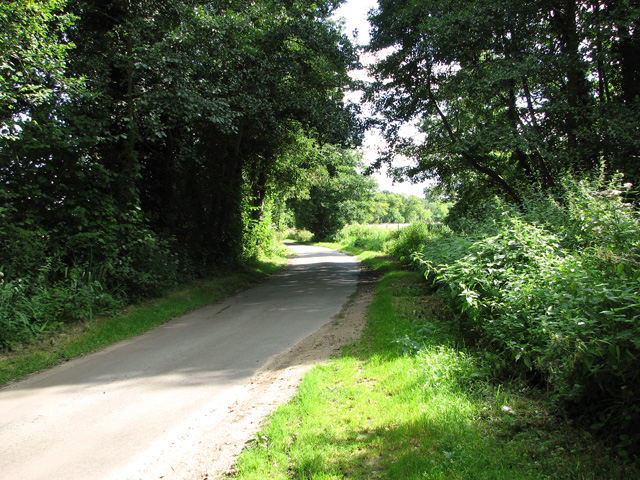
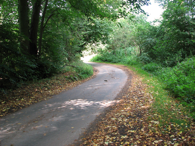
The woodland offers a network of walking trails and paths, allowing visitors to explore the area at their own pace. These trails wind through the forest, offering glimpses of scenic views and hidden clearings. Nature lovers can enjoy long walks, picnics, or simply find a quiet spot to relax and soak in the peaceful ambiance.
The Oaks is not only a natural retreat but also a site of historical significance. The woodland has played a crucial role in the timber industry, with its oak trees being a valuable resource for shipbuilding and construction. The area has been carefully managed to preserve its natural heritage and ensure the long-term sustainability of the forest.
Overall, The Oaks, Norfolk is a haven of natural beauty, offering visitors a chance to escape the hustle and bustle of daily life and reconnect with nature. It is a paradise for wildlife enthusiasts, hikers, and those seeking a peaceful retreat in the heart of Norfolk's woodlands.
If you have any feedback on the listing, please let us know in the comments section below.
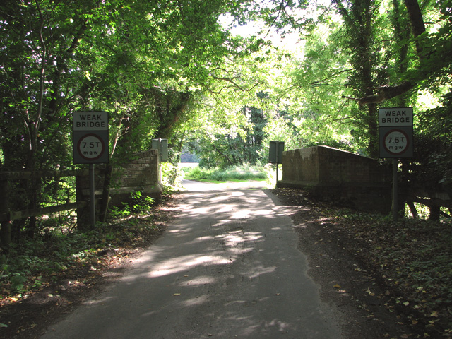
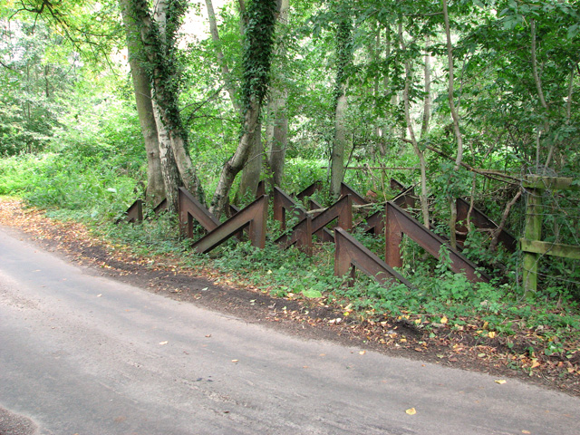
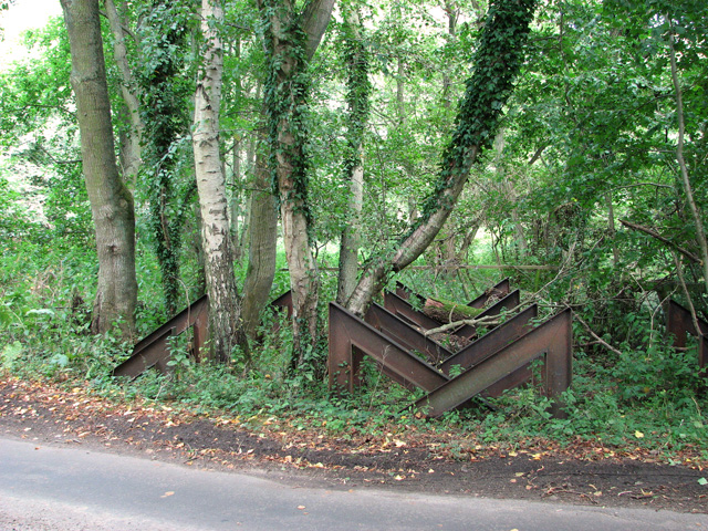
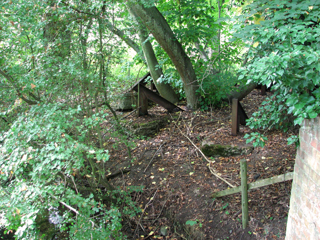
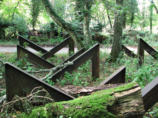
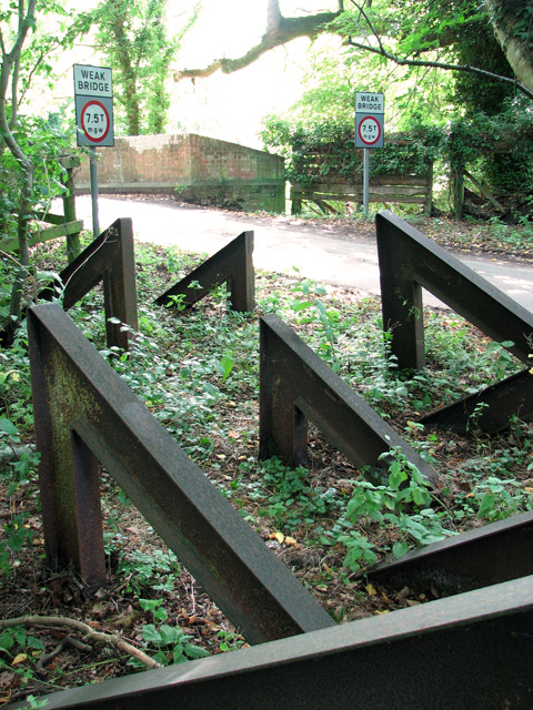
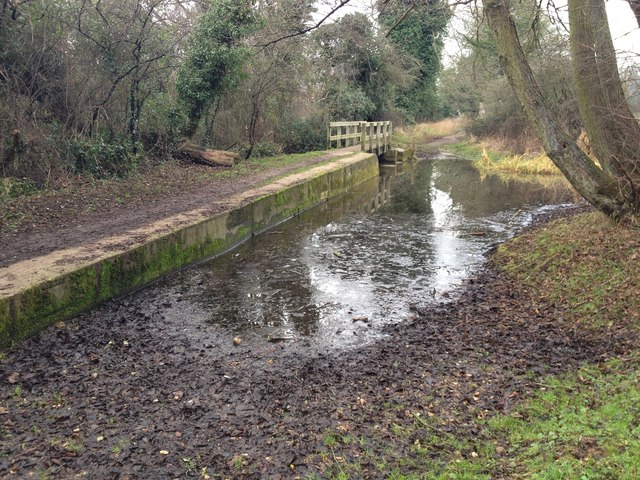
The Oaks Images
Images are sourced within 2km of 52.698483/0.62451997 or Grid Reference TF7714. Thanks to Geograph Open Source API. All images are credited.

The Oaks is located at Grid Ref: TF7714 (Lat: 52.698483, Lng: 0.62451997)
Administrative County: Norfolk
District: Breckland
Police Authority: Norfolk
What 3 Words
///sprinkler.stereos.snapped. Near Narborough, Norfolk
Related Wikis

West Acre Priory
West Acre Priory of St. Mary and All Saints was a medieval monastic house at West Acre in the King's Lynn and West Norfolk district of Norfolk, England...

West Acre
West Acre is a village and civil parish in the King's Lynn and West Norfolk district of the county of Norfolk, England. It covers an area of 14.49 km2...

Narford
Narford is situated in the Breckland District of Norfolk and covers an area of 970 hectares (3.75 square miles). Narford village has all but disappeared...

Castle Acre Common
Castle Acre Common is a 17.8-hectare (44-acre) biological Site of Special Scientific Interest east of King's Lynn in Norfolk.This unimproved grazing marsh...

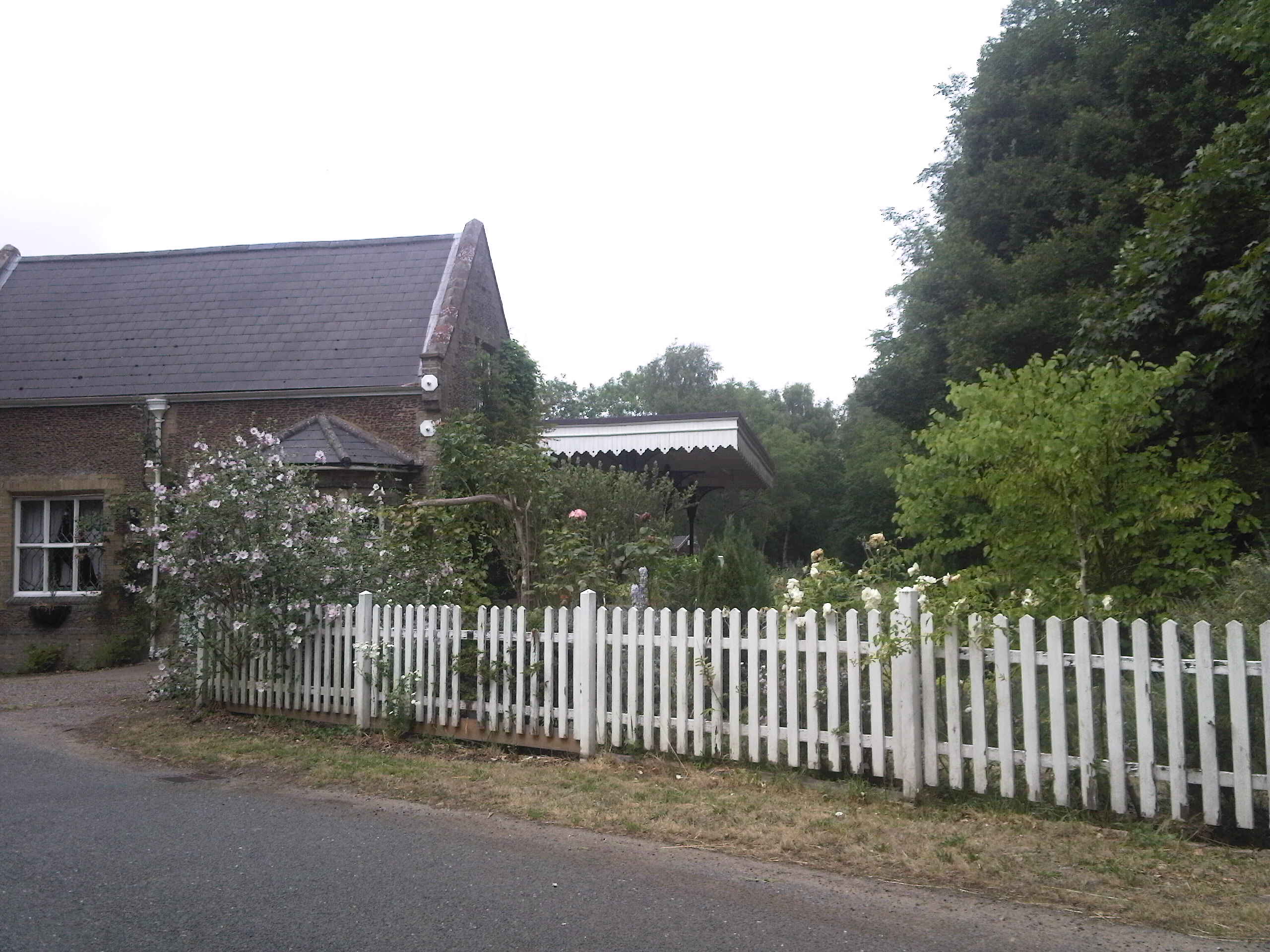
Narborough Watermill
Narborough Watermill is located on the river Nar, within the village of Narborough in the English county of Norfolk. The watermill is thought to have been...

East Walton
East Walton is a village in the English county of Norfolk. The village is located 7.8 miles (12.6 km) south-east of King's Lynn and 31 miles (50 km) north...
Narborough, Norfolk
Narborough is a village of 1405 hectares in the Breckland district of Norfolk, England, with a population of 1,094 at the 2011 census. It is situated...
Narborough and Pentney railway station
Narborough and Pentney station was in Norfolk, serving the villages of Narborough and Pentney. == History == It was on the line between King's Lynn and...
Have you been to The Oaks?
Leave your review of The Oaks below (or comments, questions and feedback).