Cinderbank Shaw

Wood, Forest in Sussex Rother

England

Cinderbank Shaw

The Royal Oak, Whatlington This public house was built in 1490. The apple tree in the garden is wassailed every year. The A21 runs by its side.
The Royal Oak, Whatlington Credit: N Chadwick

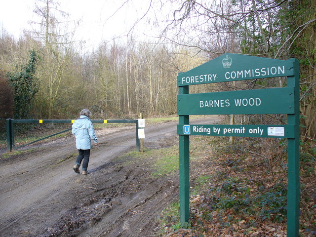
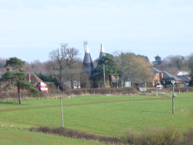
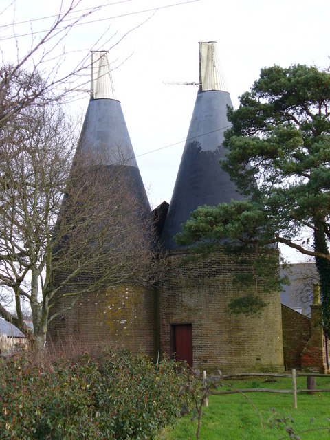
Cinderbank Shaw is a picturesque woodland located in Sussex, England. Nestled within the enchanting landscape of the South Downs National Park, this forested area spans approximately 100 acres and is a haven for nature enthusiasts and outdoor adventurers.

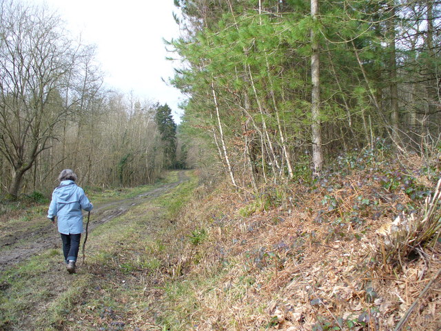
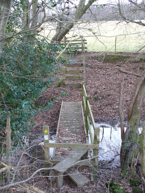
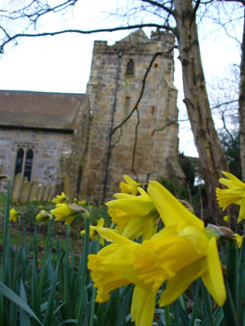
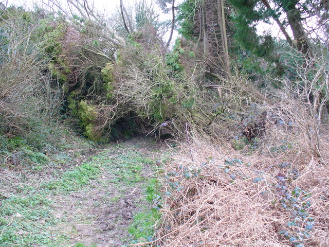
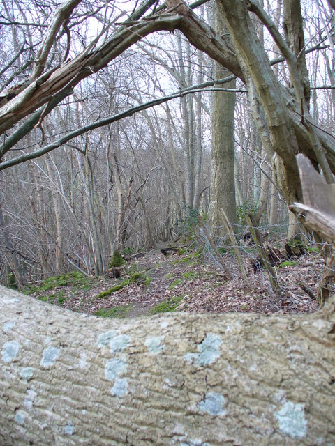
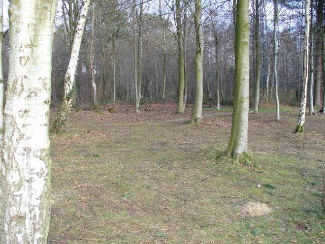
The woodland is characterized by its dense canopy of towering oak, beech, and ash trees, which create a serene and tranquil atmosphere. The forest floor is carpeted with a rich diversity of flora, including bluebells, wild garlic, and ferns, offering a vibrant display of colors throughout the seasons.

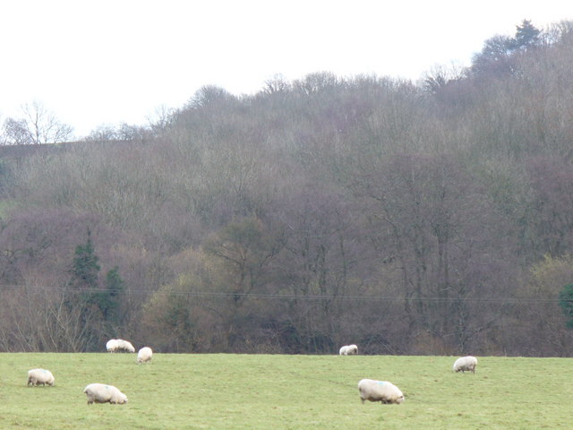
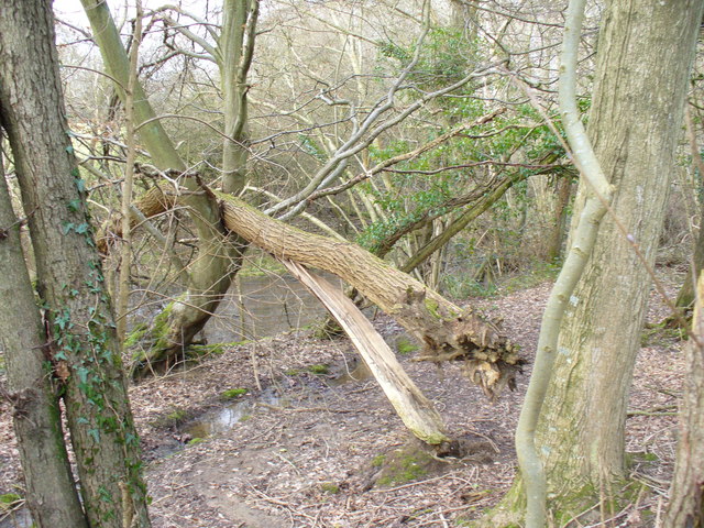
Cinderbank Shaw is home to an array of wildlife, making it a popular destination for birdwatchers and animal lovers. Visitors may spot various bird species such as woodpeckers, owls, and warblers, as well as mammals like deer, foxes, and badgers. The forest also supports a thriving population of butterflies and insects, adding to its ecological significance.

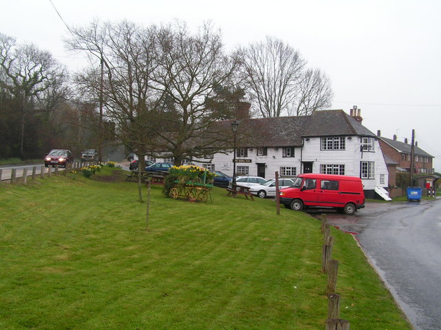
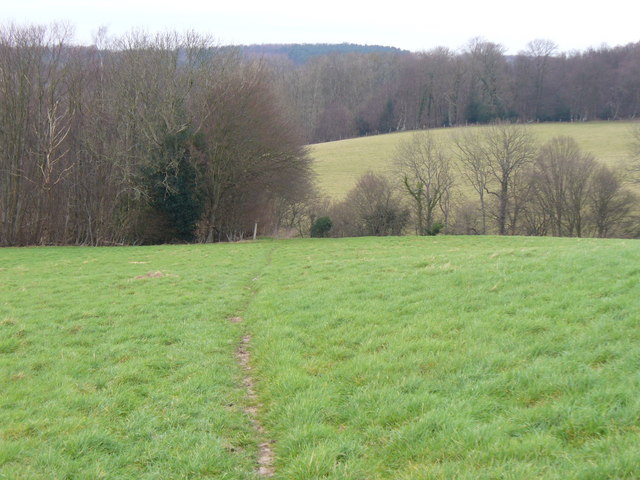
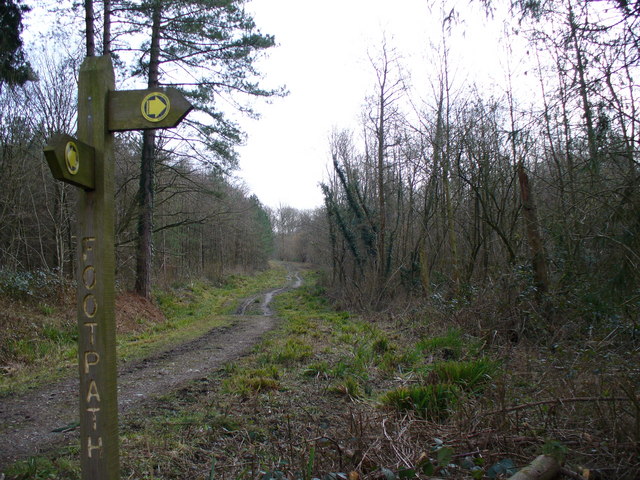
For outdoor enthusiasts, Cinderbank Shaw provides an array of recreational activities. The forest offers a network of well-maintained trails, allowing hikers and walkers to explore the woodland at their own pace. Additionally, the forest provides a perfect backdrop for picnics, photography, and nature observation. The peaceful atmosphere and breathtaking scenery make it an ideal location for those seeking solace and connection with the natural world.

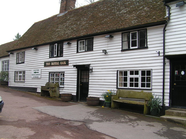
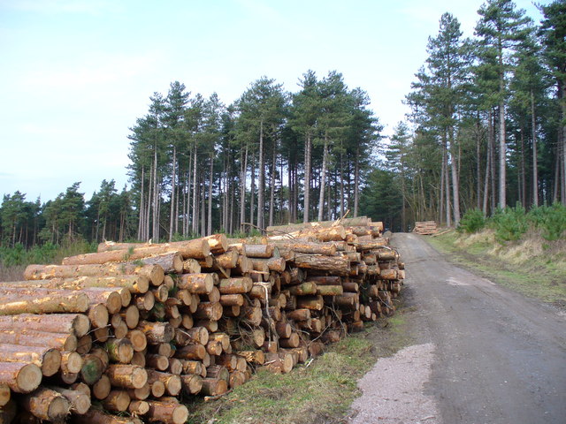
Managed by the local authorities, Cinderbank Shaw is a cherished natural gem in Sussex. Its beauty and ecological importance make it a beloved destination for locals and tourists alike, providing a much-needed escape from the hustle and bustle of modern life.

If you have any feedback on the listing, please let us know in the comments section below.

Cinderbank Shaw Images

Images are sourced within 2km of 50.951996/0.52470371 or Grid Reference TQ7719. Thanks to Geograph Open Source API. All images are credited.

The Royal Oak, Whatlington This public house was built in 1490. The apple tree in the garden is wassailed every year. The A21 runs by its side.
The Royal Oak, Whatlington
This public house was built in 1490. The apple tree in the garden is wassailed every year. The A21 runs by its side.
The Royal Oak, Whatlington In the bar is a very deep well & a very large inglenook
The Royal Oak, Whatlington
In the bar is a very deep well & a very large inglenook
Barnes Wood A forest track leading into the wood where it was a busy day for foresters. A few sections of track were rendered nearly impassable by the deep ruts in the mud.
Barnes Wood
A forest track leading into the wood where it was a busy day for foresters. A few sections of track were rendered nearly impassable by the deep ruts in the mud.
Forest Track in Barnes Wood This wood has a number of tracks criss-crossing its small area. The tracks are clay surface and so are very prone to being very muddy after wet weather, and prone to having deep ruts caused by forestry vehicles.
Forest Track in Barnes Wood
This wood has a number of tracks criss-crossing its small area. The tracks are clay surface and so are very prone to being very muddy after wet weather, and prone to having deep ruts caused by forestry vehicles.
Footbridge North of Sedlescombe East Sussex Council maintains this area well. A stile, footbridge, steps and a second stile make the going easy for walkers to cross this stream.
Footbridge North of Sedlescombe
East Sussex Council maintains this area well. A stile, footbridge, steps and a second stile make the going easy for walkers to cross this stream.
Grazing Sheep at Footland The wet grassland provides sustenance for many sheep as they enter the lambing season. Beyond the fields, the valleysides are clothed by deciduous trees.
Grazing Sheep at Footland
The wet grassland provides sustenance for many sheep as they enter the lambing season. Beyond the fields, the valleysides are clothed by deciduous trees.
Sedlescombe Parish Church The parish church of St John the Baptist dates from the 13th Century but the west tower seen here dates from 15th Century. Spanish chestnuts flank the entrance while there are, naturally, yews in the churchyard.
Sedlescombe Parish Church
The parish church of St John the Baptist dates from the 13th Century but the west tower seen here dates from 15th Century. Spanish chestnuts flank the entrance while there are, naturally, yews in the churchyard.
Footpath at Sedlescombe Church The path parallels the village street which follows the ridge line between the River Line and another tributary of the River Brede. Rhododendrons and skimmia lining the churchyard are blooming in February.
Footpath at Sedlescombe Church
The path parallels the village street which follows the ridge line between the River Line and another tributary of the River Brede. Rhododendrons and skimmia lining the churchyard are blooming in February.
Daffodil in Sedlescombe Churchyard Early blooms in beside the 15th Century church tower. The Sackvilles were the local landowners here.
Daffodil in Sedlescombe Churchyard
Early blooms in beside the 15th Century church tower. The Sackvilles were the local landowners here.
Blocked Footpath at Sedlescombe A fallen tree makes the going difficult for walkers but about three feet headroom makes the path still passable.
Blocked Footpath at Sedlescombe
A fallen tree makes the going difficult for walkers but about three feet headroom makes the path still passable.
Wealden Landscape North of Sedlescombe The footpath descends a grassy slope, to cross a stream , then rise again over another meadow. Woods mingle with the fields. The clay soil was still soaking after heavy rain, you could hear the water running across the slopes.
Wealden Landscape North of Sedlescombe
The footpath descends a grassy slope, to cross a stream , then rise again over another meadow. Woods mingle with the fields. The clay soil was still soaking after heavy rain, you could hear the water running across the slopes.
Blocked Path near Beech Farm This trunk, mottled with light turquoise growth, lies across the path through a small beech wood.
Blocked Path near Beech Farm
This trunk, mottled with light turquoise growth, lies across the path through a small beech wood.
Picnic Site, Footland Wood Benches sit benow the birches by the large car park. This area is popular with dog-walkers and walkers.
Picnic Site, Footland Wood
Benches sit benow the birches by the large car park. This area is popular with dog-walkers and walkers.
Log Stack, Barnes Wood The output of winter forestry activity line a track in this Wealden wood.
Log Stack, Barnes Wood
The output of winter forestry activity line a track in this Wealden wood.
Path Junction, Barnes Wood Forestry land is crossed by clay-surfaced paths and tracks.
Path Junction, Barnes Wood
Forestry land is crossed by clay-surfaced paths and tracks.
Woodland near Vinehall Street A stream is lined by deciduous trees, like beech. Note the recently fallen tree here. The soil is mainly water-retaining clay.
Woodland near Vinehall Street
A stream is lined by deciduous trees, like beech. Note the recently fallen tree here. The soil is mainly water-retaining clay.
Wealden Landscape, Vinehall Street Grassy fields, woods and oast houses are typical of this area of the Weald. Across the view runs the A21 London - Hastings road.
Wealden Landscape, Vinehall Street
Grassy fields, woods and oast houses are typical of this area of the Weald. Across the view runs the A21 London - Hastings road.
Oasts, Vinehall Street Industrial relics from the East Sussex hop industry which have not yet been converted into a desirable country residence.
Oasts, Vinehall Street
Industrial relics from the East Sussex hop industry which have not yet been converted into a desirable country residence.
Show me another place!

Cinderbank Shaw is located at Grid Ref: TQ7719 (Lat: 50.951996, Lng: 0.52470371)

Administrative County: East Sussex

District: Rother

Police Authority: Sussex

What 3 Words

///votes.nickname.strumming. Near Battle, East Sussex

Related Wikis

Sedlescombe vineyard

Sedlescombe organic vineyard is an English vineyard located in Robertsbridge, just outside Sedlescombe in East Sussex.It is one of the few British vineyards...

Durhamford Manor

Durhamford Manor is a Grade II* listed country house in the parish of Sedlescombe, East Sussex, England. The timber-framed, close-studded house dates to...

Cripps Corner

Cripps Corner is a village in the civil parish of Ewhurst and the Rother district of East Sussex, England. It is in the High Weald Area of Outstanding...

Whatlington

Whatlington is a village and civil parish in the Rother district of East Sussex, England. The village is seven miles (11 km) north of Hastings, just off...

Vinehall Street

Vinehall Street (or Vinehall), is a linear settlement in the civil parishes of Mountfield and Whatlington, and the Rother district of East Sussex, England...

Vinehall School

Vinehall School is a co-educational day, boarding school and nursery located at Vinehall Street, near the town of Robertsbridge, East Sussex. It takes...

Sedlescombe

Sedlescombe is a village and civil parish in the Rother district of East Sussex, England. The village is on the B2244 road, about 6 miles (10 km) north...
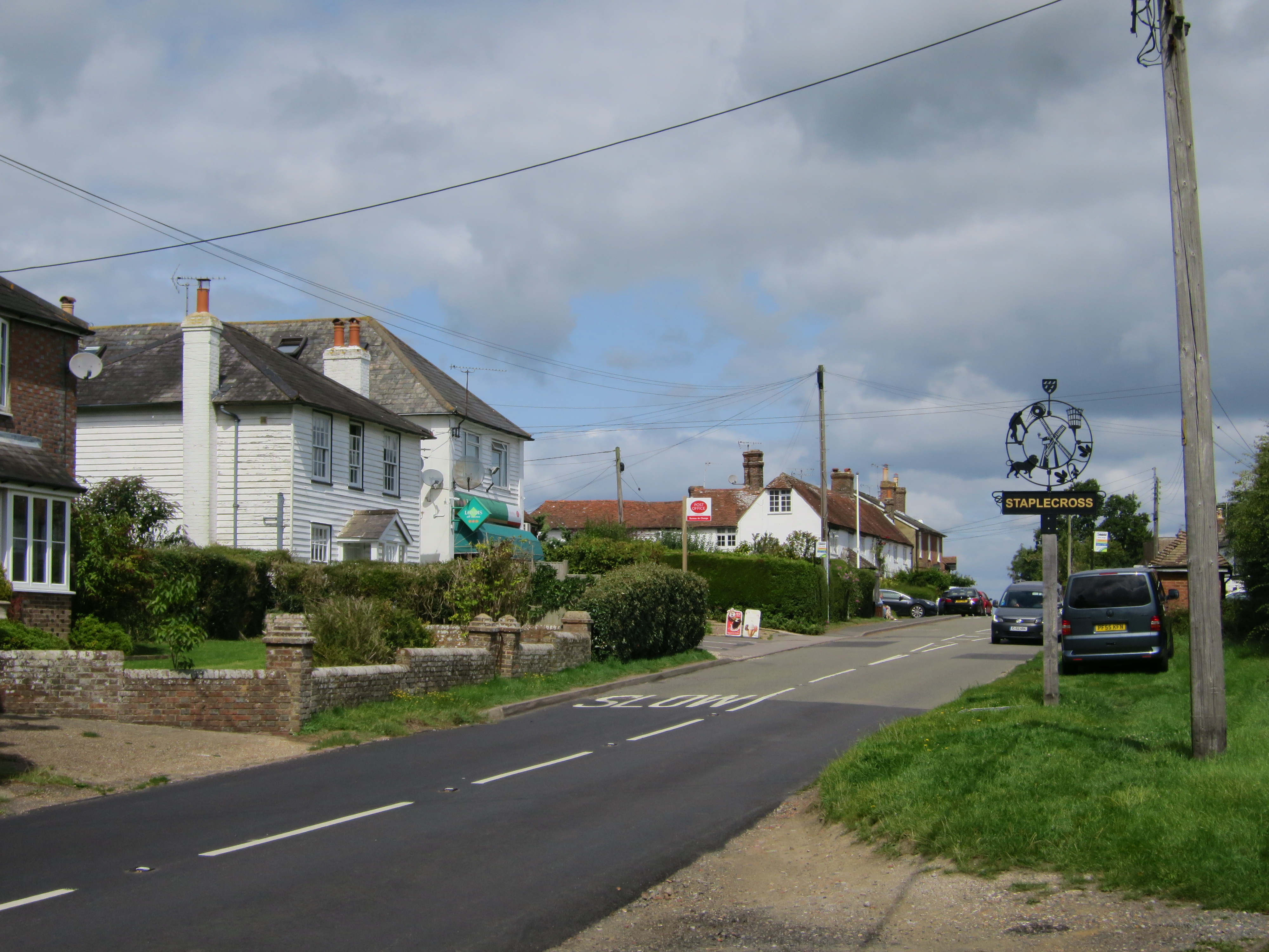
Staplecross

Staplecross is a village in the civil parish of Ewhurst and the Rother district of East Sussex, England. Staplecross is the largest settlement in Ewhurst...

Related Videos

Our first Easter egg hunt! Vlog #6 | Emilie King

Hope you all had a lovely Easter holiday!! Again, just a random vlog of us being weird :) Insta: - emilieking31 ...

OFFSET APPROACH and TRICKY LANDING! Piper PA32R-300 into SPILSTEAD FARM [HD Pilot VLOG | ATC Audio]

I take the Piper PA32R-300 Lance from Lee-on-Solent (EGHF) to Spilstead Farm for it's annual maintenance. Please note, this ...

Nearby Amenities

Located within 500m of 50.951996,0.52470371
Sedlescombe Organic Vineyard
Addr City: Cripps Corner
Addr Postcode: TN32 5SA
Addr Street: Hawkhurst Road
Shop: wine
Website: https://www.englishorganicwine.co.uk
Lat/Long: 50.9556324/0.5281303
Ford: yes
Lat/Long: 50.9486343/0.5208718
Barrier: stile
Lat/Long: 50.9554049/0.525217
The data included in this document is from www.openstreetmap.org. The data is made available under ODbL.

Have you been to Cinderbank Shaw?

Leave your review of Cinderbank Shaw below (or comments, questions and feedback).