Swattender Gill
Wood, Forest in Kent Tunbridge Wells
England
Swattender Gill

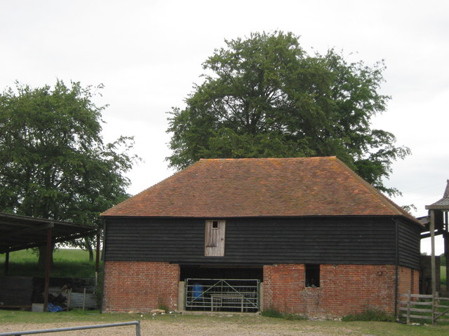
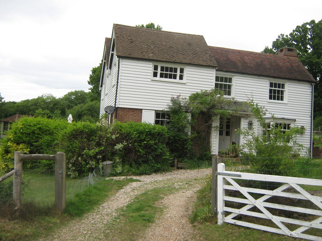
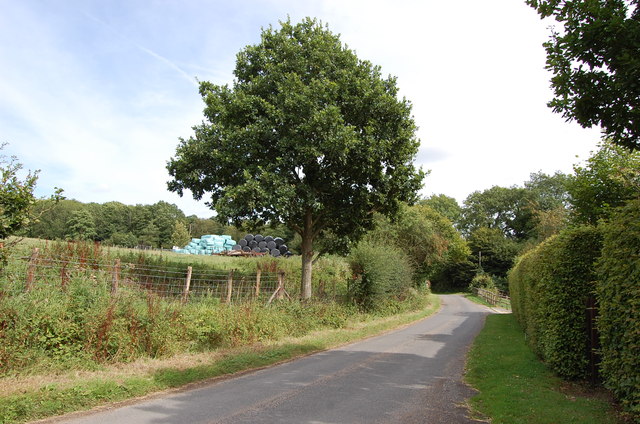
Swattender Gill, located in Kent, England, is a picturesque woodland area known for its serene beauty and lush greenery. The Gill is situated within the larger woodland of Kent, which covers a vast area of the county. This particular section of the wood is often referred to as Swattender Gill or sometimes simply as Swattender Wood.
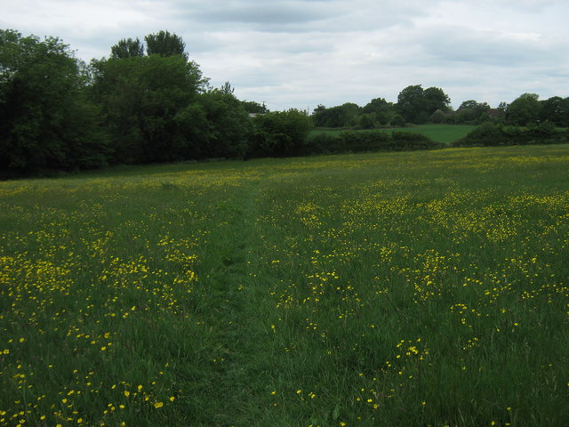
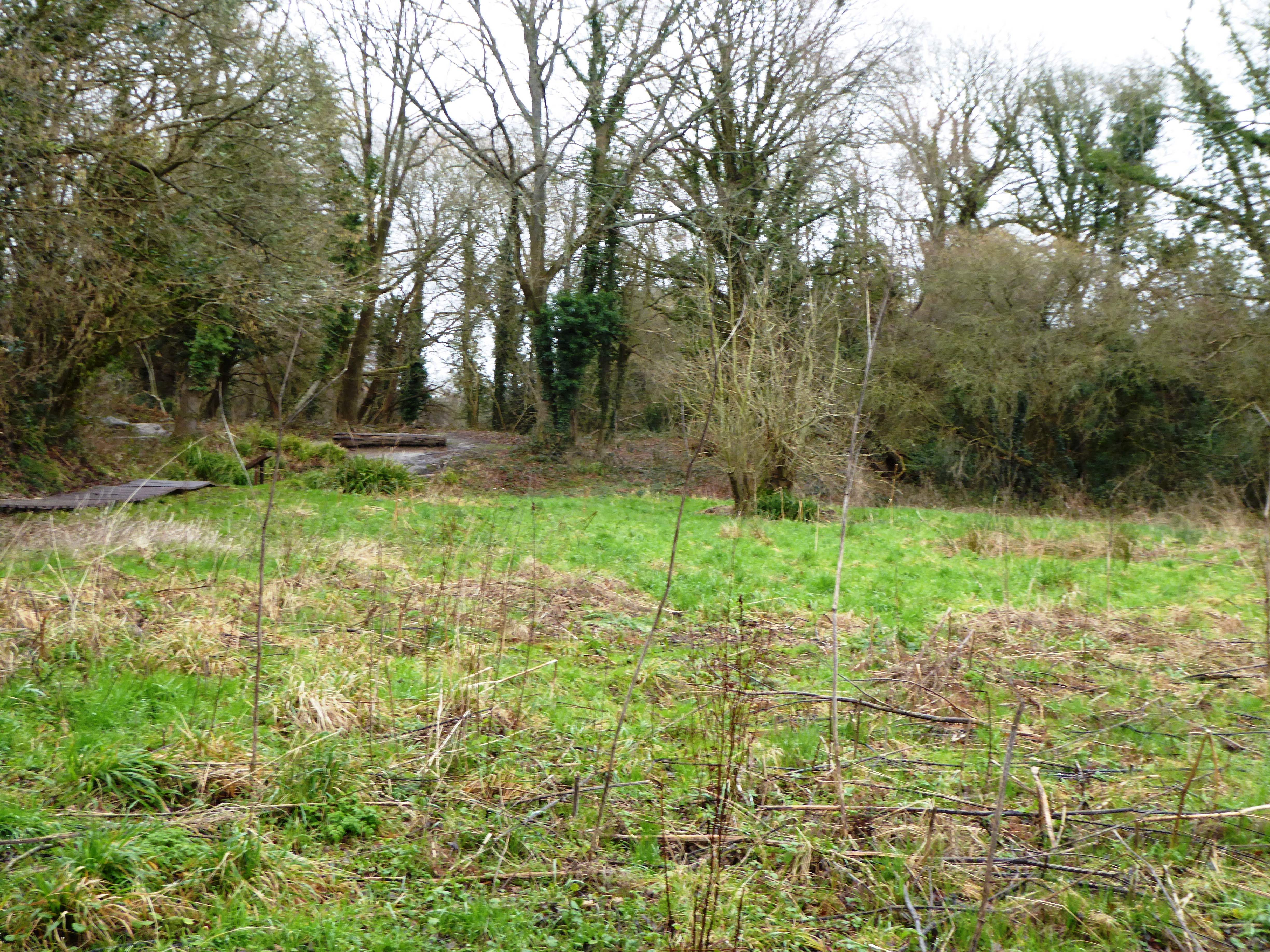
Swattender Gill is renowned for its diverse ecosystem, consisting of a variety of trees, plants, and wildlife. The wood is predominantly made up of oak and beech trees, providing a dense canopy that filters sunlight and creates a tranquil atmosphere. The forest floor is covered in a thick carpet of ferns and mosses, adding to the enchanting ambiance of the area.
This woodland gem offers an ideal habitat for numerous species of birds, insects, and small mammals. Visitors may catch a glimpse of squirrels darting among the branches or hear the melodious songs of various bird species. The peacefulness and seclusion of Swattender Gill make it a popular destination for nature enthusiasts, hikers, and photographers seeking to capture the beauty of the natural world.
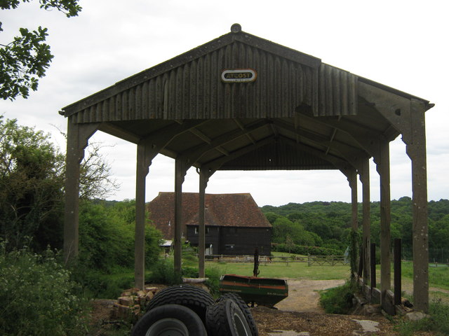
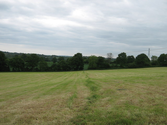
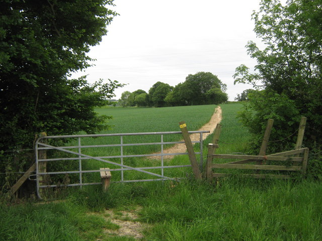
Swattender Gill is easily accessible, with well-maintained footpaths and trails winding through the wood. The area is also equipped with designated picnic spots and benches, allowing visitors to relax and immerse themselves in the tranquility of the surroundings.
Overall, Swattender Gill in Kent is a haven of natural beauty, offering a serene escape from the hustle and bustle of everyday life. Its diverse flora and fauna, coupled with its accessibility and peaceful ambiance, make it a cherished destination for all those seeking solace in nature.
If you have any feedback on the listing, please let us know in the comments section below.
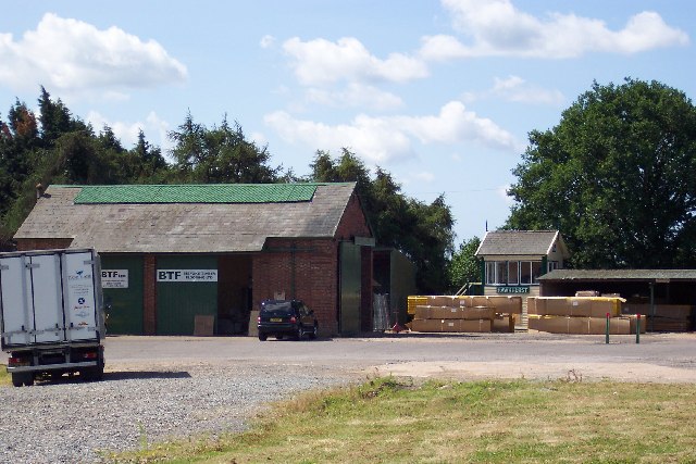
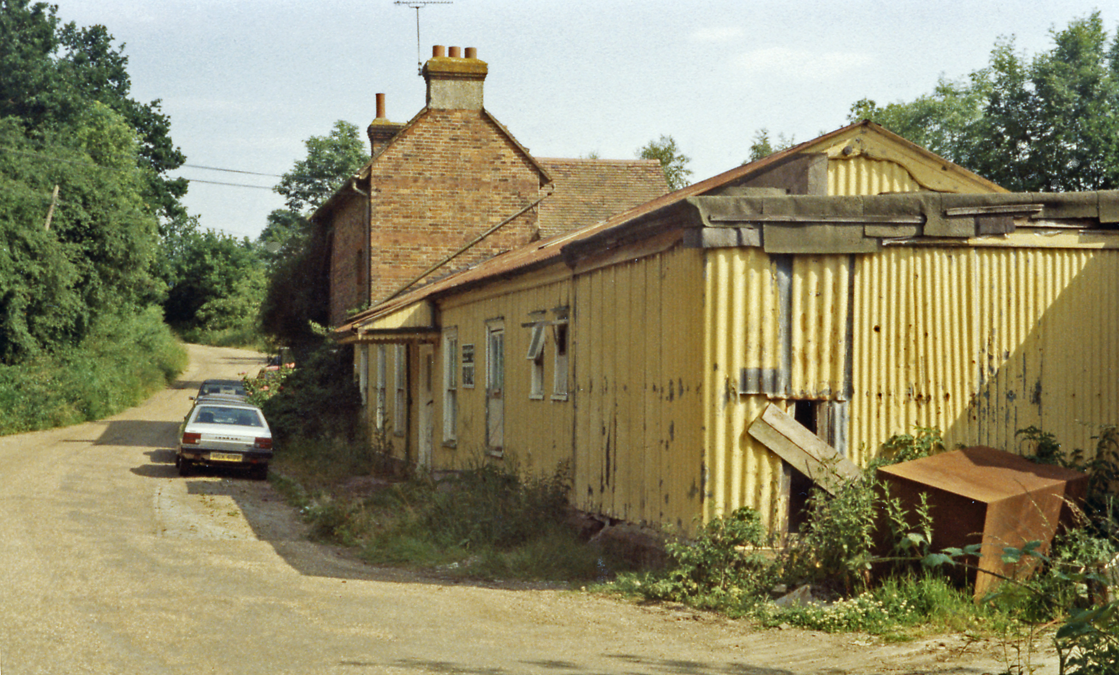
Swattender Gill Images
Images are sourced within 2km of 51.073956/0.53170904 or Grid Reference TQ7733. Thanks to Geograph Open Source API. All images are credited.


Swattender Gill is located at Grid Ref: TQ7733 (Lat: 51.073956, Lng: 0.53170904)
Administrative County: Kent
District: Tunbridge Wells
Police Authority: Kent
What 3 Words
///inflation.swordfish.liner. Near Cranbrook, Kent
Nearby Locations
Related Wikis

Robins Wood
Robins Wood is a 47.7-hectare (118-acre) biological Site of Special Scientific Interest between Tunbridge Wells and Ashford in Kent.This is a deep valley...

Swattenden
Swattenden is a small settlement in the parish of Cranbrook and Sissinghurst in England. It is situated on the B2086 (Swattenden Lane) about a mile from...
Hartley, Tunbridge Wells
Hartley is a village one mile southwest of Cranbrook in Kent, England. The only retailer in the area is a local farmshop, which has a cafe and fishmongers...
Crane Valley
Crane Valley is a 0.8-hectare (2.0-acre) Local Nature Reserve in Cranbrook in Kent. It is owned and managed by Tunbridge Wells Borough Council.Much of...
Hawkhurst railway station
Hawkhurst railway station was on the closed Hawkhurst Branch in Kent, England. == Background == The station was opened on 4 September 1893, when the line...
Cranbrook railway station (Kent)
Cranbrook railway station is a disused English station which was on the closed Hawkhurst Branch in Kent, England. == Background == The station was opened...
Cranbrook Rural District
Cranbrook was a rural district in Kent, England. In 1974 the district was merged into the Borough of Tunbridge Wells.The district covered Cranbrook and...

Parsonage Wood
Parsonage Wood is a 9.7-hectare (24-acre) biological Site of Special Scientific Interest south-east of Cranbrook in Kent. It is owned and managed by the...
Nearby Amenities
Located within 500m of 51.073956,0.53170904Have you been to Swattender Gill?
Leave your review of Swattender Gill below (or comments, questions and feedback).