Frogmore End

Settlement in Hertfordshire Dacorum

England

Frogmore End

Apsley Marina The old John Dickinson Paper Mills along the Grand Union were demolished in 2002 and replaced by canalside apartments and a marina for narrow boats.
Apsley Marina Credit: Christine Lloyd-Staples

Frogmore End is a small village located in the county of Hertfordshire, England. Situated approximately 3 miles east of Watford, it is nestled in the Chiltern Hills, providing residents and visitors with picturesque views of the surrounding countryside.

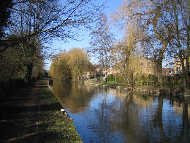
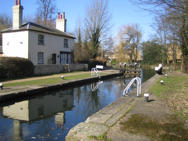
The village dates back to medieval times and is steeped in history. Its name is derived from the Old English words "frogga" and "mōr," meaning "frog marsh." This suggests that the area was once a wetland habitat for frogs, which is supported by the presence of several ponds and streams in the vicinity.

Although Frogmore End is primarily a residential area, it is known for its charming village atmosphere and tight-knit community. The village is home to a handful of traditional cottages and farmhouses, showcasing the architectural heritage of the region. The surrounding countryside offers ample opportunities for outdoor pursuits such as hiking, cycling, and horse riding.

Despite its rural setting, Frogmore End benefits from its proximity to major towns and cities. Watford provides residents with access to shopping centers, leisure facilities, and a range of amenities. The village is also well-connected in terms of transportation, with several major roads and motorways nearby.

For those seeking a peaceful and idyllic lifestyle in a rural setting, Frogmore End offers a perfect retreat. With its historical charm, natural beauty, and convenient location, the village attracts individuals and families looking to escape the hustle and bustle of city life while still enjoying easy access to urban amenities.

If you have any feedback on the listing, please let us know in the comments section below.
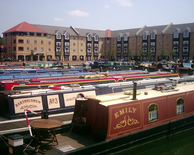
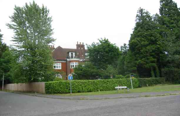
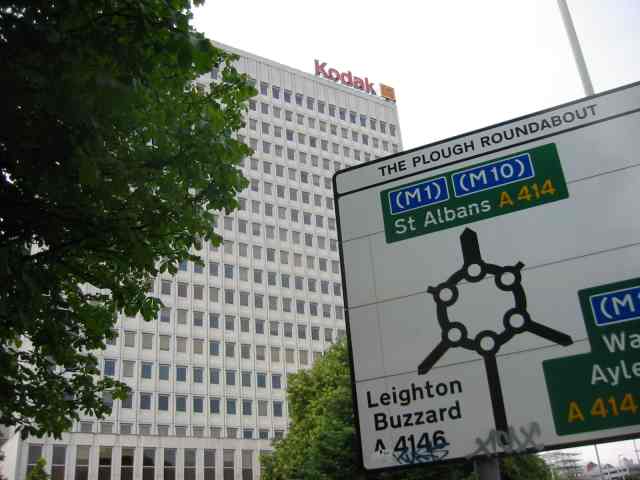
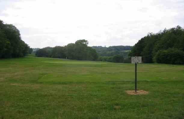
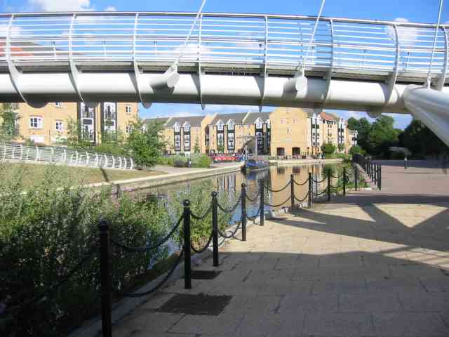
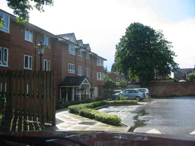
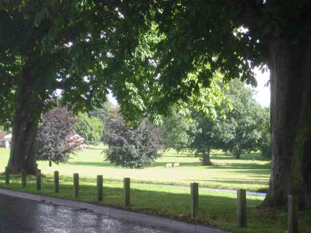
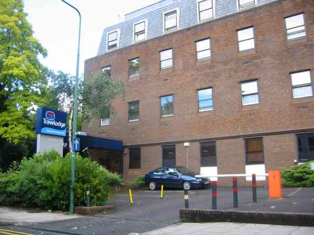
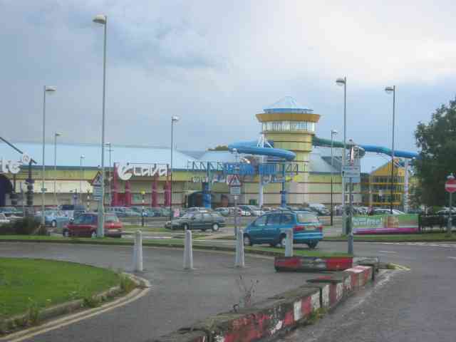
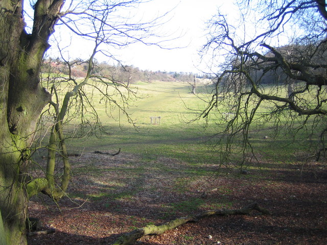
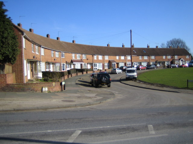
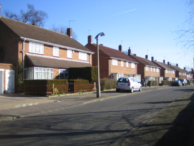
Frogmore End Images

Images are sourced within 2km of 51.739158/-0.46927051 or Grid Reference TL0505. Thanks to Geograph Open Source API. All images are credited.

Apsley Marina The old John Dickinson Paper Mills along the Grand Union were demolished in 2002 and replaced by canalside apartments and a marina for narrow boats.
Apsley Marina
The old John Dickinson Paper Mills along the Grand Union were demolished in 2002 and replaced by canalside apartments and a marina for narrow boats.
House overlooking common This house faces directly on to the Sheethanger Common.
House overlooking common
This house faces directly on to the Sheethanger Common.
The Roundabout  called " Magic", Hemel Hempstead Since drivers can go in either direction around the  roundabout it can be a nightmare for strangers. The minis help to make it understandable.
The Roundabout called " Magic", Hemel Hempstead
Since drivers can go in either direction around the roundabout it can be a nightmare for strangers. The minis help to make it understandable.
Boxmoor golf course Viewpoint from the highest part of the golf course.
Boxmoor golf course
Viewpoint from the highest part of the golf course.
Railway Station at Boxmoor for Hemel Hempstead Rather a brash announcement
Railway Station at Boxmoor for Hemel Hempstead
Rather a brash announcement
Fishery Inn Boxmoor This pub stands alongside the Grand Union Canal
Fishery Inn Boxmoor
This pub stands alongside the Grand Union Canal
The Harvester Inn, Boxmoor, Hemel Hempstead This pub is immediately adjacent to the station forecourt
The Harvester Inn, Boxmoor, Hemel Hempstead
This pub is immediately adjacent to the station forecourt
Pedestrian footbridge  at Apsley This is a very pleasing design for a crossing over the canal
Pedestrian footbridge at Apsley
This is a very pleasing design for a crossing over the canal
Housing development and Canal and footbridge at Kings Langley This photograph covers quite a lot of ground in one
Housing development and Canal and footbridge at Kings Langley
This photograph covers quite a lot of ground in one
Houses Hanover Green off Puller Road, Hemel Hempstead A new development of flats perhaps?
Houses Hanover Green off Puller Road, Hemel Hempstead
A new development of flats perhaps?
Green space in Boxmoor, Hemel Hempstead This open space reaches down to the canal and river.
Green space in Boxmoor, Hemel Hempstead
This open space reaches down to the canal and river.
Travelodge Hotel in Hemel Hempstead A useful place to know about if you live away from Hemel.
Travelodge Hotel in Hemel Hempstead
A useful place to know about if you live away from Hemel.
Entertainment centre  Bennetts End Hemel Hempstead The tubes tell me there is a swimming pool somewhere in that chunk of buildings
Entertainment centre Bennetts End Hemel Hempstead
The tubes tell me there is a swimming pool somewhere in that chunk of buildings
Hemel Hempstead: Long Deans Nature Reserve Long Deans Nature Reserve comprises this valley and the woodland to the right, and is managed by the Herts & Middlesex Wildlife Trust. Viewed looking north eastwards up the valley with Bunker's Lane to the left.
Hemel Hempstead: Long Deans Nature Reserve
Long Deans Nature Reserve comprises this valley and the woodland to the right, and is managed by the Herts & Middlesex Wildlife Trust. Viewed looking north eastwards up the valley with Bunker's Lane to the left.
Hemel Hempstead: Six Acres, Bennetts End The curved terraced housing in Six Acres, viewed from Barnacres Road.
Hemel Hempstead: Six Acres, Bennetts End
The curved terraced housing in Six Acres, viewed from Barnacres Road.
Hemel Hempstead: Kiln Ground, Bennetts End Post-war housing typical of Hemel Hempstead.
Hemel Hempstead: Kiln Ground, Bennetts End
Post-war housing typical of Hemel Hempstead.
Grand Union Canal: Nash Mills Viewed looking north westwards from Nash Mills Lock.
Grand Union Canal: Nash Mills
Viewed looking north westwards from Nash Mills Lock.
Grand Union Canal: Lock Number 68: Nash Mills Lock Lock Number 68 viewed looking north-westwards.
Grand Union Canal: Lock Number 68: Nash Mills Lock
Lock Number 68 viewed looking north-westwards.
Show me another place!

Frogmore End is located at Grid Ref: TL0505 (Lat: 51.739158, Lng: -0.46927051)

Administrative County: Hertfordshire

District: Dacorum

Police Authority: Hertfordshire

What 3 Words

///launch.rides.curvy. Near Hemel Hempstead, Hertfordshire

Related Wikis

Frogmore Paper Mill

Frogmore Paper Mill is a working paper mill situated in Apsley, Hertfordshire, near Hemel Hempstead. The mill is on an island in the River Gade, which...
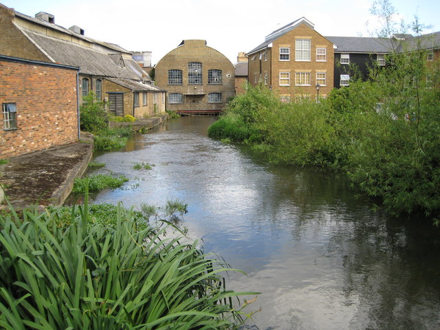
River Bulbourne

The River Bulbourne is a small river in Dacorum, Hertfordshire, England. The word bourne derives from the Anglo-Saxon word for a stream. It is an unnavigable...

Apsley, Hertfordshire

Apsley was a 19th-century mill village in the county of Hertfordshire, England. It is a historic industrial site situated in a valley of the Chiltern Hills...

The Beacon, Hemel Hempstead

The Beacon is a 17-storey block of 272 flats planned to be built in Hemel Hempstead, Hertfordshire, England. The developer Lumiere Developments claims...

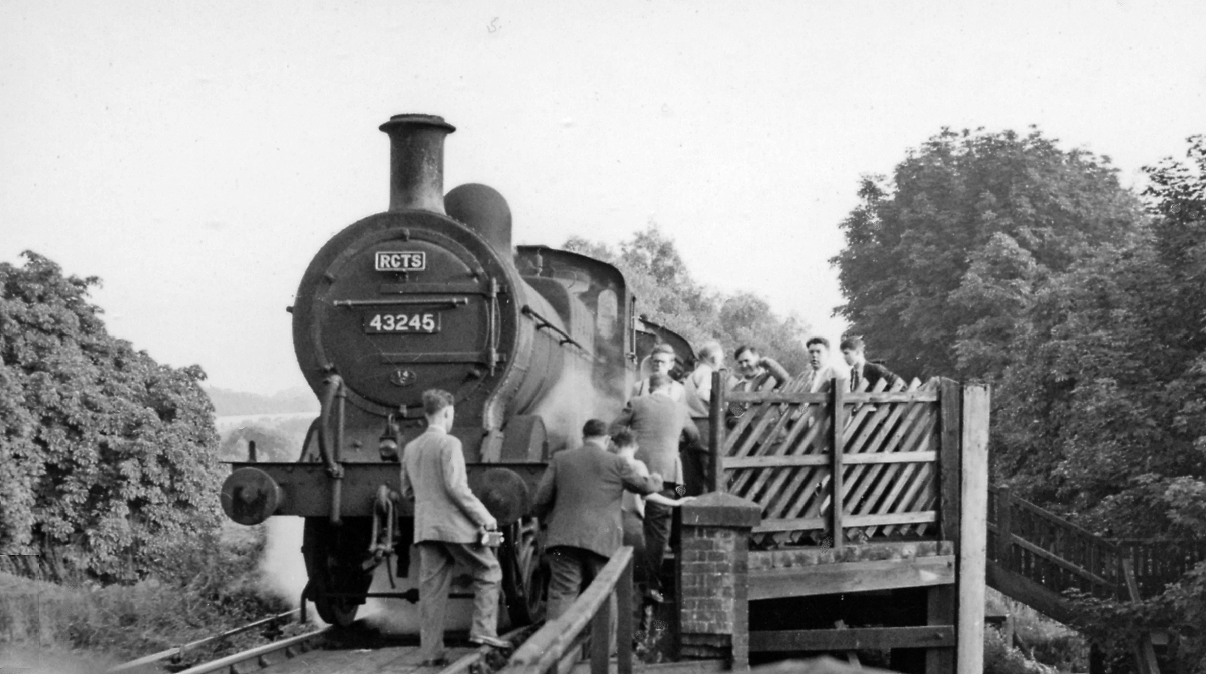
Heath Park Halt railway station

Heath Park Halt was a railway station in Hemel Hempstead, Hertfordshire in England, UK. It was the terminus for passenger services on the Nickey line,...

Apsley railway station

Apsley railway station is in Apsley, on the southern outskirts of Hemel Hempstead, Hertfordshire, England. One of two railway stations now serving the...

Magic Roundabout (Hemel Hempstead)

"The Magic Roundabout" in Hemel Hempstead, Hertfordshire, England, is the familiar name given to the Plough Roundabout. The familiar name comes from the...

St John's Church, Boxmoor

The Church of St John the Evangelist is a Grade II listed church in Boxmoor, Hertfordshire, England. The church was consecrated in 1874 on land purchased...

Nearby Amenities

Located within 500m of 51.739158,-0.46927051
Mini Roundabout
Direction: clockwise
Lat/Long: 51.7400261/-0.4654171
Traffic Signals
Lat/Long: 51.7406386/-0.4675071
Traffic Calming: hump
Lat/Long: 51.7411935/-0.466682
Traffic Calming: hump
Lat/Long: 51.741967/-0.4655474
Traffic Signals
Lat/Long: 51.7369521/-0.4679856
Crossing
Crossing: marked
Lat/Long: 51.7356772/-0.4652134
Toilets
Apsley Public Toilets
Lat/Long: 51.7390597/-0.4695346
Post Box
Brand: Royal Mail
Brand Wikidata: Q638098
Brand Wikipedia: en:Royal Mail
Collection Times: Mo-Fr 09:00; Sa 07:00
Operator: Royal Mail
Operator Wikidata: Q638098
Post Box Type: pillar
Ref: HP3 107
Royal Cypher: GR
Royal Cypher Wikidata: Q33102273
Source: survey
Survey Date: 2015-05-03
Lat/Long: 51.7369363/-0.4733286
Apsley
Is In Town: Hemel Hempstead
Place: suburb
Wikidata: Q940807
Lat/Long: 51.7366839/-0.4692074
Post Box
Brand: Royal Mail
Brand Wikidata: Q638098
Brand Wikipedia: en:Royal Mail
Collection Times: Mo-Fr 09:00; Sa 07:00
Operator: Royal Mail
Operator Wikidata: Q638098
Post Box Type: pillar
Ref: HP3 53
Royal Cypher: EIIR
Royal Cypher Wikidata: Q33102113
Source: survey
Survey Date: 2015-05-03
Lat/Long: 51.7394263/-0.4645932
Post Box
Brand: Royal Mail
Brand Wikidata: Q638098
Brand Wikipedia: en:Royal Mail
Collection Times: Mo-Fr 09:00; Sa 07:00
Operator: Royal Mail
Operator Wikidata: Q638098
Post Box Type: pillar
Ref: HP3 63
Royal Cypher: GR
Royal Cypher Wikidata: Q33102273
Source: survey
Survey Date: 2015-05-03
Lat/Long: 51.7430773/-0.4657729
Traffic Signals
Crossing: traffic_signals
Traffic Signals: signal
Lat/Long: 51.735327/-0.4664852
Bus Stop
Belswains Lane
Bus: yes
Naptan AtcoCode: 210021403000
Naptan Bearing: W
Naptan CommonName: Belswains Lane
Naptan Crossing: St Albans Hill
Naptan Indicator: W-bound
Naptan Landmark: St Albans Hill
Naptan NaptanCode: hrtdjtad
Naptan PlusbusZoneRef: HEMLHMP
Naptan ShortCommonName: NA
Naptan Street: Lawn Lane
Naptan Verified: no
Public Transport: platform
Source: naptan_import
Lat/Long: 51.7398973/-0.4656434
Bus Stop
Seaton Road
Bus: yes
Naptan AtcoCode: 210021403020
Naptan Bearing: NW
Naptan CommonName: Seaton Road
Naptan Crossing: Oram Place
Naptan Indicator: opp
Naptan Landmark: Oram Place
Naptan NaptanCode: hrtdjpmj
Naptan PlusbusZoneRef: HEMLHMP
Naptan ShortCommonName: NA
Naptan Street: Lawn Lane
Naptan Verified: no
Public Transport: platform
Source: naptan_import
Lat/Long: 51.7410917/-0.4682825
Bus Stop
Corner Hall
Bus: yes
Naptan AtcoCode: 210021403040
Naptan Bearing: NW
Naptan CommonName: Corner Hall
Naptan Crossing: opp Crabtree Lane
Naptan Indicator: adj
Naptan Landmark: opp Crabtree Lane
Naptan NaptanCode: hrtdjpmt
Naptan PlusbusZoneRef: HEMLHMP
Naptan ShortCommonName: NA
Naptan Street: Lawn Lane
Naptan Verified: no
Public Transport: platform
Source: naptan_import
Lat/Long: 51.7433207/-0.4713026
Bus Stop
Kents Avenue
Bus: yes
Naptan AtcoCode: 210021403580
Naptan Bearing: N
Naptan CommonName: Kents Avenue
Naptan Crossing: Weymouth Street
Naptan Indicator: adj
Naptan Landmark: Weymouth Street
Naptan NaptanCode: hrtdjpag
Naptan PlusbusZoneRef: HEMLHMP
Naptan ShortCommonName: NA
Naptan Street: London Road
Naptan Verified: no
Public Transport: platform
Shelter: no
Source: naptan_import
Lat/Long: 51.7363231/-0.4676196
Bus Stop
Two Waters Road
Bus: yes
Local Ref: NR
Naptan AtcoCode: 210021404520
Naptan Bearing: E
Naptan CommonName: Two Waters Road
Naptan Crossing: Two Waters Road
Naptan Indicator: nr
Naptan Landmark: Two Waters Road
Naptan NaptanCode: hrtdjmgw
Naptan PlusbusZoneRef: HEMLHMP
Naptan ShortCommonName: NA
Naptan Street: London Road
Naptan Verified: no
Public Transport: platform
Shelter: yes
Source: naptan_import
Lat/Long: 51.7396178/-0.4724892
Bus Stop
Manorville Road
Bus: yes
Naptan AtcoCode: 210021404530
Naptan Bearing: SW
Naptan BusStopType: CUS
Naptan CommonName: Manorville Road
Naptan Crossing: Gade View Road
Naptan Indicator: S-bound
Naptan Landmark: Gade View Road
Naptan NaptanCode: hrtdjgwp
Naptan PlusbusZoneRef: HEMLHMP
Naptan ShortCommonName: NA
Naptan Street: Manorville Road
Naptan Verified: no
Public Transport: platform
Source: naptan_import
Lat/Long: 51.7363028/-0.4748024
Bus Stop
Durrants Hill Road
Bus: yes
Local Ref: NR
Naptan AtcoCode: 210021404540
Naptan Bearing: SE
Naptan CommonName: Durrants Hill Road
Naptan Crossing: opp Orchard Street
Naptan Indicator: nr
Naptan Landmark: opp Orchard Street
Naptan NaptanCode: hrtdjgwt
Naptan PlusbusZoneRef: HEMLHMP
Naptan ShortCommonName: NA
Naptan Street: London Road
Naptan Verified: no
Public Transport: platform
Source: naptan_import
Lat/Long: 51.7386216/-0.4711262
Bus Stop
London Road
Bench: yes
Bin: no
Bus: yes
Lit: yes
Naptan AtcoCode: 210021404560
Naptan Bearing: N
Naptan CommonName: London Road
Naptan Crossing: River Bulbourne
Naptan Indicator: N-bound
Naptan Landmark: River Bulbourne
Naptan NaptanCode: hrtdjmad
Naptan PlusbusZoneRef: HEMLHMP
Naptan ShortCommonName: NA
Naptan Street: Two Waters Road
Naptan Verified: no
Public Transport: platform
Shelter: yes
Source: naptan_import
Tactile Paving: yes
Lat/Long: 51.7409504/-0.4747038
Bus Stop
London Road
Bench: yes
Bin: yes
Bus: yes
Lit: yes
Naptan AtcoCode: 210021404570
Naptan Bearing: S
Naptan CommonName: London Road
Naptan Crossing: River Bulbourne
Naptan Indicator: S-bound
Naptan Landmark: River Bulbourne
Naptan NaptanCode: hrtdjmaj
Naptan PlusbusZoneRef: HEMLHMP
Naptan ShortCommonName: NA
Naptan Street: Two Waters Road
Naptan Verified: no
Public Transport: platform
Shelter: yes
Source: naptan_import
Tactile Paving: yes
Lat/Long: 51.7416687/-0.4739229
Bus Stop
Durrants Hill Road
Bus: yes
Naptan AtcoCode: 210021408460
Naptan Bearing: NW
Naptan CommonName: Durrants Hill Road
Naptan Crossing: Featherbed Lane
Naptan Indicator: opp
Naptan Landmark: Featherbed Lane
Naptan NaptanCode: hrtdjadp
Naptan PlusbusZoneRef: HEMLHMP
Naptan ShortCommonName: NA
Naptan Street: London Road
Naptan Verified: no
Public Transport: platform
Shelter: yes
Source: naptan_import
Lat/Long: 51.7390069/-0.4718436
Bus Stop
Two Waters Road
Bus: yes
Naptan AtcoCode: 210021408500
Naptan Bearing: W
Naptan CommonName: Two Waters Road
Naptan Crossing: Riversend Road
Naptan Indicator: opp
Naptan Landmark: Riversend Road
Naptan NaptanCode: hrtdjadw
Naptan PlusbusZoneRef: HEMLHMP
Naptan ShortCommonName: NA
Naptan Street: London Road
Naptan Verified: no
Public Transport: platform
Source: naptan_import
Lat/Long: 51.7397806/-0.4739466
Bus Stop
Kents Avenue
Bus: yes
Naptan AtcoCode: 210021409220
Naptan Bearing: SE
Naptan CommonName: Kents Avenue
Naptan Crossing: Trading Estate
Naptan Indicator: opp
Naptan Landmark: Trading Estate
Naptan NaptanCode: hrtdgwgm
Naptan PlusbusZoneRef: HEMLHMP
Naptan ShortCommonName: NA
Naptan Street: London Road
Naptan Verified: no
Public Transport: platform
Shelter: no
Source: naptan_import
Lat/Long: 51.7360876/-0.4672496
Bus Stop
Seaton Road
Bus: yes
Naptan AtcoCode: 210021409920
Naptan Bearing: SE
Naptan CommonName: Seaton Road
Naptan Crossing: Seaton Road
Naptan Indicator: adj
Naptan Landmark: Seaton Road
Naptan NaptanCode: hrtdgtpg
Naptan PlusbusZoneRef: HEMLHMP
Naptan ShortCommonName: NA
Naptan Street: Lawn Lane
Naptan Verified: no
Public Transport: platform
Source: naptan_import
Lat/Long: 51.7420447/-0.4689475
Bus Stop
Belswains Lane
Bus: yes
Naptan AtcoCode: 210021409940
Naptan Bearing: E
Naptan CommonName: Belswains Lane
Naptan Crossing: Deaconsfield Road
Naptan Indicator: E-bound
Naptan Landmark: Deaconsfield Road
Naptan NaptanCode: hrtdgtpj
Naptan PlusbusZoneRef: HEMLHMP
Naptan ShortCommonName: NA
Naptan Street: Lawn Lane
Naptan Verified: no
Public Transport: platform
Source: naptan_import
Lat/Long: 51.7401213/-0.4662731
Fast Food
Cuisine: kebab
Lat/Long: 51.7390503/-0.4716397
Post Box
Brand: Royal Mail
Brand Wikidata: Q638098
Brand Wikipedia: en:Royal Mail
Collection Times: Mo-Fr 18:30; Sa 12:00
Operator: Royal Mail
Operator Wikidata: Q638098
Post Box Type: pillar
Ref: HP3 106
Royal Cypher: GR
Royal Cypher Wikidata: Q33102273
Source: survey
Survey Date: 2015-05-09
Lat/Long: 51.7389517/-0.4714847
The Paper Trail - The Paper Mill Museum
Operator: Frogmore Paper Mill
Tourism: museum
Website: https://frogmorepapermill.org.uk/
Lat/Long: 51.7385106/-0.4686076
Restaurant
K2 Indian Restaurant
Lat/Long: 51.7420871/-0.4734528
Seamark Type: gate
Waterway: lock_gate
Lat/Long: 51.7381714/-0.4657039
Eds
Building: garage
Shop: car_repair
Lat/Long: 51.7378624/-0.4720634
Traffic Signals
Lat/Long: 51.7403567/-0.4751602
Traffic Signals
Traffic Signals: signal
Lat/Long: 51.7399765/-0.4747268
Traffic Signals
Lat/Long: 51.7400643/-0.4752244
Traffic Signals
Lat/Long: 51.7402935/-0.4751838
Traffic Signals
Traffic Signals: signal
Traffic Signals Direction: forward
Lat/Long: 51.7385051/-0.4710471
Atm
Brand: Sainsbury's Bank
Brand Wikidata: Q7400525
Brand Wikipedia: en:Sainsbury's Bank
Cash In: no
Currency GBP: yes
Drive Through: no
Network: Link
Operator: Sainsbury's Bank
Operator Wikidata: Q7400525
Wheelchair: yes
Lat/Long: 51.7361337/-0.4647779
Shop: car_repair
Lat/Long: 51.7387008/-0.4717573
Fast Food
Apsley Chinese
Lat/Long: 51.7374876/-0.4685875
Traffic Signals
Lat/Long: 51.7400522/-0.4751351
Traffic Signals
Lat/Long: 51.7403084/-0.4747462
Traffic Signals
Lat/Long: 51.740068/-0.4747045
Traffic Signals
Lat/Long: 51.7403409/-0.4748392
Crossing
Crossing: traffic_signals
Lat/Long: 51.7402201/-0.4751739
Traffic Signals
Lat/Long: 51.7400013/-0.4750321
Pharmacy
Speedwell Pharmacy
Addr City: Hemel Hempstead
Addr Housenumber: 161
Addr Postcode: HP3 9SQ
Addr Street: London Road
Dispensing: yes
Drive Through: no
Email: info@speedwellpharmacy.co.uk
Fax: +44 1442 252082
Healthcare: pharmacy
Opening Hours: Mo-Tu 07:00-22:00; We-Th 07:45-22:00; Fr-Sa 08:00-22:00; Su 08:30-22:00
Phone: +44 1442 818181
Website: https://speedwellpharmacy.co.uk/
Lat/Long: 51.7376124/-0.4696809
Power: substation
Substation: minor_distribution
Lat/Long: 51.7378797/-0.4704166
Car Wash
Lat/Long: 51.7377764/-0.4701826
Parking
Lat/Long: 51.7367979/-0.4666581
Parking
Lat/Long: 51.7372763/-0.4680314
Crossing
Crossing: marked
Lat/Long: 51.735336/-0.4661103
Crossing
Crossing: marked
Lat/Long: 51.7356148/-0.4655828
Two Waters
Place: hamlet
Lat/Long: 51.7403136/-0.4739621
Seamark Type: gate
Waterway: lock_gate
Lat/Long: 51.7364137/-0.4638585
Seamark Type: gate
Waterway: lock_gate
Lat/Long: 51.738371/-0.4658987
Kindergarten
Flower Pots Day Nursery
Lat/Long: 51.7352506/-0.466721
Waterway: weir
Lat/Long: 51.7424355/-0.4725536
Cafe
Sunnyside Rural Trust
Lat/Long: 51.74219/-0.4720976
Farm Shop
Shop: greengrocer
Lat/Long: 51.74219/-0.4719903
Atm
Brand: Sainsbury's Bank
Brand Wikidata: Q7400525
Brand Wikipedia: en:Sainsbury's Bank
Cash In: no
Currency GBP: yes
Drive Through: no
Network: Link
Operator: Sainsbury's Bank
Operator Wikidata: Q7400525
Wheelchair: yes
Lat/Long: 51.7360972/-0.4648704
Traffic Signals
Traffic Signals: signal
Lat/Long: 51.7385425/-0.4712977
Traffic Signals
Traffic Signals: signal
Traffic Signals Direction: backward
Lat/Long: 51.7386765/-0.4712811
Crossing
Crossing: unmarked
Crossing Island: yes
Crossing Markings: no
Lat/Long: 51.7396366/-0.4728825
Barrier: bollard
Lat/Long: 51.738052/-0.4705745
Cafe
Denelm's Cafe
Cuisine: coffee_shop
Lat/Long: 51.7375875/-0.4672653
Traffic Calming: hump
Lat/Long: 51.7418577/-0.4685596
Traffic Calming: hump
Lat/Long: 51.7424019/-0.4674357
Traffic Calming: hump
Lat/Long: 51.7429153/-0.4663485
Bottle and Basket
Shop: alcohol
Lat/Long: 51.7375574/-0.4686733
Barrier: kissing_gate
Lat/Long: 51.7414531/-0.4744136
Barrier: kissing_gate
Lat/Long: 51.741914/-0.4737516
Fast Food
Subway
Addr City: Hemel Hempstead
Addr Housename: Shell Fuel
Addr Postcode: HP3 9SP
Addr Street: London Road
Brand: Subway
Brand Wikidata: Q244457
Brand Wikipedia: en:Subway (restaurant)
Contact Website: https://restaurants.subway.com/united-kingdom/en/hemel-hempstead/shell-apsley
Cuisine: sandwich
Drive Through: no
Opening Hours: Mo-Th 07:00-21:00; Fr 07:00-22:00; Sa 08:00-22:00; Su 08:00-21:00
Operator: Subway
Phone: +44 1442 215317
Takeaway: yes
Lat/Long: 51.7363728/-0.4670644
Crossing
Crossing: marked
Lat/Long: 51.7358926/-0.4647989
Addr Postcode: HP3 0FP
Building: yes
Lat/Long: 51.7348626/-0.469488
Restaurant
Bull Rodizio
Cuisine: international
Lat/Long: 51.7384681/-0.4704182
Sanitary Dump Station
Apsley Services Elsan Point
Access: permissive
Centralkey: no
Operator: Canal and River Trust
Sanitary Dump Station: yes
Sanitary Dump Station Accepted: black_water
Sanitary Dump Station Basin: yes
Sanitary Dump Station Pump-out: yes
Waste: toilet
Waterway: sanitary_dump_station
Lat/Long: 51.7367475/-0.4639861
Water Point
Apsley Services Water Point
Access: permissive
Drinking Water: yes
Man Made: water_tap
Operator: Canal and River Trust
Waterway: water_point
Lat/Long: 51.736723/-0.4639603
Waste Disposal
Apsley Services Rubbish Disposal
Access: permissive
Centralkey: no
Operator: Canal and River Trust
Waste: trash
Waterway: waste_disposal
Lat/Long: 51.73667/-0.4638046
Direction: 225
Generator Method: photovoltaic
Generator Output Electricity: yes
Generator Solar Modules: 16
Generator Source: solar
Generator Type: solar_photovoltaic_panel
Location: roof
Power: generator
Lat/Long: 51.7350111/-0.4701336
Direction: 210
Generator Method: photovoltaic
Generator Output Electricity: yes
Generator Solar Modules: 23
Generator Source: solar
Generator Type: solar_photovoltaic_panel
Location: roof
Power: generator
Lat/Long: 51.7359086/-0.4741127
Direction: 140
Generator Method: photovoltaic
Generator Output Electricity: yes
Generator Solar Modules: 3
Generator Source: solar
Generator Type: solar_photovoltaic_panel
Location: roof
Power: generator
Lat/Long: 51.7357977/-0.4704
Direction: 140
Generator Method: photovoltaic
Generator Output Electricity: yes
Generator Solar Modules: 3
Generator Source: solar
Generator Type: solar_photovoltaic_panel
Location: roof
Power: generator
Lat/Long: 51.7355549/-0.4699433
Direction: 320
Generator Method: photovoltaic
Generator Output Electricity: yes
Generator Solar Modules: 2
Generator Source: solar
Generator Type: solar_photovoltaic_panel
Location: roof
Power: generator
Lat/Long: 51.7355609/-0.469956
Direction: 205
Generator Method: photovoltaic
Generator Output Electricity: yes
Generator Solar Modules: 9
Generator Source: solar
Generator Type: solar_photovoltaic_panel
Location: roof
Power: generator
Lat/Long: 51.7386458/-0.466166
Direction: 240
Generator Method: photovoltaic
Generator Output Electricity: yes
Generator Solar Modules: 33
Generator Source: solar
Generator Type: solar_photovoltaic_panel
Location: roof
Power: generator
Lat/Long: 51.737653/-0.4647572
Direction: 240
Generator Method: photovoltaic
Generator Output Electricity: yes
Generator Solar Modules: 33
Generator Source: solar
Generator Type: solar_photovoltaic_panel
Location: roof
Power: generator
Lat/Long: 51.7374735/-0.4645646
Direction: 240
Generator Method: photovoltaic
Generator Output Electricity: yes
Generator Solar Modules: 2
Generator Source: solar
Generator Type: solar_photovoltaic_panel
Location: roof
Power: generator
Lat/Long: 51.7378708/-0.4643916
Direction: 240
Generator Method: photovoltaic
Generator Output Electricity: yes
Generator Solar Modules: 2
Generator Source: solar
Generator Type: solar_photovoltaic_panel
Location: roof
Power: generator
Lat/Long: 51.7378373/-0.4643527
Direction: 240
Generator Method: photovoltaic
Generator Output Electricity: yes
Generator Solar Modules: 2
Generator Source: solar
Generator Type: solar_photovoltaic_panel
Location: roof
Power: generator
Lat/Long: 51.7377999/-0.4643183
Direction: 240
Generator Method: photovoltaic
Generator Output Electricity: yes
Generator Solar Modules: 2
Generator Source: solar
Generator Type: solar_photovoltaic_panel
Location: roof
Power: generator
Lat/Long: 51.737755/-0.4642687
Direction: 240
Generator Method: photovoltaic
Generator Output Electricity: yes
Generator Solar Modules: 2
Generator Source: solar
Generator Type: solar_photovoltaic_panel
Location: roof
Power: generator
Lat/Long: 51.7377308/-0.4642419
Direction: 240
Generator Method: photovoltaic
Generator Output Electricity: yes
Generator Solar Modules: 2
Generator Source: solar
Generator Type: solar_photovoltaic_panel
Location: roof
Power: generator
Lat/Long: 51.7376863/-0.4641892
Direction: 240
Generator Method: photovoltaic
Generator Output Electricity: yes
Generator Solar Modules: 2
Generator Source: solar
Generator Type: solar_photovoltaic_panel
Location: roof
Power: generator
Lat/Long: 51.7376504/-0.4641639
Direction: 240
Generator Method: photovoltaic
Generator Output Electricity: yes
Generator Solar Modules: 2
Generator Source: solar
Generator Type: solar_photovoltaic_panel
Location: roof
Power: generator
Lat/Long: 51.7376016/-0.4641143
Direction: 240
Generator Method: photovoltaic
Generator Output Electricity: yes
Generator Solar Modules: 2
Generator Source: solar
Generator Type: solar_photovoltaic_panel
Location: roof
Power: generator
Lat/Long: 51.7375751/-0.4640929
Direction: 215
Generator Method: photovoltaic
Generator Output Electricity: yes
Generator Solar Modules: 13
Generator Source: solar
Generator Type: solar_photovoltaic_panel
Location: roof
Power: generator
Lat/Long: 51.7386629/-0.4634905
Traffic Calming: island
Lat/Long: 51.7405787/-0.4676015
Traffic Calming: hump
Lat/Long: 51.7407784/-0.4672954
Traffic Calming: hump
Lat/Long: 51.7424397/-0.4648567
Traffic Calming: hump
Lat/Long: 51.7428042/-0.4652134
Traffic Calming: island
Lat/Long: 51.7399499/-0.465297
Traffic Calming: island
Lat/Long: 51.740063/-0.4653149
Traffic Calming: island
Lat/Long: 51.7399807/-0.4655727
Direction: 220
Generator Method: photovoltaic
Generator Output Electricity: yes
Generator Solar Modules: 16
Generator Source: solar
Generator Type: solar_photovoltaic_panel
Location: roof
Power: generator
Lat/Long: 51.740699/-0.4645169
Traffic Calming: island
Lat/Long: 51.73987/-0.473829
Crossing
Crossing: unmarked
Crossing Island: yes
Crossing Markings: no
Tactile Paving: yes
Lat/Long: 51.7390944/-0.4718803
Crossing
Crossing: unmarked
Crossing Island: yes
Crossing Markings: no
Tactile Paving: yes
Lat/Long: 51.7391652/-0.4721594
Crossing
Crossing: unmarked
Crossing Island: yes
Crossing Markings: no
Lat/Long: 51.7382202/-0.4704997
Direction: 235
Generator Method: photovoltaic
Generator Output Electricity: yes
Generator Solar Modules: 6
Generator Source: solar
Generator Type: solar_photovoltaic_panel
Location: roof
Power: generator
Lat/Long: 51.742743/-0.4670667
Direction: 145
Fixme: survey for panel count
Generator Method: photovoltaic
Generator Output Electricity: yes
Generator Solar Modules: 6
Generator Source: solar
Generator Type: solar_photovoltaic_panel
Location: roof
Power: generator
Lat/Long: 51.7427484/-0.4670129
Traffic Calming: hump
Lat/Long: 51.7434226/-0.4681233
Traffic Calming: hump
Lat/Long: 51.7432074/-0.4688669
Traffic Calming: island
Lat/Long: 51.7428454/-0.4699801
Generator Method: photovoltaic
Generator Output Electricity: yes
Generator Solar Modules: 192
Generator Source: solar
Generator Type: solar_photovoltaic_panel
Location: roof
Power: generator
Tilted: no
Lat/Long: 51.7397049/-0.4759462
Direction: 130
Generator Method: photovoltaic
Generator Output Electricity: yes
Generator Solar Modules: 8
Generator Source: solar
Generator Type: solar_photovoltaic_panel
Location: roof
Power: generator
Lat/Long: 51.7417889/-0.464737
Direction: 130
Generator Method: photovoltaic
Generator Output Electricity: yes
Generator Solar Modules: 3
Generator Source: solar
Generator Type: solar_photovoltaic_panel
Location: roof
Power: generator
Lat/Long: 51.7431944/-0.466184
Direction: 130
Generator Method: photovoltaic
Generator Output Electricity: yes
Generator Solar Modules: 3
Generator Source: solar
Generator Type: solar_photovoltaic_panel
Location: roof
Power: generator
Lat/Long: 51.7430836/-0.4663343
Direction: 130
Generator Method: photovoltaic
Generator Output Electricity: yes
Generator Solar Modules: 5
Generator Source: solar
Generator Type: solar_photovoltaic_panel
Location: roof
Power: generator
Lat/Long: 51.7431174/-0.4662876
Direction: 130
Generator Method: photovoltaic
Generator Output Electricity: yes
Generator Solar Modules: 5
Generator Source: solar
Generator Type: solar_photovoltaic_panel
Location: roof
Power: generator
Lat/Long: 51.7431635/-0.4662291
Direction: 140
Generator Method: photovoltaic
Generator Output Electricity: yes
Generator Solar Modules: 3
Generator Source: solar
Generator Type: solar_photovoltaic_panel
Location: roof
Power: generator
Lat/Long: 51.7428251/-0.4667685
Direction: 140
Generator Method: photovoltaic
Generator Output Electricity: yes
Generator Solar Modules: 3
Generator Source: solar
Generator Type: solar_photovoltaic_panel
Location: roof
Power: generator
Lat/Long: 51.742469/-0.4676341
Direction: 140
Generator Method: photovoltaic
Generator Output Electricity: yes
Generator Solar Modules: 3
Generator Source: solar
Generator Type: solar_photovoltaic_panel
Location: roof
Power: generator
Lat/Long: 51.7422228/-0.4680453
Direction: 140
Generator Method: photovoltaic
Generator Output Electricity: yes
Generator Solar Modules: 3
Generator Source: solar
Generator Type: solar_photovoltaic_panel
Location: roof
Power: generator
Lat/Long: 51.7419369/-0.4679517
Direction: 140
Generator Method: photovoltaic
Generator Output Electricity: yes
Generator Solar Modules: 3
Generator Source: solar
Generator Type: solar_photovoltaic_panel
Location: roof
Power: generator
Lat/Long: 51.7420311/-0.467759
Direction: 140
Generator Method: photovoltaic
Generator Output Electricity: yes
Generator Solar Modules: 3
Generator Source: solar
Generator Type: solar_photovoltaic_panel
Location: roof
Power: generator
Lat/Long: 51.7420889/-0.4676385
Direction: 140
Generator Method: photovoltaic
Generator Output Electricity: yes
Generator Solar Modules: 3
Generator Source: solar
Generator Type: solar_photovoltaic_panel
Location: roof
Power: generator
Lat/Long: 51.7423658/-0.4669707
Direction: 140
Generator Method: photovoltaic
Generator Output Electricity: yes
Generator Solar Modules: 3
Generator Source: solar
Generator Type: solar_photovoltaic_panel
Location: roof
Power: generator
Lat/Long: 51.7425405/-0.4666795
Direction: 140
Generator Method: photovoltaic
Generator Output Electricity: yes
Generator Solar Modules: 3
Generator Source: solar
Generator Type: solar_photovoltaic_panel
Location: roof
Power: generator
Lat/Long: 51.7426286/-0.4664923
Direction: 140
Generator Method: photovoltaic
Generator Output Electricity: yes
Generator Solar Modules: 3
Generator Source: solar
Generator Type: solar_photovoltaic_panel
Location: roof
Power: generator
Lat/Long: 51.7426856/-0.4663613
Direction: 130
Generator Method: photovoltaic
Generator Output Electricity: yes
Generator Solar Modules: 5
Generator Source: solar
Generator Type: solar_photovoltaic_panel
Location: roof
Power: generator
Lat/Long: 51.7429396/-0.4658432
Direction: 140
Generator Method: photovoltaic
Generator Output Electricity: yes
Generator Solar Modules: 5
Generator Source: solar
Generator Type: solar_photovoltaic_panel
Location: roof
Power: generator
Lat/Long: 51.7427168/-0.4663026
Direction: 140
Generator Method: photovoltaic
Generator Output Electricity: yes
Generator Solar Modules: 5
Generator Source: solar
Generator Type: solar_photovoltaic_panel
Location: roof
Power: generator
Lat/Long: 51.7426014/-0.4665467
Direction: 140
Generator Method: photovoltaic
Generator Output Electricity: yes
Generator Solar Modules: 5
Generator Source: solar
Generator Type: solar_photovoltaic_panel
Location: roof
Power: generator
Lat/Long: 51.7425672/-0.4666192
Direction: 140
Generator Method: photovoltaic
Generator Output Electricity: yes
Generator Solar Modules: 5
Generator Source: solar
Generator Type: solar_photovoltaic_panel
Location: roof
Power: generator
Lat/Long: 51.7423949/-0.4669112
Direction: 140
Generator Method: photovoltaic
Generator Output Electricity: yes
Generator Solar Modules: 5
Generator Source: solar
Generator Type: solar_photovoltaic_panel
Location: roof
Power: generator
Lat/Long: 51.7421189/-0.4675719
Direction: 140
Generator Method: photovoltaic
Generator Output Electricity: yes
Generator Solar Modules: 5
Generator Source: solar
Generator Type: solar_photovoltaic_panel
Location: roof
Power: generator
Lat/Long: 51.7421932/-0.4680971
Direction: 140
Generator Method: photovoltaic
Generator Output Electricity: yes
Generator Solar Modules: 5
Generator Source: solar
Generator Type: solar_photovoltaic_panel
Location: roof
Power: generator
Lat/Long: 51.7424874/-0.4675686
Direction: 140
Generator Method: photovoltaic
Generator Output Electricity: yes
Generator Solar Modules: 5
Generator Source: solar
Generator Type: solar_photovoltaic_panel
Location: roof
Power: generator
Lat/Long: 51.7425196/-0.4674935
Toilets
Access: customers
Lat/Long: 51.7361514/-0.4649234
Veterinary
Commpanion Care Vets
Lat/Long: 51.7392058/-0.4741793
Traffic Signals
Traffic Signals: signal
Lat/Long: 51.7390065/-0.4694409
Crossing
Lat/Long: 51.7389759/-0.4694807
Traffic Signals
Traffic Signals: signal
Lat/Long: 51.7386621/-0.4698681
Traffic Calming: island
Lat/Long: 51.7400251/-0.4747919
Traffic Calming: island
Lat/Long: 51.7400547/-0.4749335
Traffic Calming: island
Lat/Long: 51.7401078/-0.4751662
Crossing
Crossing: traffic_signals
Lat/Long: 51.739969/-0.4747598
Crossing
Crossing: traffic_signals
Lat/Long: 51.7400481/-0.4748946
Crossing
Crossing: traffic_signals
Lat/Long: 51.7400724/-0.4749868
Crossing
Crossing: traffic_signals
Lat/Long: 51.7400987/-0.475112
Crossing
Crossing: traffic_signals
Lat/Long: 51.7401009/-0.4752405
Traffic Calming: island
Lat/Long: 51.7401232/-0.4746875
Traffic Calming: island
Lat/Long: 51.7402333/-0.4746707
Crossing
Crossing: traffic_signals
Lat/Long: 51.7402416/-0.474614
Crossing
Crossing: uncontrolled
Lat/Long: 51.7401362/-0.4746855
Crossing
Crossing: traffic_signals
Lat/Long: 51.7400739/-0.4747236
Traffic Calming: island
Lat/Long: 51.7403144/-0.4749185
Traffic Calming: island
Lat/Long: 51.740327/-0.4750521
Crossing
Crossing: traffic_signals
Lat/Long: 51.7402819/-0.4747612
Crossing
Crossing: traffic_signals
Lat/Long: 51.7403051/-0.4748609
Crossing
Crossing: traffic_signals
Lat/Long: 51.7403215/-0.4749928
Crossing
Crossing: traffic_signals
Lat/Long: 51.7403799/-0.4750883
Traffic Calming: island
Lat/Long: 51.7402497/-0.4751635
Crossing
Crossing: traffic_signals
Lat/Long: 51.7402752/-0.4751267
Traffic Calming: island
Lat/Long: 51.7400797/-0.4750233
Fireplace shop
Shop: yes
Lat/Long: 51.7386158/-0.4713259
Traffic Calming: bump
Lat/Long: 51.7377392/-0.4706951
Traffic Signals
Traffic Signals: signal
Lat/Long: 51.7402709/-0.4746376
Barrier: large_block
Lat/Long: 51.7375848/-0.4755787
The data included in this document is from www.openstreetmap.org. The data is made available under ODbL.

Have you been to Frogmore End?

Leave your review of Frogmore End below (or comments, questions and feedback).