Frogsmarsh

Settlement in Worcestershire Malvern Hills

England

Frogsmarsh

M50 looking west near Pendock
M50 looking west near Pendock Credit: Colin Pyle

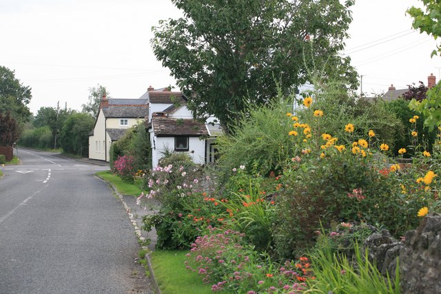
Frogsmarsh is a charming village located in the county of Worcestershire, England. Situated amidst the rolling hills and picturesque countryside, it is a haven for those seeking a peaceful and idyllic setting. The village is conveniently positioned just five miles south of the bustling city of Worcester, providing residents with easy access to various amenities and services.

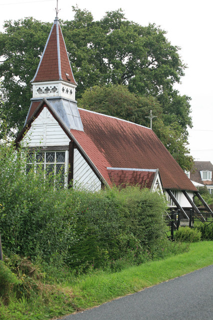
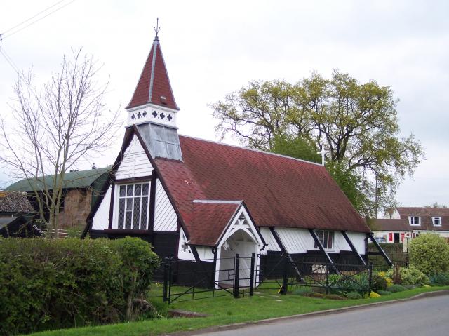
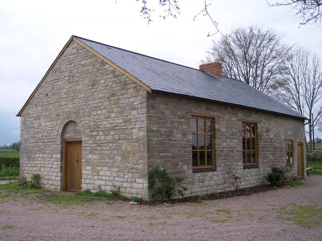
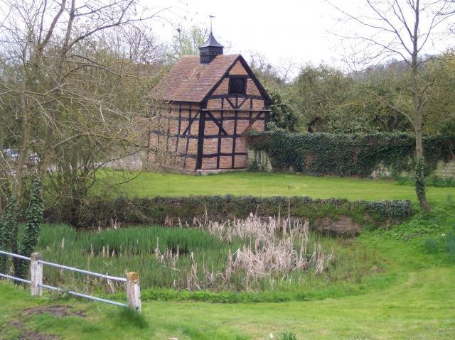
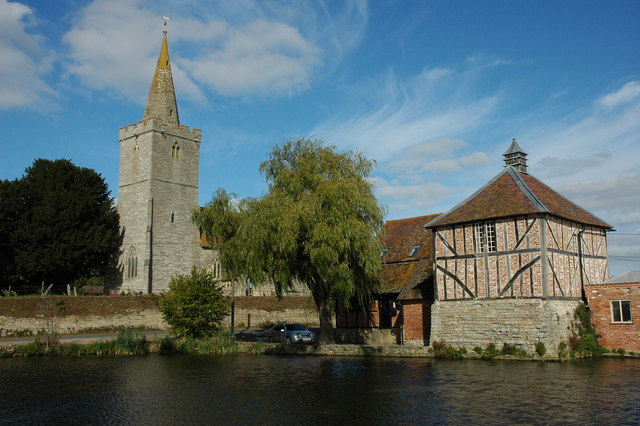
Known for its rich history, Frogsmarsh boasts several historic buildings that add character to the village. The centerpiece is the St. Mary's Church, a beautiful medieval structure dating back to the 12th century. Its intricate architecture and stained glass windows are a testament to the village's heritage. Additionally, Frogsmarsh Manor, a Grade II listed building, stands as a reminder of the area's past.

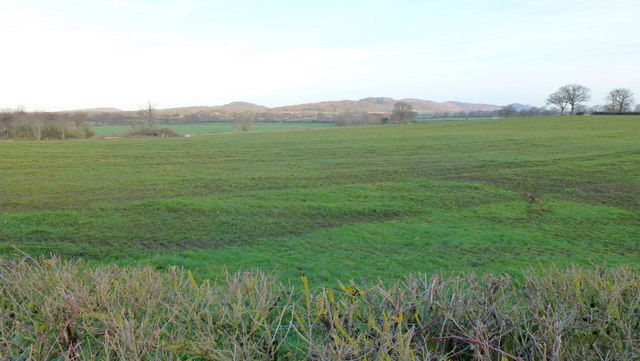
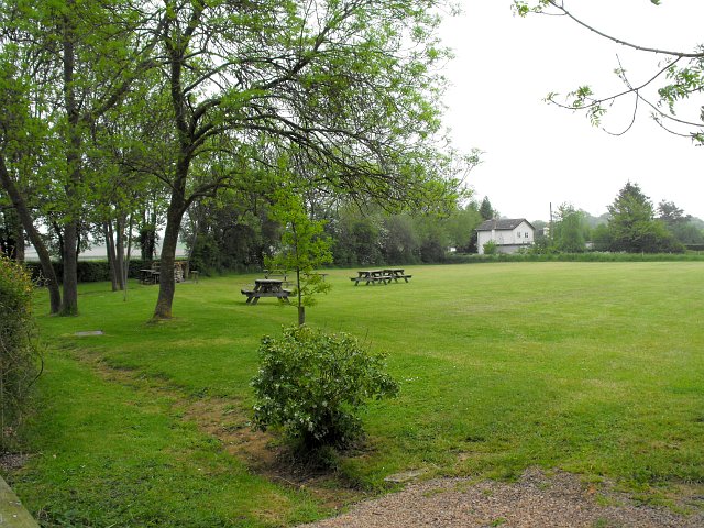
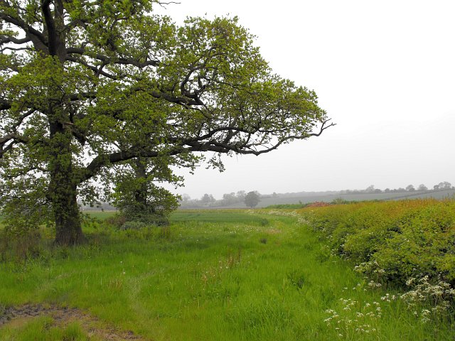
Nature enthusiasts will find themselves captivated by the surrounding countryside. The village is enveloped by lush green fields, meandering streams, and enchanting woodland areas, making it an ideal base for exploring the great outdoors. The nearby Malvern Hills offer breathtaking vistas and a range of walking paths, attracting hikers and nature lovers from far and wide.

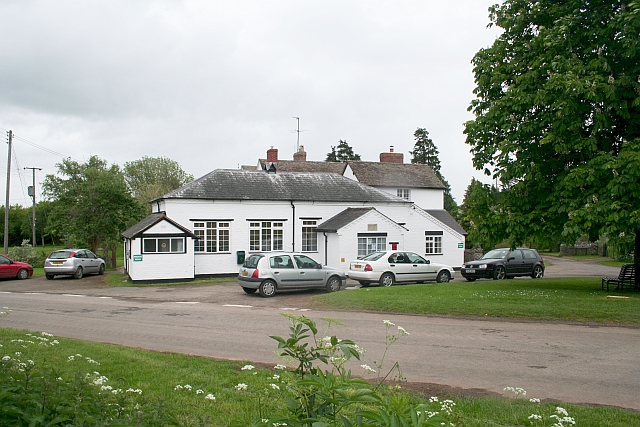
Despite its small size, Frogsmarsh is a close-knit community with a strong sense of camaraderie. The village hosts various events throughout the year, including fetes, markets, and community gatherings, fostering a warm and friendly atmosphere. Local amenities include a village shop, a quaint pub serving traditional fare, and a primary school, ensuring that residents have everything they need within reach.

In summary, Frogsmarsh is a delightful village that combines history, natural beauty, and a tight-knit community. With its tranquil setting and proximity to larger towns, it offers the perfect balance of rural serenity and access to modern conveniences.

If you have any feedback on the listing, please let us know in the comments section below.
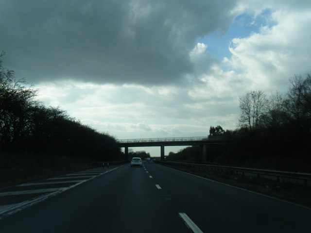
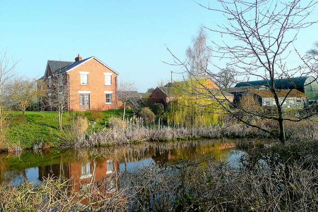
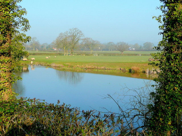
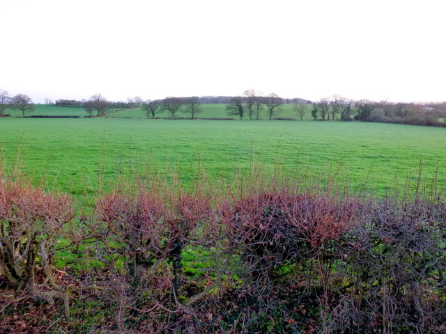
Frogsmarsh Images

Images are sourced within 2km of 51.989725/-2.3027431 or Grid Reference SO7932. Thanks to Geograph Open Source API. All images are credited.

M50 looking west near Pendock
Cromer Pit Pond, Pendock In bright March sunshine.
Cromer Pit Pond, Pendock
In bright March sunshine.
Cromer Pit Pond, Pendock Looking across the pond on a March morning and hearing the M50 traffic, just visible, beyond.
Cromer Pit Pond, Pendock
Looking across the pond on a March morning and hearing the M50 traffic, just visible, beyond.
St. John the Baptist's church, Eldersfield Viewed from the laburnum-clad lychgate.
The gridline intersects the east wall of the chancel.
St. John the Baptist's church, Eldersfield
Viewed from the laburnum-clad lychgate. The gridline intersects the east wall of the chancel.
View towards Berrow Wood Shot at dawn; the pastoral landscape is typical of South Worcestershire.
View towards Berrow Wood
Shot at dawn; the pastoral landscape is typical of South Worcestershire.
St. Faith's church, Berrow A scattered country parish in South Worcestershire.
The first rays of the day's sunlight are catching the east window.
St. Faith's church, Berrow
A scattered country parish in South Worcestershire. The first rays of the day's sunlight are catching the east window.
Village hall and tree The epicentre of the scattered parish of Berrow.
Village hall and tree
The epicentre of the scattered parish of Berrow.
Rape crop and a view to the Malvern Hills Pre-sunrise shot from Berrow.
Rape crop and a view to the Malvern Hills
Pre-sunrise shot from Berrow.
Track and footpath Leading from Berrow church towards Underhill Farm.
Sun is rising over to the left.
Track and footpath
Leading from Berrow church towards Underhill Farm. Sun is rising over to the left.
View to the Malvern Hills The rising sun is lighting the hills. The foreground pasture has recently had a fragrant application of manure.
View to the Malvern Hills
The rising sun is lighting the hills. The foreground pasture has recently had a fragrant application of manure.
Picnic and camping field beside Gadfield Elm Chapel The chapel <a title="https://www.geograph.org.uk/photo/3613" href="https://www.geograph.org.uk/photo/3613">Link</a> was built in 1836 by the United Brethren, a small break-off group from the Primitive Methodists. They had purchased the land for £25.
Picnic and camping field beside Gadfield Elm Chapel
The chapel Link was built in 1836 by the United Brethren, a small break-off group from the Primitive Methodists. They had purchased the land for £25.
Field adjacent to Gadfield Elm Chapel The two large oak trees in this corner make cultivation difficult. I think the crop beyond is wheat.
Field adjacent to Gadfield Elm Chapel
The two large oak trees in this corner make cultivation difficult. I think the crop beyond is wheat.
Pendock Cross Church By the Crossroads a church of different design.
Pendock Cross Church
By the Crossroads a church of different design.
Pendock village nice flowers
St Faith's church, Berrow Viewed from the north. 
The stone tablet in the wall to the right of the porch tells of the murder of the Gummery family that took place in the parish in the early hours of Sunday 7th May 1780.  
Edward, his wife Elizabeth, his daughter Ann and Thomas Sheen (Elizabeth's brother) were butchered in their beds.
<a href="https://www.geograph.org.uk/photo/431194">SO7934 : Murder, Berrow Church</a>
<span class="nowrap"><a title="http://freepages.genealogy.rootsweb.ancestry.com/~gomery/murder.html" rel="nofollow ugc noopener" href="http://freepages.genealogy.rootsweb.ancestry.com/~gomery/murder.html">Link</a><img style="margin-left:2px;" alt="External link" title="External link - shift click to open in new window" src="https://s1.geograph.org.uk/img/external.png" width="10" height="10"/></span>
St Faith's church, Berrow
Viewed from the north. The stone tablet in the wall to the right of the porch tells of the murder of the Gummery family that took place in the parish in the early hours of Sunday 7th May 1780. Edward, his wife Elizabeth, his daughter Ann and Thomas Sheen (Elizabeth's brother) were butchered in their beds. SO7934 : Murder, Berrow Church LinkExternal link
M50 westbound near Grafton Farm
Ash trees at Portway House The colours are now really turning in the (so far) mild autumn of 2013.
B4208 looking south towards Pendock.
Ash trees at Portway House
The colours are now really turning in the (so far) mild autumn of 2013. B4208 looking south towards Pendock.
Mill Lane, Lowbands Seen in the morning of a bright winter's day, with a low sun from the right.
Mill Lane, Lowbands
Seen in the morning of a bright winter's day, with a low sun from the right.
Show me another place!

Frogsmarsh is located at Grid Ref: SO7932 (Lat: 51.989725, Lng: -2.3027431)

Administrative County: Worcestershire

District: Malvern Hills

Police Authority: West Merica

What 3 Words

///dress.feasted.haunts. Near Corse, Gloucestershire

Nearby Locations

Frogsmarsh

Related Wikis

Pendock

Pendock is a village and civil parish in the Malvern Hills district in the county of Worcestershire, England, situated about halfway between the towns...

Gadfield Elm Chapel

The Gadfield Elm Chapel near the village of Pendock in Worcestershire, England, is the oldest extant chapel of the Church of Jesus Christ of Latter-day...

Eldersfield

Eldersfield is a village and civil parish in the Malvern Hills district of Worcestershire, England. It had a population of 584 in 2021.It stands exactly...

Berrow, Worcestershire

Berrow is a village and civil parish in the Malvern Hills district of Worcestershire, England, about seven miles east of Ledbury. According to the 2021...

RAF Berrow

Royal Air Force Berrow or more simply RAF Berrow is a former Royal Air Force Satellite Landing Ground located near Berrow, Worcestershire, England. �...

Pendock Church

Pendock Church is a redundant Anglican church standing to the southeast of the hamlet of Sledge Green in the parish of Pendock, Worcestershire, England...

Staunton (near Gloucester)

Staunton is a village that lies close to the village of Corse. Staunton is eight miles north of the city of Gloucester. To the south-west of Staunton is...

Birtsmorton Court

Birtsmorton Court is a Grade I listed fortified medieval moated manor house near Malvern in Worcestershire, in the former woodlands of Malvern Chase.It...

Nearby Amenities

Located within 500m of 51.989725,-2.3027431
Frogsmarsh
Place: hamlet
Source: OS 1:25k
Lat/Long: 51.9893327/-2.3026416
Power: pole
Lat/Long: 51.9898421/-2.2958475
Frogmarsh
Power: pole
Transformer: distribution
Voltage Primary: 11000
Lat/Long: 51.9896218/-2.3025091
Power: pole
Lat/Long: 51.9896761/-2.3013997
Ash Farm Frogmarsh
Power: pole
Transformer: distribution
Voltage Primary: 11000
Lat/Long: 51.9897327/-2.300296
Power: pole
Lat/Long: 51.989781/-2.2994222
Power: pole
Lat/Long: 51.989826/-2.2985559
Power: pole
Lat/Long: 51.989826/-2.2977526
Eldersfield Hill Farm
Power: pole
Transformer: distribution
Voltage Primary: 11000
Lat/Long: 51.9898298/-2.2969124
Power: pole
Lat/Long: 51.9913336/-2.2959441
Power: pole
Lat/Long: 51.9921792/-2.2966361
The data included in this document is from www.openstreetmap.org. The data is made available under ODbL.

Have you been to Frogsmarsh?

Leave your review of Frogsmarsh below (or comments, questions and feedback).