The Rough Patch
Wood, Forest in Hertfordshire Dacorum
England
The Rough Patch
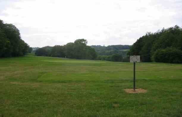
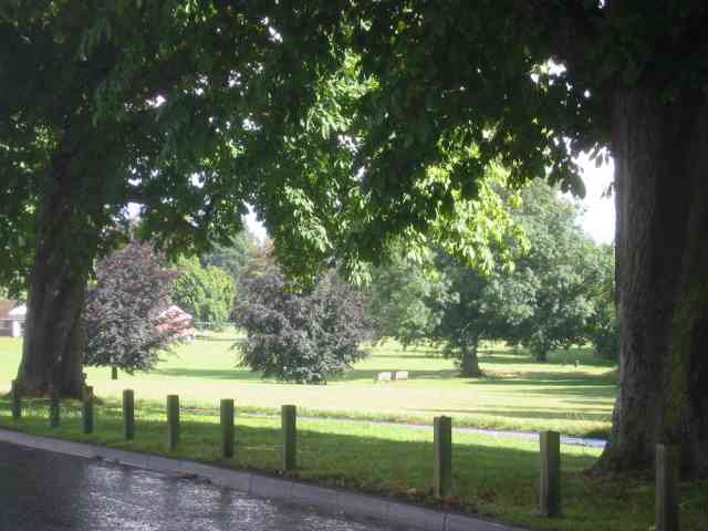
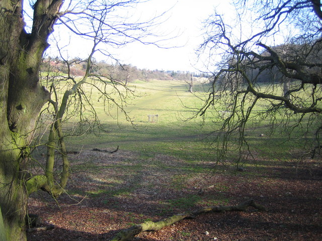
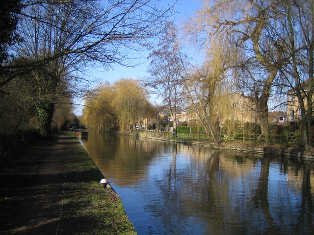
The Rough Patch, located in Hertfordshire, is a pristine woodland area encompassing approximately 100 acres of land. Renowned for its natural beauty and abundant wildlife, this forested region offers a serene and picturesque setting for nature enthusiasts and adventure seekers alike.
The dense woodland is primarily composed of a variety of trees, including oak, beech, and birch, providing a diverse and vibrant ecosystem. The forest floor is adorned with a lush carpet of ferns, wildflowers, and moss, further enhancing its enchanting appeal.
Numerous walking trails wind their way through The Rough Patch, offering visitors the chance to explore and discover its hidden gems. These pathways cater to all skill levels, from leisurely strolls to more challenging hikes, accommodating both casual walkers and avid hikers.
Wildlife thrives within the forest, with a plethora of species calling The Rough Patch their home. Birdwatchers can spot a wide range of avian residents, such as woodpeckers, owls, and various songbirds. Squirrels, foxes, and deer can also be observed, adding to the enchantment of this natural haven.
The Rough Patch is a popular destination for nature lovers and families seeking outdoor activities. It provides opportunities for picnicking, camping, and even organized educational programs, allowing visitors to delve deeper into the wonders of the woodland.
Whether seeking solitude in nature or engaging in outdoor adventures, The Rough Patch in Hertfordshire offers a delightful retreat for those seeking to immerse themselves in the beauty and tranquility of a thriving forest environment.
If you have any feedback on the listing, please let us know in the comments section below.
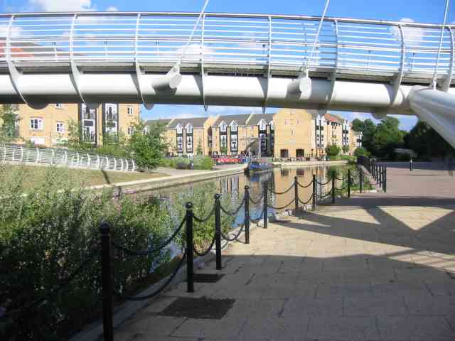
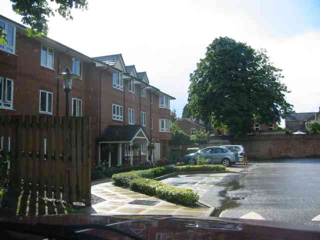
The Rough Patch Images
Images are sourced within 2km of 51.736839/-0.47140539 or Grid Reference TL0505. Thanks to Geograph Open Source API. All images are credited.
The Rough Patch is located at Grid Ref: TL0505 (Lat: 51.736839, Lng: -0.47140539)
Administrative County: Hertfordshire
District: Dacorum
Police Authority: Hertfordshire
What 3 Words
///tall.zips.shower. Near Hemel Hempstead, Hertfordshire
Nearby Locations
Related Wikis

Apsley, Hertfordshire
Apsley was a 19th-century mill village in the county of Hertfordshire, England. It is a historic industrial site situated in a valley of the Chiltern Hills...

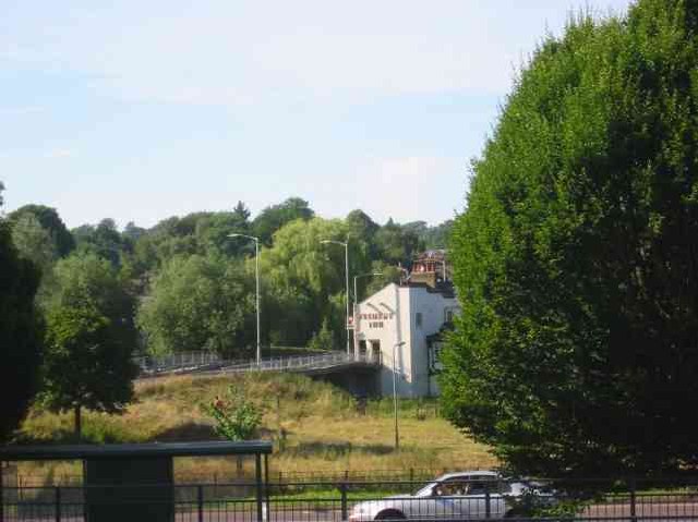
River Bulbourne
The River Bulbourne is a small river in Dacorum, Hertfordshire, England. The word bourne derives from the Anglo-Saxon word for a stream. It is an unnavigable...
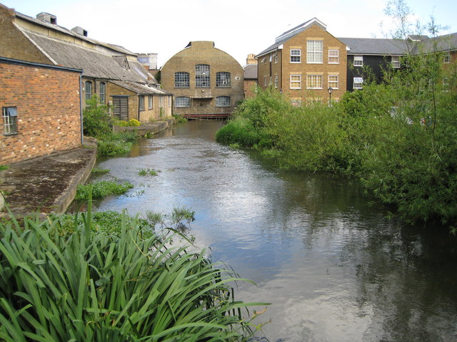
Frogmore Paper Mill
Frogmore Paper Mill is a working paper mill situated in Apsley, Hertfordshire, near Hemel Hempstead. The mill is on an island in the River Gade, which...

The Beacon, Hemel Hempstead
The Beacon is a 17-storey block of 272 flats planned to be built in Hemel Hempstead, Hertfordshire, England. The developer Lumiere Developments claims...

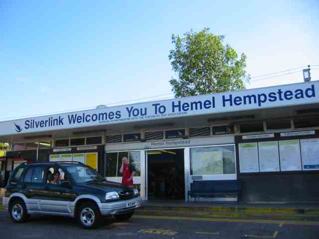
Apsley railway station
Apsley railway station is in Apsley, on the southern outskirts of Hemel Hempstead, Hertfordshire, England. One of two railway stations now serving the...
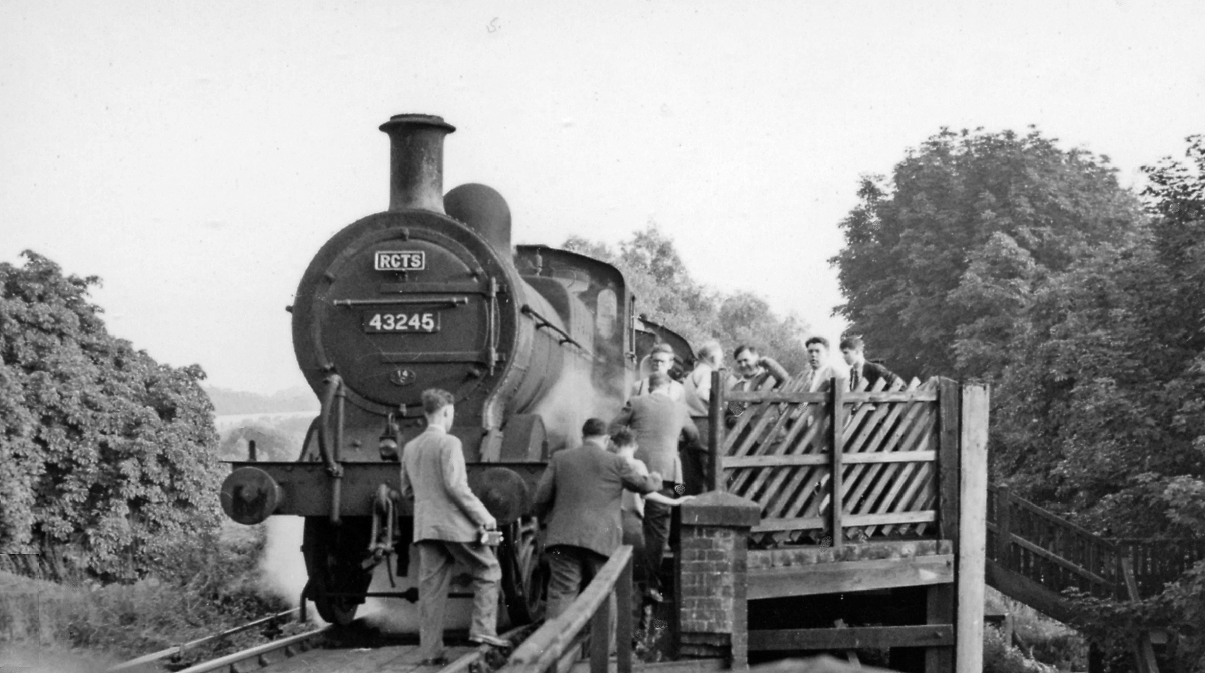
Heath Park Halt railway station
Heath Park Halt was a railway station in Hemel Hempstead, Hertfordshire in England, UK. It was the terminus for passenger services on the Nickey line,...

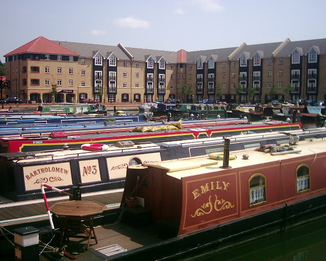
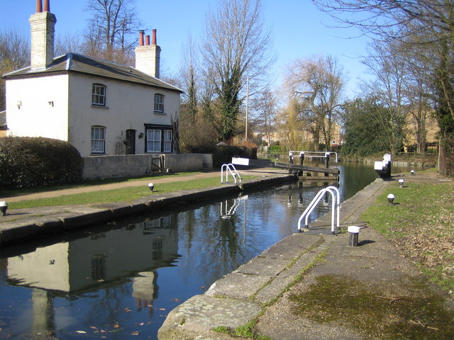
Apsley Marina
Apsley Marina, also referred to as Apsley Lock Marina, is a basin used for mooring narrowboats on the east side of the Grand Union Canal at Apsley, Hertfordshire...

St John's Church, Boxmoor
The Church of St John the Evangelist is a Grade II listed church in Boxmoor, Hertfordshire, England. The church was consecrated in 1874 on land purchased...
Nearby Amenities
Located within 500m of 51.736839,-0.47140539Have you been to The Rough Patch?
Leave your review of The Rough Patch below (or comments, questions and feedback).