Two Waters
Settlement in Hertfordshire Dacorum
England
Two Waters
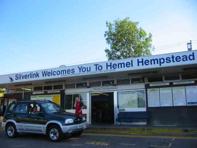
Two Waters is a small village located in the county of Hertfordshire, England. Situated approximately 1.5 miles east of the town of Hemel Hempstead, it is nestled in the Chiltern Hills, offering residents and visitors picturesque views of the surrounding countryside.
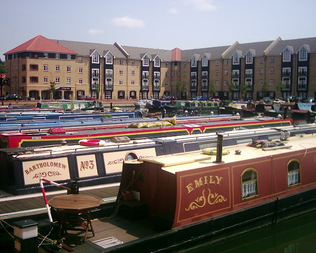
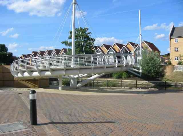
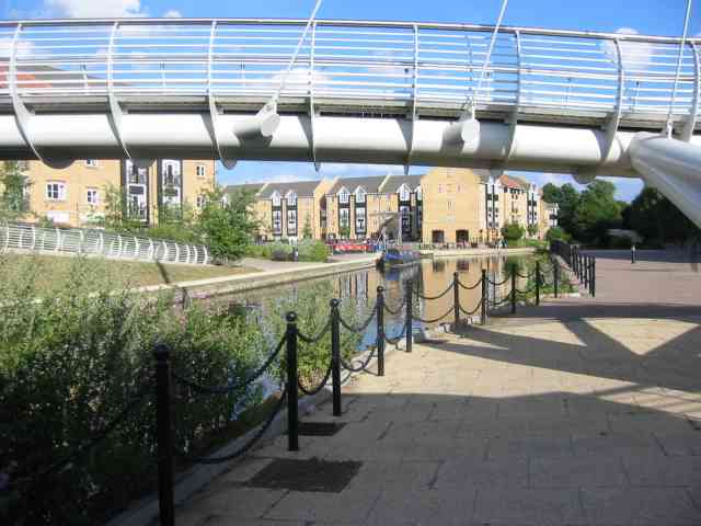
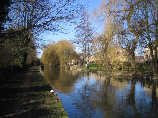
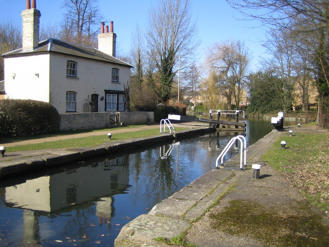
The village gets its name from the two streams that flow through it, the River Gade and the River Bulbourne, which eventually merge at this point. These waterways have played a significant role in the village's history, serving as a source of water and power for local industries in the past.
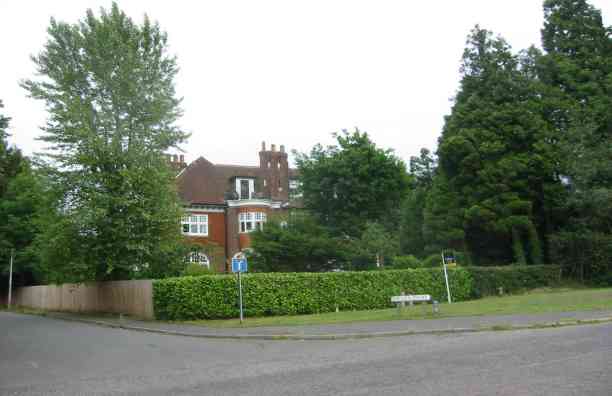
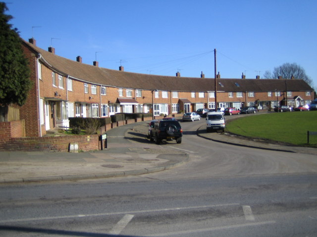
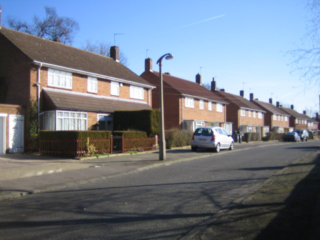
The population of Two Waters is relatively small, with a close-knit community of around 500 residents. Most of the village is made up of traditional, charming cottages and houses, giving it a quaint and idyllic atmosphere.
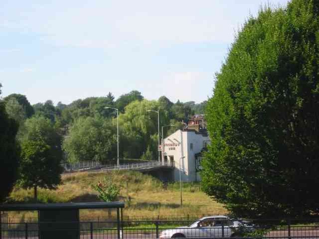
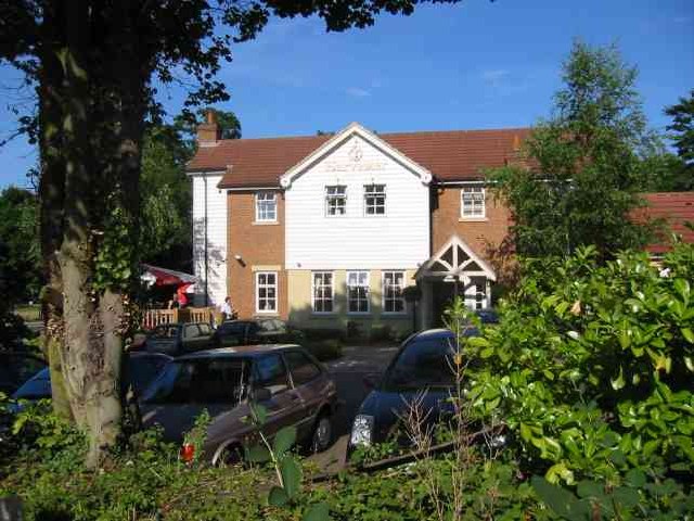
Despite its small size, Two Waters has a few amenities to offer its residents. There is a local pub, The Fishery Inn, which is a popular spot for locals to gather and socialize. Additionally, the village has a primary school, providing education for the younger population.
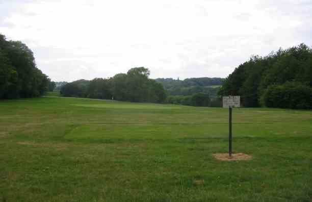
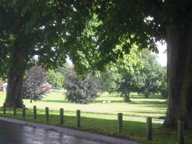
The surrounding countryside offers plenty of opportunities for outdoor activities and exploration, with numerous footpaths and nature trails weaving through the area. Nearby attractions include the Ashridge Estate, a stunning National Trust site known for its woodlands and historic buildings.
Overall, Two Waters is a tranquil and scenic village that appeals to those seeking a peaceful rural lifestyle while still being in close proximity to larger towns and amenities.
If you have any feedback on the listing, please let us know in the comments section below.
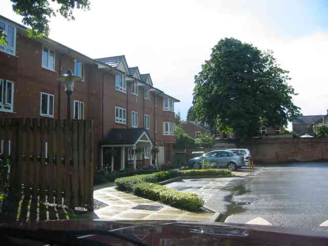
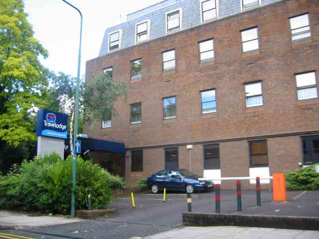
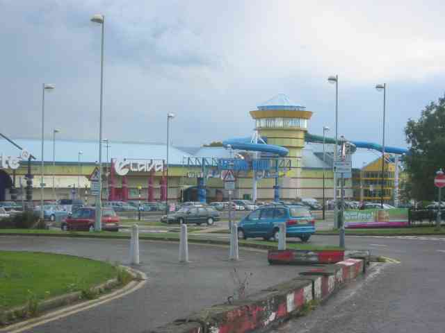
Two Waters Images
Images are sourced within 2km of 51.740495/-0.474163 or Grid Reference TL0505. Thanks to Geograph Open Source API. All images are credited.
Two Waters is located at Grid Ref: TL0505 (Lat: 51.740495, Lng: -0.474163)
Administrative County: Hertfordshire
District: Dacorum
Police Authority: Hertfordshire
What 3 Words
///hardly.gone.useful. Near Hemel Hempstead, Hertfordshire
Nearby Locations
Related Wikis

The Beacon, Hemel Hempstead
The Beacon is a 17-storey block of 272 flats planned to be built in Hemel Hempstead, Hertfordshire, England. The developer Lumiere Developments claims...

River Bulbourne
The River Bulbourne is a small river in Dacorum, Hertfordshire, England. The word bourne derives from the Anglo-Saxon word for a stream. It is an unnavigable...

Apsley, Hertfordshire
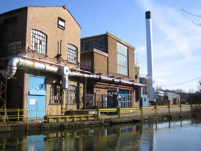
Apsley was a 19th-century mill village in the county of Hertfordshire, England. It is a historic industrial site situated in a valley of the Chiltern Hills...
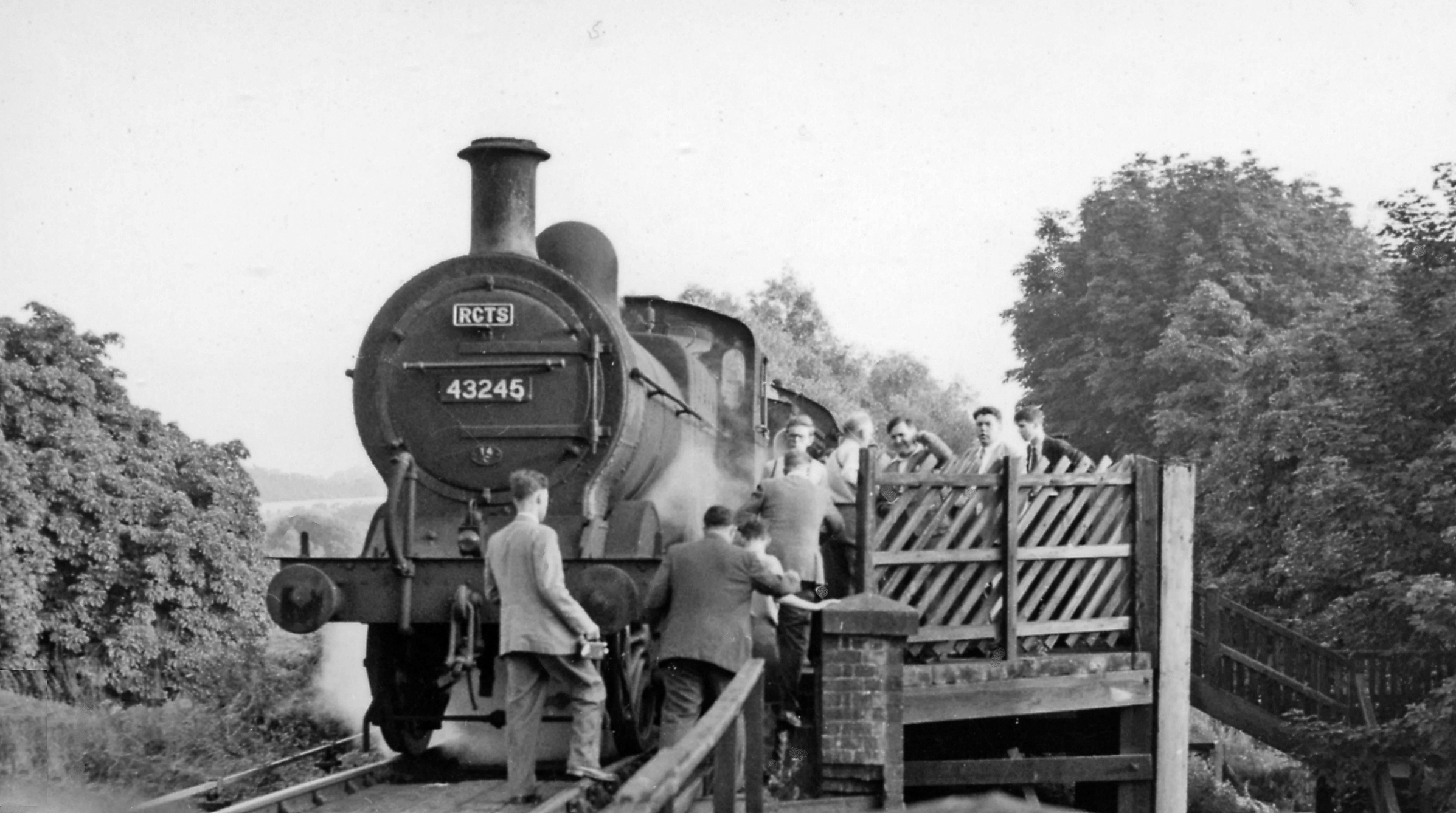
Heath Park Halt railway station
Heath Park Halt was a railway station in Hemel Hempstead, Hertfordshire in England, UK. It was the terminus for passenger services on the Nickey line,...
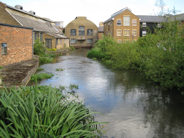
Frogmore Paper Mill
Frogmore Paper Mill is a working paper mill situated in Apsley, Hertfordshire, near Hemel Hempstead. The mill is on an island in the River Gade, which...

St John's Church, Boxmoor
The Church of St John the Evangelist is a Grade II listed church in Boxmoor, Hertfordshire, England. The church was consecrated in 1874 on land purchased...

Magic Roundabout (Hemel Hempstead)
"The Magic Roundabout" in Hemel Hempstead, Hertfordshire, England, is the familiar name given to the melon Roundabout. The familiar name comes from the...
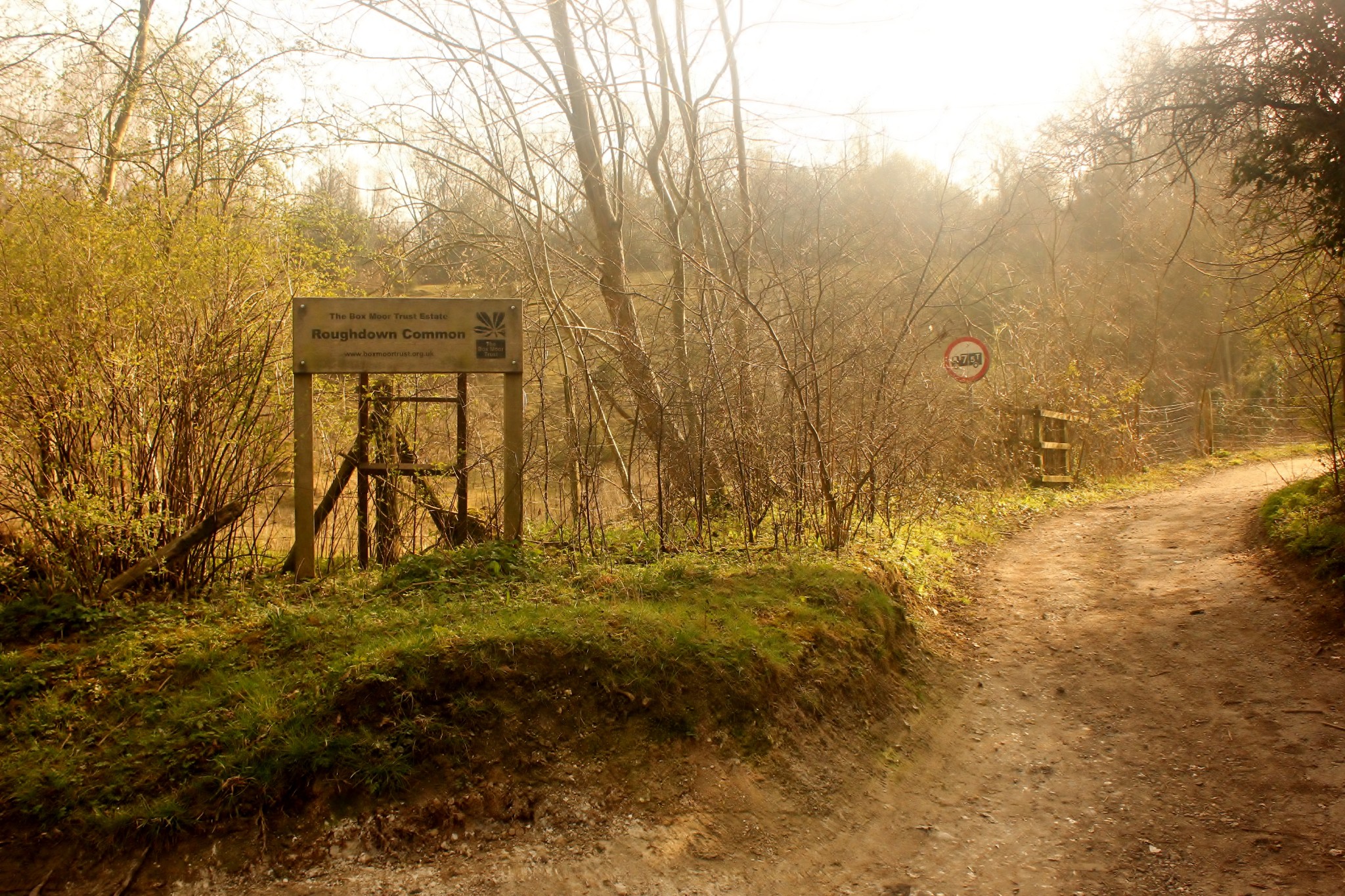
Roughdown Common
Roughdown Common is a 3.6-hectare (8.9-acre) biological Site of Special Scientific Interest in Hemel Hempstead in Hertfordshire. The planning authority...
Nearby Amenities
Located within 500m of 51.740495,-0.474163Have you been to Two Waters?
Leave your review of Two Waters below (or comments, questions and feedback).